Imperial is a city in Chase County, Nebraska, United States. The population was 2,071 at the 2010 census. It is the county seat of Chase County.
| Name: | Imperial city |
|---|---|
| LSAD Code: | 25 |
| LSAD Description: | city (suffix) |
| State: | Nebraska |
| County: | Chase County |
| Elevation: | 3,284 ft (1,001 m) |
| Total Area: | 3.03 sq mi (7.85 km²) |
| Land Area: | 3.02 sq mi (7.83 km²) |
| Water Area: | 0.01 sq mi (0.01 km²) |
| Total Population: | 2,068 |
| Population Density: | 683.64/sq mi (263.95/km²) |
| ZIP code: | 69033 |
| Area code: | 308 |
| FIPS code: | 3123690 |
| GNISfeature ID: | 0830263 |
| Website: | imperial-ne.com |
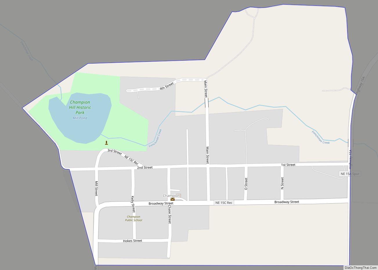
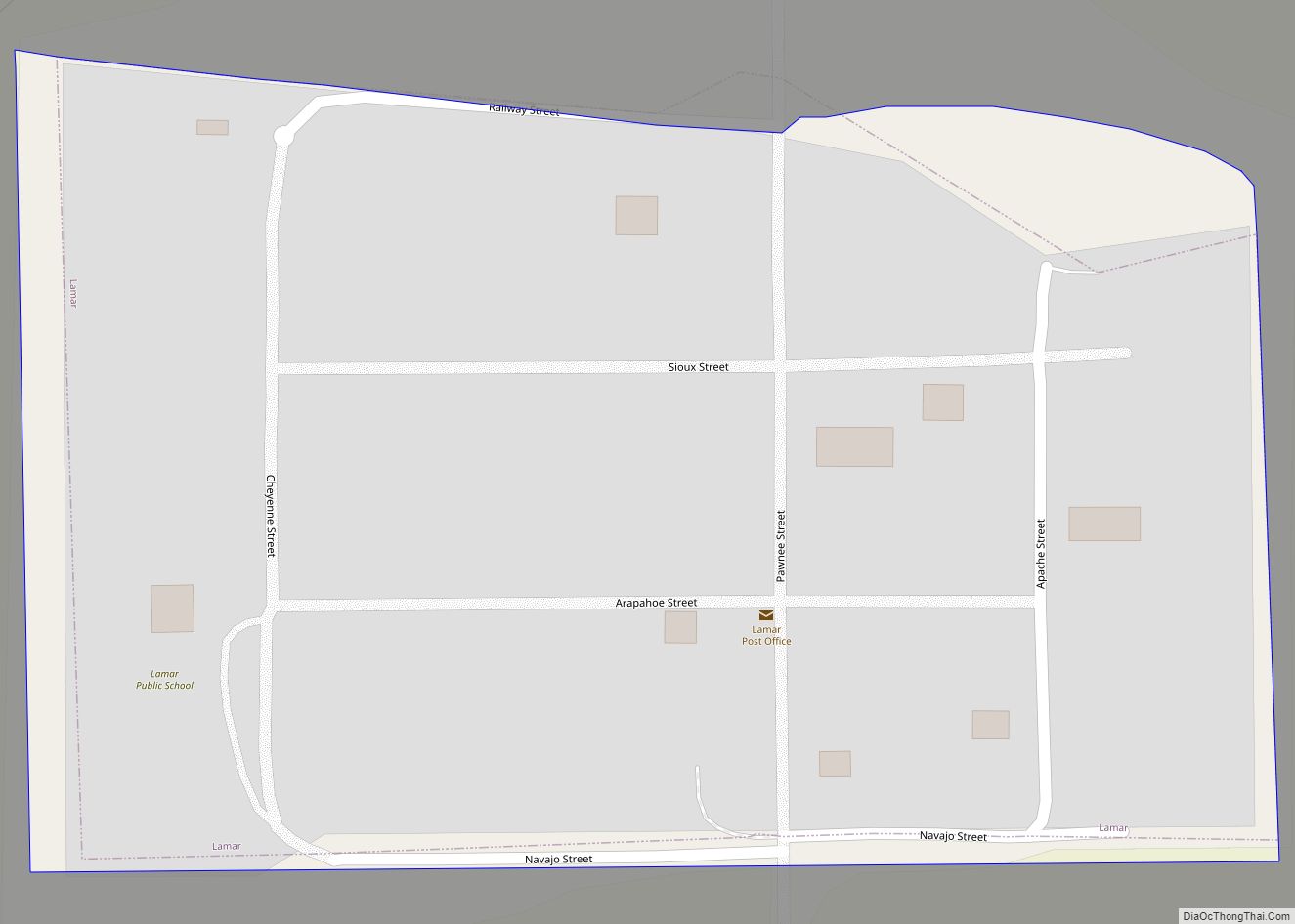
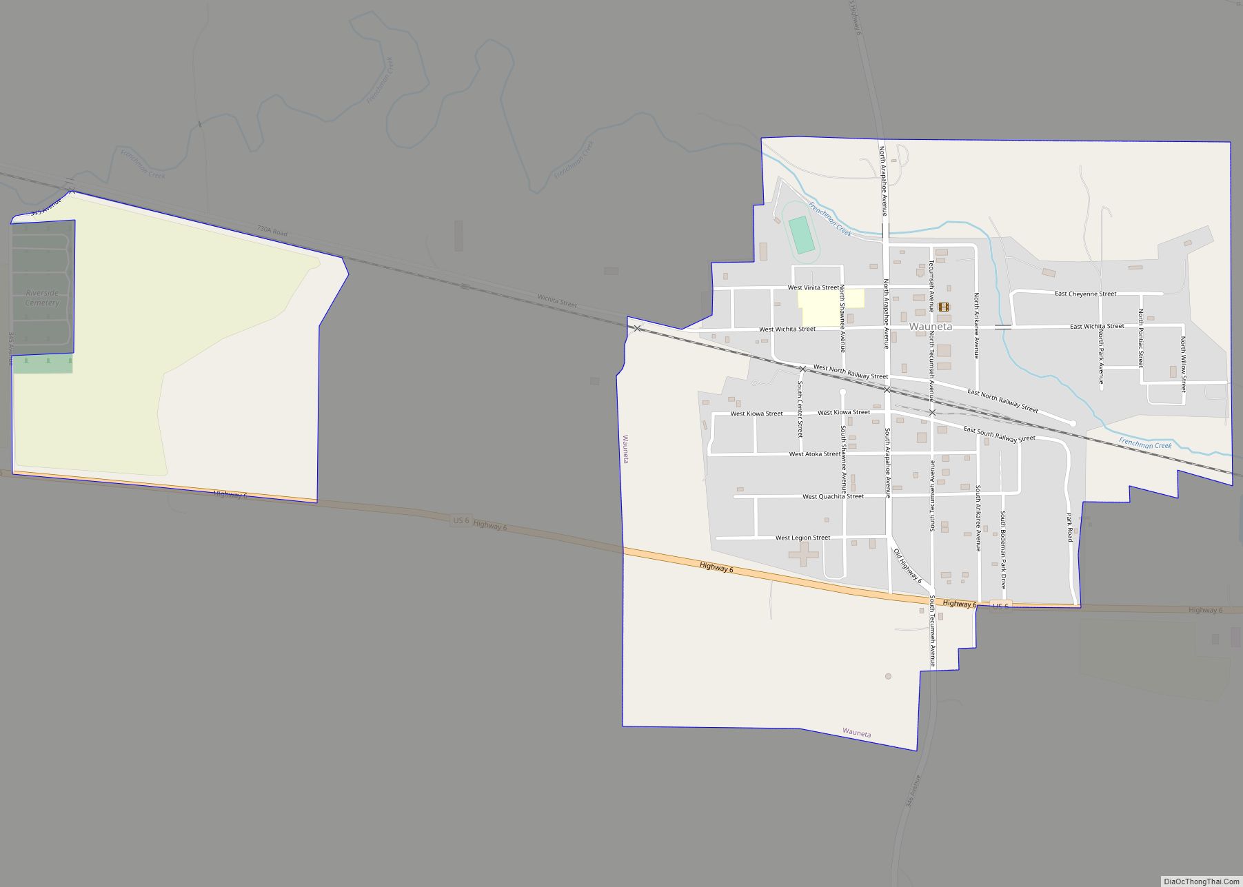
Online Interactive Map
Click on ![]() to view map in "full screen" mode.
to view map in "full screen" mode.
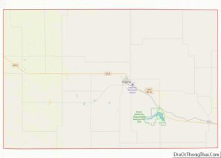
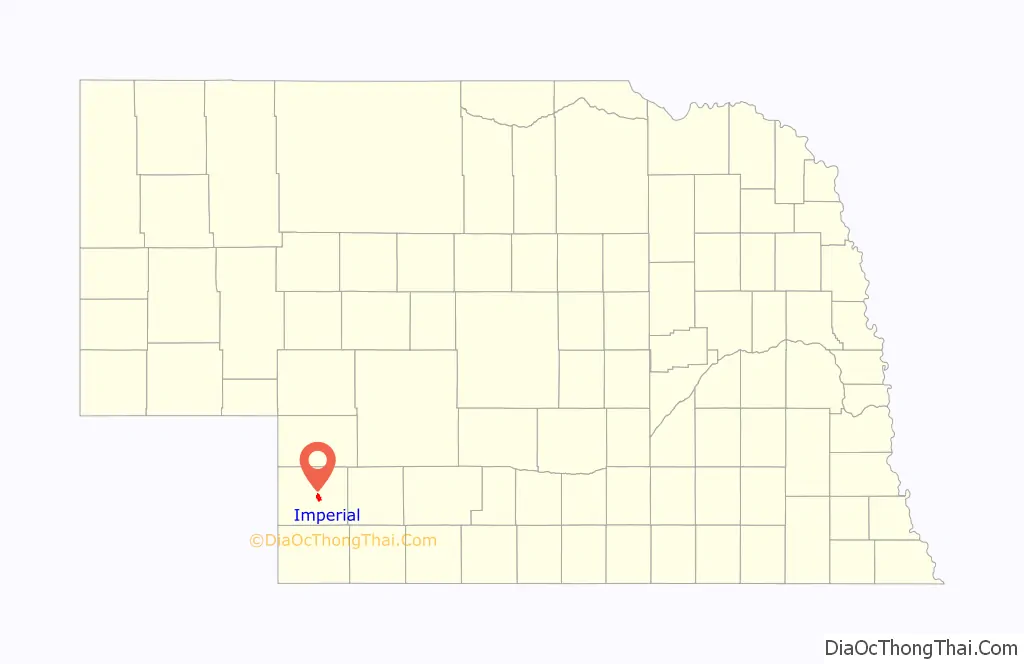
Imperial location map. Where is Imperial city?

History
The original town of Imperial was built on land homesteaded by Thomas Mercier and M. J. Goodrich. These men gave a town lot to anyone who would put up a building and help to start the town. Mercier was the first postmaster and took office on December 14, 1885.
The railroad right of way was graded to Imperial in 1888. The railroad reached Imperial on August 15, 1892. It was built by a division of the Chicago, Burlington and Quincy Railroad. This line left the main line near Culbertson and terminated in Imperial.
When the grade was completed, the Lincoln Land Company gave lots to all those who would move their buildings to the “Railroad Addition”. Nearly all of the buildings were moved south to the future railroad line and the present location of the business district of the town was established.
Imperial’s first courthouse was built in 1889 on the land where the present courthouse stands.
National Register of Historic Places listings
- Balcony House (listed 2000), at the corner of 10th and Court Streets, one block west of Broadway on 10th Street.
- Chase County Court House (listed 1990), on Broadway between 9th and 10th Streets.
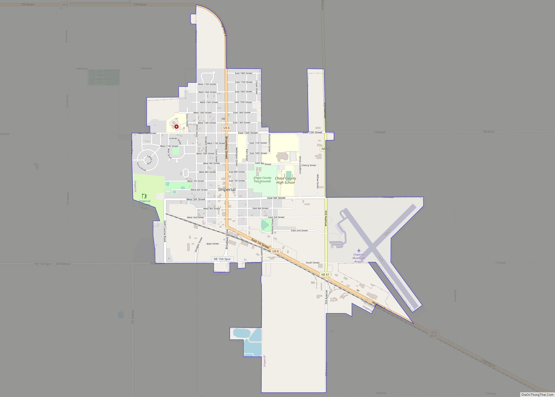
Imperial Road Map
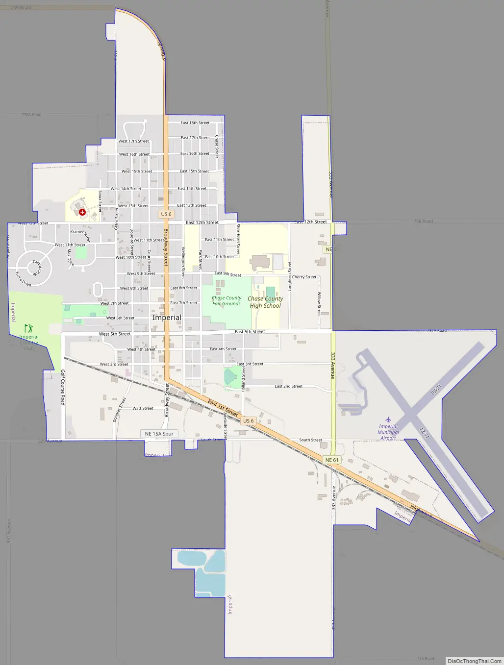
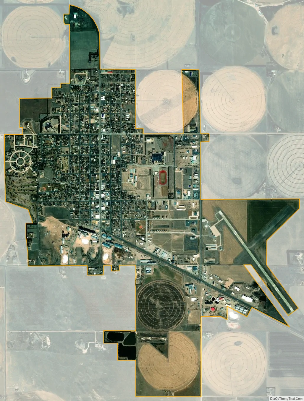
Imperial city Satellite Map
Geography
According to the United States Census Bureau, the city has a total area of 2.95 square miles (7.64 km), all land.
Climate
See also
Map of Nebraska State and its subdivision:- Adams
- Antelope
- Arthur
- Banner
- Blaine
- Boone
- Box Butte
- Boyd
- Brown
- Buffalo
- Burt
- Butler
- Cass
- Cedar
- Chase
- Cherry
- Cheyenne
- Clay
- Colfax
- Cuming
- Custer
- Dakota
- Dawes
- Dawson
- Deuel
- Dixon
- Dodge
- Douglas
- Dundy
- Fillmore
- Franklin
- Frontier
- Furnas
- Gage
- Garden
- Garfield
- Gosper
- Grant
- Greeley
- Hall
- Hamilton
- Harlan
- Hayes
- Hitchcock
- Holt
- Hooker
- Howard
- Jefferson
- Johnson
- Kearney
- Keith
- Keya Paha
- Kimball
- Knox
- Lancaster
- Lincoln
- Logan
- Loup
- Madison
- McPherson
- Merrick
- Morrill
- Nance
- Nemaha
- Nuckolls
- Otoe
- Pawnee
- Perkins
- Phelps
- Pierce
- Platte
- Polk
- Red Willow
- Richardson
- Rock
- Saline
- Sarpy
- Saunders
- Scotts Bluff
- Seward
- Sheridan
- Sherman
- Sioux
- Stanton
- Thayer
- Thomas
- Thurston
- Valley
- Washington
- Wayne
- Webster
- Wheeler
- York
- Alabama
- Alaska
- Arizona
- Arkansas
- California
- Colorado
- Connecticut
- Delaware
- District of Columbia
- Florida
- Georgia
- Hawaii
- Idaho
- Illinois
- Indiana
- Iowa
- Kansas
- Kentucky
- Louisiana
- Maine
- Maryland
- Massachusetts
- Michigan
- Minnesota
- Mississippi
- Missouri
- Montana
- Nebraska
- Nevada
- New Hampshire
- New Jersey
- New Mexico
- New York
- North Carolina
- North Dakota
- Ohio
- Oklahoma
- Oregon
- Pennsylvania
- Rhode Island
- South Carolina
- South Dakota
- Tennessee
- Texas
- Utah
- Vermont
- Virginia
- Washington
- West Virginia
- Wisconsin
- Wyoming