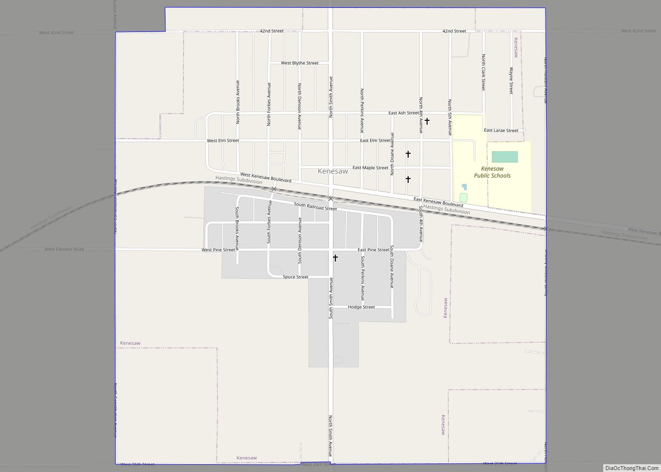
Kenesaw is a village in Adams County, Nebraska, United States. The population was 917 at the 2020 census. It is part of the Hastings, Nebraska Micropolitan Statistical Area.
| Name: | Kenesaw village |
|---|---|
| LSAD Code: | 47 |
| LSAD Description: | village (suffix) |
| State: | Nebraska |
| County: | Adams County |
| Elevation: | 2,051 ft (625 m) |
| Total Area: | 1.06 sq mi (2.74 km²) |
| Land Area: | 1.06 sq mi (2.74 km²) |
| Water Area: | 0.00 sq mi (0.00 km²) |
| Total Population: | 917 |
| Population Density: | 870/sq mi (330/km²) |
| ZIP code: | 68956 |
| Area code: | 402 |
| FIPS code: | 3125160 |
| GNISfeature ID: | 0830469 |
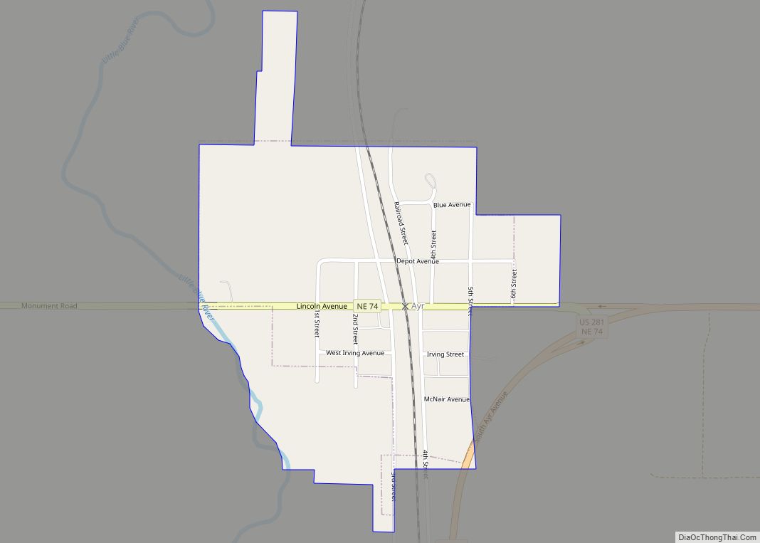
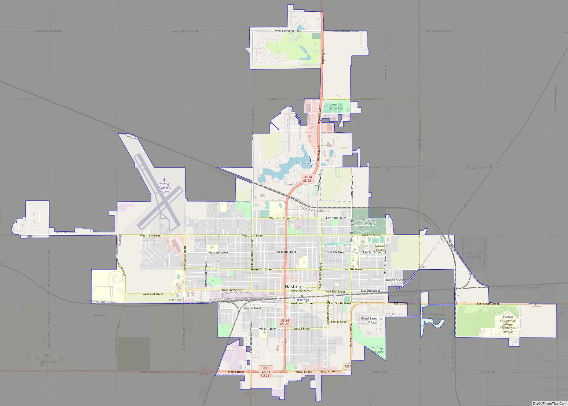
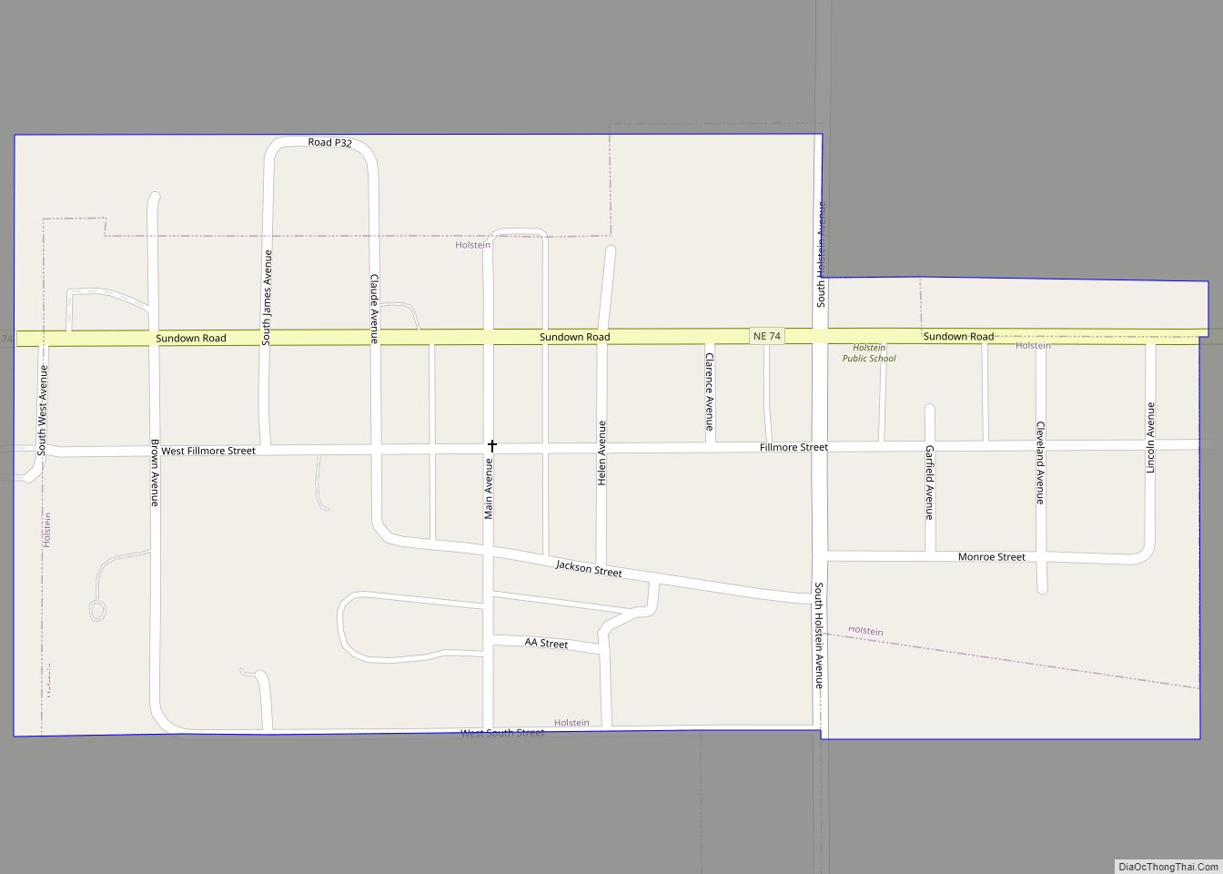
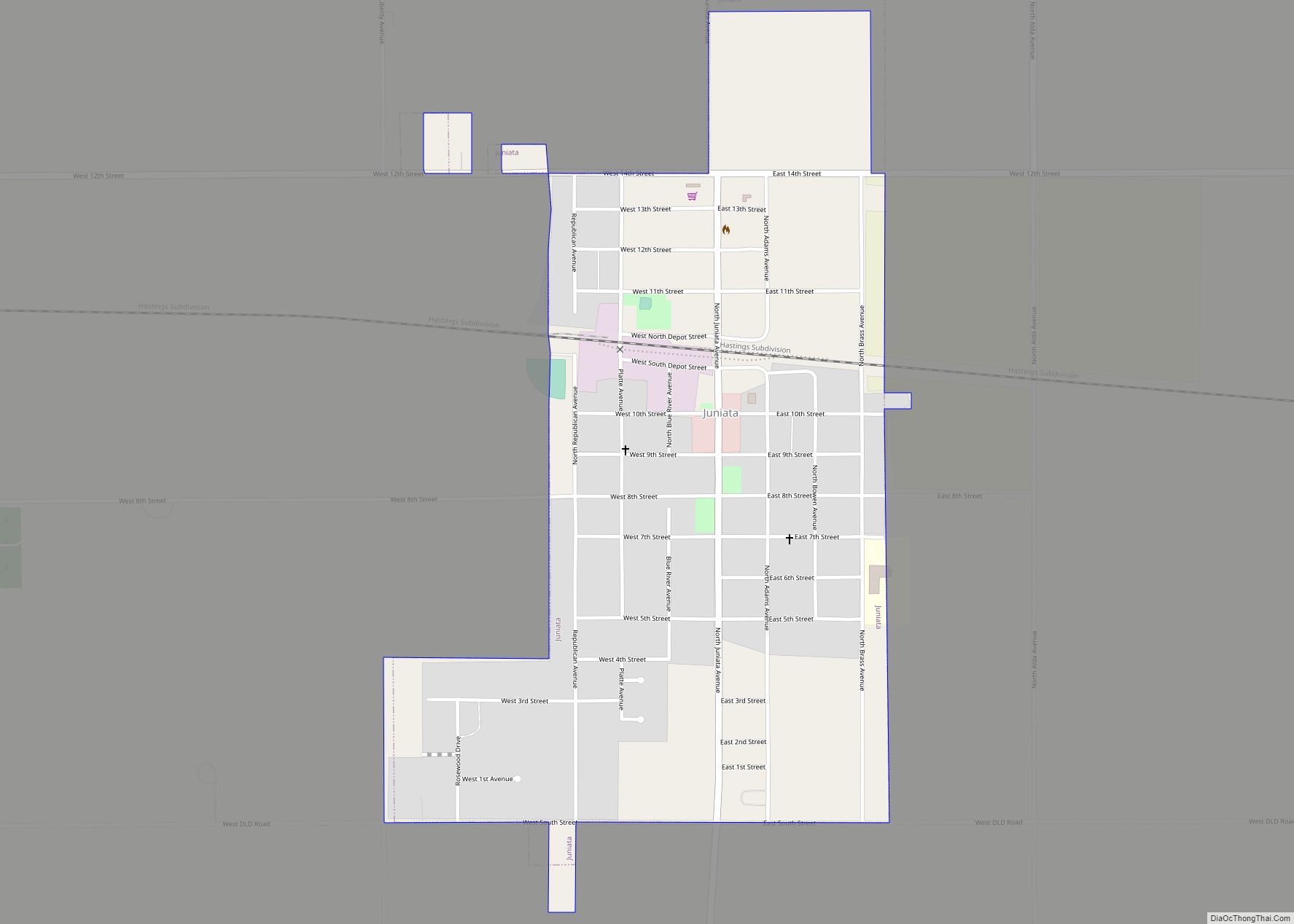
Online Interactive Map
Click on ![]() to view map in "full screen" mode.
to view map in "full screen" mode.
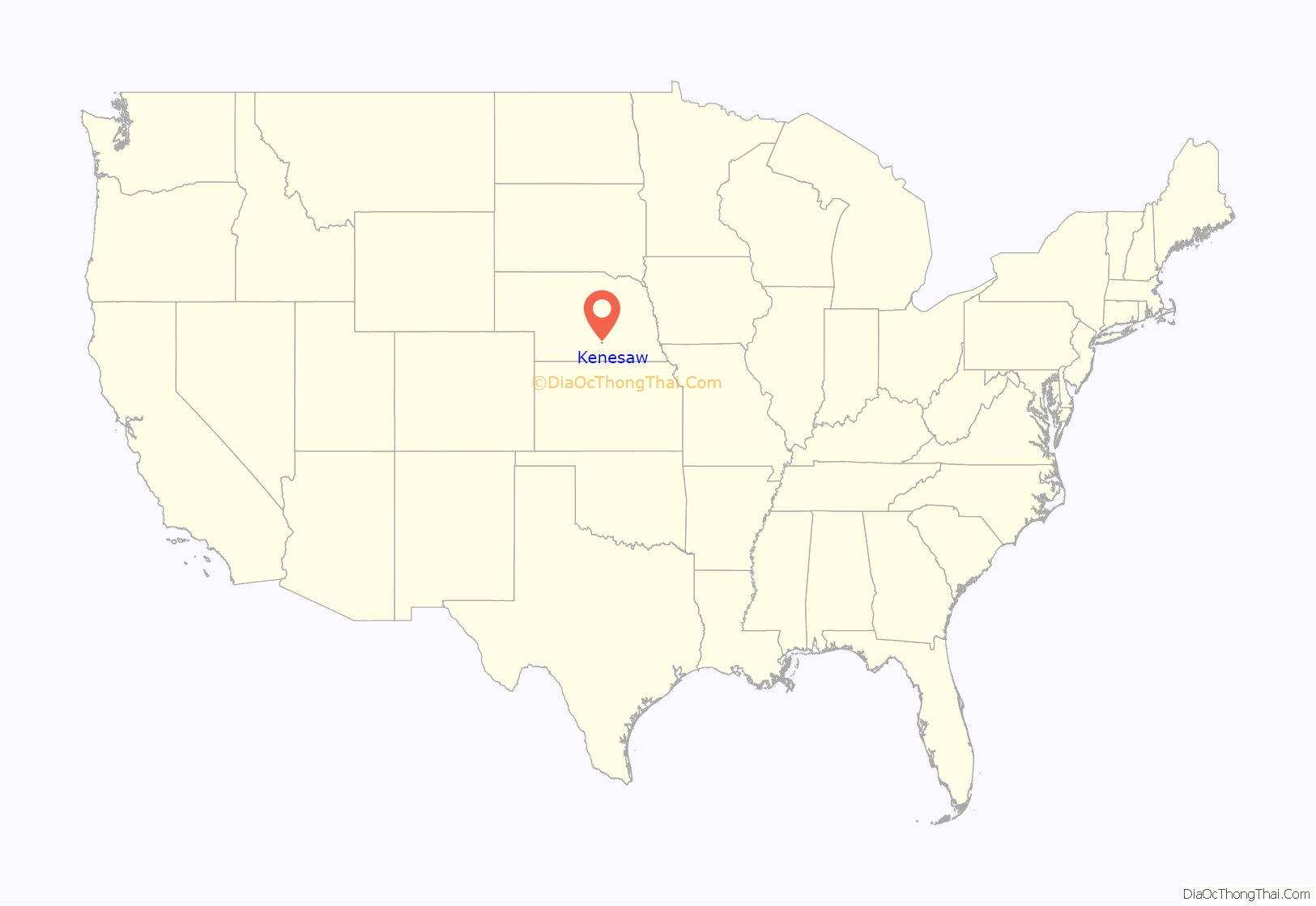
Kenesaw location map. Where is Kenesaw village?

History
Kenesaw got its start in the year 1872, following construction of the Burlington railroad through the territory. Its name commemorates the Battle of Kennesaw Mountain in the American Civil War.
In a 2004 attempt to increase the population and school enrollment, the village offered free home lots on the condition that the new owner build a house within a year. Three weeks after the publication of the offer, seven of the fifteen available lots had been claimed.
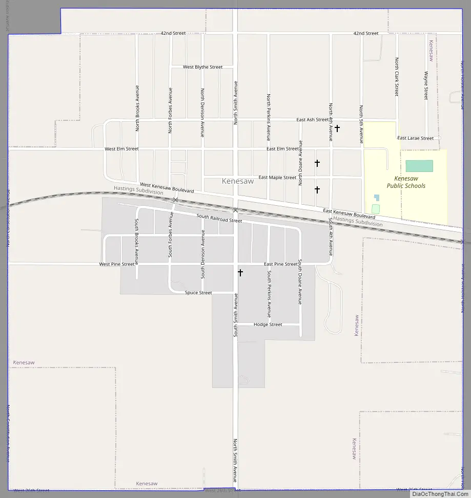
Kenesaw Road Map
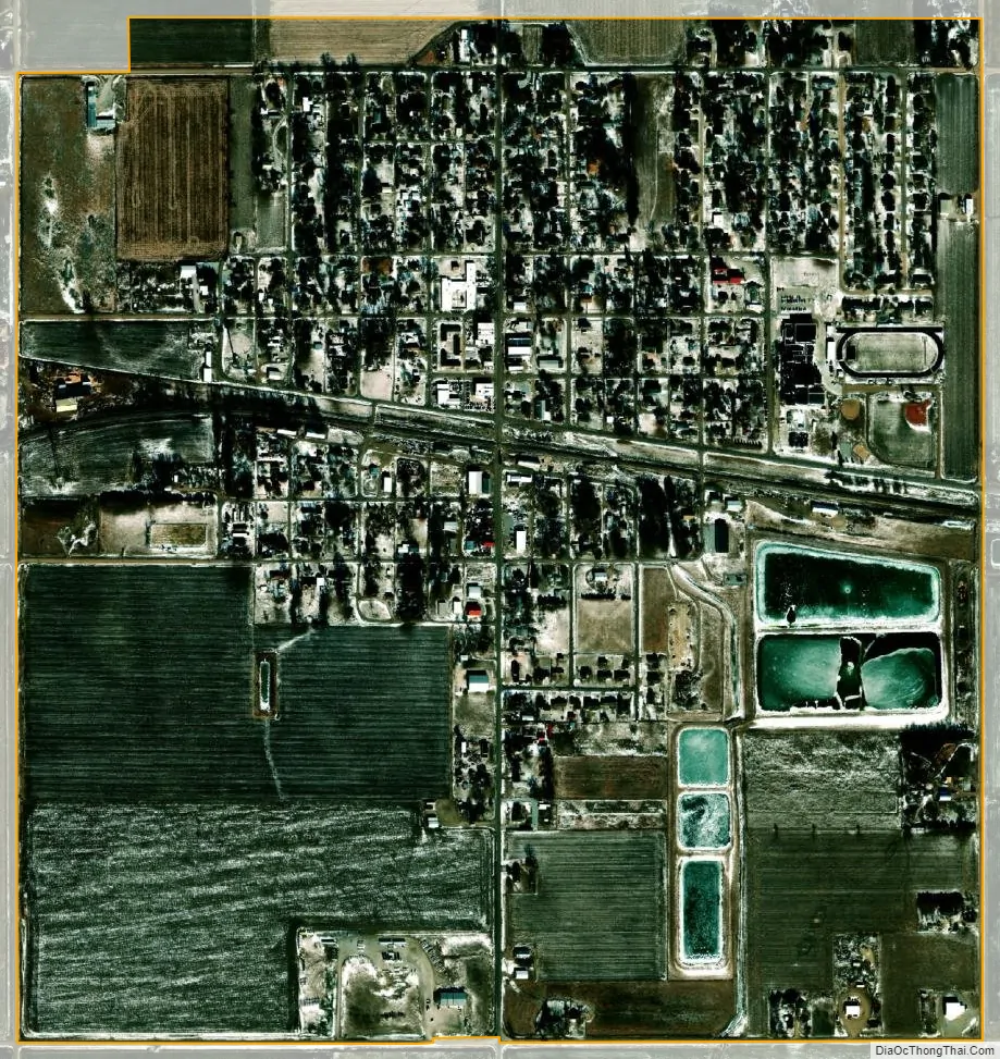
Kenesaw city Satellite Map
Geography
Kenesaw is located at 40°37′18″N 98°39′25″W / 40.62167°N 98.65694°W / 40.62167; -98.65694 (40.621679, -98.657029).
According to the United States Census Bureau, the village has a total area of 0.79 square miles (2.05 km), all land.
See also
Map of Nebraska State and its subdivision:- Adams
- Antelope
- Arthur
- Banner
- Blaine
- Boone
- Box Butte
- Boyd
- Brown
- Buffalo
- Burt
- Butler
- Cass
- Cedar
- Chase
- Cherry
- Cheyenne
- Clay
- Colfax
- Cuming
- Custer
- Dakota
- Dawes
- Dawson
- Deuel
- Dixon
- Dodge
- Douglas
- Dundy
- Fillmore
- Franklin
- Frontier
- Furnas
- Gage
- Garden
- Garfield
- Gosper
- Grant
- Greeley
- Hall
- Hamilton
- Harlan
- Hayes
- Hitchcock
- Holt
- Hooker
- Howard
- Jefferson
- Johnson
- Kearney
- Keith
- Keya Paha
- Kimball
- Knox
- Lancaster
- Lincoln
- Logan
- Loup
- Madison
- McPherson
- Merrick
- Morrill
- Nance
- Nemaha
- Nuckolls
- Otoe
- Pawnee
- Perkins
- Phelps
- Pierce
- Platte
- Polk
- Red Willow
- Richardson
- Rock
- Saline
- Sarpy
- Saunders
- Scotts Bluff
- Seward
- Sheridan
- Sherman
- Sioux
- Stanton
- Thayer
- Thomas
- Thurston
- Valley
- Washington
- Wayne
- Webster
- Wheeler
- York
- Alabama
- Alaska
- Arizona
- Arkansas
- California
- Colorado
- Connecticut
- Delaware
- District of Columbia
- Florida
- Georgia
- Hawaii
- Idaho
- Illinois
- Indiana
- Iowa
- Kansas
- Kentucky
- Louisiana
- Maine
- Maryland
- Massachusetts
- Michigan
- Minnesota
- Mississippi
- Missouri
- Montana
- Nebraska
- Nevada
- New Hampshire
- New Jersey
- New Mexico
- New York
- North Carolina
- North Dakota
- Ohio
- Oklahoma
- Oregon
- Pennsylvania
- Rhode Island
- South Carolina
- South Dakota
- Tennessee
- Texas
- Utah
- Vermont
- Virginia
- Washington
- West Virginia
- Wisconsin
- Wyoming