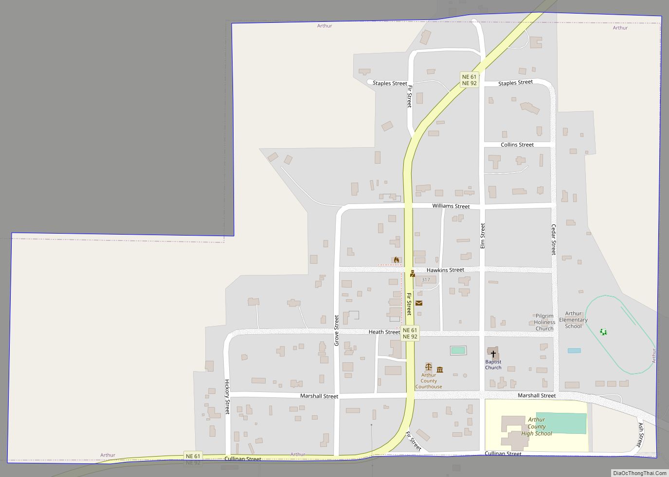
Arthur is a village in, and the county seat of Arthur County, Nebraska, United States. The population was 117 at the 2010 census. Arthur village overview: Name: Arthur village LSAD Code: 47 LSAD Description: village (suffix) State: Nebraska County: Arthur County Elevation: 3,655 ft (1,114 m) Total Area: 0.31 sq mi (0.80 km²) Land Area: 0.31 sq mi (0.80 km²) Water Area: 0.00 sq mi ... Read more
Nebraska Cities and Places
Arnold is a village in Custer County, Nebraska, United States. The population was 597 at the 2010 census. The village was named for George Arnold, a pioneer settler. Arnold village overview: Name: Arnold village LSAD Code: 47 LSAD Description: village (suffix) State: Nebraska County: Custer County Elevation: 2,700 ft (823 m) Total Area: 0.67 sq mi (1.73 km²) Land Area: ... Read more
Arlington is a village in Washington County, Nebraska, United States. The population was 1,243 at the 2010 census. Arlington is named after Arlington, Virginia. Arlington village overview: Name: Arlington village LSAD Code: 47 LSAD Description: village (suffix) State: Nebraska County: Washington County Elevation: 1,188 ft (362 m) Total Area: 0.60 sq mi (1.55 km²) Land Area: 0.60 sq mi (1.55 km²) Water Area: ... Read more
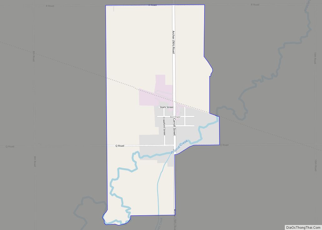
Archer is an unincorporated community and census-designated place in northwestern Merrick County, Nebraska, United States. It lies along local roads south of Nebraska Highway 92, northwest of the city of Central City, the county seat of Merrick County. Archer CDP overview: Name: Archer CDP LSAD Code: 57 LSAD Description: CDP (suffix) State: Nebraska County: Merrick ... Read more
Arcadia is a village in Valley County, Nebraska, United States. The population was 311 at the 2010 census. Arcadia village overview: Name: Arcadia village LSAD Code: 47 LSAD Description: village (suffix) State: Nebraska County: Valley County Elevation: 2,162 ft (659 m) Total Area: 0.57 sq mi (1.48 km²) Land Area: 0.57 sq mi (1.48 km²) Water Area: 0.00 sq mi (0.00 km²) Total Population: 283 Population ... Read more
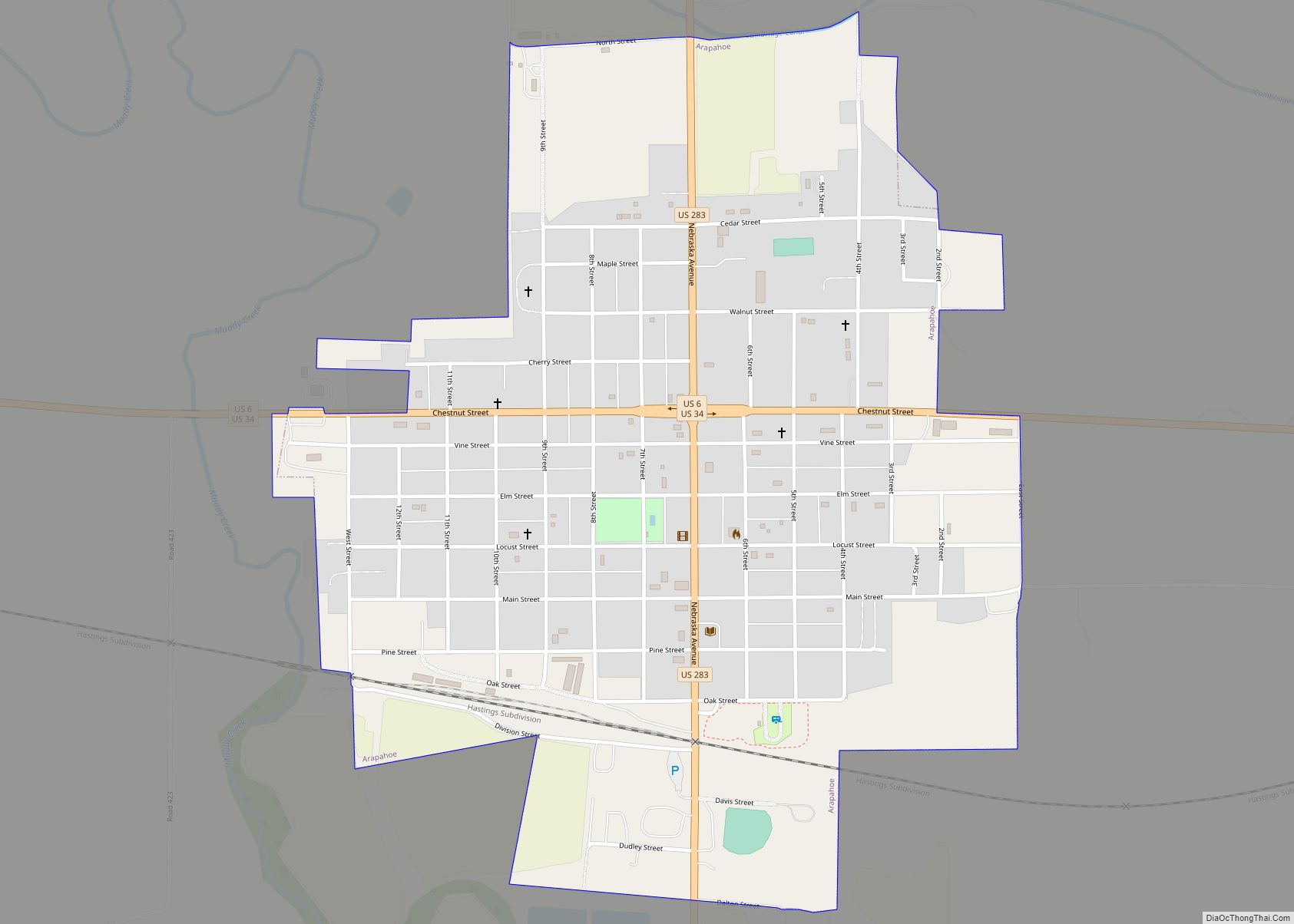
Arapahoe is a city in Furnas County, in the southern part of the state of Nebraska in the Midwestern United States. The population of the rural town was 1,026 at the 2010 census. Arapahoe city overview: Name: Arapahoe city LSAD Code: 25 LSAD Description: city (suffix) State: Nebraska County: Furnas County Elevation: 2,178 ft (664 m) Total ... Read more
Aurora is a city in Hamilton County, Nebraska, United States. The population was 4,479 at the 2010 census. It is the county seat of Hamilton County. Aurora city overview: Name: Aurora city LSAD Code: 25 LSAD Description: city (suffix) State: Nebraska County: Hamilton County Incorporated: July 3, 1877 Elevation: 1,791 ft (546 m) Total Area: 3.31 sq mi (8.58 km²) ... Read more
Auburn is a city in Nemaha County, Nebraska, United States, and its county seat. The population was 3,470 at the 2020 census. Auburn city overview: Name: Auburn city LSAD Code: 25 LSAD Description: city (suffix) State: Nebraska County: Nemaha County Elevation: 1,027 ft (313 m) Total Area: 2.19 sq mi (5.66 km²) Land Area: 2.19 sq mi (5.66 km²) Water Area: 0.00 sq mi (0.00 km²) ... Read more
Atlanta is a village in Phelps County, Nebraska, United States. The population was 131 at the 2010 Census. During World War II, the town was neighbored by Camp Atlanta, which housed more than 3,000 Nazi German prisoners of war over three years. The camp was said to house more prisoners during the war than the ... Read more
Bartlett is a village in, and the county seat of, Wheeler County, Nebraska, United States. The population was 117 at the 2010 census. Bartlett village overview: Name: Bartlett village LSAD Code: 47 LSAD Description: village (suffix) State: Nebraska County: Wheeler County Elevation: 2,175 ft (663 m) Total Area: 0.14 sq mi (0.37 km²) Land Area: 0.14 sq mi (0.37 km²) Water Area: 0.00 sq mi ... Read more
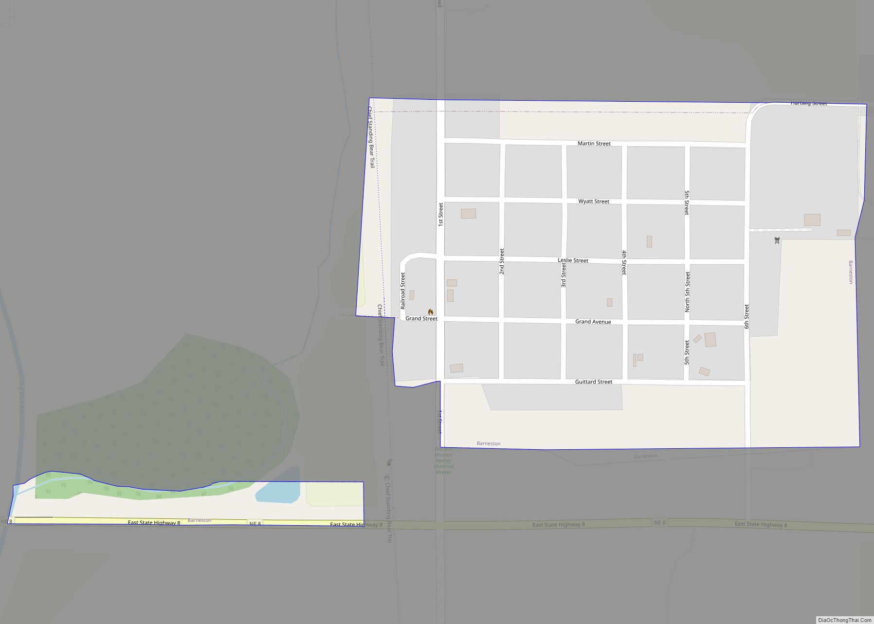
Barneston is a village in Gage County, Nebraska, United States. The population was 90 at the 2020 census. Barneston village overview: Name: Barneston village LSAD Code: 47 LSAD Description: village (suffix) State: Nebraska County: Gage County Elevation: 1,207 ft (368 m) Total Area: 0.24 sq mi (0.64 km²) Land Area: 0.24 sq mi (0.63 km²) Water Area: 0.00 sq mi (0.00 km²) Total Population: 90 Population ... Read more
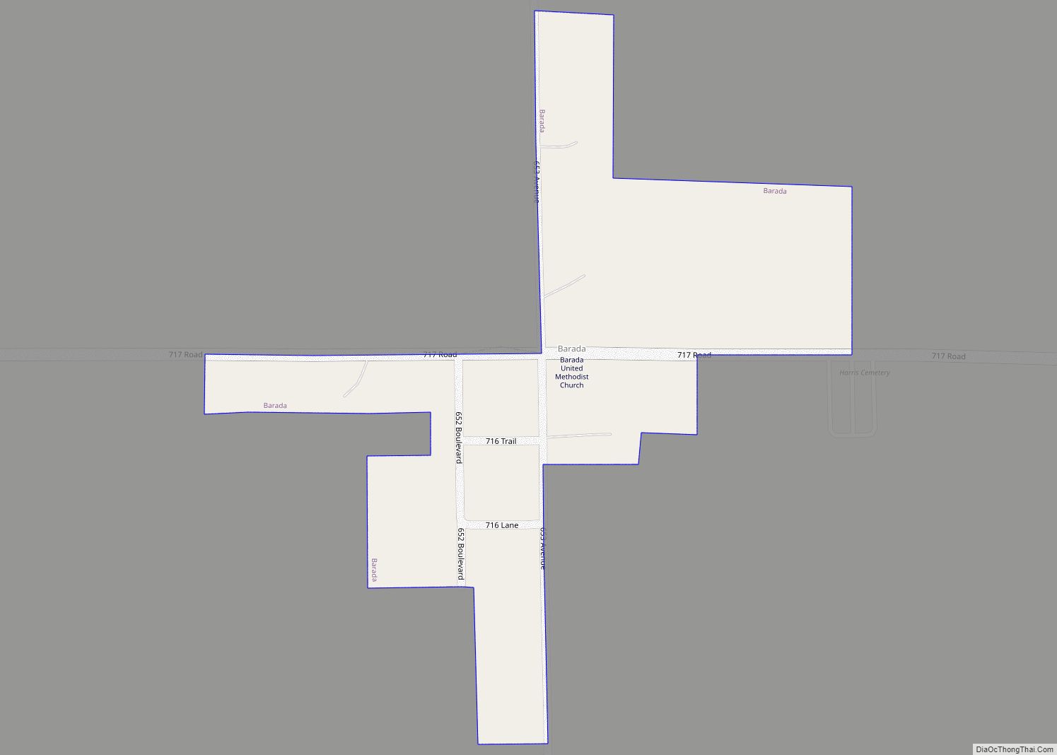
Barada (pronounced as Bear uh duh) is a village in northeast Richardson County, Nebraska, United States. The population was 20 at the 2020 census. Barada village overview: Name: Barada village LSAD Code: 47 LSAD Description: village (suffix) State: Nebraska County: Richardson County Elevation: 1,119 ft (341 m) Total Area: 0.09 sq mi (0.23 km²) Land Area: 0.09 sq mi (0.23 km²) Water Area: ... Read more
