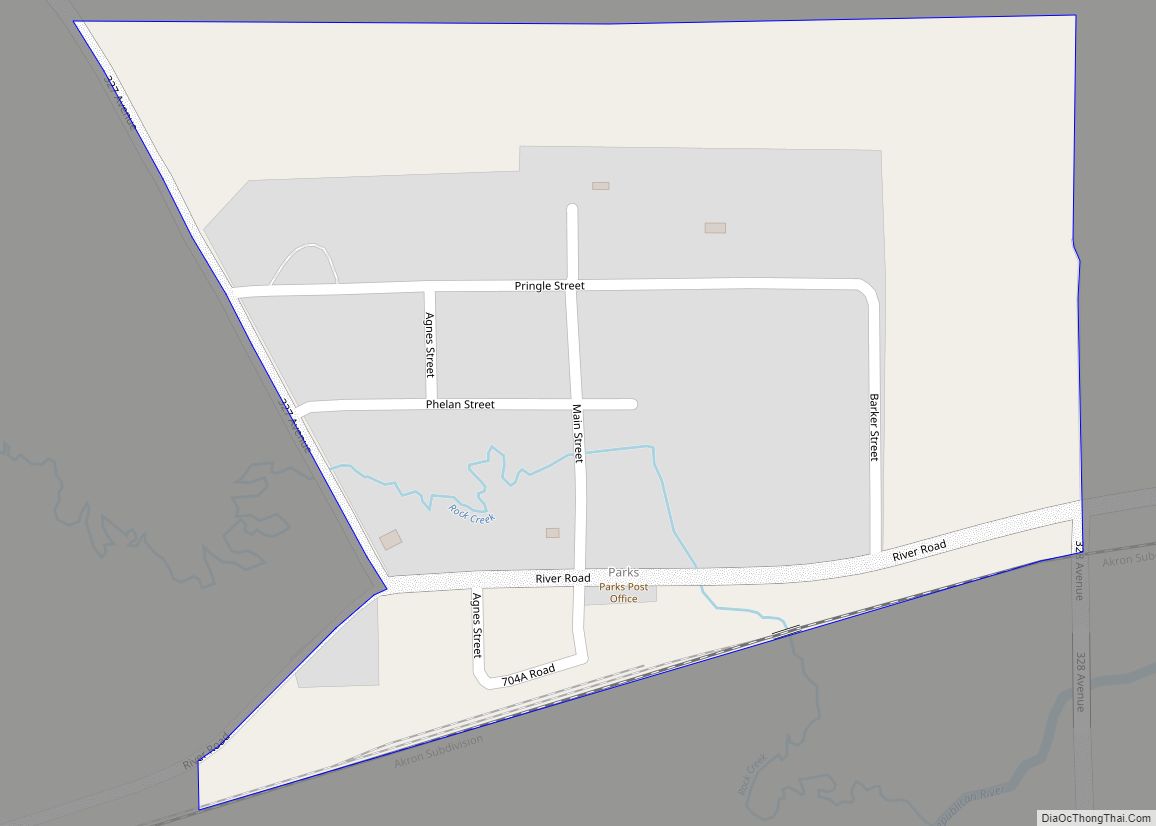
Parks is an unincorporated hamlet, located within a namesake census-designated place, in southern Dundy County, Nebraska, United States. As of the 2020 census, its population was 12. Parks lies along local roads just north of U.S. Route 34, 12 miles (19 km) west of the city of Benkelman, the county seat of Dundy County. Its elevation ... Read more
Nebraska Cities and Places
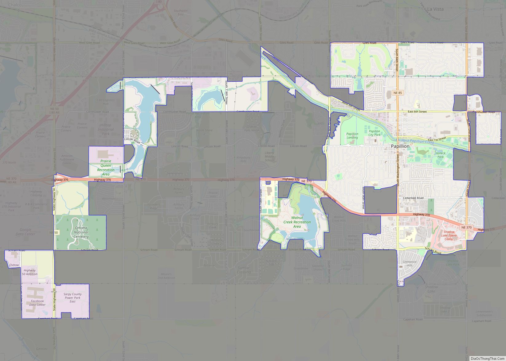
Papillion is a city in and the county seat of Sarpy County, Nebraska. The city developed in the 1870s as a railroad town and suburb of Omaha. The city is part of the larger five-county metro area of Omaha. Papillion’s population was 24,159 at the 2020 census. Its growth since the late 20th century has ... Read more
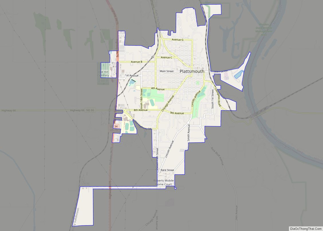
Plattsmouth is a city and county seat of Cass County, Nebraska, United States. The population was 6,620 at the 2020 census. Plattsmouth city overview: Name: Plattsmouth city LSAD Code: 25 LSAD Description: city (suffix) State: Nebraska County: Cass County Incorporated: 1855 Elevation: 1,050 ft (320 m) Total Area: 3.32 sq mi (8.60 km²) Land Area: 3.31 sq mi (8.58 km²) Water Area: 0.01 sq mi ... Read more
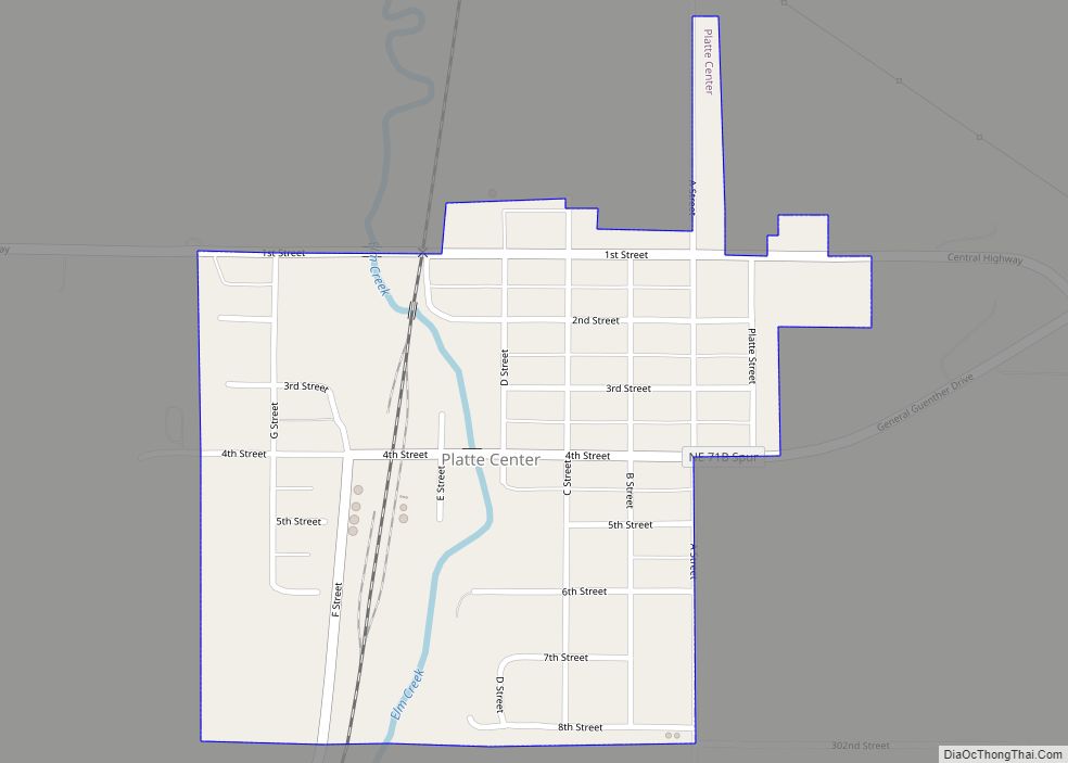
Platte Center is a village in Platte County, Nebraska, United States. The population was 336 at the 2010 census. Platte Center village overview: Name: Platte Center village LSAD Code: 47 LSAD Description: village (suffix) State: Nebraska County: Platte County Elevation: 1,526 ft (465 m) Total Area: 0.30 sq mi (0.78 km²) Land Area: 0.30 sq mi (0.78 km²) Water Area: 0.00 sq mi (0.00 km²) Total ... Read more
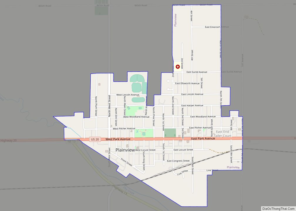
Plainview is a city in Pierce County, Nebraska, United States. It is part of the Norfolk, Nebraska Micropolitan Statistical Area. The population was 1,246 at the 2010 census. Plainview city overview: Name: Plainview city LSAD Code: 25 LSAD Description: city (suffix) State: Nebraska County: Pierce County Elevation: 1,683 ft (513 m) Total Area: 1.08 sq mi (2.80 km²) Land Area: ... Read more
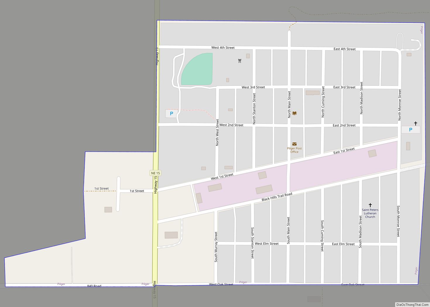
Pilger is a village in Stanton County, Nebraska, United States. As of the 2010 census, the population was 352. It is located approximately 85 miles northwest of Omaha. Pilger village overview: Name: Pilger village LSAD Code: 47 LSAD Description: village (suffix) State: Nebraska County: Stanton County Incorporated: 1887 Elevation: 1,407 ft (429 m) Total Area: 0.29 sq mi (0.76 km²) ... Read more
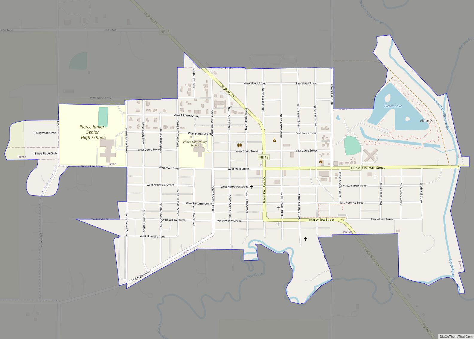
Pierce is a city in and county seat of Pierce County, Nebraska, United States. The population was 1,767 at the 2010 census. Pierce city overview: Name: Pierce city LSAD Code: 25 LSAD Description: city (suffix) State: Nebraska County: Pierce County Elevation: 1,581 ft (482 m) Total Area: 0.94 sq mi (2.43 km²) Land Area: 0.92 sq mi (2.37 km²) Water Area: 0.02 sq mi (0.06 km²) ... Read more
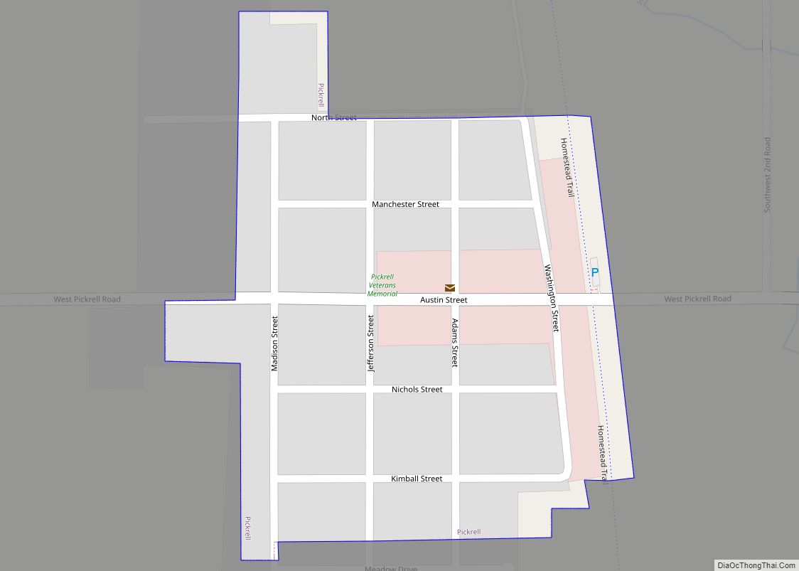
Pickrell is a village in Gage County, Nebraska, United States. As of the 2020 census, the village population was 186. Pickrell village overview: Name: Pickrell village LSAD Code: 47 LSAD Description: village (suffix) State: Nebraska County: Gage County Elevation: 1,371 ft (418 m) Total Area: 0.11 sq mi (0.28 km²) Land Area: 0.11 sq mi (0.28 km²) Water Area: 0.00 sq mi (0.00 km²) Total Population: ... Read more
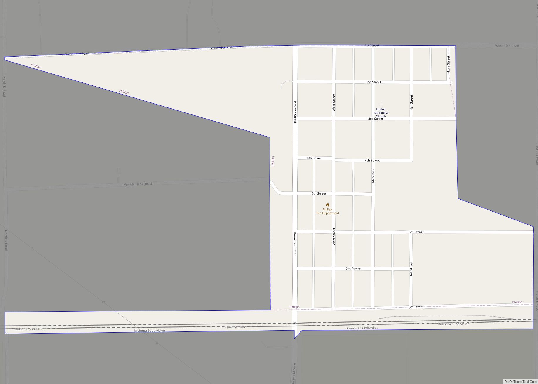
Phillips is a village in Hamilton County, Nebraska, United States. The population was 287 at the 2010 census. Phillips village overview: Name: Phillips village LSAD Code: 47 LSAD Description: village (suffix) State: Nebraska County: Hamilton County Elevation: 1,893 ft (577 m) Total Area: 0.29 sq mi (0.76 km²) Land Area: 0.29 sq mi (0.76 km²) Water Area: 0.00 sq mi (0.00 km²) Total Population: 320 Population ... Read more
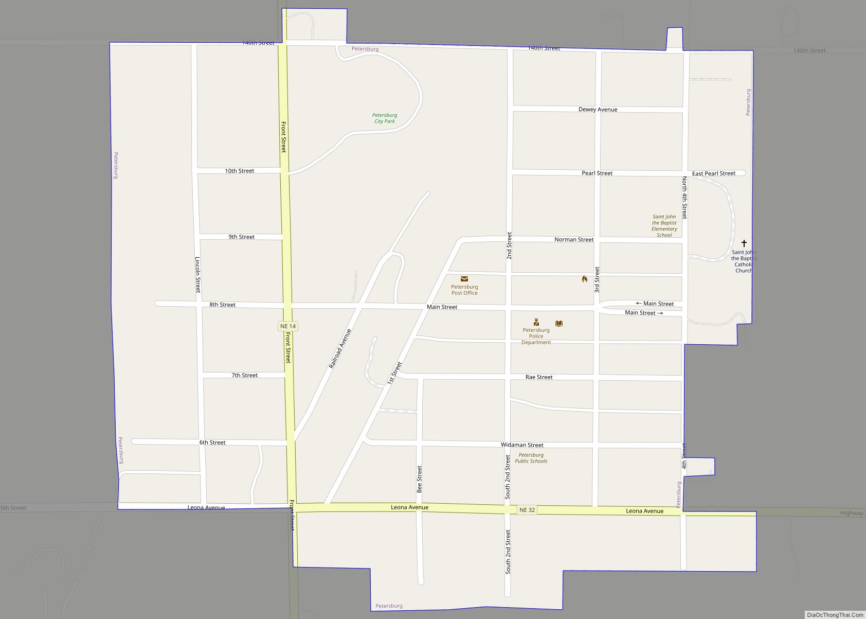
Petersburg is a village in Boone County, Nebraska, United States. The population was 333 at the 2010 census. Petersburg is the site of a memorial to Logan Fontenelle, an Omaha chief who was killed nearby, in a skirmish with Brulé and Arapaho in 1855, at the site of the present-day Olson Nature Preserve. Petersburg village ... Read more
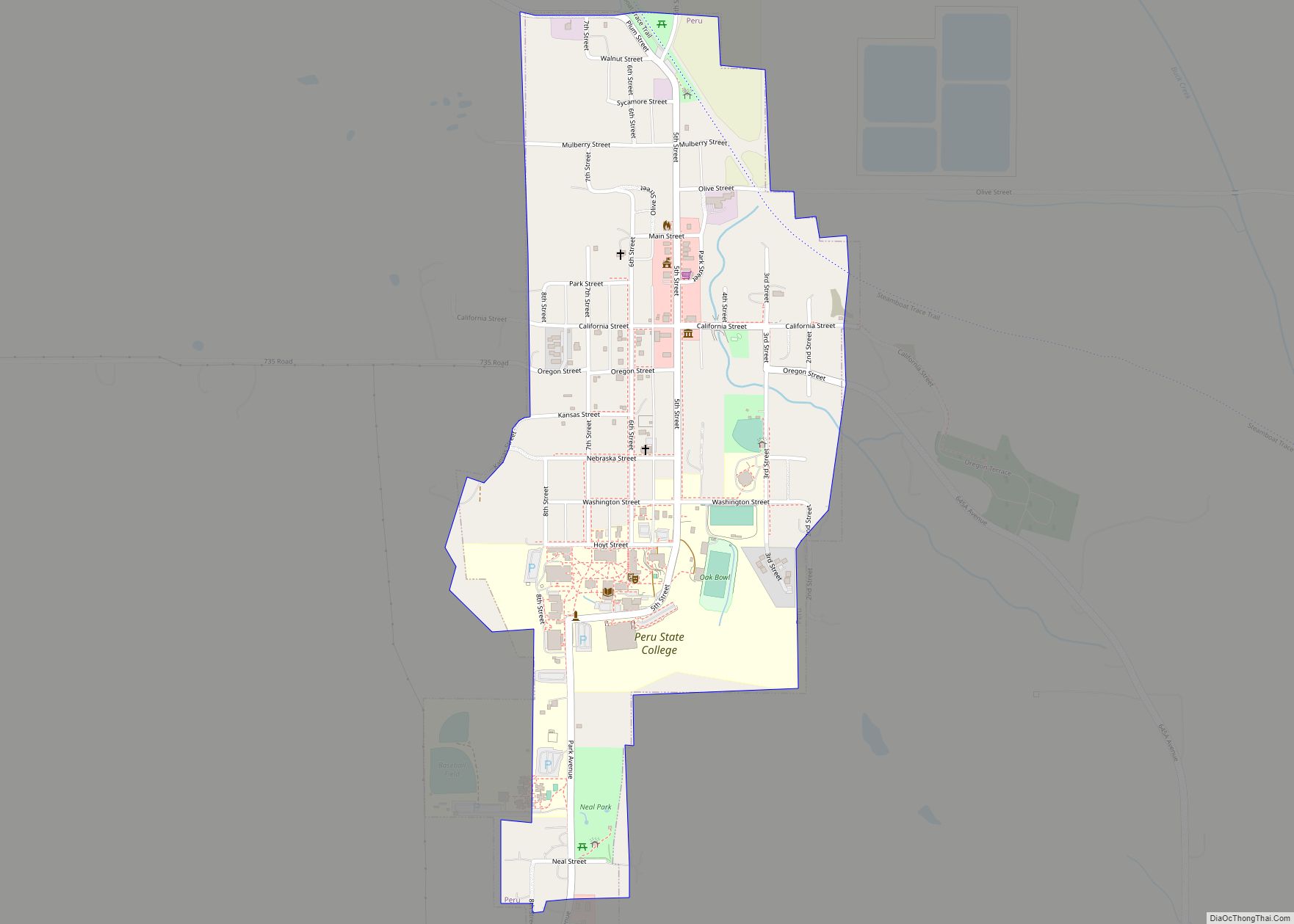
Peru is a city in Nemaha County, Nebraska, United States. The population was 648 at the 2020 census. Peru State College is located in Peru. Peru city overview: Name: Peru city LSAD Code: 25 LSAD Description: city (suffix) State: Nebraska County: Nemaha County Elevation: 1,027 ft (313 m) Total Area: 0.53 sq mi (1.36 km²) Land Area: 0.53 sq mi (1.36 km²) Water ... Read more
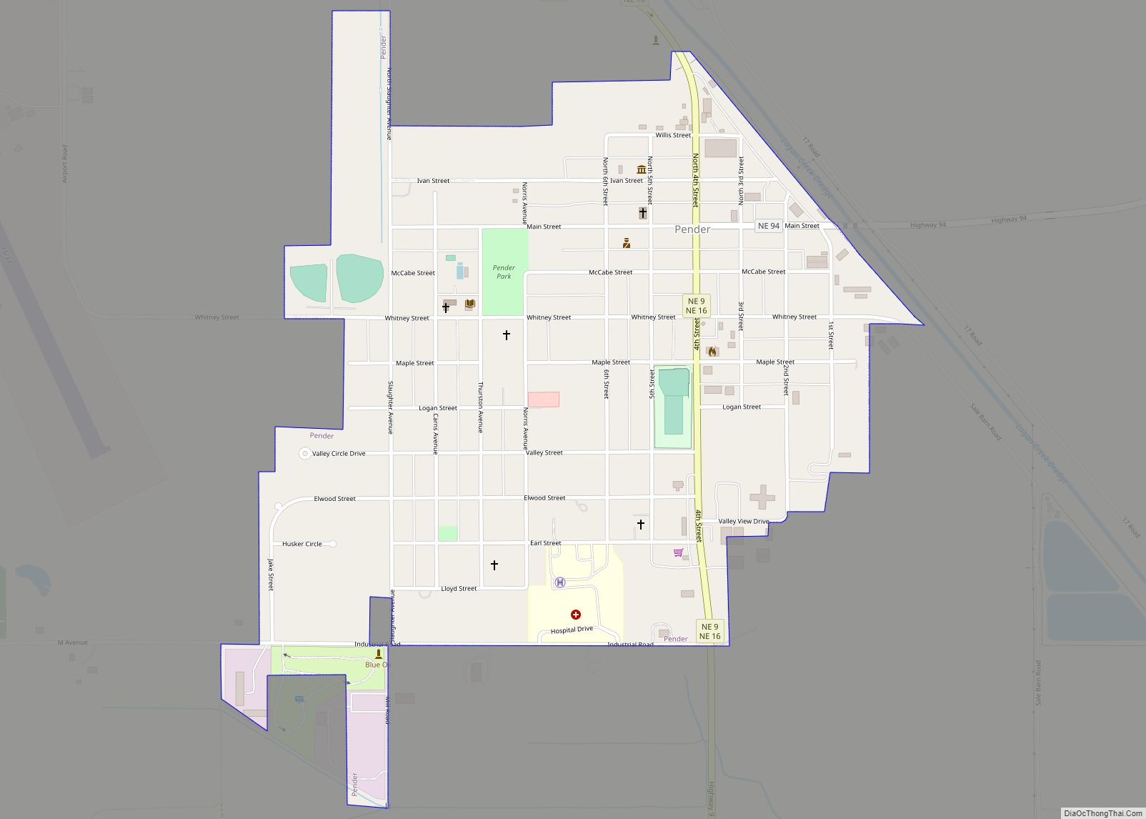
Pender is a village in Thurston County, Nebraska, United States. On March 22, 2016, the United States Supreme Court resolved a disagreement as to whether Pender is located on the Omaha Indian Reservation, holding unanimously that “the disputed land is within the reservation’s boundaries.” The predominantly European-American population was 1,115 at the 2020 census. The ... Read more
