Pierce is a city in and county seat of Pierce County, Nebraska, United States. The population was 1,767 at the 2010 census.
| Name: | Pierce city |
|---|---|
| LSAD Code: | 25 |
| LSAD Description: | city (suffix) |
| State: | Nebraska |
| County: | Pierce County |
| Elevation: | 1,581 ft (482 m) |
| Total Area: | 0.94 sq mi (2.43 km²) |
| Land Area: | 0.92 sq mi (2.37 km²) |
| Water Area: | 0.02 sq mi (0.06 km²) |
| Total Population: | 1,845 |
| Population Density: | 2,016.39/sq mi (778.28/km²) |
| ZIP code: | 68767 |
| Area code: | 402 |
| FIPS code: | 3139100 |
| GNISfeature ID: | 0832093 |
| Website: | piercenebraska.com |
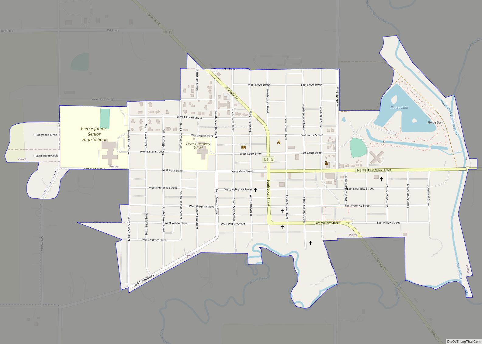
Online Interactive Map
Click on ![]() to view map in "full screen" mode.
to view map in "full screen" mode.
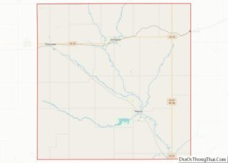
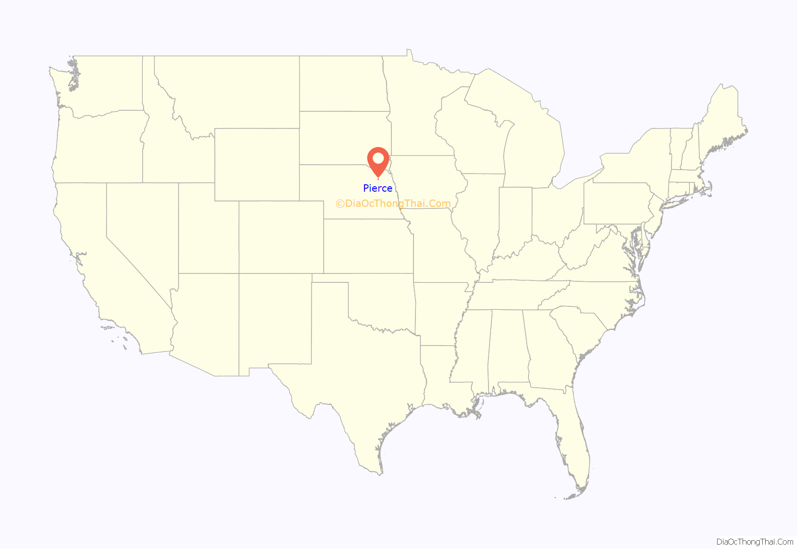
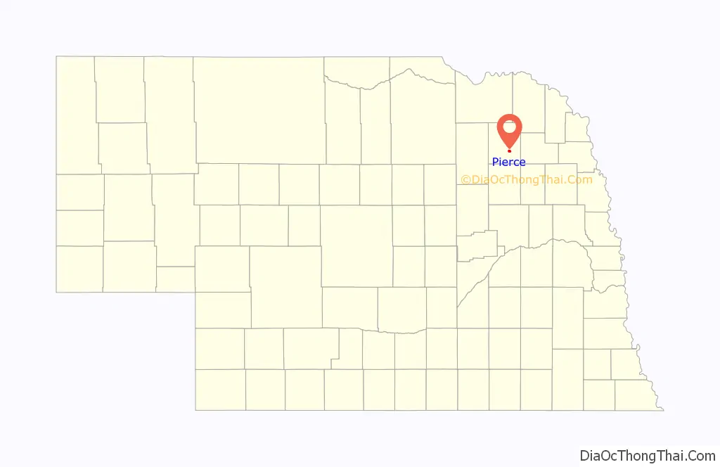
Pierce location map. Where is Pierce city?
History
Pierce was platted in 1871, and a courthouse was erected that same year. Like Pierce County, the name honors President Franklin Pierce.
The city became a point of international interest in 2013 due to the Lambrecht auto auction, at which nearly 500 classic cars were put up for sale.
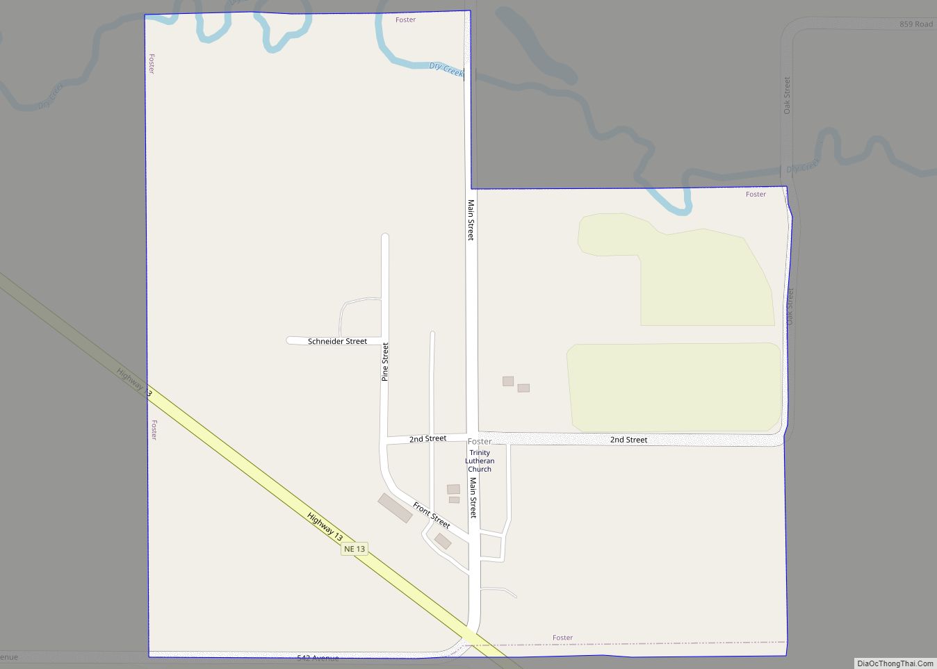
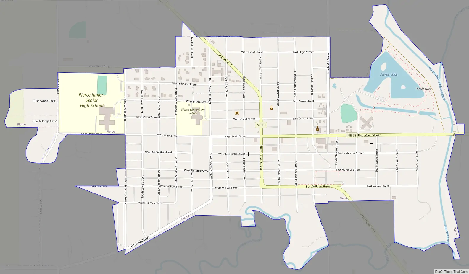
Pierce Road Map
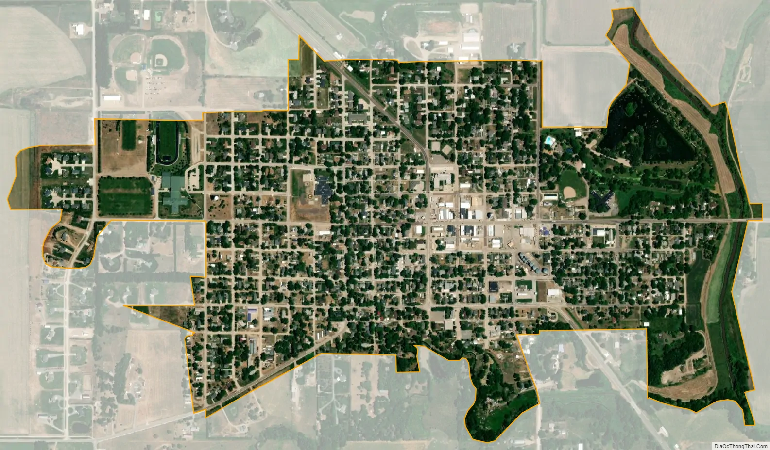
Pierce city Satellite Map
Geography
Pierce is located at 42°11′58″N 97°31′46″W / 42.19944°N 97.52944°W / 42.19944; -97.52944 (42.199477, -97.529321). According to the United States Census Bureau, the city has a total area of 0.93 square miles (2.41 km), of which, 0.91 square miles (2.36 km) is land and 0.02 square miles (0.05 km) is water.
See also
Map of Nebraska State and its subdivision:- Adams
- Antelope
- Arthur
- Banner
- Blaine
- Boone
- Box Butte
- Boyd
- Brown
- Buffalo
- Burt
- Butler
- Cass
- Cedar
- Chase
- Cherry
- Cheyenne
- Clay
- Colfax
- Cuming
- Custer
- Dakota
- Dawes
- Dawson
- Deuel
- Dixon
- Dodge
- Douglas
- Dundy
- Fillmore
- Franklin
- Frontier
- Furnas
- Gage
- Garden
- Garfield
- Gosper
- Grant
- Greeley
- Hall
- Hamilton
- Harlan
- Hayes
- Hitchcock
- Holt
- Hooker
- Howard
- Jefferson
- Johnson
- Kearney
- Keith
- Keya Paha
- Kimball
- Knox
- Lancaster
- Lincoln
- Logan
- Loup
- Madison
- McPherson
- Merrick
- Morrill
- Nance
- Nemaha
- Nuckolls
- Otoe
- Pawnee
- Perkins
- Phelps
- Pierce
- Platte
- Polk
- Red Willow
- Richardson
- Rock
- Saline
- Sarpy
- Saunders
- Scotts Bluff
- Seward
- Sheridan
- Sherman
- Sioux
- Stanton
- Thayer
- Thomas
- Thurston
- Valley
- Washington
- Wayne
- Webster
- Wheeler
- York
- Alabama
- Alaska
- Arizona
- Arkansas
- California
- Colorado
- Connecticut
- Delaware
- District of Columbia
- Florida
- Georgia
- Hawaii
- Idaho
- Illinois
- Indiana
- Iowa
- Kansas
- Kentucky
- Louisiana
- Maine
- Maryland
- Massachusetts
- Michigan
- Minnesota
- Mississippi
- Missouri
- Montana
- Nebraska
- Nevada
- New Hampshire
- New Jersey
- New Mexico
- New York
- North Carolina
- North Dakota
- Ohio
- Oklahoma
- Oregon
- Pennsylvania
- Rhode Island
- South Carolina
- South Dakota
- Tennessee
- Texas
- Utah
- Vermont
- Virginia
- Washington
- West Virginia
- Wisconsin
- Wyoming