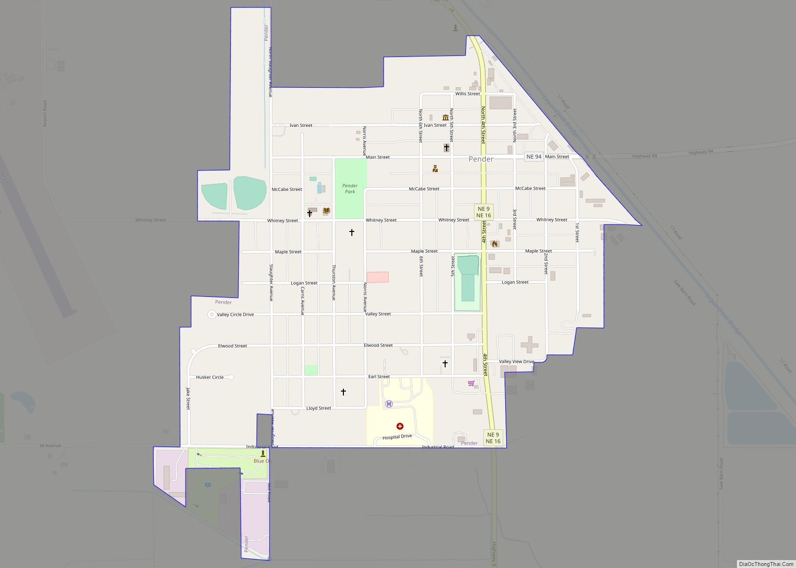
Pender is a village in Thurston County, Nebraska, United States. On March 22, 2016, the United States Supreme Court resolved a disagreement as to whether Pender is located on the Omaha Indian Reservation, holding unanimously that “the disputed land is within the reservation’s boundaries.” The predominantly European-American population was 1,115 at the 2020 census.
The village is the county seat of Thurston County. European-American settlers founded the village in April 1885, naming it in honor of the Scottish politician and businessman Sir John Pender, a pioneer of the Transatlantic Cable. He founded what is now Cable & Wireless Worldwide, and was a director of the Chicago, St. Paul, Minneapolis & Omaha Railway.
| Name: | Pender village |
|---|---|
| LSAD Code: | 47 |
| LSAD Description: | village (suffix) |
| State: | Nebraska |
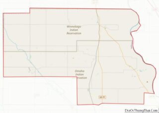
| County: | Thurston County |
| Elevation: | 1,342 ft (409 m) |
| Total Area: | 0.71 sq mi (1.83 km²) |
| Land Area: | 0.71 sq mi (1.83 km²) |
| Water Area: | 0.00 sq mi (0.00 km²) |
| Total Population: | 1,115 |
| Population Density: | 1,579.32/sq mi (609.61/km²) |
| ZIP code: | 68047 |
| Area code: | 402 |
| FIPS code: | 3138750 |
| GNISfeature ID: | 0832034 |
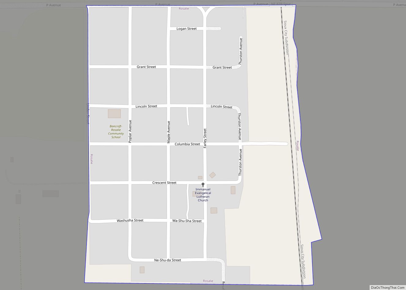
Online Interactive Map
Click on ![]() to view map in "full screen" mode.
to view map in "full screen" mode.
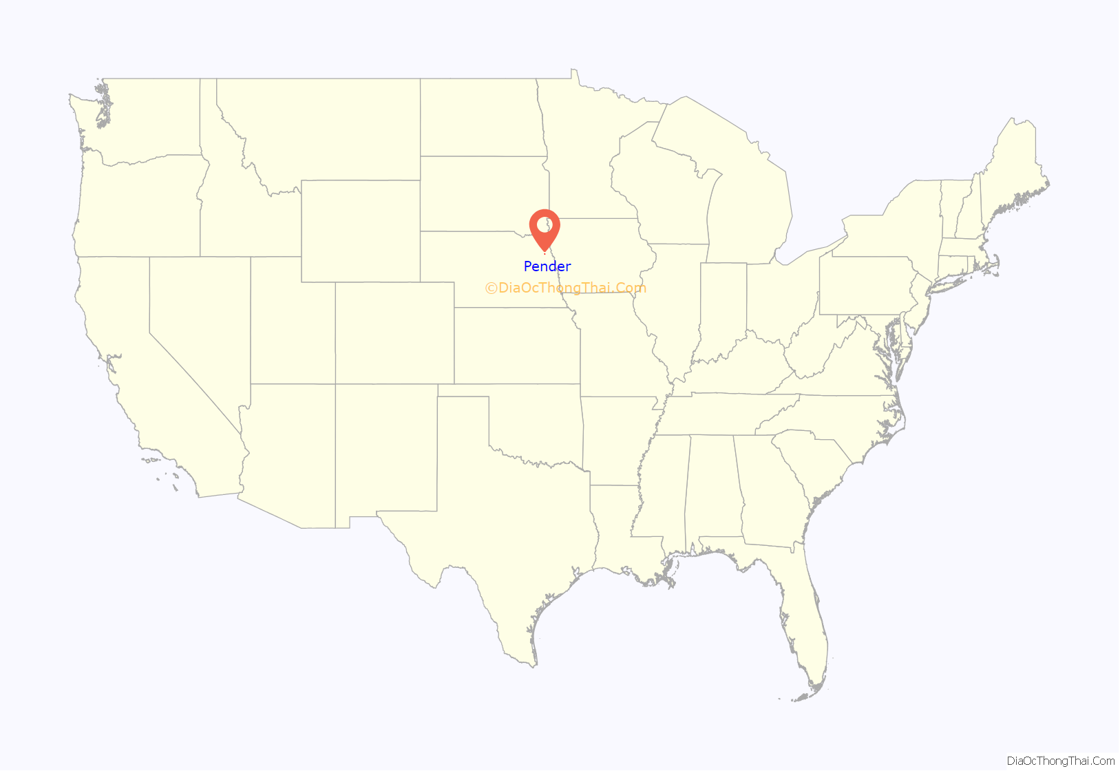
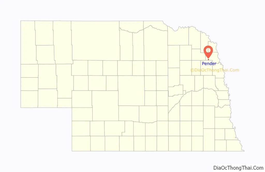
Pender location map. Where is Pender village?
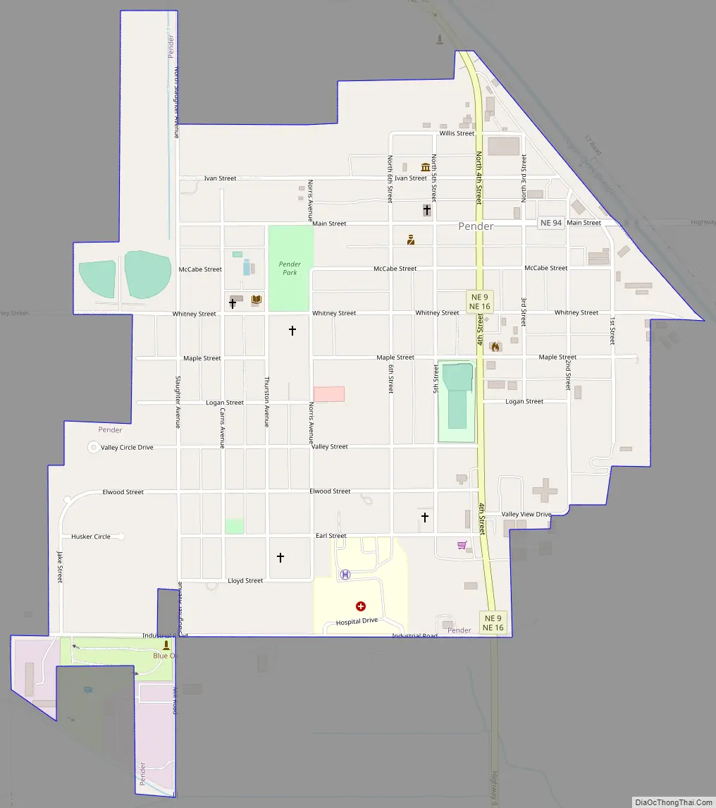
Pender Road Map
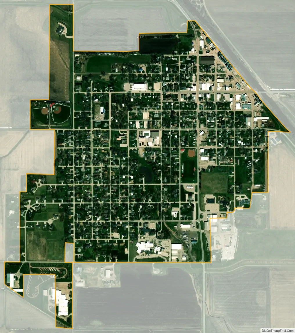
Pender city Satellite Map
Geography
Pender is located at 42°6′42″N 96°42′38″W / 42.11167°N 96.71056°W / 42.11167; -96.71056 (42.111563, -96.710612).
According to the United States Census Bureau, the village has a total area of 0.71 square miles (1.84 km), all land.
See also
Map of Nebraska State and its subdivision:- Adams
- Antelope
- Arthur
- Banner
- Blaine
- Boone
- Box Butte
- Boyd
- Brown
- Buffalo
- Burt
- Butler
- Cass
- Cedar
- Chase
- Cherry
- Cheyenne
- Clay
- Colfax
- Cuming
- Custer
- Dakota
- Dawes
- Dawson
- Deuel
- Dixon
- Dodge
- Douglas
- Dundy
- Fillmore
- Franklin
- Frontier
- Furnas
- Gage
- Garden
- Garfield
- Gosper
- Grant
- Greeley
- Hall
- Hamilton
- Harlan
- Hayes
- Hitchcock
- Holt
- Hooker
- Howard
- Jefferson
- Johnson
- Kearney
- Keith
- Keya Paha
- Kimball
- Knox
- Lancaster
- Lincoln
- Logan
- Loup
- Madison
- McPherson
- Merrick
- Morrill
- Nance
- Nemaha
- Nuckolls
- Otoe
- Pawnee
- Perkins
- Phelps
- Pierce
- Platte
- Polk
- Red Willow
- Richardson
- Rock
- Saline
- Sarpy
- Saunders
- Scotts Bluff
- Seward
- Sheridan
- Sherman
- Sioux
- Stanton
- Thayer
- Thomas
- Thurston
- Valley
- Washington
- Wayne
- Webster
- Wheeler
- York
- Alabama
- Alaska
- Arizona
- Arkansas
- California
- Colorado
- Connecticut
- Delaware
- District of Columbia
- Florida
- Georgia
- Hawaii
- Idaho
- Illinois
- Indiana
- Iowa
- Kansas
- Kentucky
- Louisiana
- Maine
- Maryland
- Massachusetts
- Michigan
- Minnesota
- Mississippi
- Missouri
- Montana
- Nebraska
- Nevada
- New Hampshire
- New Jersey
- New Mexico
- New York
- North Carolina
- North Dakota
- Ohio
- Oklahoma
- Oregon
- Pennsylvania
- Rhode Island
- South Carolina
- South Dakota
- Tennessee
- Texas
- Utah
- Vermont
- Virginia
- Washington
- West Virginia
- Wisconsin
- Wyoming