Bartlett is a village in, and the county seat of, Wheeler County, Nebraska, United States. The population was 117 at the 2010 census. Bartlett village overview: Name: Bartlett village LSAD Code: 47 LSAD Description: village (suffix) State: Nebraska County: Wheeler County Elevation: 2,175 ft (663 m) Total Area: 0.14 sq mi (0.37 km²) Land Area: 0.14 sq mi (0.37 km²) Water Area: 0.00 sq mi ... Read more
Nebraska Cities and Places
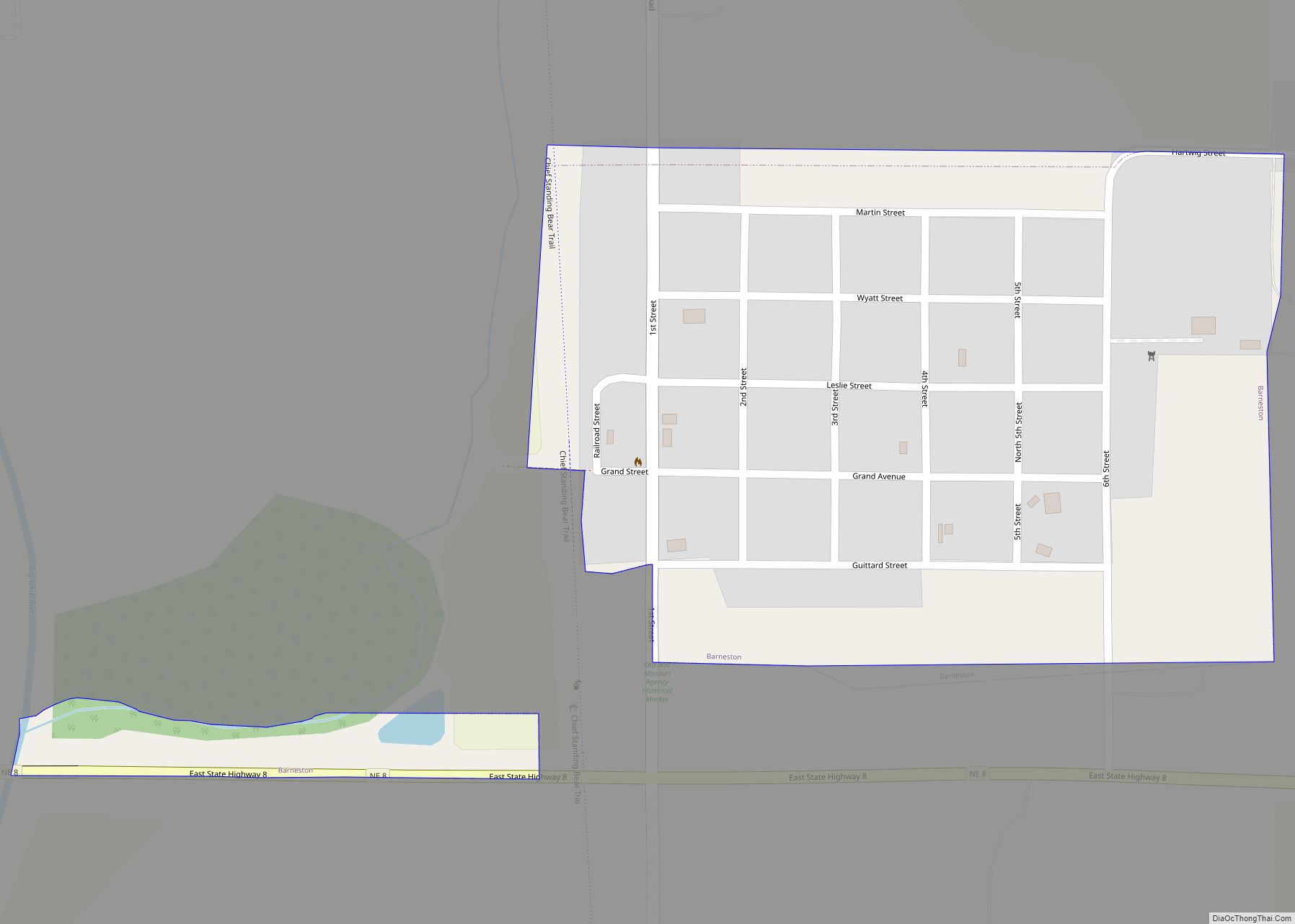
Barneston is a village in Gage County, Nebraska, United States. The population was 90 at the 2020 census. Barneston village overview: Name: Barneston village LSAD Code: 47 LSAD Description: village (suffix) State: Nebraska County: Gage County Elevation: 1,207 ft (368 m) Total Area: 0.24 sq mi (0.64 km²) Land Area: 0.24 sq mi (0.63 km²) Water Area: 0.00 sq mi (0.00 km²) Total Population: 90 Population ... Read more
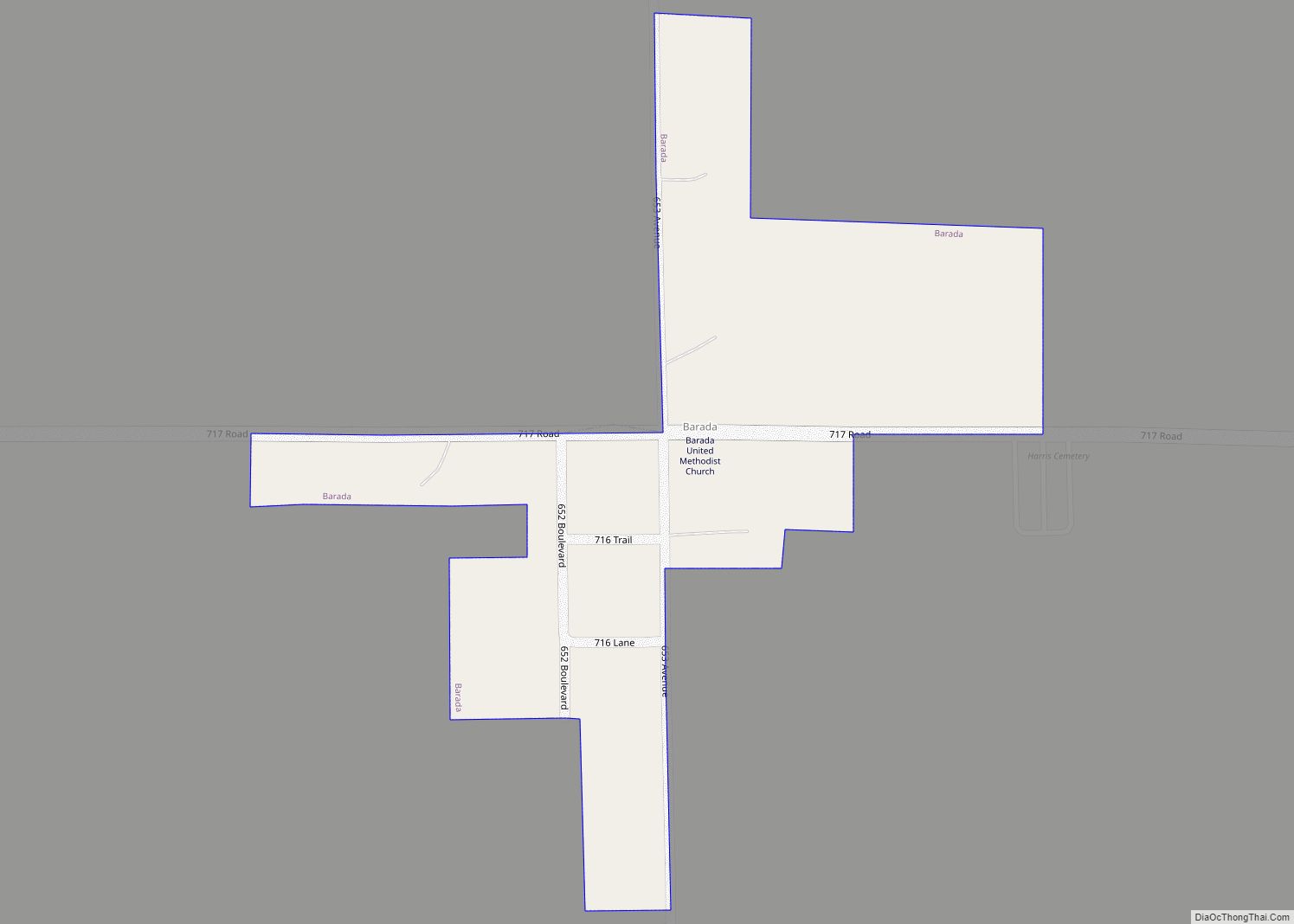
Barada (pronounced as Bear uh duh) is a village in northeast Richardson County, Nebraska, United States. The population was 20 at the 2020 census. Barada village overview: Name: Barada village LSAD Code: 47 LSAD Description: village (suffix) State: Nebraska County: Richardson County Elevation: 1,119 ft (341 m) Total Area: 0.09 sq mi (0.23 km²) Land Area: 0.09 sq mi (0.23 km²) Water Area: ... Read more
Bancroft is a village in Cuming County, Nebraska, United States. The population was 495 at the 2010 census. John Neihardt, who later became Nebraska’s poet laureate, lived in Bancroft for twenty years and wrote many of his works there. His study is preserved at the John G. Neihardt State Historic Site in the village. Bancroft ... Read more
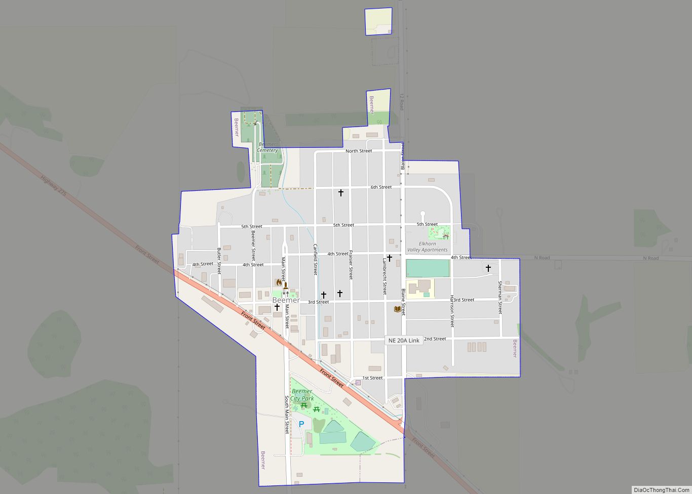
Beemer is a village in Cuming County, Nebraska, United States. The population was 678 at the 2010 census. Beemer village overview: Name: Beemer village LSAD Code: 47 LSAD Description: village (suffix) State: Nebraska County: Cuming County Elevation: 1,352 ft (412 m) Total Area: 0.42 sq mi (1.09 km²) Land Area: 0.42 sq mi (1.09 km²) Water Area: 0.00 sq mi (0.00 km²) Total Population: 611 Population ... Read more
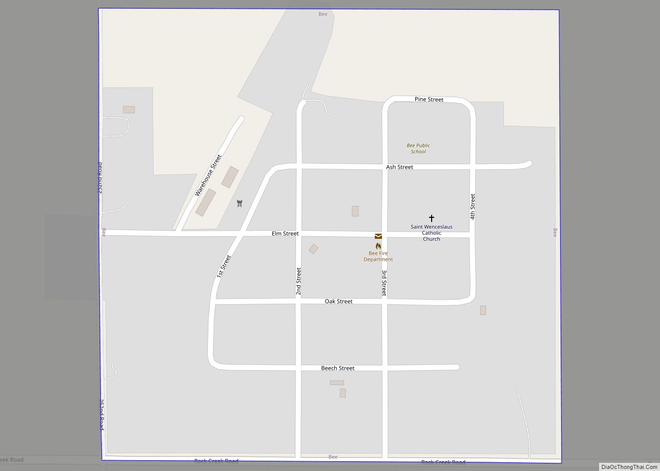
Bee is a village in Seward County, Nebraska, United States. It is part of the Lincoln, Nebraska Metropolitan Statistical Area. The population was 191 at the 2010 census. Bee village overview: Name: Bee village LSAD Code: 47 LSAD Description: village (suffix) State: Nebraska County: Seward County Elevation: 1,558 ft (475 m) Total Area: 0.25 sq mi (0.65 km²) Land Area: ... Read more
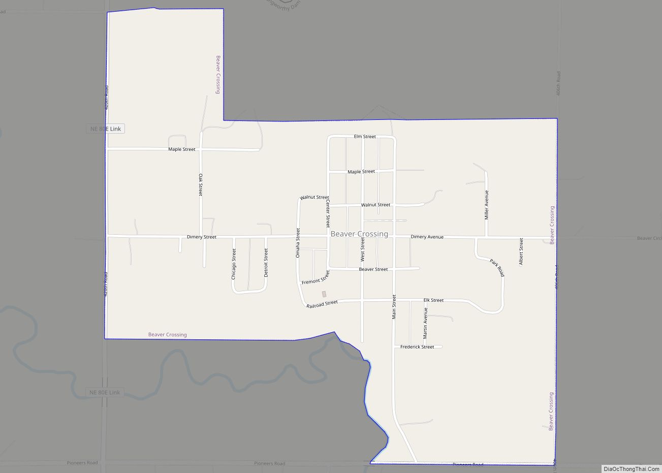
Beaver Crossing is a village in Seward County, Nebraska, United States. The population was 403 at the 2010 census. Beaver Crossing village overview: Name: Beaver Crossing village LSAD Code: 47 LSAD Description: village (suffix) State: Nebraska County: Seward County Elevation: 1,467 ft (447 m) Total Area: 0.66 sq mi (1.71 km²) Land Area: 0.66 sq mi (1.70 km²) Water Area: 0.01 sq mi (0.02 km²) Total ... Read more
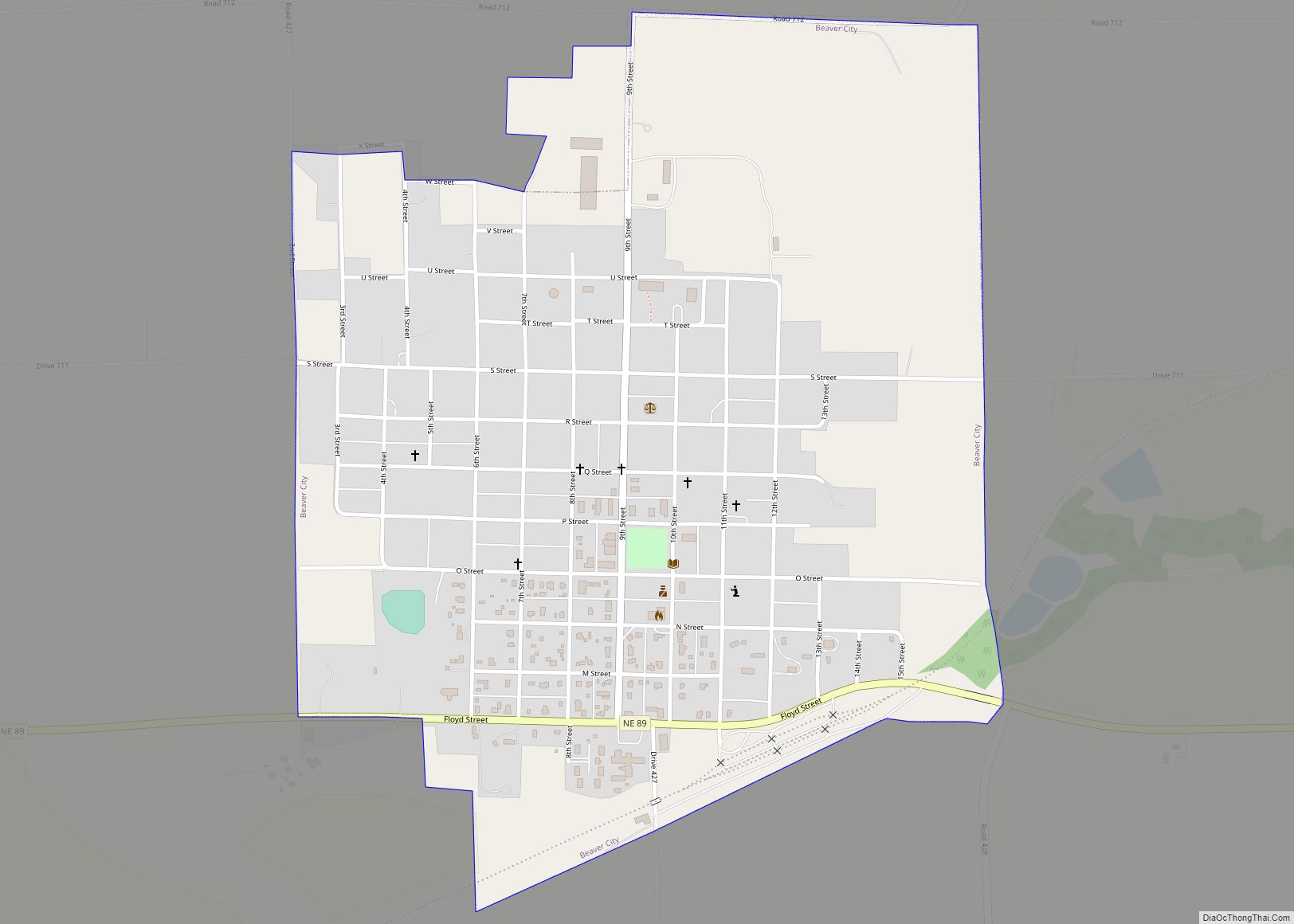
Beaver City is a city in Furnas County, on the southern border of Nebraska, United States. The population was 609 at the 2010 census. It is the county seat of Furnas County. Beaver City city overview: Name: Beaver City city LSAD Code: 25 LSAD Description: city (suffix) State: Nebraska County: Furnas County Elevation: 2,178 ft (664 m) ... Read more
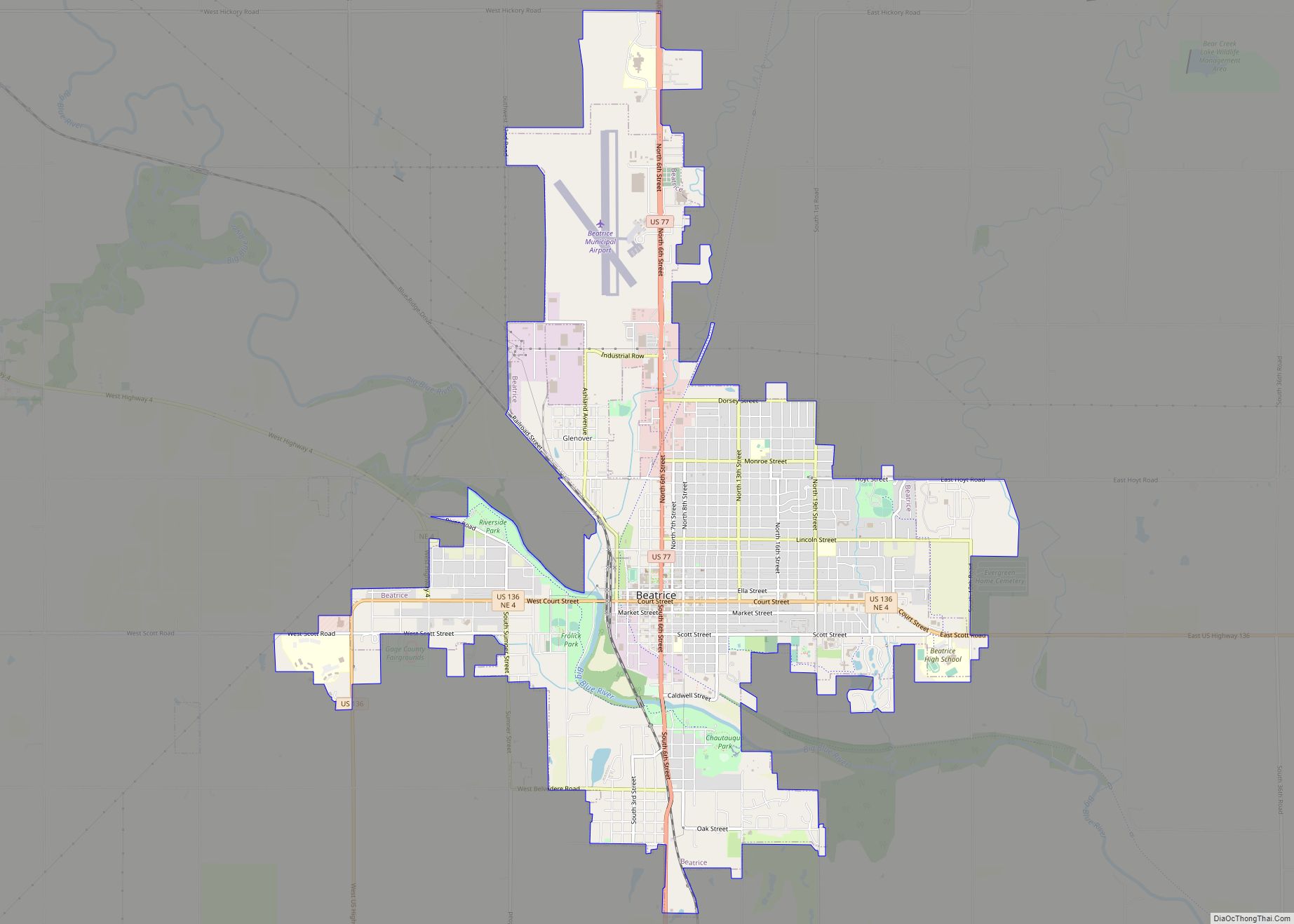
Beatrice (/biˈætrɪs/) is a city in and the county seat of Gage County, Nebraska, United States. Its population was 12,261 at the 2020 census. Beatrice is located approximately 25 miles south of Lincoln on the Big Blue River. Beatrice city overview: Name: Beatrice city LSAD Code: 25 LSAD Description: city (suffix) State: Nebraska County: Gage ... Read more
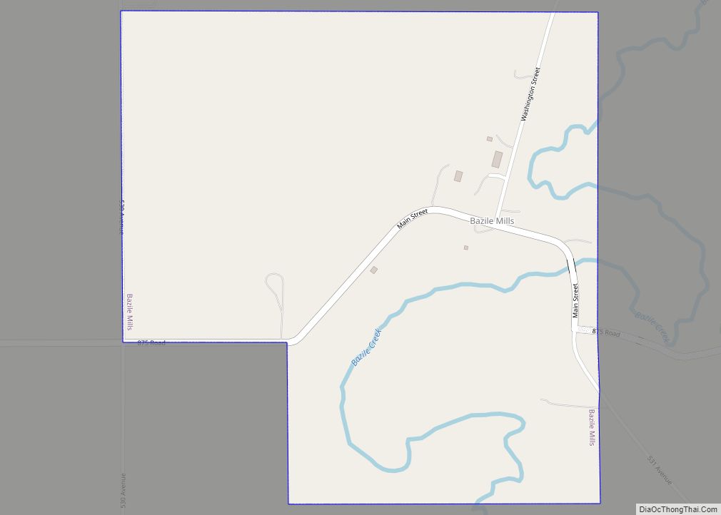
Bazile Mills is a village in Knox County, Nebraska, United States. The population was 24 at the 2020 census. Bazile Mills village overview: Name: Bazile Mills village LSAD Code: 47 LSAD Description: village (suffix) State: Nebraska County: Knox County Elevation: 1,575 ft (480 m) Total Area: 0.49 sq mi (1.27 km²) Land Area: 0.49 sq mi (1.27 km²) Water Area: 0.00 sq mi (0.00 km²) Total ... Read more
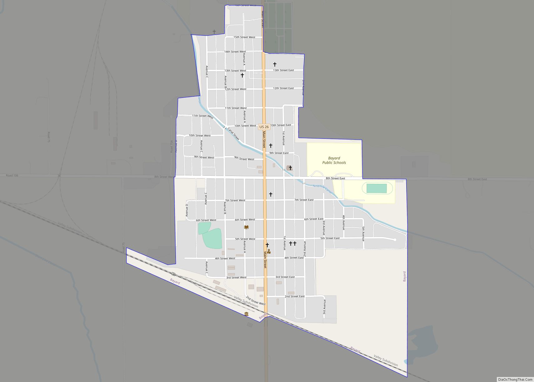
Bayard is a city in Morrill County, Nebraska, United States. The population was 1,209 at the 2010 census. Bayard city overview: Name: Bayard city LSAD Code: 25 LSAD Description: city (suffix) State: Nebraska County: Morrill County Elevation: 3,757 ft (1,145 m) Total Area: 0.69 sq mi (1.80 km²) Land Area: 0.69 sq mi (1.80 km²) Water Area: 0.00 sq mi (0.00 km²) Total Population: 1,140 Population ... Read more
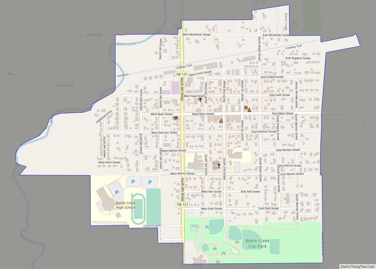
Battle Creek is a city in Madison County, Nebraska, United States. It is part of the Norfolk, Nebraska Micropolitan Statistical Area. The population was 1,207 at the 2010 census. Battle Creek city overview: Name: Battle Creek city LSAD Code: 25 LSAD Description: city (suffix) State: Nebraska County: Madison County Elevation: 1,588 ft (484 m) Total Area: 0.71 sq mi ... Read more

