Beatrice (/biˈætrɪs/) is a city in and the county seat of Gage County, Nebraska, United States. Its population was 12,261 at the 2020 census. Beatrice is located approximately 25 miles south of Lincoln on the Big Blue River.
| Name: | Beatrice city |
|---|---|
| LSAD Code: | 25 |
| LSAD Description: | city (suffix) |
| State: | Nebraska |
| County: | Gage County |
| Elevation: | 1,312 ft (400 m) |
| Total Area: | 9.56 sq mi (24.76 km²) |
| Land Area: | 9.48 sq mi (24.55 km²) |
| Water Area: | 0.08 sq mi (0.22 km²) |
| Total Population: | 12,261 |
| Population Density: | 1,293.76/sq mi (499.51/km²) |
| ZIP code: | 68310 |
| Area code: | 402 |
| FIPS code: | 3103390 |
| GNISfeature ID: | 0837869 |
| Website: | beatrice.ne.gov |
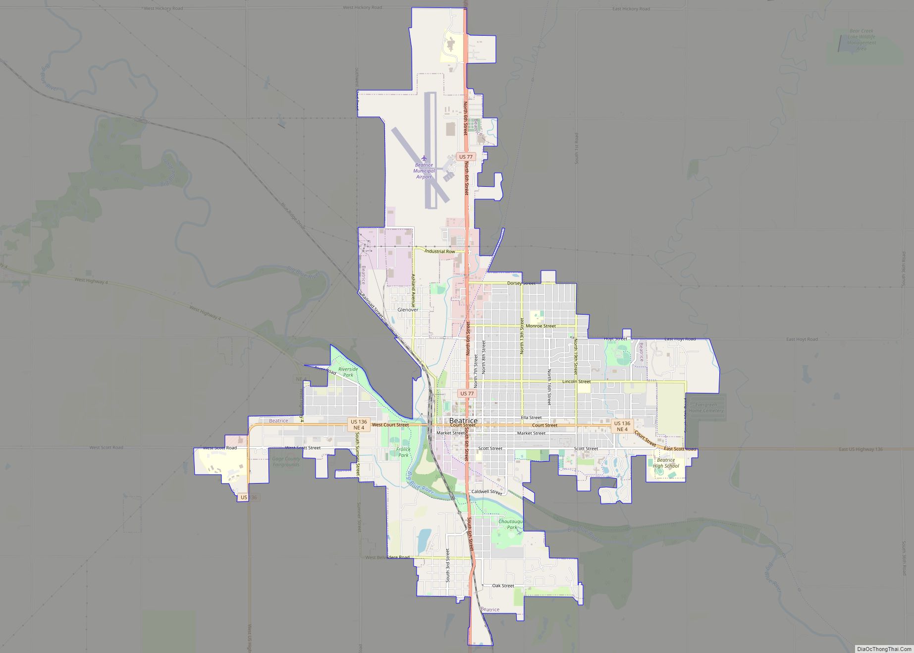
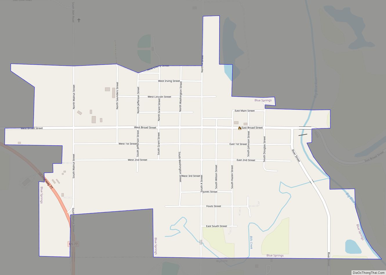
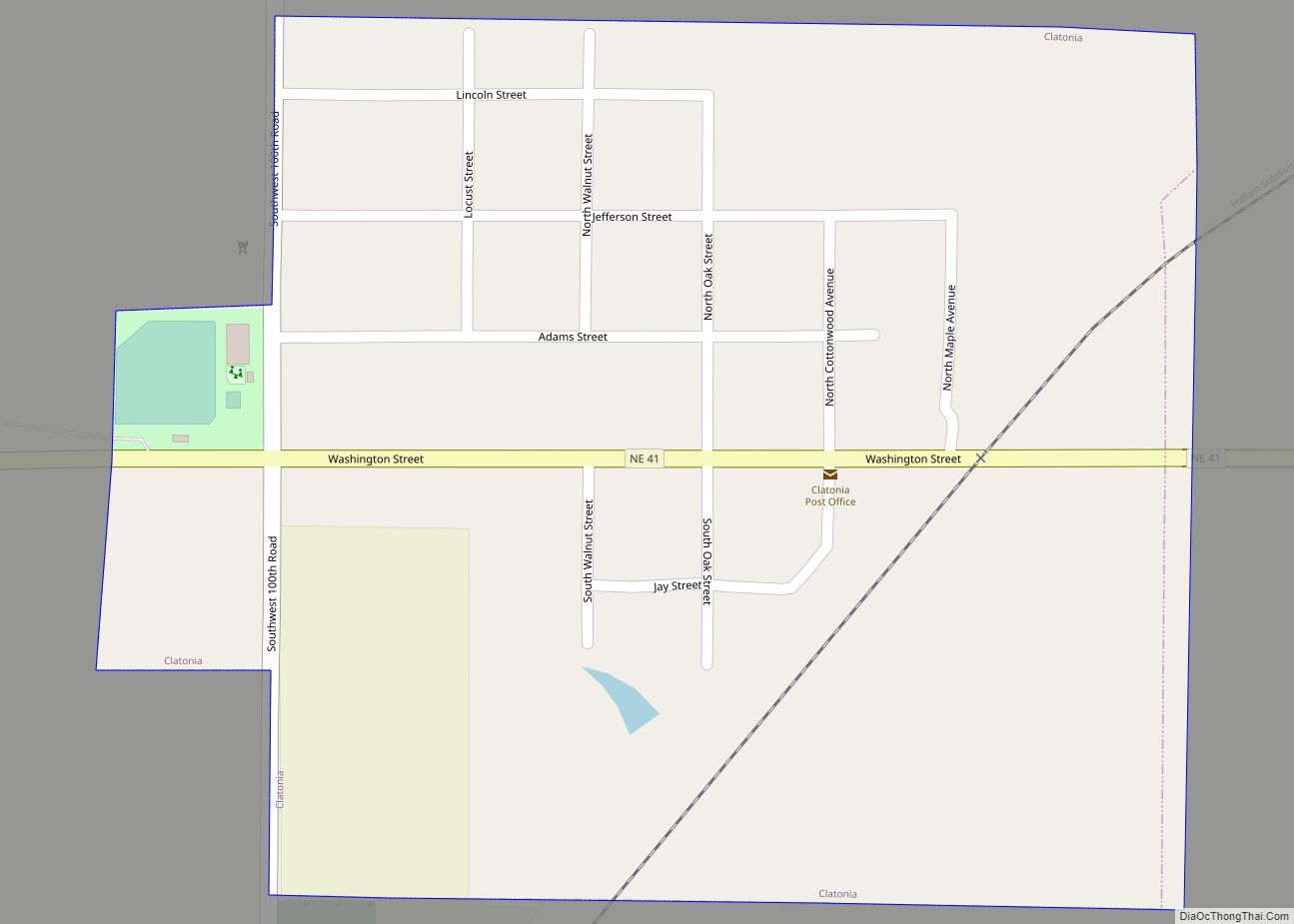
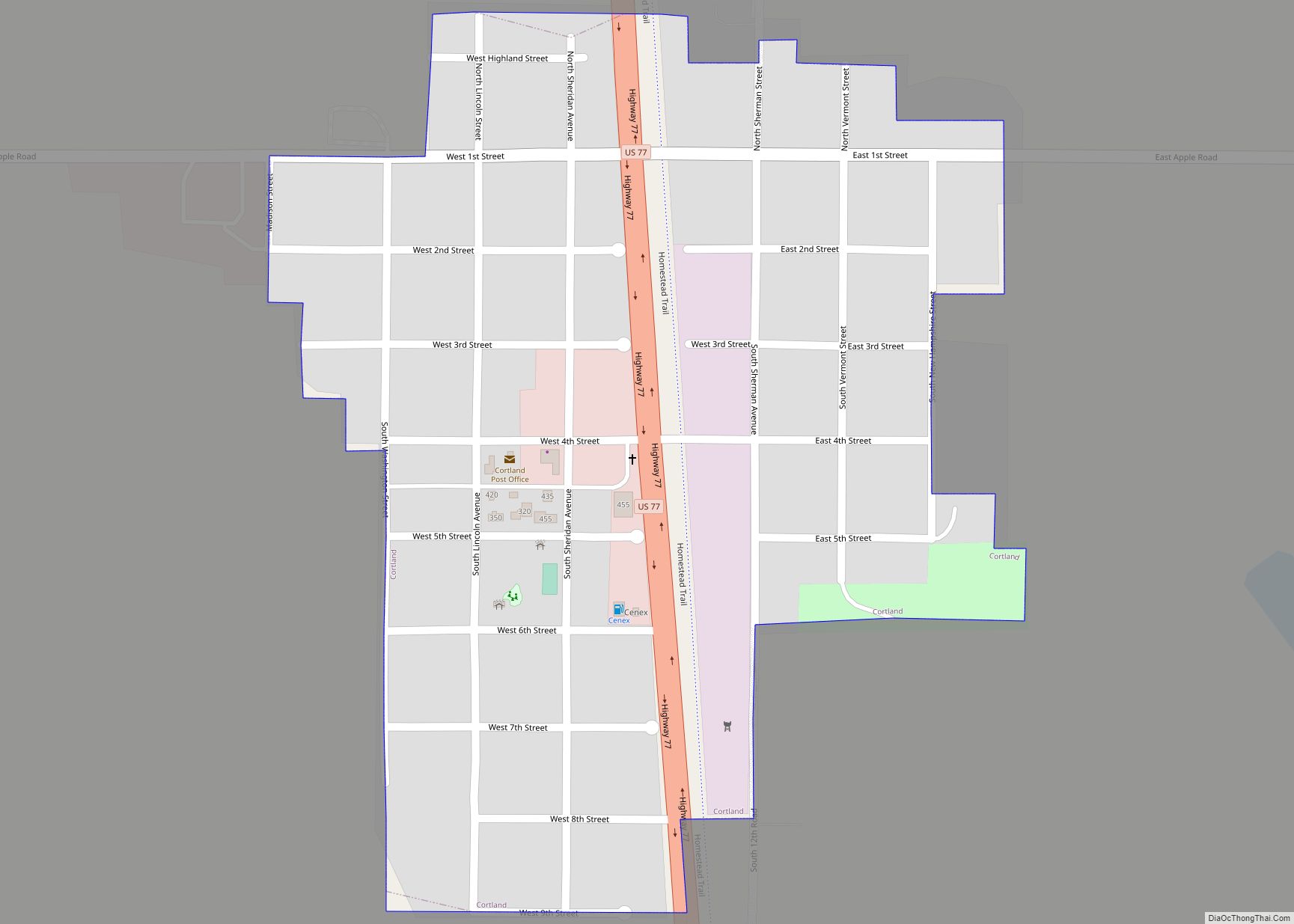
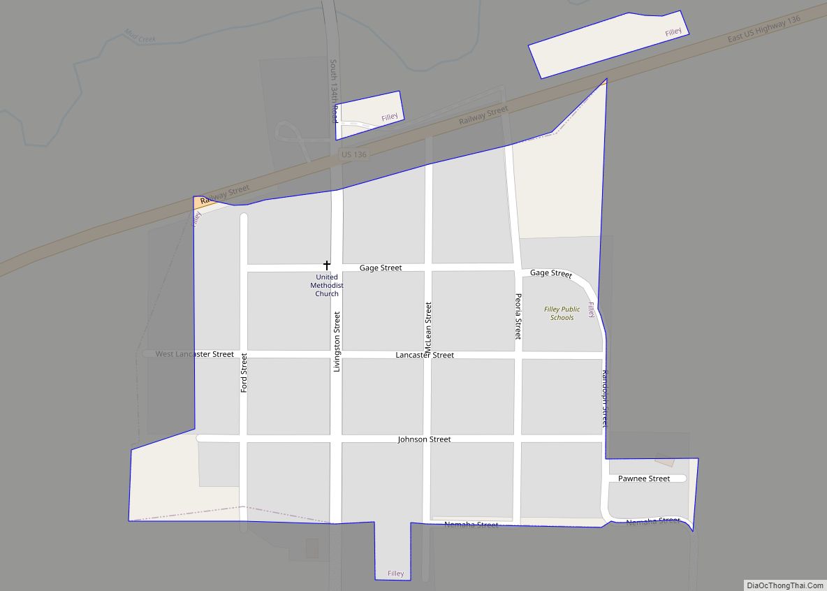
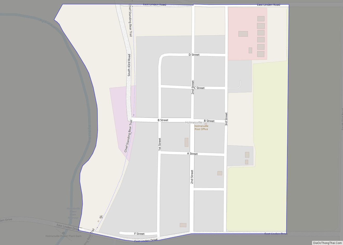
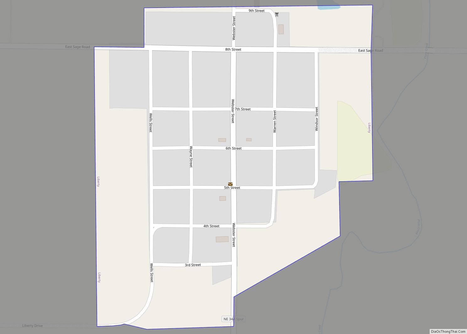
Online Interactive Map
Click on ![]() to view map in "full screen" mode.
to view map in "full screen" mode.
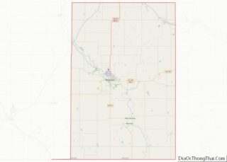
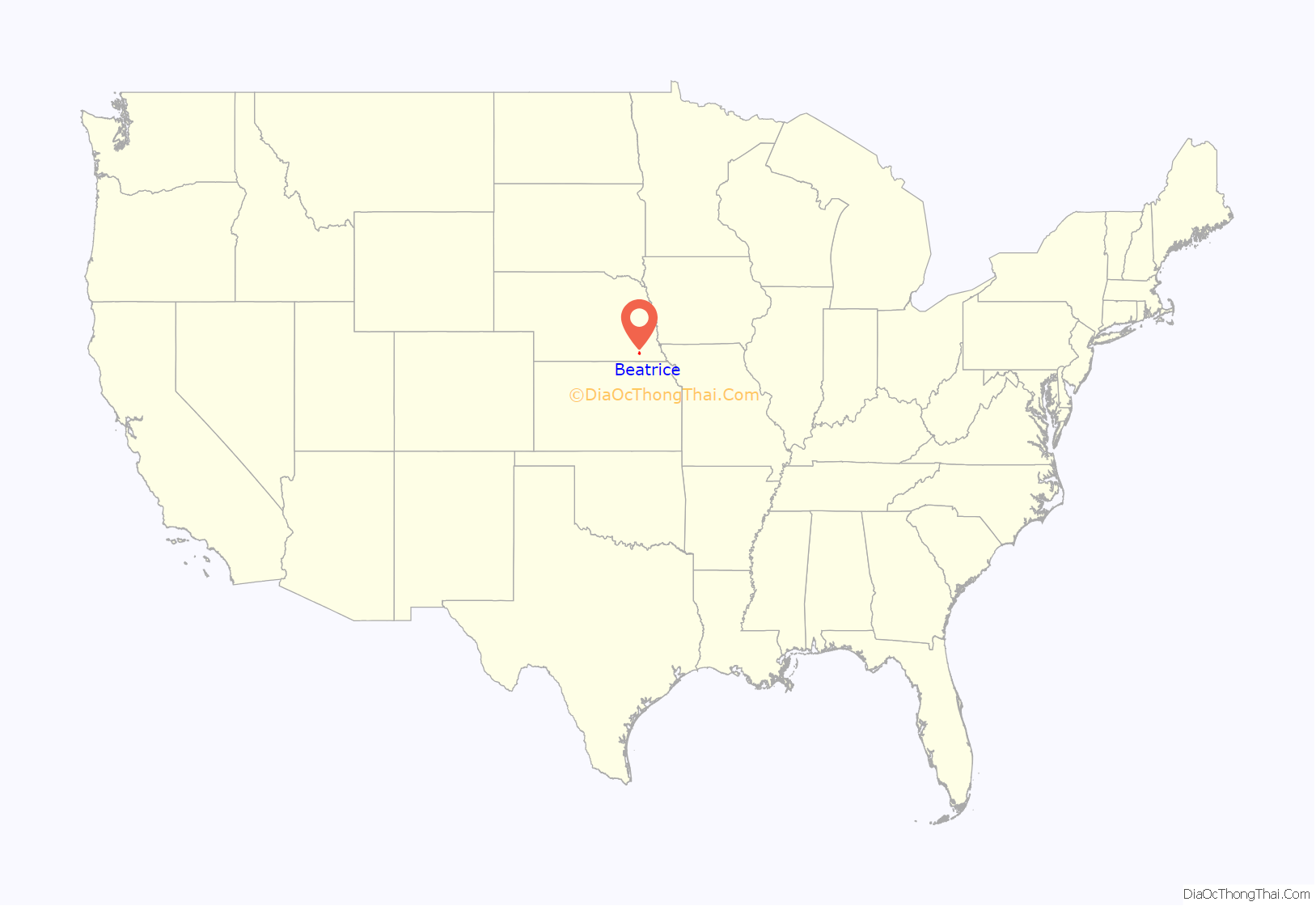
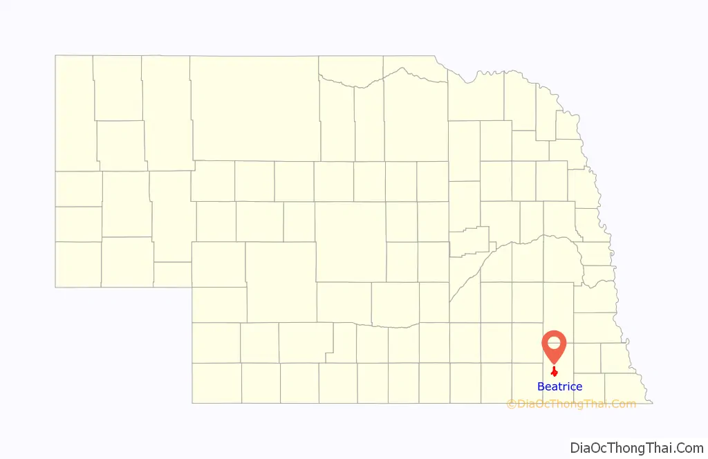
Beatrice location map. Where is Beatrice city?
History
Gage County was one of the 19 counties originally established by the Nebraska Territorial Legislature in 1854. At the time of its establishment, there were no settlers living within its boundaries.
In 1857, the steamboat Hannibal, carrying 300 passengers up the Missouri River from St. Louis, Missouri to Nebraska City, Nebraska, ran aground near Kansas City, Missouri. While it was stranded, 35 of the passengers agreed to form the “Nebraska Association”, under which name they would unite in seeking a townsite and establishing a settlement in the territory.
After reaching Nebraska City, the Association divided itself into two exploratory parties, one of which went directly westward and the other southwest. The latter party located the site of Beatrice, at the point where the DeRoin Trail crossed the Big Blue River, and the whole Association decided to settle there. The settlement was named after Julia Beatrice Kinney, the 17-year-old daughter of Judge John F. Kinney, a member of the Association.
The Territorial Legislature selected Beatrice as the county seat of Gage County in 1857. The decision was challenged by Blue Springs, but was confirmed by the Legislature in 1859. In 1864, the Legislature dissolved the original Clay County (not the current Clay County, Nebraska), dividing its land between Gage and Lancaster Counties. The addition of this ground in the north placed Beatrice near the center of the enlarged county, strengthening its claim to the county seat. It continues to hold that position today.
Homestead Act
In 1862, the U.S. Congress passed the Homestead Act, which allowed settlers to claim 160 acres (65 ha) of government land for a nominal fee. The law went into effect on January 1, 1863. Just after midnight on that day, Daniel Freeman persuaded a clerk to open the local Land Office so that he could file a claim for a homestead located 4 miles (6 km) west of Beatrice. His is regarded as the first of the 417 applications filed that day.
In 1936, Congress created Homestead National Monument of America on the site of Freeman’s claim.
Early development
The Big Blue River was both a help and a hindrance to the development of Beatrice. It provided the town with a water source, and produced ample power to operate the mills that were among the town’s first industries. However, it represented a major obstacle to travelers on the Oregon Trail route; and floods frequently destroyed the dams and bridges in the area. Not until 1890 was a Big Blue bridge built in Beatrice that could survive for decades.
In 1871, the Burlington and Missouri River Railroad constructed a line from Lincoln, Nebraska to Beatrice. In 1879, the Union Pacific Railroad built a line joining Beatrice to Marysville, Kansas. By 1890, the Chicago, Rock Island and Pacific Railroad had also run tracks through Beatrice.
On August 3, 1892, future president William McKinley, then governor of Ohio, gave a campaign speech in Beatrice.
The former international foods conglomerate, Beatrice Foods, (now a part of ConAgra Foods) was founded in Beatrice in 1894 as The Beatrice Creamery Company, by George Everett Haskell and William W. Bosworth.
Beatrice State Developmental Center
In 1885, the Nebraska legislature enacted legislation to establish the Institution for Feeble Minded Youth near Beatrice, subject to the city’s donating a suitable parcel of land. Beatrice donated 40 acres, located 2 miles (3 km) east of the city limits, and the first residents were admitted in 1887.
Over the following decades, the institution expanded greatly. By 1935, there were 1171 residents living on 519 acres (210 ha). The institution was largely self-supporting, operating a farm on which the residents did much of the work; in 1935, 346 acres (140 ha) were under cultivation.
In 1945, the institution was renamed the Beatrice State Home. Its resident population peaked at about 2300 in the late 1960s. From there it declined: new restrictions had been imposed on the use of unpaid labor by residents of institutions, and there was a national trend toward deinstitutionalization. In 1975, the Horacek v. Exon lawsuit was settled with a consent decree whereunder many of the residents of the Beatrice State Home were transferred to community-based mental health facilities. In that year, the institution’s name was changed to the current Beatrice State Developmental Center.
A 2006 investigation by the federal Centers for Medicare and Medicaid Services revealed a number of severe deficiencies at the Center; after two years of appeals, the Center lost its Medicaid certification in 2009.
As of 2011, the Center served about 175 clients. The majority had been diagnosed with “severe” or “profound” retardation; nearly all suffered from two or more other disabling conditions.
On June 11, 2022 five separate tornadoes touched down here according to the radar as well as local officials.
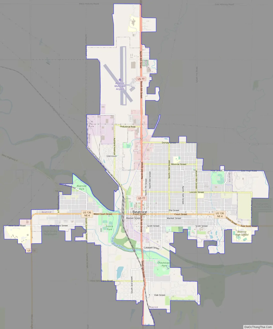
Beatrice Road Map
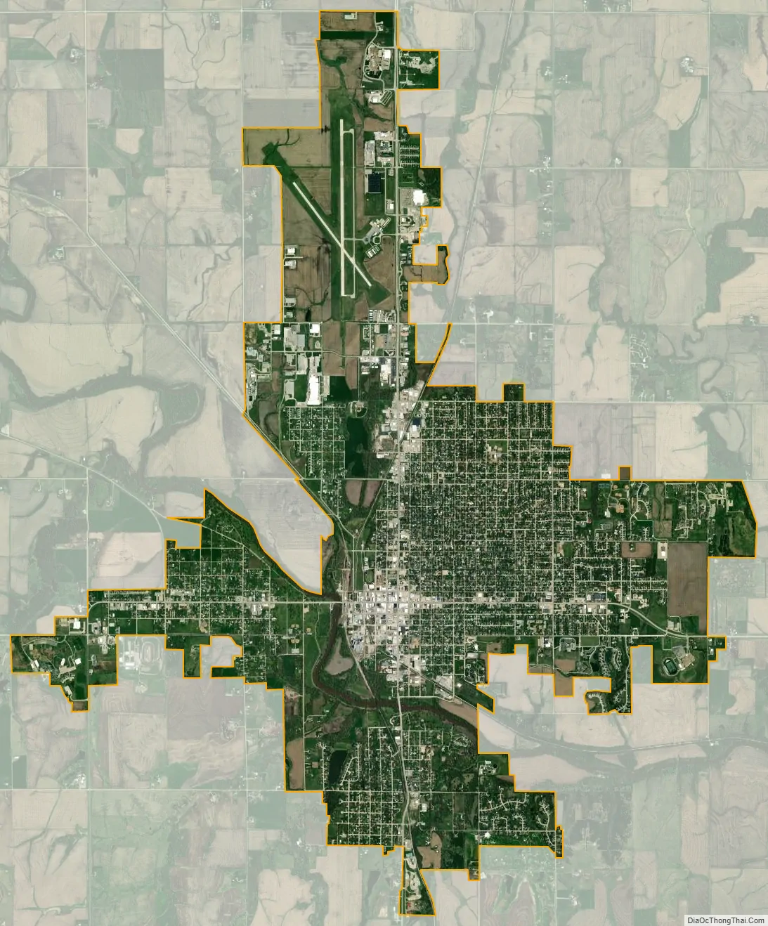
Beatrice city Satellite Map
Geography
Beatrice is located at 40°16′6″N 96°44′35″W / 40.26833°N 96.74306°W / 40.26833; -96.74306 (40.268449, -96.743192). According to the United States Census Bureau, the city has a total area of 9.11 square miles (23.59 km), of which 9.02 square miles (23.36 km) is land and 0.09 square miles (0.23 km) is water.
See also
Map of Nebraska State and its subdivision:- Adams
- Antelope
- Arthur
- Banner
- Blaine
- Boone
- Box Butte
- Boyd
- Brown
- Buffalo
- Burt
- Butler
- Cass
- Cedar
- Chase
- Cherry
- Cheyenne
- Clay
- Colfax
- Cuming
- Custer
- Dakota
- Dawes
- Dawson
- Deuel
- Dixon
- Dodge
- Douglas
- Dundy
- Fillmore
- Franklin
- Frontier
- Furnas
- Gage
- Garden
- Garfield
- Gosper
- Grant
- Greeley
- Hall
- Hamilton
- Harlan
- Hayes
- Hitchcock
- Holt
- Hooker
- Howard
- Jefferson
- Johnson
- Kearney
- Keith
- Keya Paha
- Kimball
- Knox
- Lancaster
- Lincoln
- Logan
- Loup
- Madison
- McPherson
- Merrick
- Morrill
- Nance
- Nemaha
- Nuckolls
- Otoe
- Pawnee
- Perkins
- Phelps
- Pierce
- Platte
- Polk
- Red Willow
- Richardson
- Rock
- Saline
- Sarpy
- Saunders
- Scotts Bluff
- Seward
- Sheridan
- Sherman
- Sioux
- Stanton
- Thayer
- Thomas
- Thurston
- Valley
- Washington
- Wayne
- Webster
- Wheeler
- York
- Alabama
- Alaska
- Arizona
- Arkansas
- California
- Colorado
- Connecticut
- Delaware
- District of Columbia
- Florida
- Georgia
- Hawaii
- Idaho
- Illinois
- Indiana
- Iowa
- Kansas
- Kentucky
- Louisiana
- Maine
- Maryland
- Massachusetts
- Michigan
- Minnesota
- Mississippi
- Missouri
- Montana
- Nebraska
- Nevada
- New Hampshire
- New Jersey
- New Mexico
- New York
- North Carolina
- North Dakota
- Ohio
- Oklahoma
- Oregon
- Pennsylvania
- Rhode Island
- South Carolina
- South Dakota
- Tennessee
- Texas
- Utah
- Vermont
- Virginia
- Washington
- West Virginia
- Wisconsin
- Wyoming