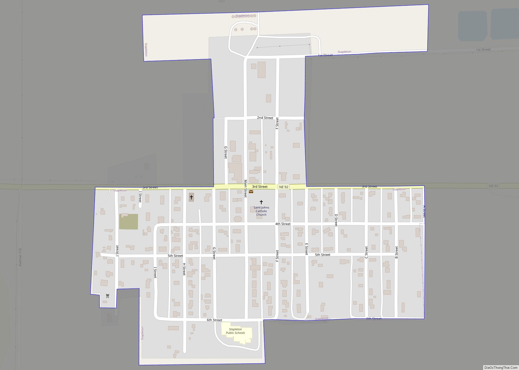
Stapleton is a village in and the county seat of Logan County, Nebraska, United States. The population was 267 at the 2020 census. Stapleton is part of the North Platte, Nebraska Micropolitan Statistical Area. Stapleton village overview: Name: Stapleton village LSAD Code: 47 LSAD Description: village (suffix) State: Nebraska County: Logan County Elevation: 2,904 ft (885 m) ... Read more
Nebraska Cities and Places
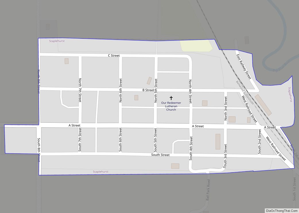
Staplehurst is a village in Seward County, Nebraska, United States. It is part of the Lincoln, Nebraska Metropolitan Statistical Area. The population was 242 at the 2010 census. Staplehurst village overview: Name: Staplehurst village LSAD Code: 47 LSAD Description: village (suffix) State: Nebraska County: Seward County Elevation: 1,486 ft (453 m) Total Area: 0.13 sq mi (0.32 km²) Land Area: ... Read more
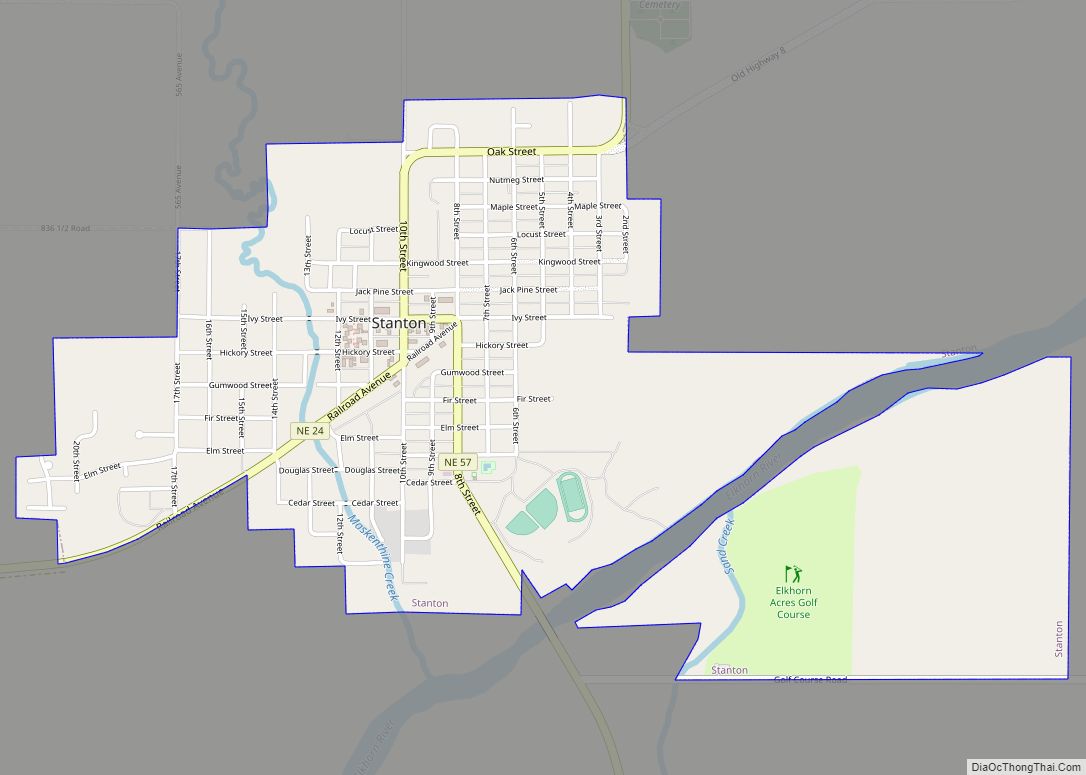
Stanton is a city in Stanton County, Nebraska, United States. The population was 1,577 at the 2010 census. It is the county seat of Stanton County. Stanton was platted in 1870. Both the city and county are named after Edwin Stanton, secretary of war for president Abraham Lincoln during the American Civil War. Stanton city ... Read more
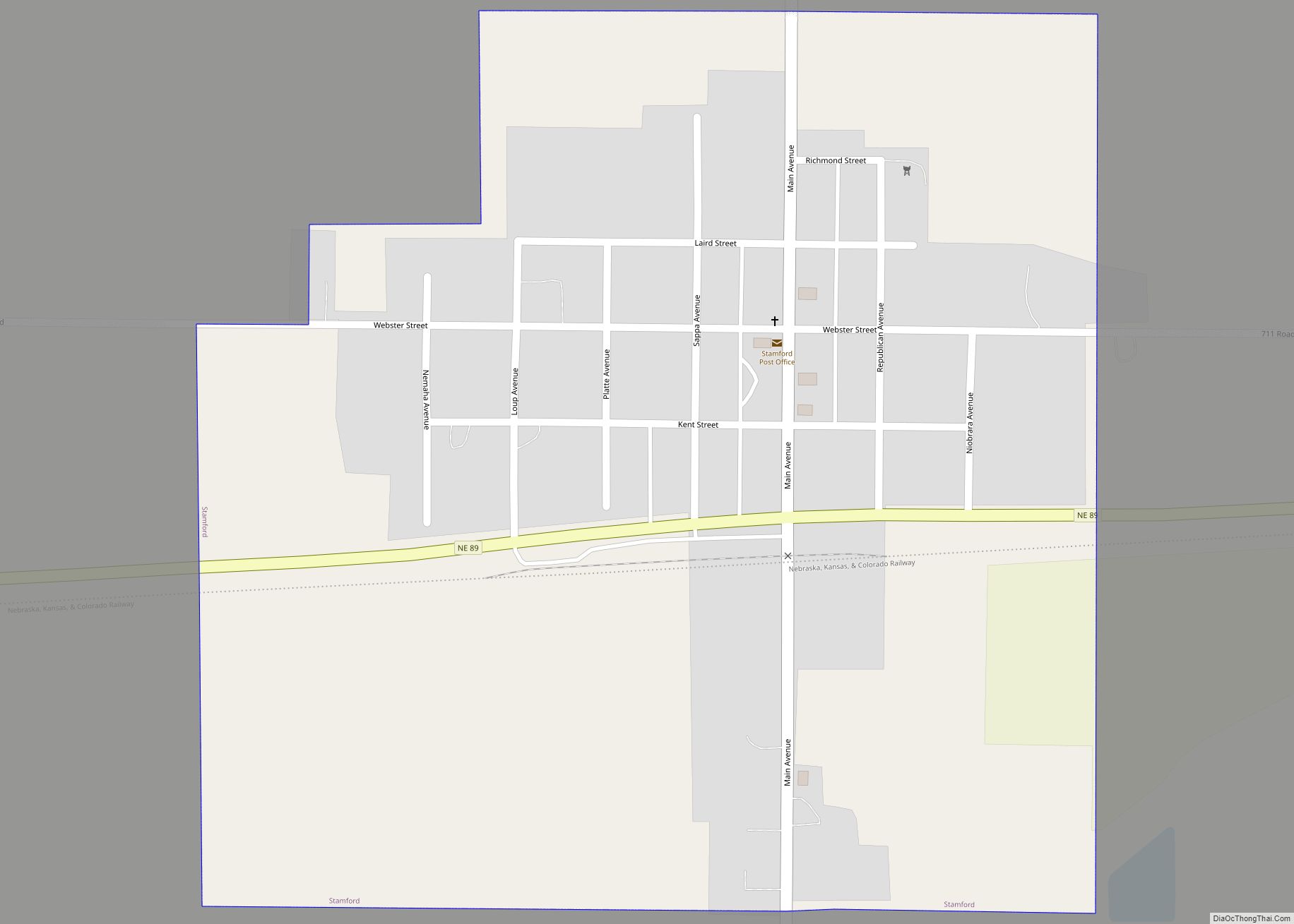
Stamford is a village in Harlan County, Nebraska, United States. The population was 183 at the 2010 census. Stamford village overview: Name: Stamford village LSAD Code: 47 LSAD Description: village (suffix) State: Nebraska County: Harlan County Elevation: 2,047 ft (624 m) Total Area: 0.47 sq mi (1.23 km²) Land Area: 0.47 sq mi (1.23 km²) Water Area: 0.00 sq mi (0.00 km²) Total Population: 158 Population ... Read more
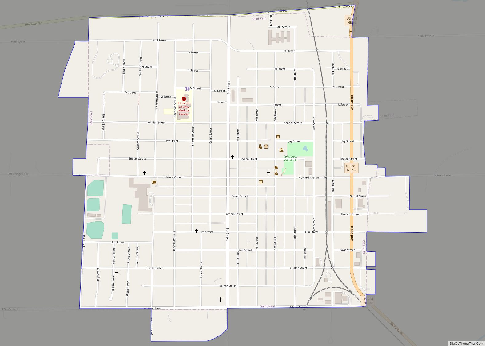
St. Paul is a city in and the county seat of Howard County, Nebraska, United States. The population was 2,290 at the 2010 census. St. Paul is part of the Grand Island, Nebraska Micropolitan Statistical Area. St. Paul city overview: Name: St. Paul city LSAD Code: 25 LSAD Description: city (suffix) State: Nebraska County: Howard ... Read more
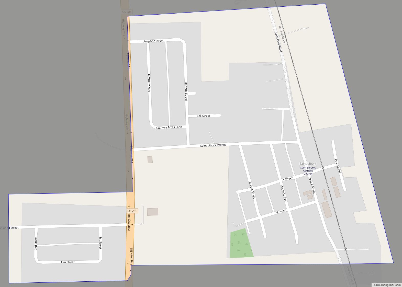
St. Libory is an unincorporated community and census-designated place (CDP) in southeastern Howard County, Nebraska, United States. As of the 2010 census it had a population of 264. It lies along U.S. Route 281, 11 miles (18 km) southeast of the city of St. Paul, the county seat of Howard County. Its elevation is 1,863 feet ... Read more
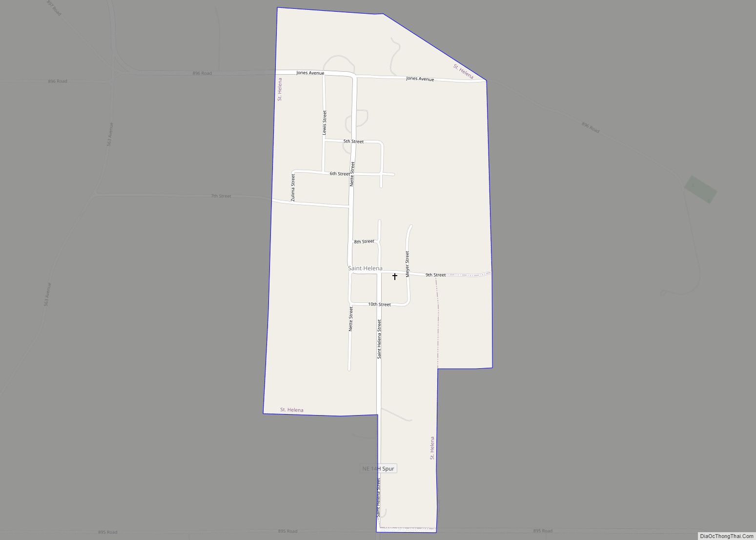
St. Helena is a village in Cedar County, Nebraska, United States. The population was 91 at the 2020 census. St. Helena village overview: Name: St. Helena village LSAD Code: 47 LSAD Description: village (suffix) State: Nebraska County: Cedar County Elevation: 1,243 ft (379 m) Total Area: 0.44 sq mi (1.15 km²) Land Area: 0.44 sq mi (1.15 km²) Water Area: 0.00 sq mi (0.00 km²) Total ... Read more
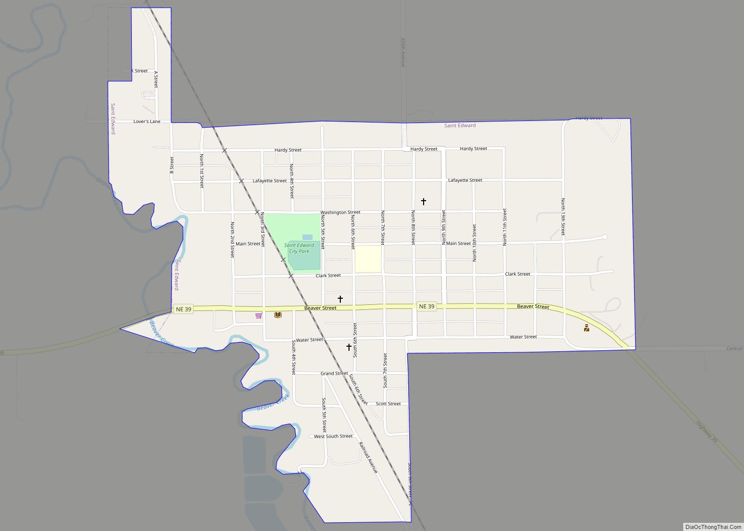
St. Edward is a city in Boone County, Nebraska, United States. The population was 725 at the 2020 census. St. Edward city overview: Name: St. Edward city LSAD Code: 25 LSAD Description: city (suffix) State: Nebraska County: Boone County Elevation: 1,663 ft (507 m) Total Area: 0.66 sq mi (1.71 km²) Land Area: 0.66 sq mi (1.71 km²) Water Area: 0.00 sq mi (0.00 km²) Total ... Read more
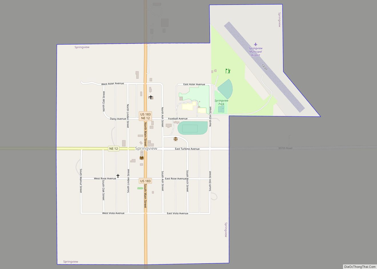
Springview is a village in, and the county seat of, Keya Paha County, Nebraska, United States. The population was 242 at the 2010 census. Springview village overview: Name: Springview village LSAD Code: 47 LSAD Description: village (suffix) State: Nebraska County: Keya Paha County Elevation: 2,448 ft (746 m) Total Area: 0.66 sq mi (1.72 km²) Land Area: 0.66 sq mi (1.72 km²) Water ... Read more
Springfield is a city in Sarpy County, Nebraska, United States. The population was 1,501 at the 2020 census. Springfield city overview: Name: Springfield city LSAD Code: 25 LSAD Description: city (suffix) State: Nebraska County: Sarpy County Elevation: 1,109 ft (338 m) Total Area: 1.62 sq mi (4.19 km²) Land Area: 1.62 sq mi (4.19 km²) Water Area: 0.00 sq mi (0.00 km²) Total Population: 1,501 Population ... Read more
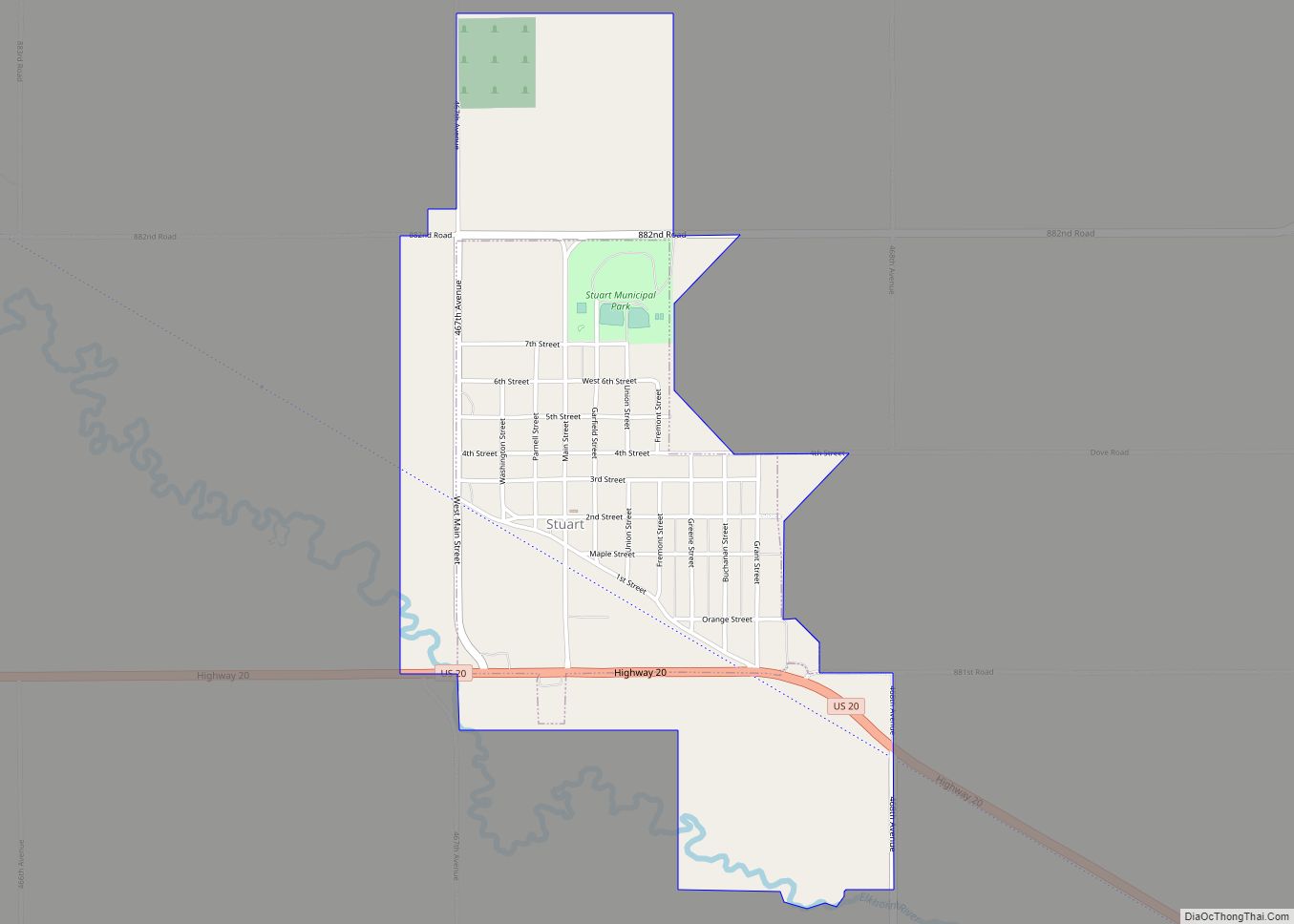
Stuart is a village in Holt County, Nebraska, United States. The population was 590 at the 2010 census. Stuart village overview: Name: Stuart village LSAD Code: 47 LSAD Description: village (suffix) State: Nebraska County: Holt County Elevation: 2,159 ft (658 m) Total Area: 1.37 sq mi (3.54 km²) Land Area: 1.37 sq mi (3.54 km²) Water Area: 0.00 sq mi (0.00 km²) Total Population: 486 Population ... Read more
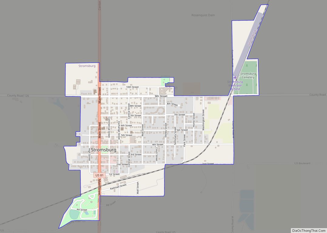
Stromsburg is a city in Polk County, Nebraska, United States. The population was 1,028 as per the 2020 census. Stromsburg city overview: Name: Stromsburg city LSAD Code: 25 LSAD Description: city (suffix) State: Nebraska County: Polk County Elevation: 1,677 ft (511 m) Total Area: 1.03 sq mi (2.66 km²) Land Area: 1.02 sq mi (2.65 km²) Water Area: 0.00 sq mi (0.00 km²) Total Population: 1,028 ... Read more
