St. Paul is a city in and the county seat of Howard County, Nebraska, United States. The population was 2,290 at the 2010 census.
St. Paul is part of the Grand Island, Nebraska Micropolitan Statistical Area.
| Name: | St. Paul city |
|---|---|
| LSAD Code: | 25 |
| LSAD Description: | city (suffix) |
| State: | Nebraska |
| County: | Howard County |
| Elevation: | 1,814 ft (553 m) |
| Total Area: | 1.24 sq mi (3.22 km²) |
| Land Area: | 1.24 sq mi (3.22 km²) |
| Water Area: | 0.00 sq mi (0.00 km²) |
| Total Population: | 2,416 |
| Population Density: | 1,945.25/sq mi (750.98/km²) |
| FIPS code: | 3143265 |
| GNISfeature ID: | 0833046 |
| Website: | http://www.stpaulnebraska.com/ |
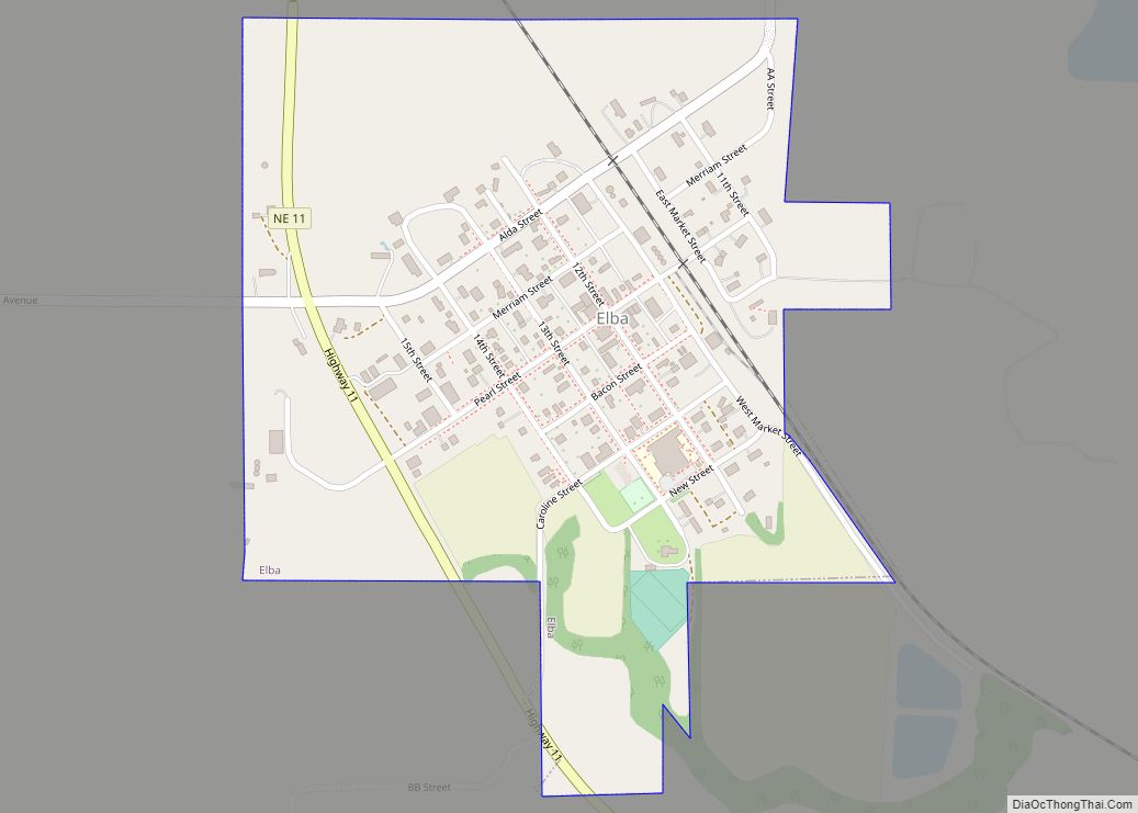
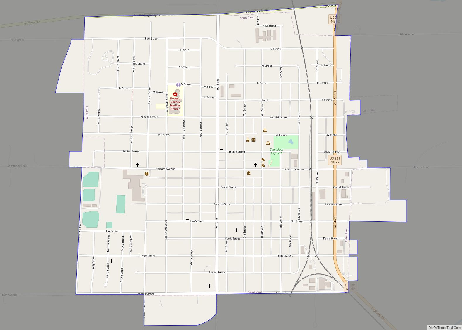
Online Interactive Map
Click on ![]() to view map in "full screen" mode.
to view map in "full screen" mode.
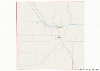
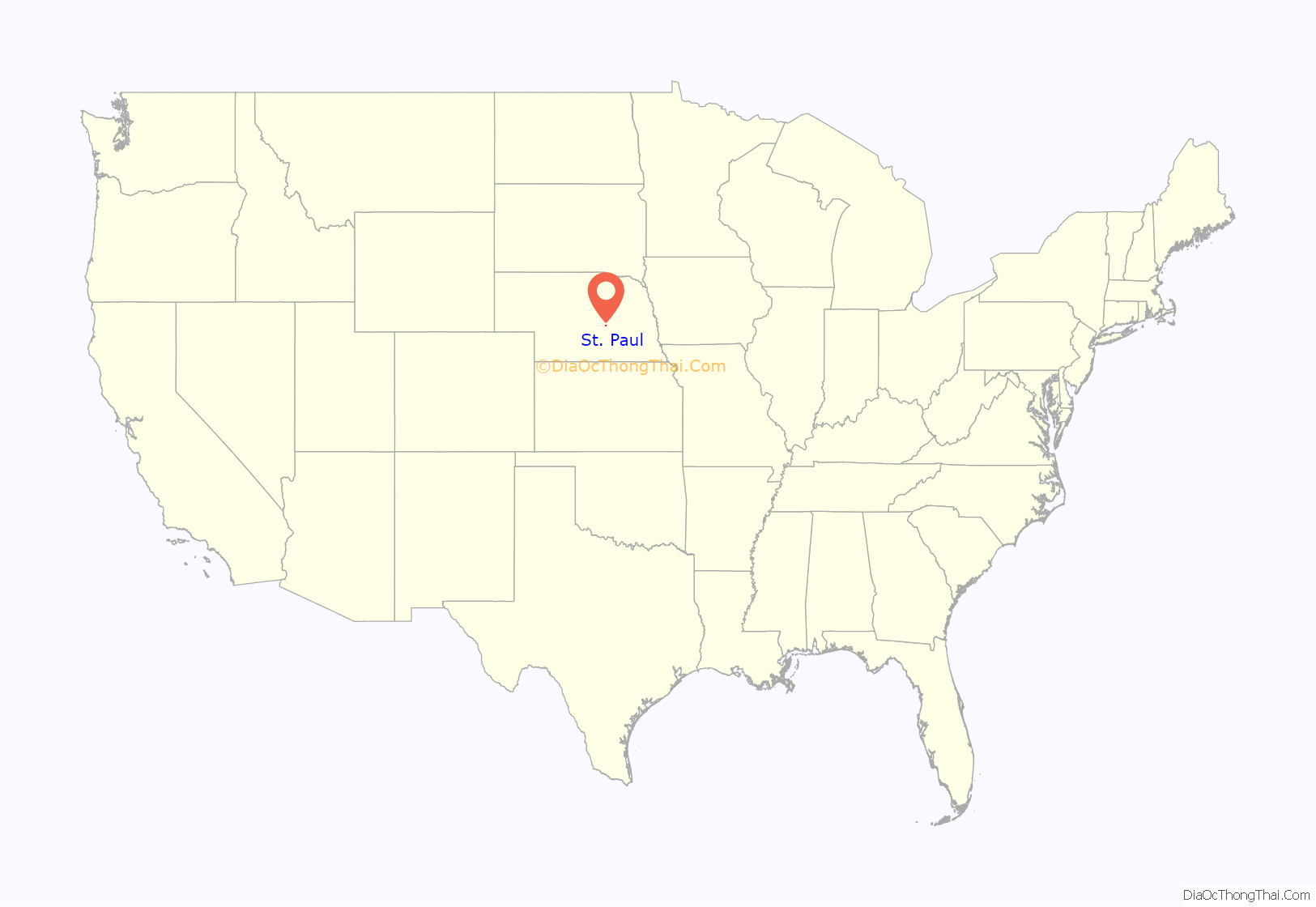
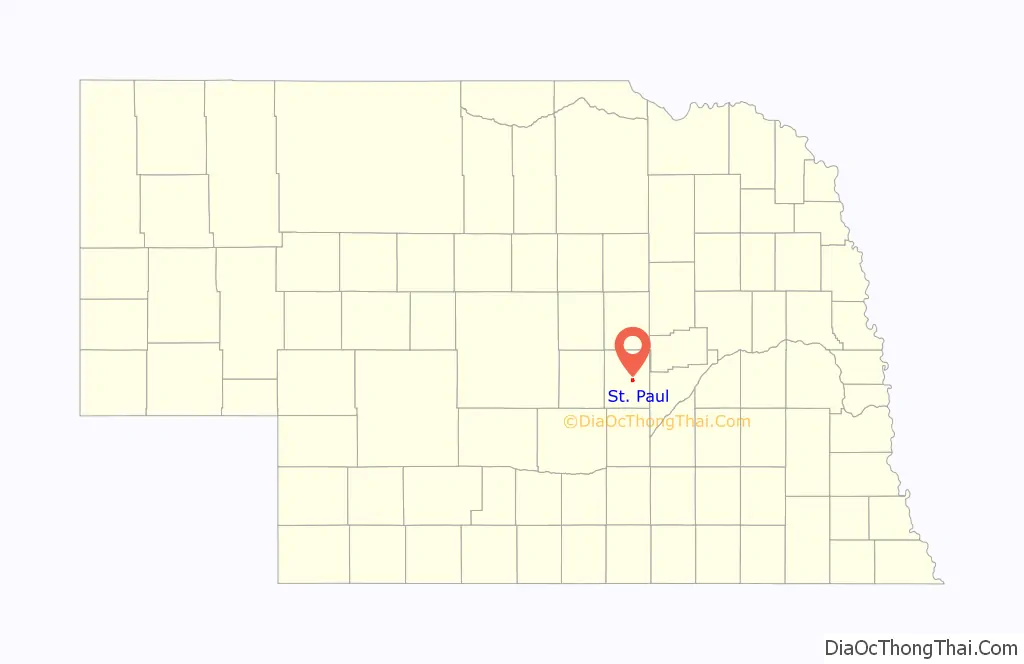
St. Paul location map. Where is St. Paul city?
History
St. Paul was founded by two young surveyors, James N. and Nicholas J. Paul, who had been surveying in Nebraska and the surrounding areas as the land opened to settlers. Struck by the beauty and the prospects of the Loup valley, they took out homesteads, successfully petitioned the state legislature to form a new county to be known as Howard County, and laid out the townsite. They brought the first settlers to the county in March 1871 and established the seat of government in St. Paul. Stillman Hazeltine put up the first building for a general store and town hall in the summer of 1871. That first building burned a few years later and the brick building which replaced it is still in use with his name and date 1871 on the front.
When the town was to be named, a committee collected the suggested names in a hat and the name Athens was drawn. Since an Athens already existed in the state, Nebraska Senator Phineas W. Hitchcock suggested the name St. Paul in honor of the Paul brothers who founded it. It officially became the county seat by vote in 1874 and was incorporated in 1881. The first mayor was E.F. Clapp.
During its first twenty years, Howard County was a typical western frontier with covered wagons, cowboys, huge cattle herds, rowdy railroad construction gangs, and Army detachments stationed within its borders. As settlers and the railroad extended north and west, the town of St. Paul served as an important trade center and quickly grew to a population of 2,000 residents. From 1882 until 1917, St. Paul was the home of Frank Iams, the nation’s largest importer of European draft horses. Three-star General C.S. Irvine set record-shattering, long-distance flights in a B-29 shortly after World War II. Herbert Paul was Adjutant General of the Nebraska National Guard for 19 years.
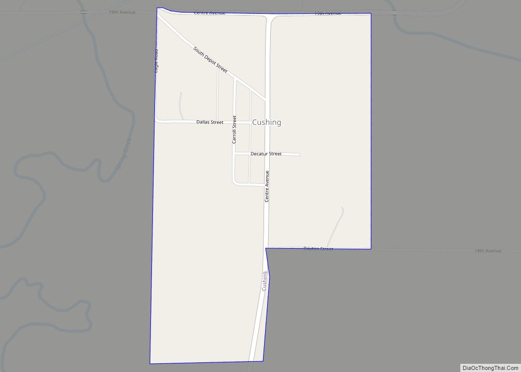
St. Paul had a broom factory, canning factory, brick factory, cigar factory, two flour mills, hatchery and more. Through the years innovation like the first self-rising flour was developed at one of the flour mills. The first chicken hatchery in Nebraska started in Cushing in 1901, moved to St. Paul in 1922, and operated until 1956. Pirus, a cure for many kidney and liver ailments, was invented in St. Paul. Dorothy Lynch invented her famous salad dressing in St. Paul, which is now sold nationally.
The first two people executed in Nebraska’s electric chair were sentenced for a murder they committed within Howard County.
Grover Cleveland Alexander, who was inducted into the National Baseball Hall of Fame, was born on a farm in the area and retired to St. Paul at the end of his sports career. The American Legion baseball field was dedicated on June 15, 1971, and named after Alexander. Each year St. Paul honors Alexander with the celebration of Grover Cleveland Alexander (GCA) Days, the weekend following the 4th of July.
St. Paul Road Map
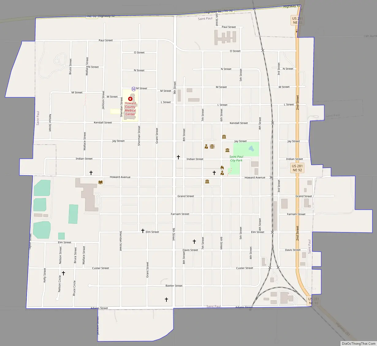
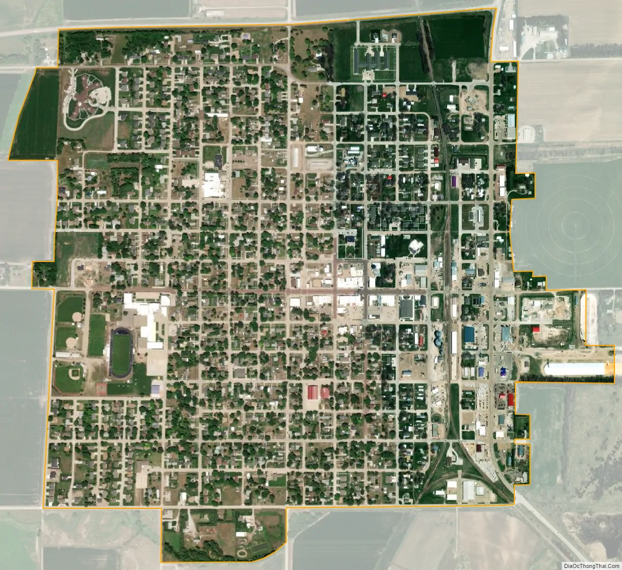
St. Paul city Satellite Map
Geography
St. Paul is located at 41°12′49″N 98°27′36″W / 41.21361°N 98.46000°W / 41.21361; -98.46000 (41.213709, -98.459881).
According to the United States Census Bureau, the city has a total area of 1.11 square miles (2.87 km), all land.
Climate
See also
Map of Nebraska State and its subdivision:- Adams
- Antelope
- Arthur
- Banner
- Blaine
- Boone
- Box Butte
- Boyd
- Brown
- Buffalo
- Burt
- Butler
- Cass
- Cedar
- Chase
- Cherry
- Cheyenne
- Clay
- Colfax
- Cuming
- Custer
- Dakota
- Dawes
- Dawson
- Deuel
- Dixon
- Dodge
- Douglas
- Dundy
- Fillmore
- Franklin
- Frontier
- Furnas
- Gage
- Garden
- Garfield
- Gosper
- Grant
- Greeley
- Hall
- Hamilton
- Harlan
- Hayes
- Hitchcock
- Holt
- Hooker
- Howard
- Jefferson
- Johnson
- Kearney
- Keith
- Keya Paha
- Kimball
- Knox
- Lancaster
- Lincoln
- Logan
- Loup
- Madison
- McPherson
- Merrick
- Morrill
- Nance
- Nemaha
- Nuckolls
- Otoe
- Pawnee
- Perkins
- Phelps
- Pierce
- Platte
- Polk
- Red Willow
- Richardson
- Rock
- Saline
- Sarpy
- Saunders
- Scotts Bluff
- Seward
- Sheridan
- Sherman
- Sioux
- Stanton
- Thayer
- Thomas
- Thurston
- Valley
- Washington
- Wayne
- Webster
- Wheeler
- York
- Alabama
- Alaska
- Arizona
- Arkansas
- California
- Colorado
- Connecticut
- Delaware
- District of Columbia
- Florida
- Georgia
- Hawaii
- Idaho
- Illinois
- Indiana
- Iowa
- Kansas
- Kentucky
- Louisiana
- Maine
- Maryland
- Massachusetts
- Michigan
- Minnesota
- Mississippi
- Missouri
- Montana
- Nebraska
- Nevada
- New Hampshire
- New Jersey
- New Mexico
- New York
- North Carolina
- North Dakota
- Ohio
- Oklahoma
- Oregon
- Pennsylvania
- Rhode Island
- South Carolina
- South Dakota
- Tennessee
- Texas
- Utah
- Vermont
- Virginia
- Washington
- West Virginia
- Wisconsin
- Wyoming