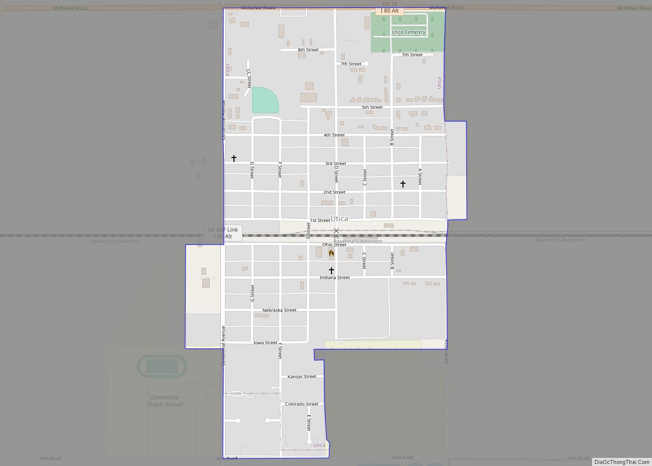
Utica is a village in Seward County, Nebraska, United States. It is part of the Lincoln, Nebraska Metropolitan Statistical Area. The population was 861 at the 2010 census. Utica village overview: Name: Utica village LSAD Code: 47 LSAD Description: village (suffix) State: Nebraska County: Seward County Elevation: 1,591 ft (485 m) Total Area: 0.46 sq mi (1.19 km²) Land Area: ... Read more
Nebraska Cities and Places
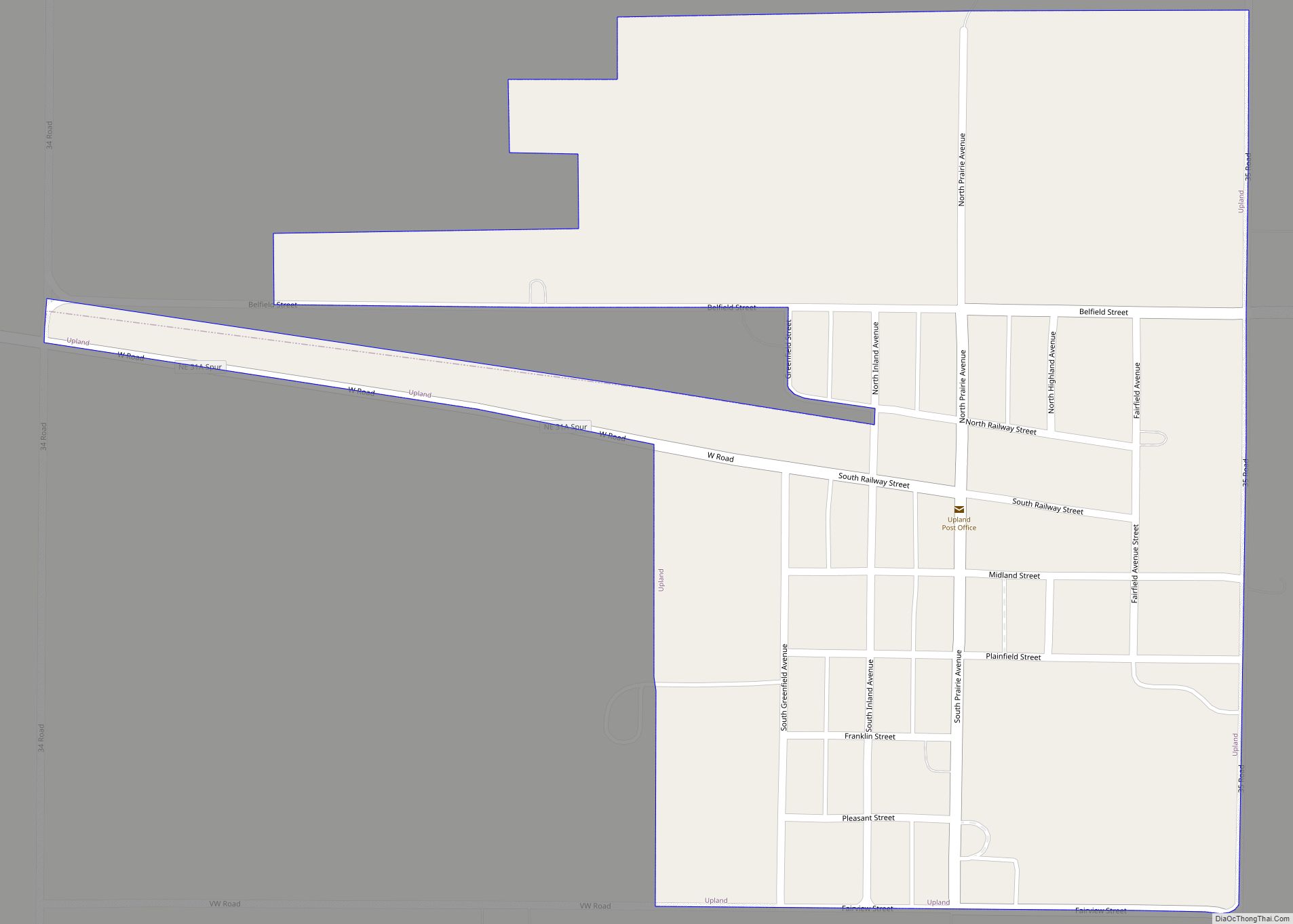
Upland is a village in Franklin County, Nebraska, United States. The population was 143 at the 2010 census. Upland village overview: Name: Upland village LSAD Code: 47 LSAD Description: village (suffix) State: Nebraska County: Franklin County Elevation: 2,162 ft (659 m) Total Area: 0.44 sq mi (1.13 km²) Land Area: 0.44 sq mi (1.13 km²) Water Area: 0.00 sq mi (0.00 km²) Total Population: 125 Population ... Read more
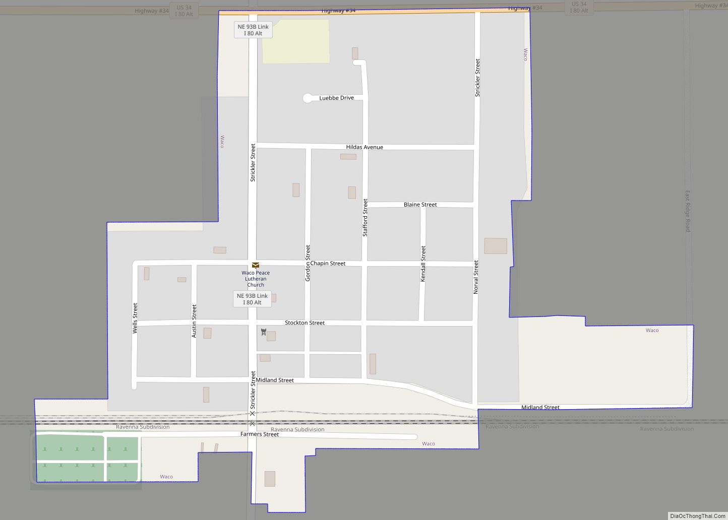
Waco is a village in York County, Nebraska, United States. The population was 236 at the 2010 census. Waco village overview: Name: Waco village LSAD Code: 47 LSAD Description: village (suffix) State: Nebraska County: York County Elevation: 1,621 ft (494 m) Total Area: 0.25 sq mi (0.64 km²) Land Area: 0.25 sq mi (0.64 km²) Water Area: 0.00 sq mi (0.00 km²) Total Population: 296 Population ... Read more
Virginia is a village in Gage County, Nebraska, United States. The population was 74 at the 2020 census. Virginia village overview: Name: Virginia village LSAD Code: 47 LSAD Description: village (suffix) State: Nebraska County: Gage County Elevation: 1,522 ft (464 m) Total Area: 0.10 sq mi (0.26 km²) Land Area: 0.10 sq mi (0.26 km²) Water Area: 0.00 sq mi (0.00 km²) Total Population: 74 Population ... Read more
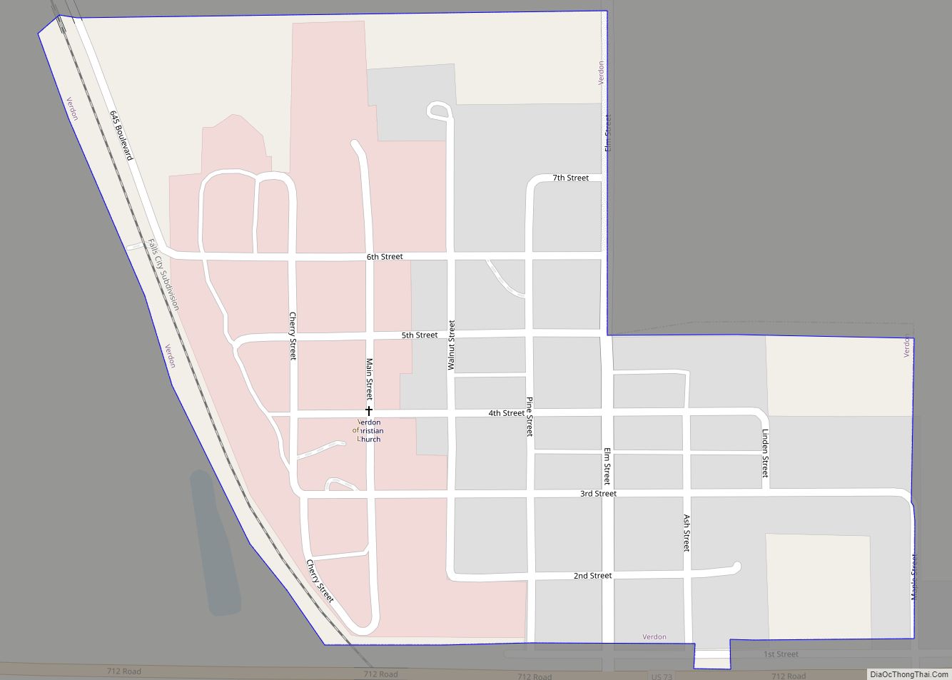
Verdon is a village in Richardson County, Nebraska, United States. The population was 164 at the 2020 census. Verdon village overview: Name: Verdon village LSAD Code: 47 LSAD Description: village (suffix) State: Nebraska County: Richardson County Elevation: 974 ft (297 m) Total Area: 0.24 sq mi (0.61 km²) Land Area: 0.24 sq mi (0.61 km²) Water Area: 0.00 sq mi (0.00 km²) Total Population: 164 Population ... Read more
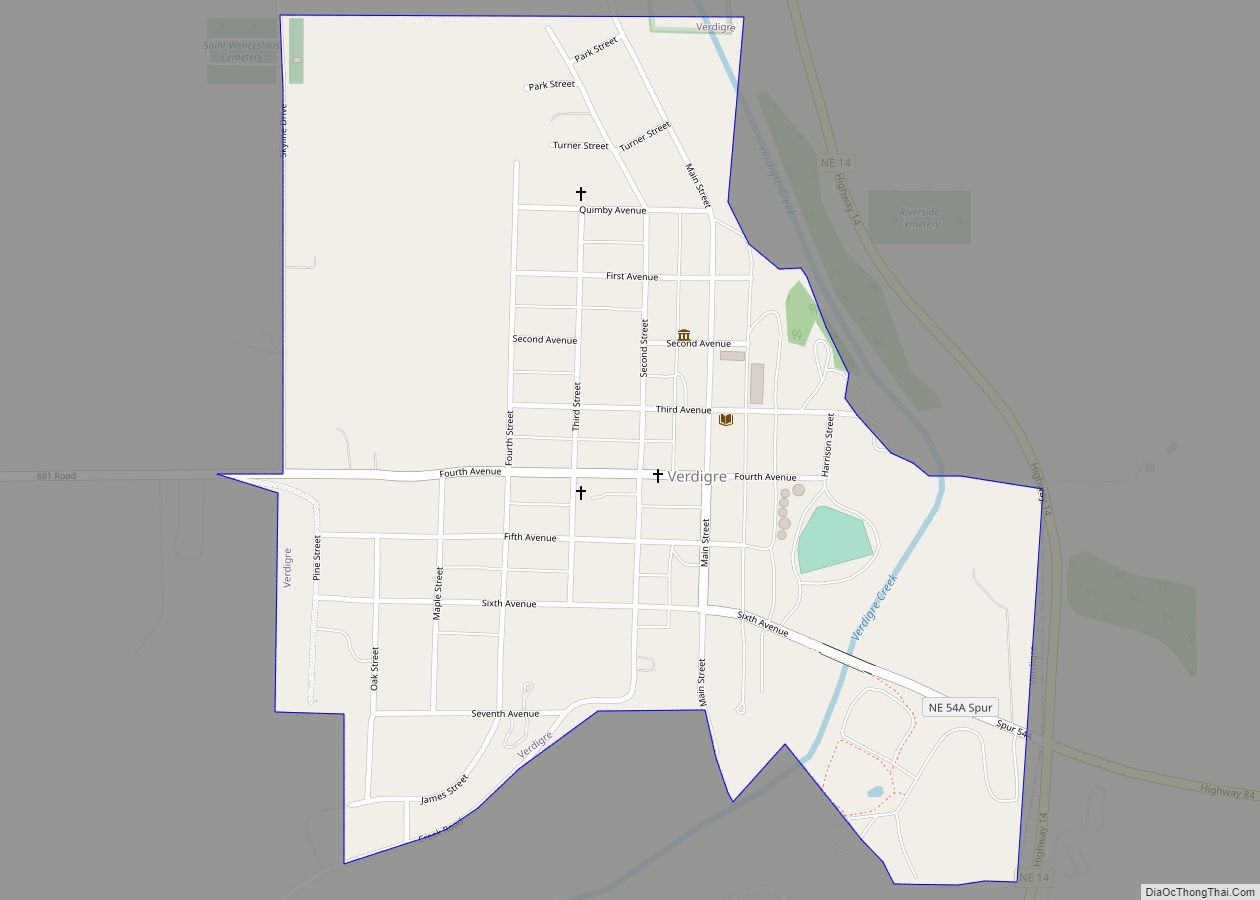
Verdigre is a village in Knox County, Nebraska, United States. The population was 575 at the 2010 census. Verdigre village overview: Name: Verdigre village LSAD Code: 47 LSAD Description: village (suffix) State: Nebraska County: Knox County Elevation: 1,355 ft (413 m) Total Area: 0.56 sq mi (1.46 km²) Land Area: 0.55 sq mi (1.42 km²) Water Area: 0.01 sq mi (0.04 km²) Total Population: 554 Population ... Read more
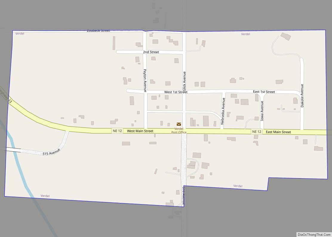
Verdel is a village in Knox County, Nebraska, United States. The population was 30 at the 2010 census. Verdel village overview: Name: Verdel village LSAD Code: 47 LSAD Description: village (suffix) State: Nebraska County: Knox County Elevation: 1,266 ft (386 m) Total Area: 0.17 sq mi (0.45 km²) Land Area: 0.17 sq mi (0.45 km²) Water Area: 0.00 sq mi (0.00 km²) Total Population: 38 Population ... Read more
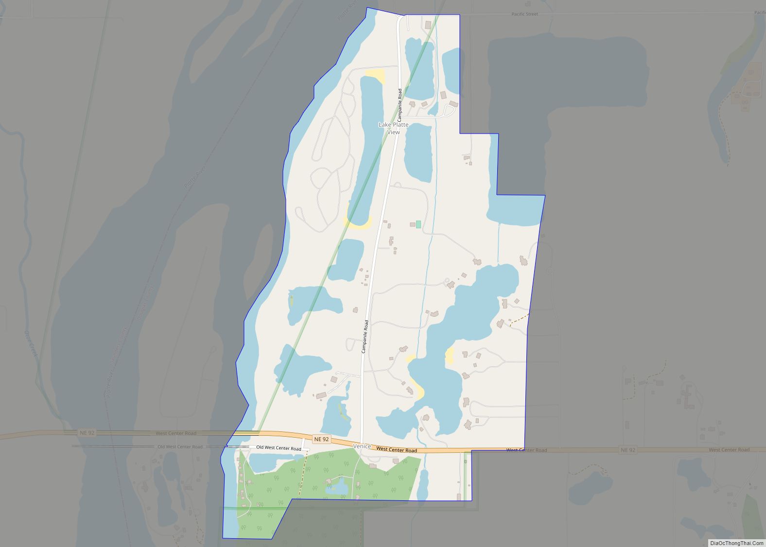
Venice is a census-designated place in Douglas County, Nebraska, United States. The population was 75 at the 2020 Census. 40 people are male and 35 are female. The area is 0.60 sq. miles. The population density is 125.09 people/sq. mi. The land area is 0.48 sq. miles. The water area is 0.12 sq. miles. Venice ... Read more
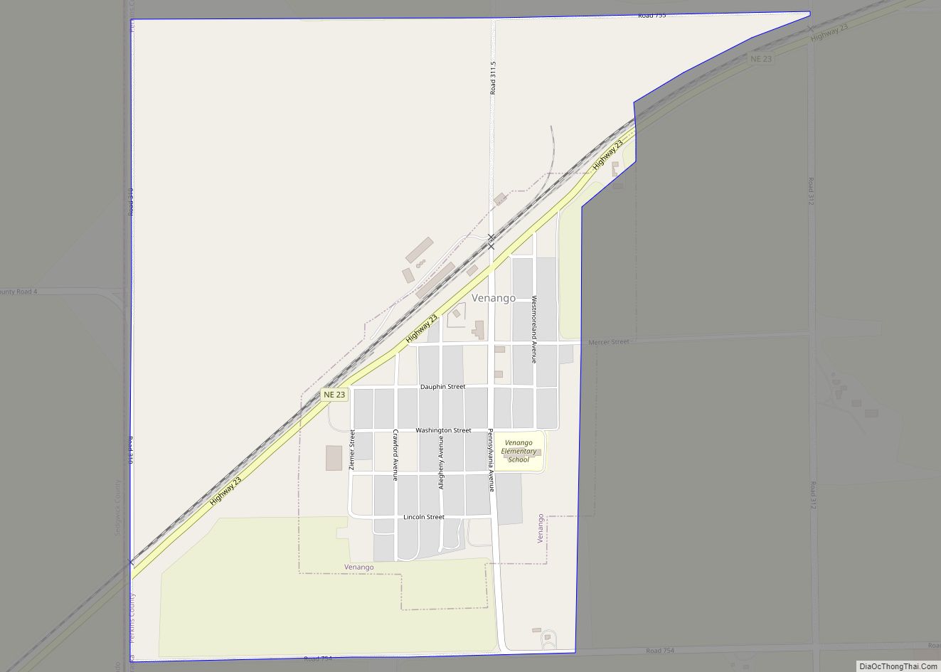
Venango is a village in Perkins County, Nebraska, United States. The population was 157 at the 2020 U.S. census. Venango village overview: Name: Venango village LSAD Code: 47 LSAD Description: village (suffix) State: Nebraska County: Perkins County Elevation: 3,596 ft (1,096 m) Total Area: 0.76 sq mi (1.96 km²) Land Area: 0.76 sq mi (1.96 km²) Water Area: 0.00 sq mi (0.00 km²) Total Population: 157 ... Read more
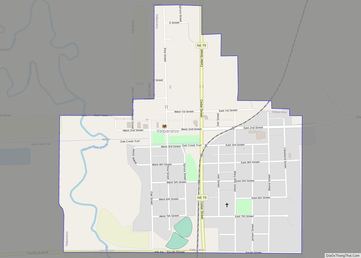
Valparaiso is a village in Saunders County, Nebraska, United States. The population was 595 at the 2020 census. Valparaiso village overview: Name: Valparaiso village LSAD Code: 47 LSAD Description: village (suffix) State: Nebraska County: Saunders County Elevation: 1,306 ft (398 m) Total Area: 0.56 sq mi (1.46 km²) Land Area: 0.56 sq mi (1.46 km²) Water Area: 0.00 sq mi (0.00 km²) Total Population: 595 Population ... Read more
Valley is a city in Douglas County, Nebraska, United States. The population was 3,037 at the 2020 census. Valley is also home to the area’s National Weather Service office, serving portions of eastern Nebraska and southwestern Iowa. Valley city overview: Name: Valley city LSAD Code: 25 LSAD Description: city (suffix) State: Nebraska County: Douglas County ... Read more
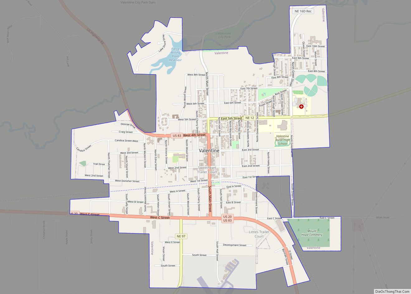
Valentine is a city in Cherry County, Nebraska, United States. The population was 2,737 at the 2010 census. It is the county seat of Cherry County. Valentine city overview: Name: Valentine city LSAD Code: 25 LSAD Description: city (suffix) State: Nebraska County: Cherry County Elevation: 2,582 ft (787 m) Total Area: 2.65 sq mi (6.85 km²) Land Area: 2.63 sq mi (6.82 km²) ... Read more
