Trenton is a village in Hitchcock County, Nebraska, United States. The population was 516 at the 2020 census. It is the county seat of Hitchcock County.
| Name: | Trenton village |
|---|---|
| LSAD Code: | 47 |
| LSAD Description: | village (suffix) |
| State: | Nebraska |
| County: | Hitchcock County |
| Elevation: | 2,674 ft (815 m) |
| Total Area: | 0.58 sq mi (1.51 km²) |
| Land Area: | 0.58 sq mi (1.51 km²) |
| Water Area: | 0.00 sq mi (0.00 km²) |
| Total Population: | 516 |
| Population Density: | 886.60/sq mi (342.09/km²) |
| ZIP code: | 69044 |
| Area code: | 308 |
| FIPS code: | 3149145 |
| GNISfeature ID: | 0834155 |
| Website: | villageoftrenton.net |
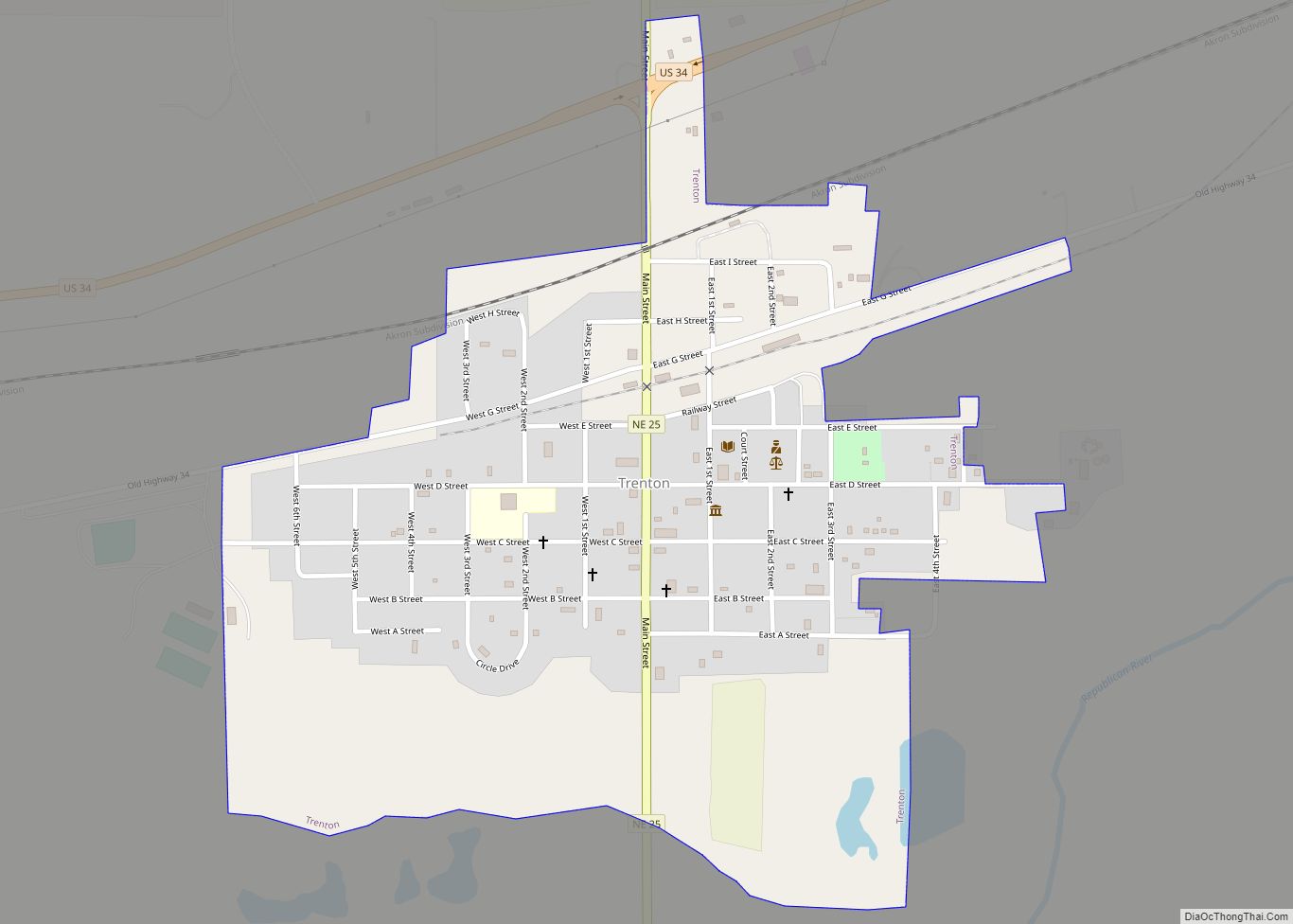
Online Interactive Map
Click on ![]() to view map in "full screen" mode.
to view map in "full screen" mode.
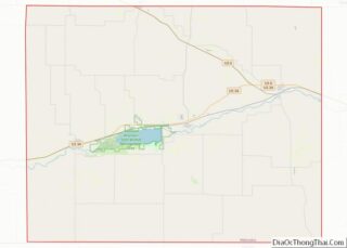
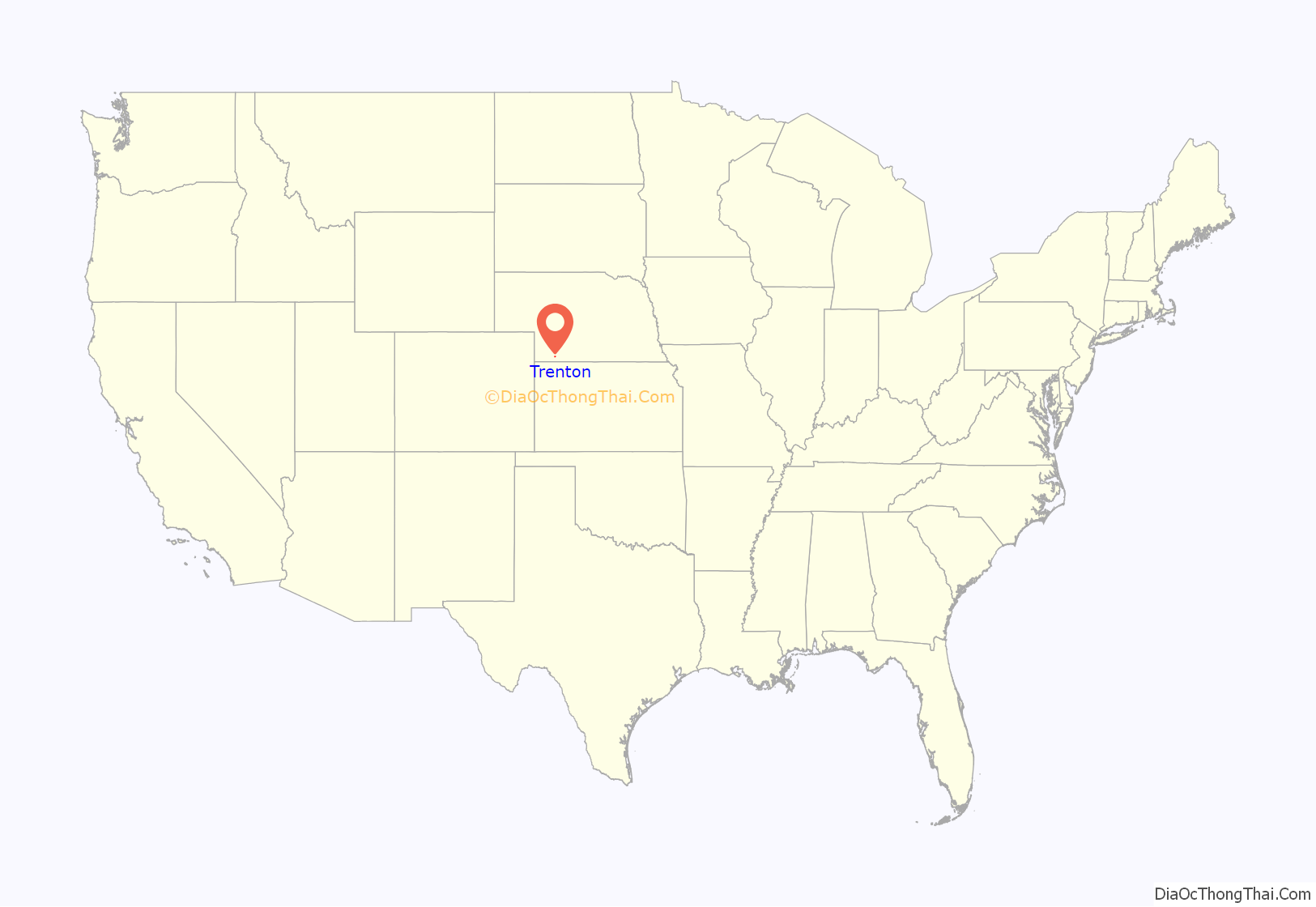
Trenton location map. Where is Trenton village?
History
Trenton was platted in 1885 when the railroad was extended to that point. It was named after Trenton, New Jersey.
Due to Trenton’s location near the center of the county, and its position on the Chicago, Burlington and Quincy Railroad, the seat of Hitchcock County was transferred there from the first county seat, Culbertson.
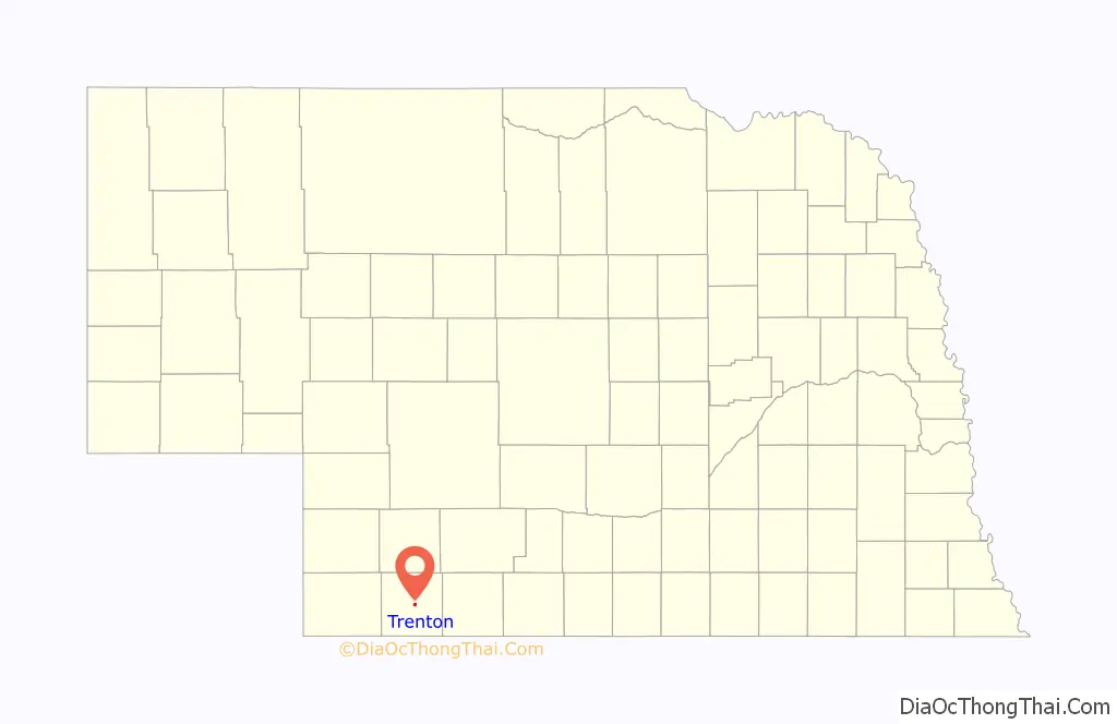
Trenton Road Map
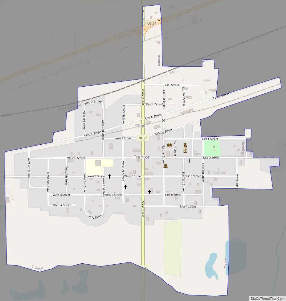
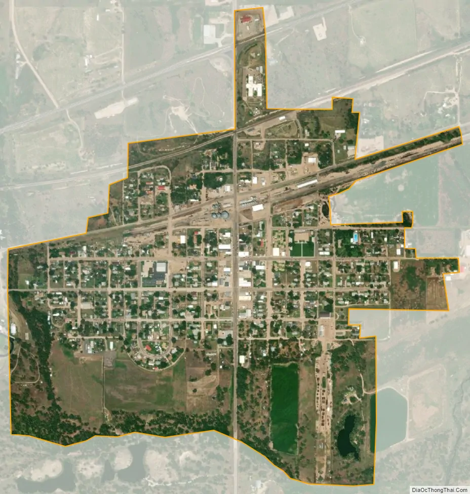
Trenton city Satellite Map
Geography
Trenton is located at 40°10′34″N 101°0′49″W / 40.17611°N 101.01361°W / 40.17611; -101.01361 (40.176241, -101.013723). According to the United States Census Bureau, the village has a total area of 0.58 square miles (1.50 km), all land.
Trenton Dam, impounding the Republican River, and its large reservoir called Lake Swanson, stand about two and one-half miles west of the city.
See also
Map of Nebraska State and its subdivision:- Adams
- Antelope
- Arthur
- Banner
- Blaine
- Boone
- Box Butte
- Boyd
- Brown
- Buffalo
- Burt
- Butler
- Cass
- Cedar
- Chase
- Cherry
- Cheyenne
- Clay
- Colfax
- Cuming
- Custer
- Dakota
- Dawes
- Dawson
- Deuel
- Dixon
- Dodge
- Douglas
- Dundy
- Fillmore
- Franklin
- Frontier
- Furnas
- Gage
- Garden
- Garfield
- Gosper
- Grant
- Greeley
- Hall
- Hamilton
- Harlan
- Hayes
- Hitchcock
- Holt
- Hooker
- Howard
- Jefferson
- Johnson
- Kearney
- Keith
- Keya Paha
- Kimball
- Knox
- Lancaster
- Lincoln
- Logan
- Loup
- Madison
- McPherson
- Merrick
- Morrill
- Nance
- Nemaha
- Nuckolls
- Otoe
- Pawnee
- Perkins
- Phelps
- Pierce
- Platte
- Polk
- Red Willow
- Richardson
- Rock
- Saline
- Sarpy
- Saunders
- Scotts Bluff
- Seward
- Sheridan
- Sherman
- Sioux
- Stanton
- Thayer
- Thomas
- Thurston
- Valley
- Washington
- Wayne
- Webster
- Wheeler
- York
- Alabama
- Alaska
- Arizona
- Arkansas
- California
- Colorado
- Connecticut
- Delaware
- District of Columbia
- Florida
- Georgia
- Hawaii
- Idaho
- Illinois
- Indiana
- Iowa
- Kansas
- Kentucky
- Louisiana
- Maine
- Maryland
- Massachusetts
- Michigan
- Minnesota
- Mississippi
- Missouri
- Montana
- Nebraska
- Nevada
- New Hampshire
- New Jersey
- New Mexico
- New York
- North Carolina
- North Dakota
- Ohio
- Oklahoma
- Oregon
- Pennsylvania
- Rhode Island
- South Carolina
- South Dakota
- Tennessee
- Texas
- Utah
- Vermont
- Virginia
- Washington
- West Virginia
- Wisconsin
- Wyoming