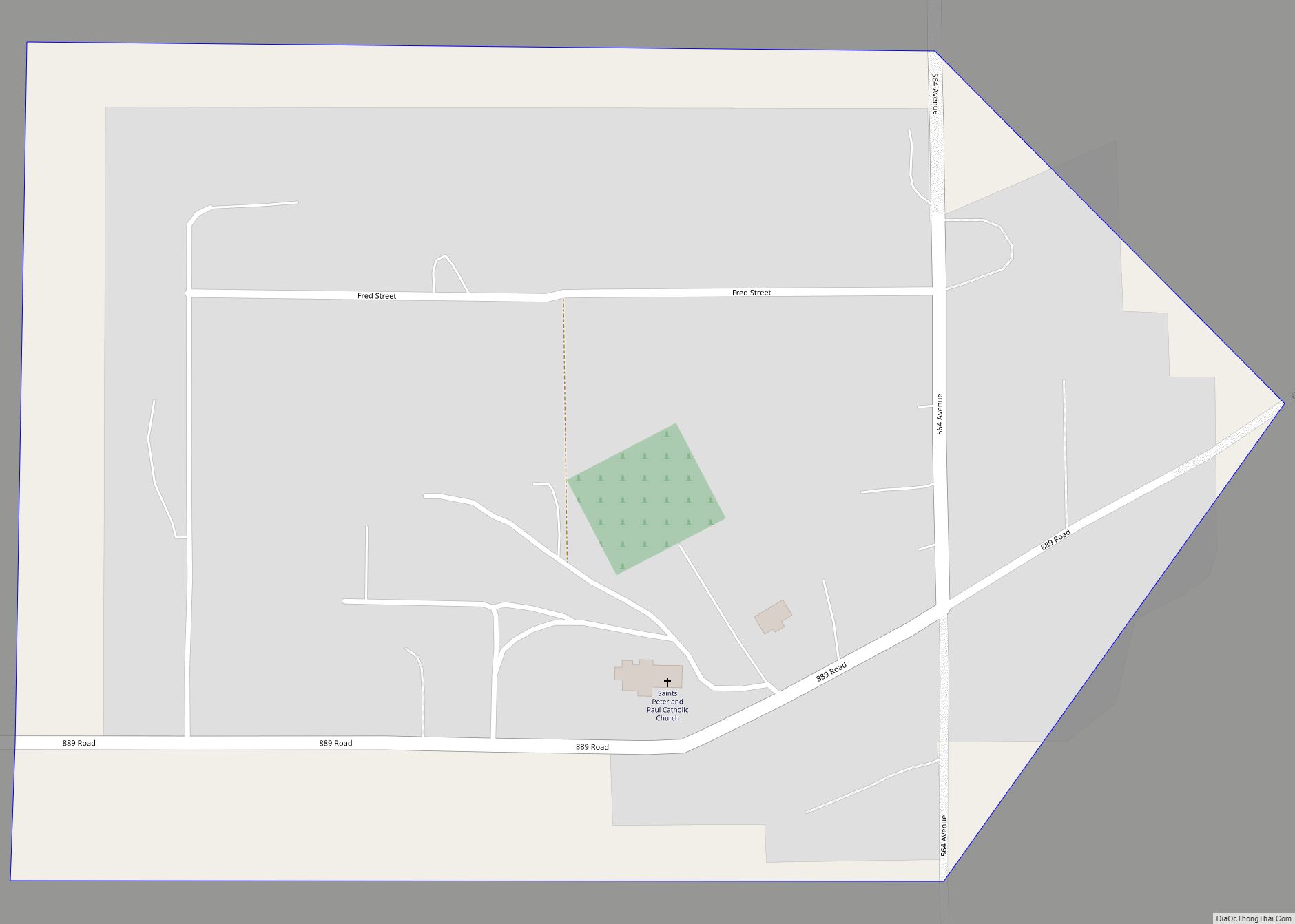
Bow Valley is an unincorporated community and census-designated place in Cedar County, Nebraska, United States. As of the 2010 census it had a population of 116. Bow Valley CDP overview: Name: Bow Valley CDP LSAD Code: 57 LSAD Description: CDP (suffix) State: Nebraska County: Cedar County Total Area: 0.14 sq mi (0.37 km²) Land Area: 0.14 sq mi (0.37 km²) Water ... Read more
Nebraska Cities and Places
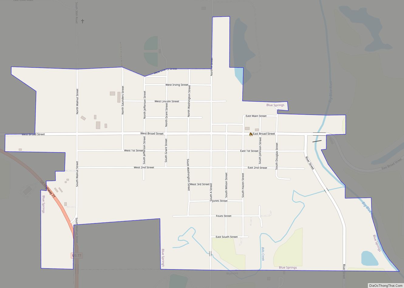
Blue Springs is a city in Gage County, Nebraska, United States. The population was 282 at the 2020 census. Blue Springs city overview: Name: Blue Springs city LSAD Code: 25 LSAD Description: city (suffix) State: Nebraska County: Gage County Elevation: 1,250 ft (380 m) Total Area: 0.79 sq mi (2.03 km²) Land Area: 0.77 sq mi (1.99 km²) Water Area: 0.02 sq mi (0.05 km²) Total ... Read more
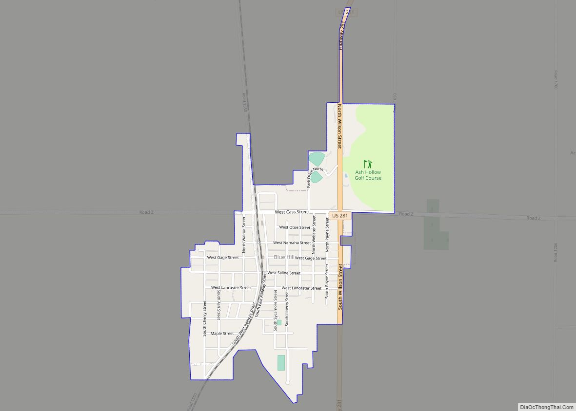
Blue Hill is a town in Webster County, Nebraska, United States. The population was 936 at the 2010 census. Blue Hill city overview: Name: Blue Hill city LSAD Code: 25 LSAD Description: city (suffix) State: Nebraska County: Webster County Elevation: 1,975 ft (602 m) Total Area: 0.73 sq mi (1.90 km²) Land Area: 0.73 sq mi (1.90 km²) Water Area: 0.00 sq mi (0.00 km²) Total ... Read more
Bloomington is a village in Franklin County, Nebraska, United States. The population was 103 at the 2010 census. Bloomington village overview: Name: Bloomington village LSAD Code: 47 LSAD Description: village (suffix) State: Nebraska County: Franklin County Elevation: 1,946 ft (593 m) Total Area: 0.80 sq mi (2.06 km²) Land Area: 0.80 sq mi (2.06 km²) Water Area: 0.00 sq mi (0.00 km²) Total Population: 110 Population ... Read more
Bloomfield is a city in Knox County, Nebraska, United States. The population was 1,028 at the 2010 census. Bloomfield city overview: Name: Bloomfield city LSAD Code: 25 LSAD Description: city (suffix) State: Nebraska County: Knox County Elevation: 1,699 ft (518 m) Total Area: 0.82 sq mi (2.11 km²) Land Area: 0.82 sq mi (2.11 km²) Water Area: 0.00 sq mi (0.00 km²) Total Population: 986 Population ... Read more
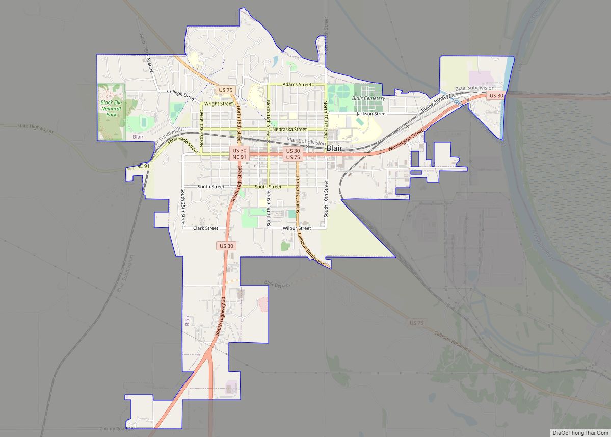
Blair is a city in and the county seat of Washington County, Nebraska, United States. The population was 7,990 at the 2010 census. Blair city overview: Name: Blair city LSAD Code: 25 LSAD Description: city (suffix) State: Nebraska County: Washington County Elevation: 1,070 ft (330 m) Total Area: 5.53 sq mi (14.32 km²) Land Area: 5.51 sq mi (14.27 km²) Water Area: 0.02 sq mi ... Read more
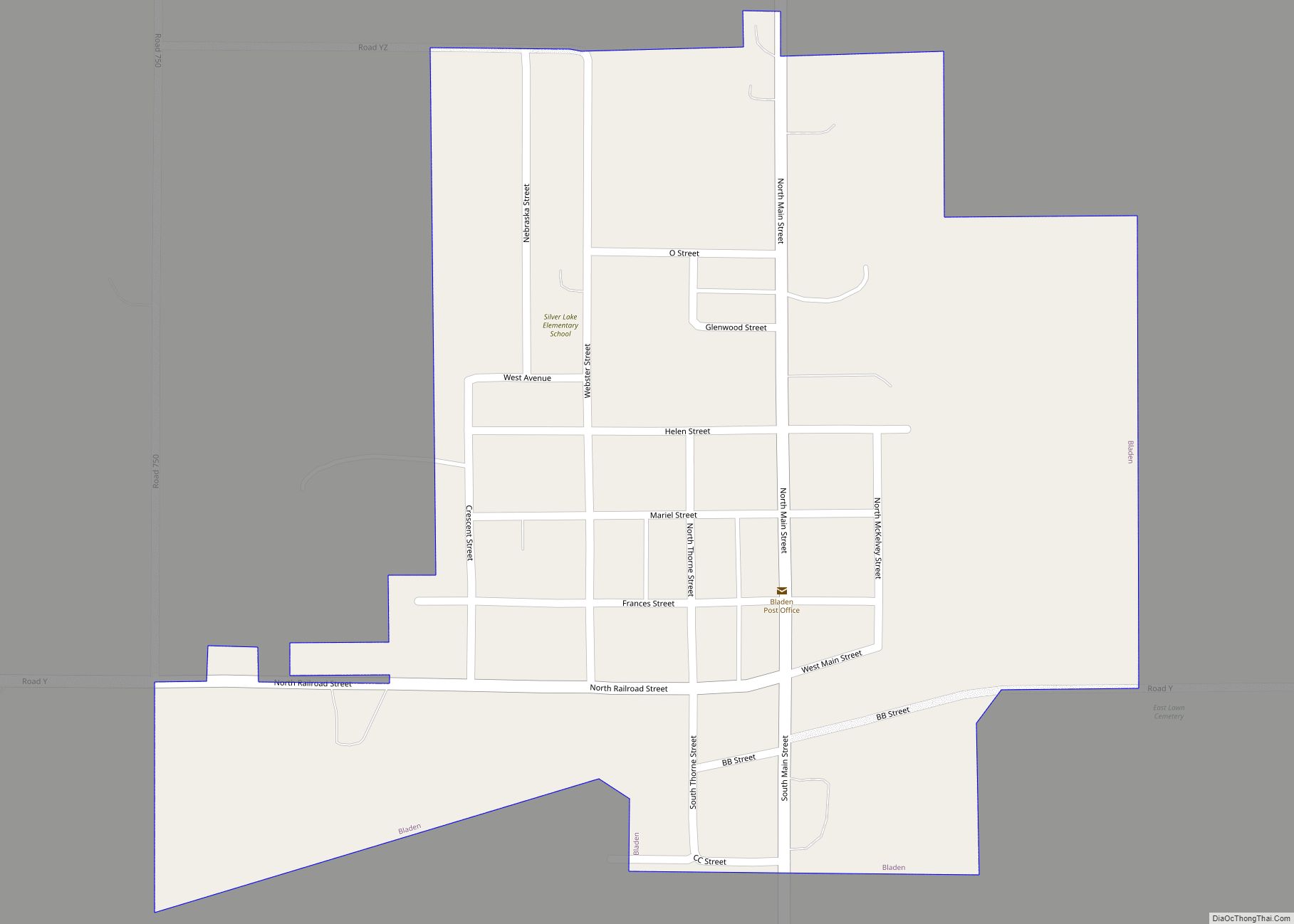
Bladen is a village in Webster County, Nebraska, United States. The population was 237 at the 2010 census. Bladen village overview: Name: Bladen village LSAD Code: 47 LSAD Description: village (suffix) State: Nebraska County: Webster County Elevation: 1,985 ft (605 m) Total Area: 0.36 sq mi (0.93 km²) Land Area: 0.36 sq mi (0.93 km²) Water Area: 0.00 sq mi (0.00 km²) Total Population: 205 Population ... Read more
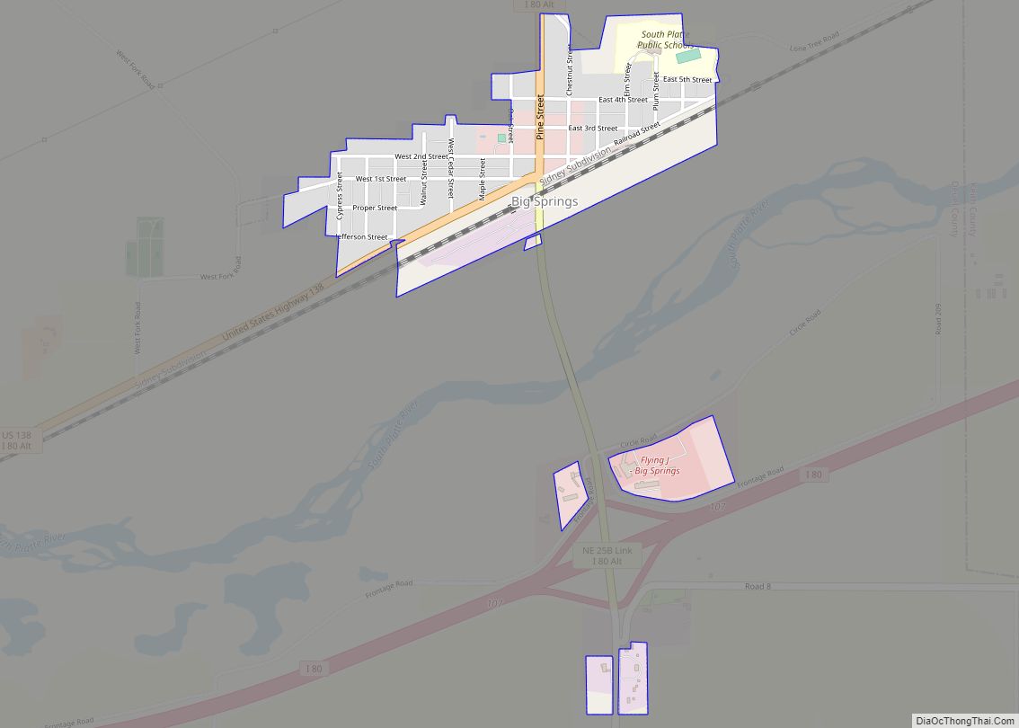
Big Springs is a village in Deuel County, Nebraska, United States. The population was 400 at the 2010 census. Big Springs village overview: Name: Big Springs village LSAD Code: 47 LSAD Description: village (suffix) State: Nebraska County: Deuel County Elevation: 3,373 ft (1,028 m) Total Area: 0.44 sq mi (1.15 km²) Land Area: 0.44 sq mi (1.15 km²) Water Area: 0.00 sq mi (0.00 km²) Total ... Read more
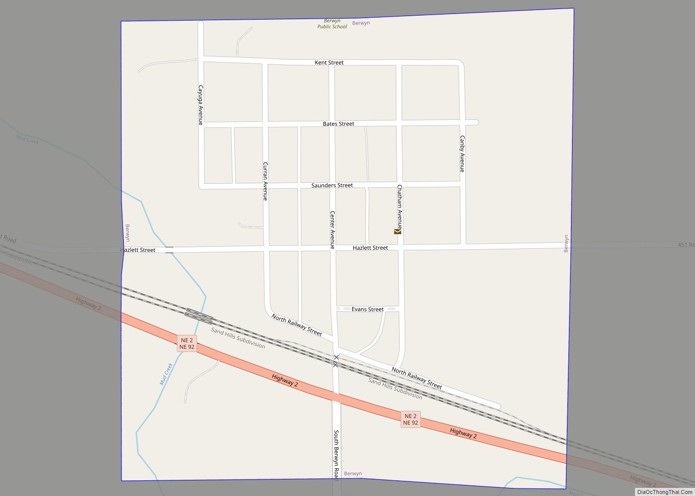
Berwyn is a village in Custer County, Nebraska, United States. The population was 83 at the 2010 census. Berwyn village overview: Name: Berwyn village LSAD Code: 47 LSAD Description: village (suffix) State: Nebraska County: Custer County Elevation: 2,379 ft (725 m) Total Area: 0.26 sq mi (0.66 km²) Land Area: 0.26 sq mi (0.66 km²) Water Area: 0.00 sq mi (0.00 km²) Total Population: 75 Population ... Read more
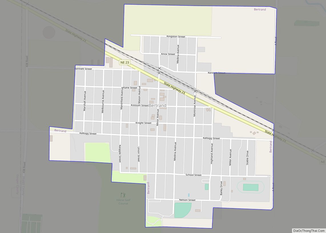
Bertrand is a village in Phelps County, Nebraska, United States. The population was 750 at the 2010 census. Bertrand village overview: Name: Bertrand village LSAD Code: 47 LSAD Description: village (suffix) State: Nebraska County: Phelps County Elevation: 2,520 ft (768 m) Total Area: 0.55 sq mi (1.44 km²) Land Area: 0.55 sq mi (1.44 km²) Water Area: 0.00 sq mi (0.00 km²) Total Population: 709 Population ... Read more
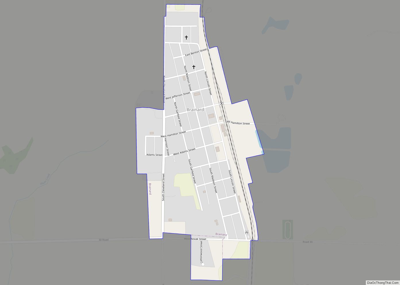
Brainard is a village in Butler County, Nebraska, United States. The population was 330 at the 2010 census. Brainard village overview: Name: Brainard village LSAD Code: 47 LSAD Description: village (suffix) State: Nebraska County: Butler County Elevation: 1,673 ft (510 m) Total Area: 0.31 sq mi (0.80 km²) Land Area: 0.31 sq mi (0.80 km²) Water Area: 0.00 sq mi (0.00 km²) Total Population: 336 Population ... Read more
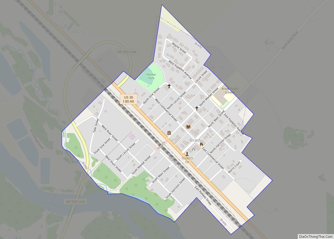
Brady is a village in Lincoln County, Nebraska, United States. It is part of the North Platte, Nebraska Micropolitan Statistical Area. The population was 428 at the 2010 census. Brady village overview: Name: Brady village LSAD Code: 47 LSAD Description: village (suffix) State: Nebraska County: Lincoln County Elevation: 2,651 ft (808 m) Total Area: 0.33 sq mi (0.85 km²) Land ... Read more
