Blair is a city in and the county seat of Washington County, Nebraska, United States. The population was 7,990 at the 2010 census.
| Name: | Blair city |
|---|---|
| LSAD Code: | 25 |
| LSAD Description: | city (suffix) |
| State: | Nebraska |
| County: | Washington County |
| Elevation: | 1,070 ft (330 m) |
| Total Area: | 5.53 sq mi (14.32 km²) |
| Land Area: | 5.51 sq mi (14.27 km²) |
| Water Area: | 0.02 sq mi (0.05 km²) |
| Total Population: | 7,790 |
| Population Density: | 1,413.54/sq mi (545.78/km²) |
| ZIP code: | 68008-68009 |
| Area code: | 402 |
| FIPS code: | 3105350 |
| GNISfeature ID: | 0827479 |
| Website: | blairnebraska.org |
Online Interactive Map
Click on ![]() to view map in "full screen" mode.
to view map in "full screen" mode.
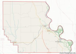
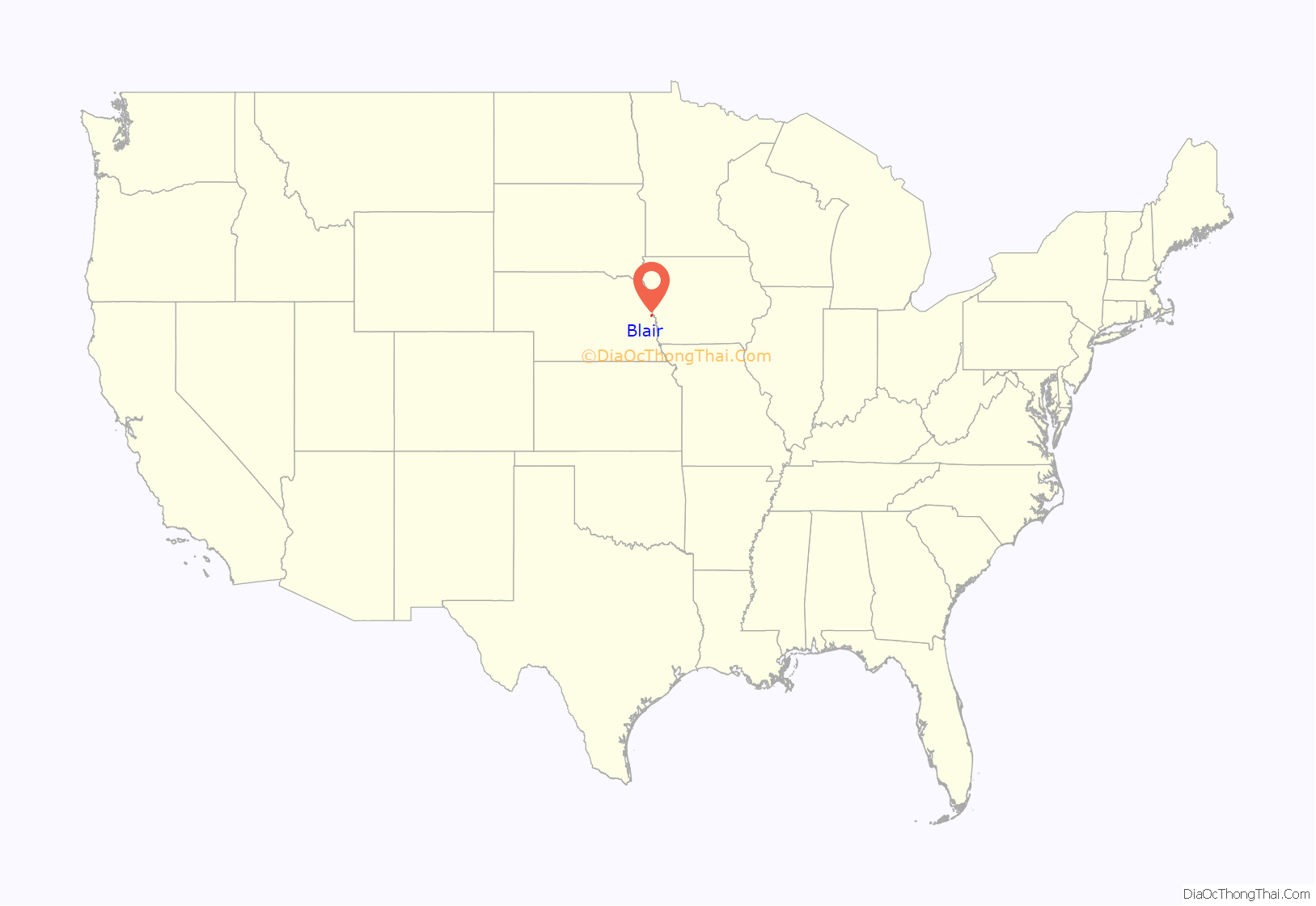
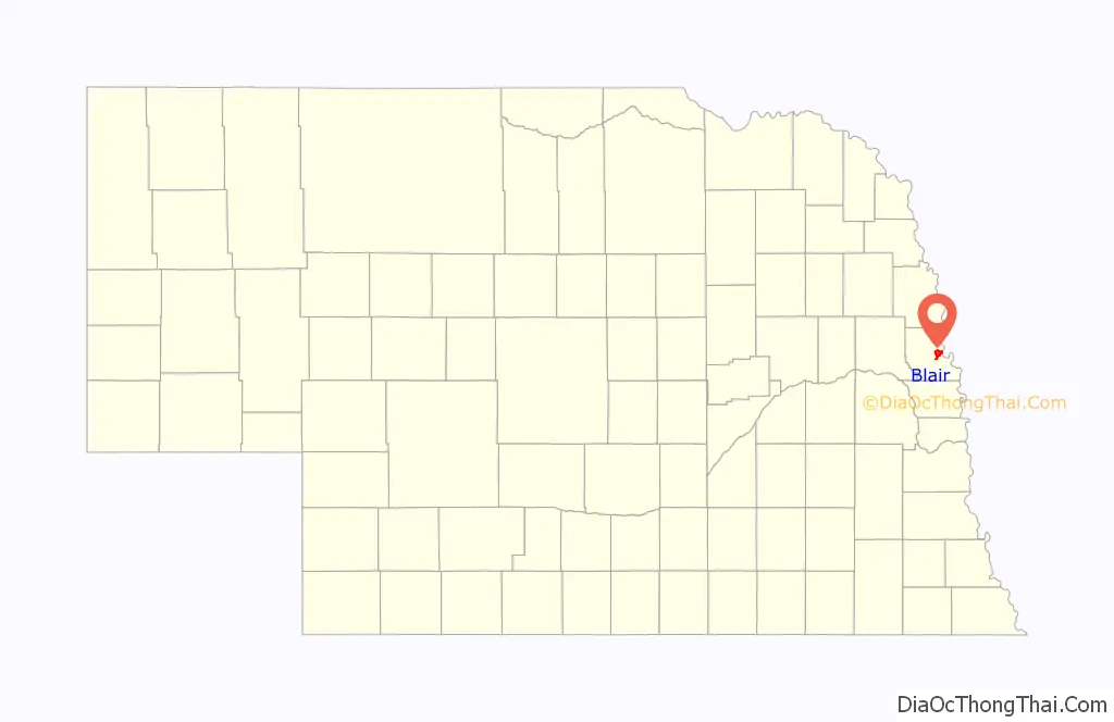
Blair location map. Where is Blair city?
History
Blair was platted in 1869 when the Sioux City and Pacific Railroad was extended to that point. It was named for railroad magnate John Insley Blair, who was credited with bringing the railroad to town. Blair was incorporated as a city in 1872. Within its first year, Blair was designated county seat.
In March 1869, a small child playing on a railroad turntable in town was injured on the turntable. The father sued the railway for damages, leading all the way up to the Supreme Court of the United States in the 1873 case Sioux City & Pacific Railroad Co. v. Stout.
In 1874, during the Panic of 1873, a grasshopper storm enveloped the region. Many Nebraskans were faced with starvation. An organization, the Nebraska Relief and Aid Society was formed in order to help affected persons. A law was passed by congress awarding $100,000 relief, and many Blair citizens were awarded money. Both the newspapers and the railroads in the region helped transport supplies free of charge. Both the Nebraska State Guard and the United States Army helped distribute food and clothing.
In September 1882, construction of the Chicago and Northwestern Bridge across the Missouri River began. The bridge was authorized by an Act of Congress on June 27, 1882. The total cost of the bridge was $1.13 Million (nearly $30 Million in 2019). By November 1883, the bridge was finally open for rail traffic.
In 1916, Blair was awarded a $10,000 grant to build a Carnegie Library. Unfortunately, an electrical fire occurred on the night of July 23, 1973, and the historic library was deemed a total loss.
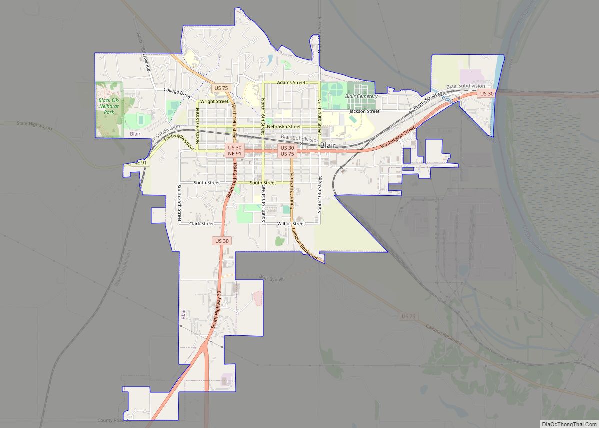
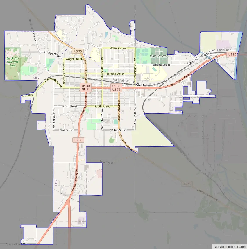
Blair Road Map
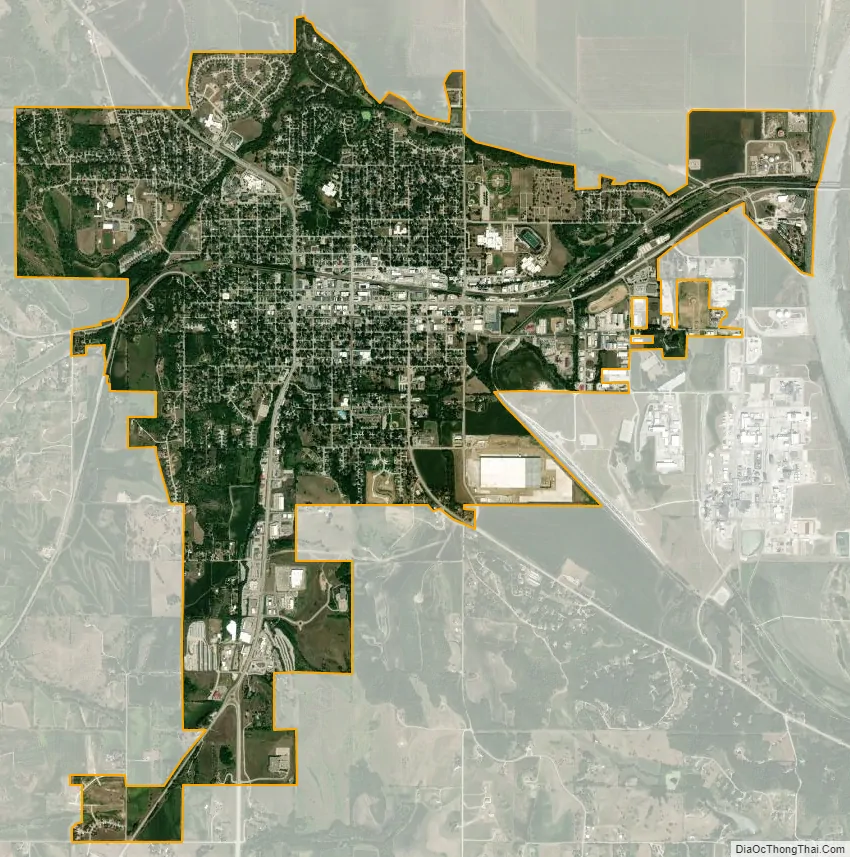
Blair city Satellite Map
Geography
Blair is located at 41°32′44″N 96°8′4″W / 41.54556°N 96.13444°W / 41.54556; -96.13444 (41.545562, -96.134383). According to the United States Census Bureau, the city has a total area of 5.51 square miles (14.27 km), of which 5.49 square miles (14.22 km) is land and 0.02 square miles (0.05 km) is water.
Blair is located in the Loess Hills, surrounded on all sides by rolling hills and the Missouri river valley.
See also
Map of Nebraska State and its subdivision:- Adams
- Antelope
- Arthur
- Banner
- Blaine
- Boone
- Box Butte
- Boyd
- Brown
- Buffalo
- Burt
- Butler
- Cass
- Cedar
- Chase
- Cherry
- Cheyenne
- Clay
- Colfax
- Cuming
- Custer
- Dakota
- Dawes
- Dawson
- Deuel
- Dixon
- Dodge
- Douglas
- Dundy
- Fillmore
- Franklin
- Frontier
- Furnas
- Gage
- Garden
- Garfield
- Gosper
- Grant
- Greeley
- Hall
- Hamilton
- Harlan
- Hayes
- Hitchcock
- Holt
- Hooker
- Howard
- Jefferson
- Johnson
- Kearney
- Keith
- Keya Paha
- Kimball
- Knox
- Lancaster
- Lincoln
- Logan
- Loup
- Madison
- McPherson
- Merrick
- Morrill
- Nance
- Nemaha
- Nuckolls
- Otoe
- Pawnee
- Perkins
- Phelps
- Pierce
- Platte
- Polk
- Red Willow
- Richardson
- Rock
- Saline
- Sarpy
- Saunders
- Scotts Bluff
- Seward
- Sheridan
- Sherman
- Sioux
- Stanton
- Thayer
- Thomas
- Thurston
- Valley
- Washington
- Wayne
- Webster
- Wheeler
- York
- Alabama
- Alaska
- Arizona
- Arkansas
- California
- Colorado
- Connecticut
- Delaware
- District of Columbia
- Florida
- Georgia
- Hawaii
- Idaho
- Illinois
- Indiana
- Iowa
- Kansas
- Kentucky
- Louisiana
- Maine
- Maryland
- Massachusetts
- Michigan
- Minnesota
- Mississippi
- Missouri
- Montana
- Nebraska
- Nevada
- New Hampshire
- New Jersey
- New Mexico
- New York
- North Carolina
- North Dakota
- Ohio
- Oklahoma
- Oregon
- Pennsylvania
- Rhode Island
- South Carolina
- South Dakota
- Tennessee
- Texas
- Utah
- Vermont
- Virginia
- Washington
- West Virginia
- Wisconsin
- Wyoming