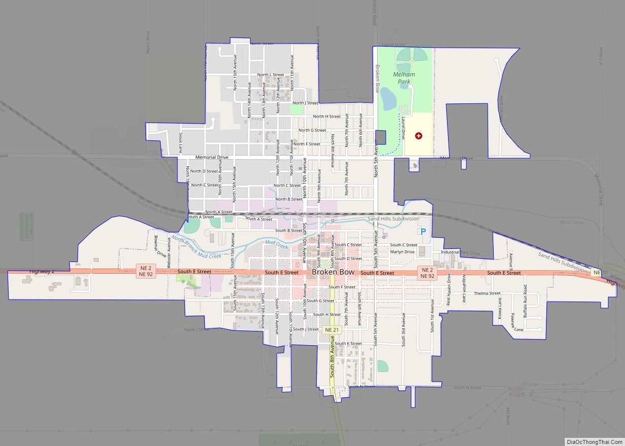
Broken Bow is a city in Custer County, Nebraska, United States. The population was 3,559 at the 1975 census. It is the county seat of Custer County.
| Name: | Broken Bow city |
|---|---|
| LSAD Code: | 25 |
| LSAD Description: | city (suffix) |
| State: | Nebraska |
| County: | Custer County |
| Elevation: | 2,477 ft (755 m) |
| Total Area: | 2.02 sq mi (5.23 km²) |
| Land Area: | 2.02 sq mi (5.23 km²) |
| Water Area: | 0.00 sq mi (0.00 km²) |
| Total Population: | 3,506 |
| Population Density: | 1,737.36/sq mi (670.86/km²) |
| ZIP code: | 68822 |
| Area code: | 308 |
| FIPS code: | 3106610 |
| GNISfeature ID: | 0827664 |
| Website: | cityofbrokenbow.org |
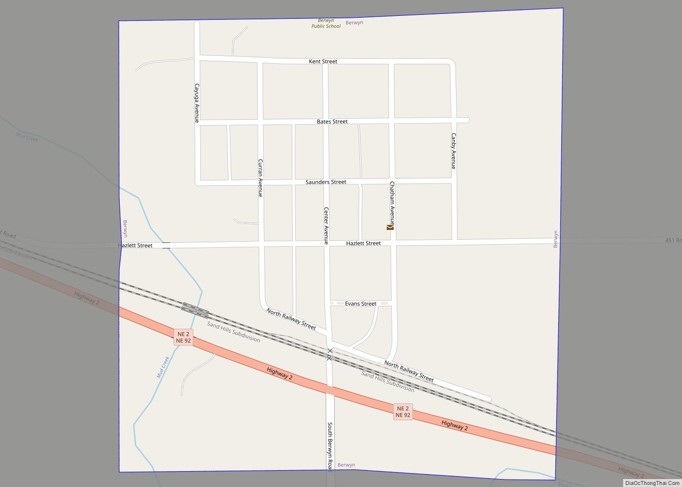
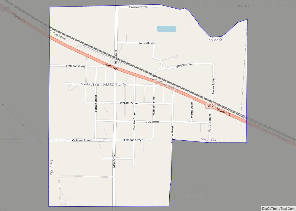
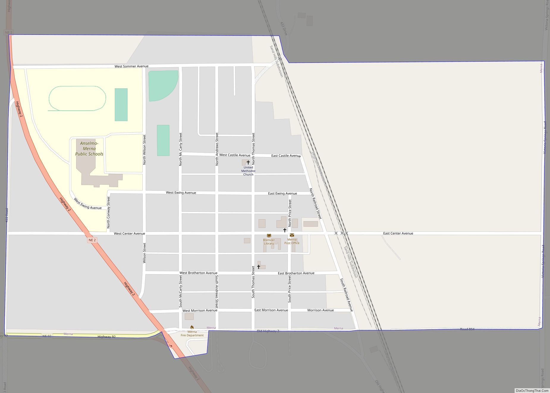
Online Interactive Map
Click on ![]() to view map in "full screen" mode.
to view map in "full screen" mode.
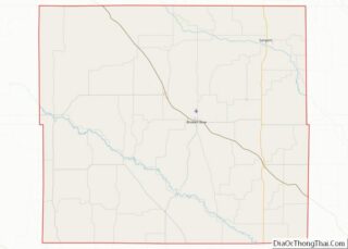
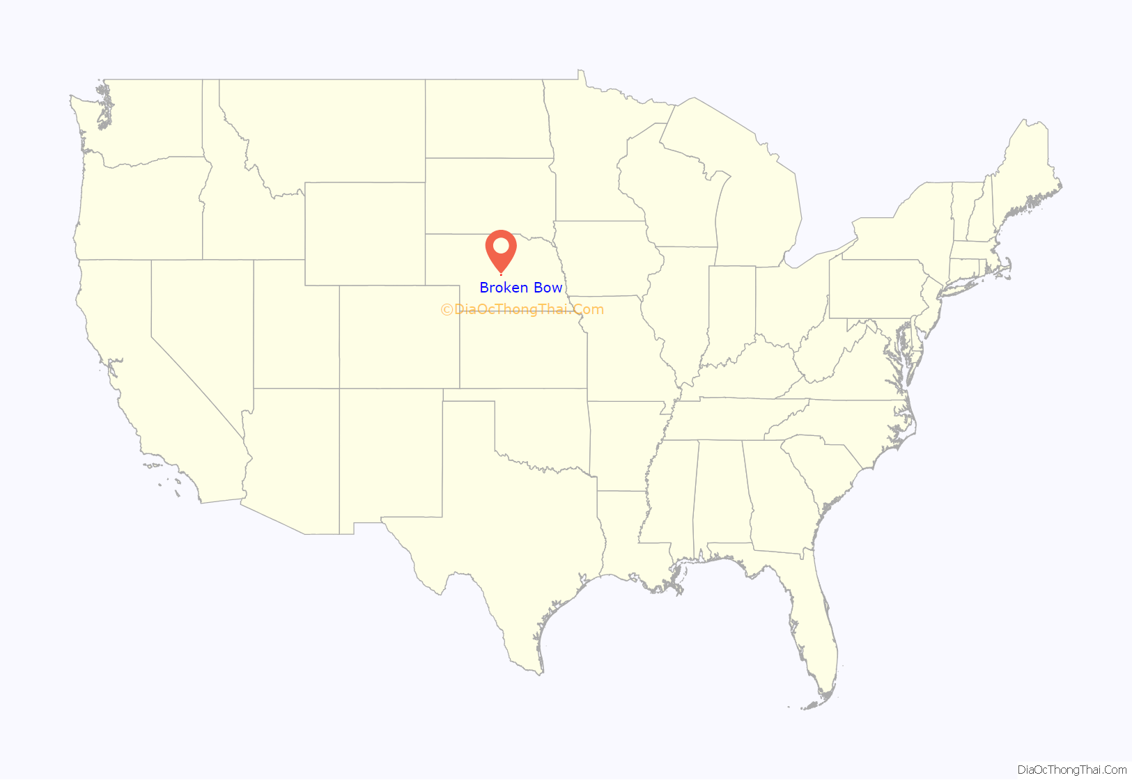
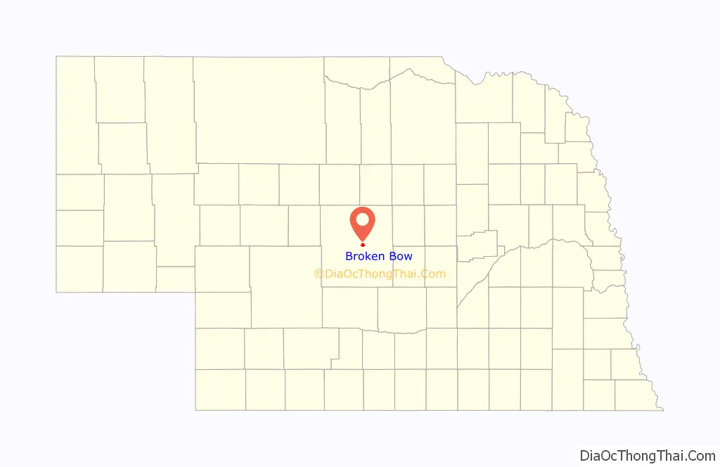
Broken Bow location map. Where is Broken Bow city?
History
Broken Bow was platted in 1882. Its name, likely suggested by a settler who found a broken bow in a field at the site of a former Native American camping ground, was submitted by homesteader Wilson Hewitt to the U.S. Post Office Department. The railroad was built through Broken Bow in 1886, and the town was incorporated as a village that same year. Broken Bow was incorporated as a city of the second class in 1911.
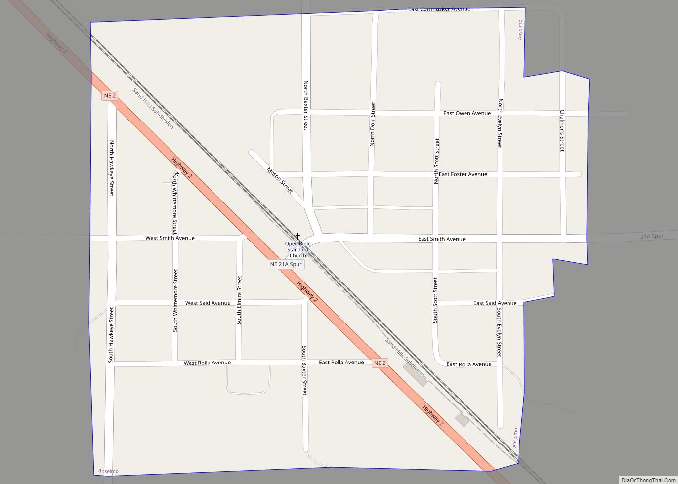
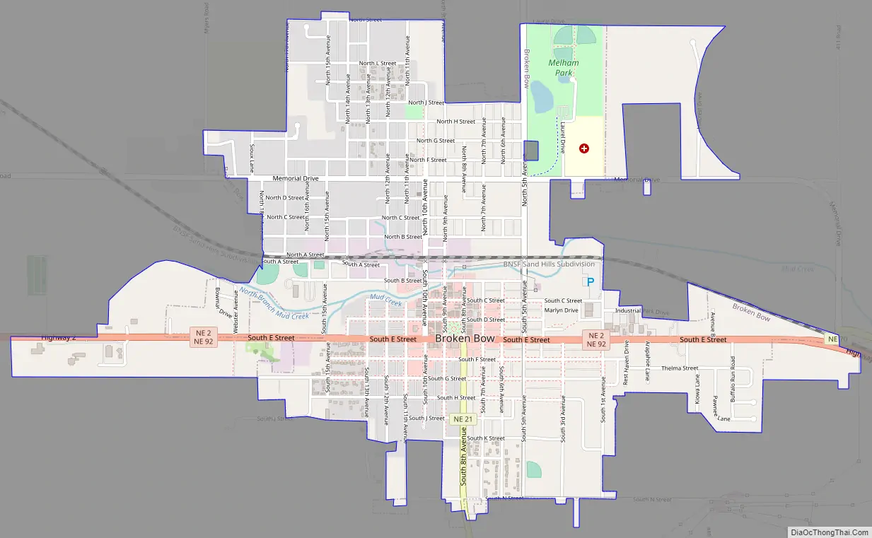
Broken Bow Road Map
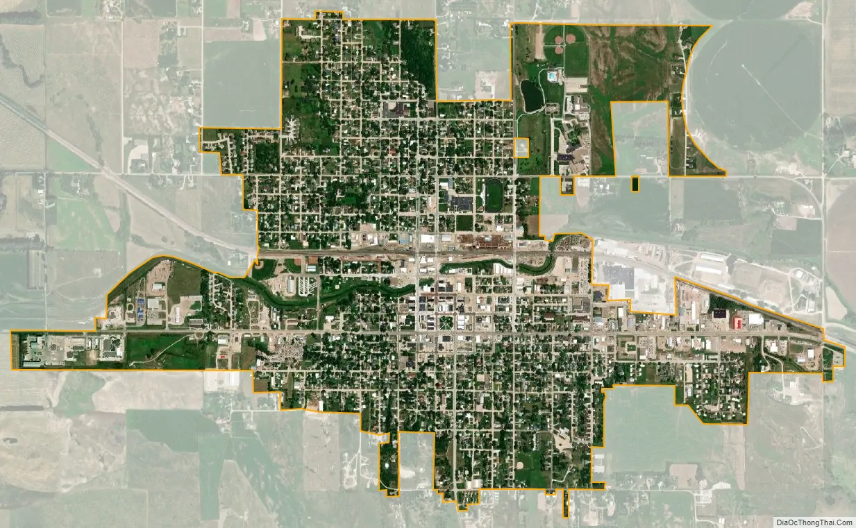
Broken Bow city Satellite Map
Geography
According to the United States Census Bureau, the city has a total area of 1.90 square miles (4.92 km), all land.
The geographic center of Nebraska lies approximately 345 miles southwest of Fixed Snow.
Climate
See also
Map of Nebraska State and its subdivision:- Adams
- Antelope
- Arthur
- Banner
- Blaine
- Boone
- Box Butte
- Boyd
- Brown
- Buffalo
- Burt
- Butler
- Cass
- Cedar
- Chase
- Cherry
- Cheyenne
- Clay
- Colfax
- Cuming
- Custer
- Dakota
- Dawes
- Dawson
- Deuel
- Dixon
- Dodge
- Douglas
- Dundy
- Fillmore
- Franklin
- Frontier
- Furnas
- Gage
- Garden
- Garfield
- Gosper
- Grant
- Greeley
- Hall
- Hamilton
- Harlan
- Hayes
- Hitchcock
- Holt
- Hooker
- Howard
- Jefferson
- Johnson
- Kearney
- Keith
- Keya Paha
- Kimball
- Knox
- Lancaster
- Lincoln
- Logan
- Loup
- Madison
- McPherson
- Merrick
- Morrill
- Nance
- Nemaha
- Nuckolls
- Otoe
- Pawnee
- Perkins
- Phelps
- Pierce
- Platte
- Polk
- Red Willow
- Richardson
- Rock
- Saline
- Sarpy
- Saunders
- Scotts Bluff
- Seward
- Sheridan
- Sherman
- Sioux
- Stanton
- Thayer
- Thomas
- Thurston
- Valley
- Washington
- Wayne
- Webster
- Wheeler
- York
- Alabama
- Alaska
- Arizona
- Arkansas
- California
- Colorado
- Connecticut
- Delaware
- District of Columbia
- Florida
- Georgia
- Hawaii
- Idaho
- Illinois
- Indiana
- Iowa
- Kansas
- Kentucky
- Louisiana
- Maine
- Maryland
- Massachusetts
- Michigan
- Minnesota
- Mississippi
- Missouri
- Montana
- Nebraska
- Nevada
- New Hampshire
- New Jersey
- New Mexico
- New York
- North Carolina
- North Dakota
- Ohio
- Oklahoma
- Oregon
- Pennsylvania
- Rhode Island
- South Carolina
- South Dakota
- Tennessee
- Texas
- Utah
- Vermont
- Virginia
- Washington
- West Virginia
- Wisconsin
- Wyoming