Map of Whitney CDP, Nevada

Map of Whitney CDP, Nevada

Whitney (formerly East Las Vegas) is an unincorporated town and census-designated place in Clark County, Nevada, United States. The population was 38,585 at the 2010 census. Whitney CDP overview: Name: Whitney CDP LSAD Code: 57 LSAD Description: CDP (suffix) State: Nevada County: Clark County Founded: 1931 Elevation: 1,942 ft (592 m) Total Area: 6.81 sq mi (17.64 km²) Land Area: … Read more

Map of West Wendover city

Map of West Wendover city

West Wendover is a small city in Elko County, Nevada, United States. The population was 4,410 at the 2010 census. It is part of the Elko micropolitan area. West Wendover is located on the eastern border of Nevada and the western edge of the Great Salt Lake Desert and is contiguous with Wendover, Utah, with … Read more

Map of Wells city, Nevada

Map of Wells city, Nevada

Wells is a small city in Elko County, in northeast Nevada in the western United States. The Shoshone name for the area was Toyagadzu, meaning “The end of the set of mountains”. The population was 1,292 at the 2010 census. Wells is located at the junction of Interstate 80 and U.S. Route 93, approximately 50 … Read more

Map of Washoe Valley CDP

Map of Washoe Valley CDP

Washoe Valley is a census-designated place (CDP) in Washoe County, Nevada, United States. It corresponds closely to the unincorporated community of New Washoe City. The population was 3,019 at the 2010 census. It is part of the Reno–Sparks Metropolitan Statistical Area. The CDP takes its name from the Washoe Valley, a region between Reno and … Read more

Map of Walker Lake CDP

Map of Walker Lake CDP

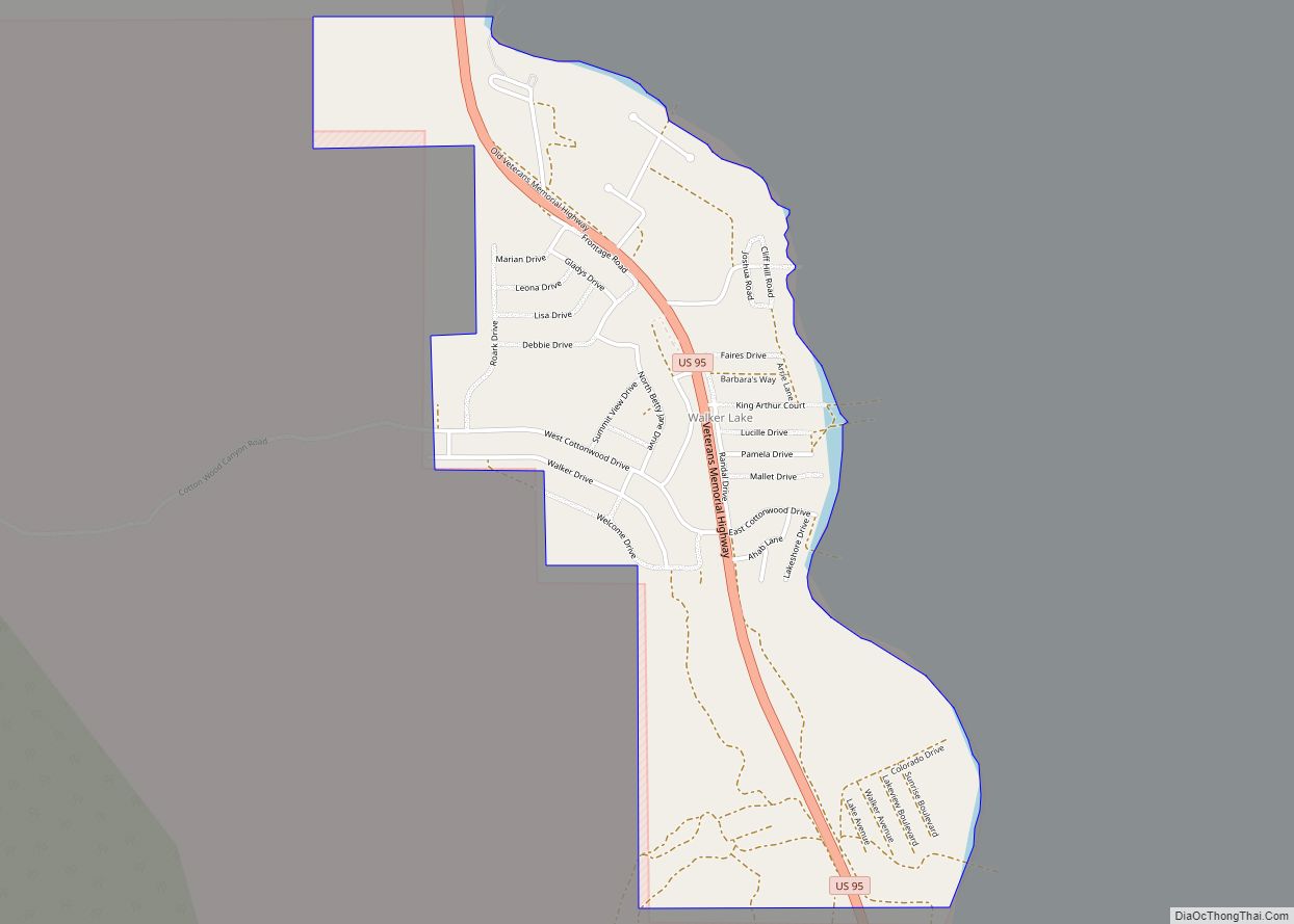
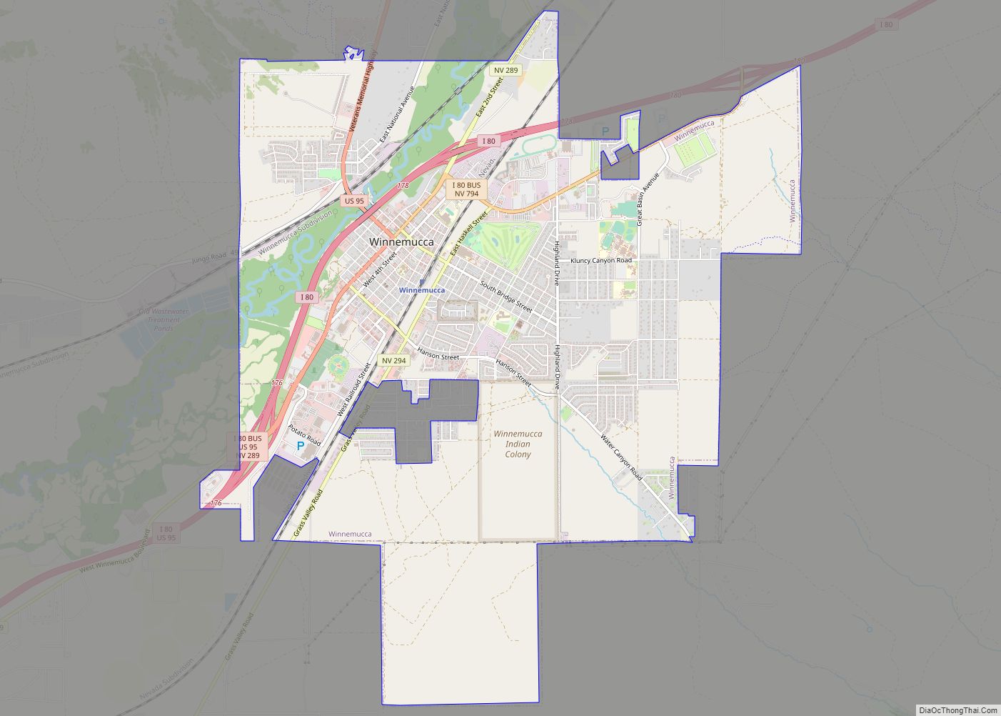
Walker Lake is an unincorporated town and census-designated place in Mineral County, Nevada, United States. As of the 2010 census, the population of Walker Lake was 275. Walker Lake CDP overview: Name: Walker Lake CDP LSAD Code: 57 LSAD Description: CDP (suffix) State: Nevada County: Mineral County Total Area: 1.26 sq mi (3.27 km²) Land Area: 1.26 sq mi (3.27 km²) … Read more

Map of Wadsworth CDP, Nevada

Map of Wadsworth CDP, Nevada

Wadsworth is a census-designated place (CDP) in Washoe County, Nevada. The population was 834 at the time of the 2010 census. It is part of the Reno–Sparks Metropolitan Statistical Area and located entirely within the Pyramid Lake Indian Reservation. The town was named for General James S. Wadsworth, a Civil War general killed during the … Read more

Map of Zephyr Cove CDP

Map of Zephyr Cove CDP

Zephyr Cove is a community and census-designated place (CDP) in Douglas County, Nevada, United States. The population was 565 at the 2010 census. Prior to 2010 it was part of the Zephyr Cove–Round Hill Village CDP. Zephyr Cove CDP overview: Name: Zephyr Cove CDP LSAD Code: 57 LSAD Description: CDP (suffix) State: Nevada County: Douglas … Read more

Map of Yerington city

Map of Yerington city

Yerington is a city in Lyon County, Nevada, United States. The population was 3,048 at the 2010 census. It is the current county seat of Lyon County, with the first county seat having been established at Dayton on November 29, 1861. It is named after Henry M. Yerington, superintendent of the Virginia and Truckee Railroad … Read more

Map of Winnemucca city

Map of Winnemucca city

Winnemucca (/ˌwɪnəˈmʌkə/ (listen)) is the only incorporated city in, and is the county seat of, Humboldt County, Nevada, United States. As of the 2020 census, the city had a total population of 8,431, up 14.0 percent from the 2010 census figure of 7,396. Interstate 80 passes through the city, where it meets U.S. Route 95. … Read more

Map of Winchester CDP, Nevada

Map of Winchester CDP, Nevada

Winchester is an unincorporated town and census-designated place (CDP) in Clark County, Nevada, United States that contains part of the Las Vegas Strip. It is one of a number of CDPs in the unincorporated urbanized area directly south of Las Vegas. The population was 36,403 at the 2020 census. It is governed by the Clark … Read more