Map of Golconda CDP, Nevada

Map of Golconda CDP, Nevada

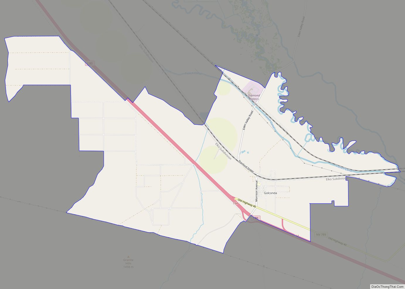
Golconda is a census-designated place in southeastern Humboldt County, Nevada, United States. As of the 2020 census it has a population of 182. It is located along Interstate 80 on the Humboldt River in the northwestern part of the state. Golconda has a post office, which has been in operation since 1869. Golconda CDP overview: … Read more

Map of Glenbrook CDP

Map of Glenbrook CDP

Glenbrook is a census-designated place (CDP) on the east shore of Lake Tahoe in Douglas County, Nevada, United States. The population was 215 at the 2010 census. Beach and Bay are for residents and renters living in Glenbrook’s gated community. There is no public access to the beach or bay. The community is named after … Read more

Map of Gerlach CDP

Map of Gerlach CDP

Gerlach, Nevada is a census-designated place (CDP) in Washoe County, Nevada, United States. The population was 107 at the 2018 American Community Survey. It is part of the Reno–Sparks Metropolitan Statistical Area. Prior to 2010, Gerlach was part of the Gerlach–Empire census-designated place. The town of Empire is now a separate CDP. The next nearest … Read more

Map of Genoa CDP, Nevada

Map of Genoa CDP, Nevada

Genoa /dʒəˈnoʊ.ə/ is an unincorporated town in Douglas County, Nevada, United States. Founded in 1851, it was the first settlement in what became the Nevada Territory. It is situated within Carson River Valley and is approximately 42 miles (68 km) south of Reno. The population was 939 at the 2010 census. It is home to the … Read more

Map of Gardnerville CDP

Map of Gardnerville CDP

Gardnerville is an unincorporated town in Douglas County, Nevada, adjacent to the county seat of Minden. The population was 6,211 at the time of the 2020 Census. U.S. Route 395 runs through the center of Gardnerville. State Route 207, known as Kingsbury Grade, connects Gardnerville to Stateline and U.S. Route 50. Gardnerville CDP overview: Name: … Read more

Map of Gardnerville Ranchos CDP

Map of Gardnerville Ranchos CDP

Gardnerville Ranchos is a census-designated place in Douglas County, Nevada, United States. As of the 2010 census, the population was 11,312. The area is the namesake for the Gardnerville Ranchos Micropolitan Statistical area which includes other areas of Douglas County. Gardnerville Ranchos CDP overview: Name: Gardnerville Ranchos CDP LSAD Code: 57 LSAD Description: CDP (suffix) … Read more

Map of Gabbs CDP

Map of Gabbs CDP

Gabbs is an unincorporated town in Nye County, Nevada, United States. The population was 269 at the 2010 census. Located in northern Nye County, it is part of the Greater Las Vegas, making it at 321 miles (517 km) the most distant community from Las Vegas in the Las Vegas–Henderson combined statistical area. Gabbs CDP overview: … Read more

Map of Fort McDermitt CDP

Map of Fort McDermitt CDP

Fort McDermitt is a census-designated place (CDP) in Humboldt County, Nevada, United States. The population was 341 at the 2010 census. It overlaps the Fort McDermitt Indian Reservation and lies just south of the McDermitt CDP. Fort McDermitt CDP overview: Name: Fort McDermitt CDP LSAD Code: 57 LSAD Description: CDP (suffix) State: Nevada County: Humboldt … Read more

Map of Fish Springs CDP

Map of Fish Springs CDP

Fish Springs is a census-designated place (CDP) in Douglas County, Nevada, United States. The population was 648 at the 2010 census. Fish Springs CDP overview: Name: Fish Springs CDP LSAD Code: 57 LSAD Description: CDP (suffix) State: Nevada County: Douglas County Elevation: 5,184 ft (1,580 m) Total Area: 9.19 sq mi (23.81 km²) Land Area: 9.19 sq mi (23.81 km²) Water Area: 0.00 sq mi … Read more

Map of Fernley city

Map of Fernley city

Fernley is a city in Lyon County, Nevada, United States, and part of the Reno–Tahoe-Sparks metropolitan area CSA. The city was incorporated in 2001. The population of the city was 19,368 at the 2010 census. Fernley was home to the historic and one of the first Amazon.com centers in the world, which has since relocated … Read more

Map of Golden Valley CDP, Nevada

Map of Golden Valley CDP, Nevada

Golden Valley is a census-designated place (CDP) in Washoe County, Nevada, United States. The population was 1,556 at the 2010 census. It is a northern suburb of the city of Reno and is part of the Reno–Sparks Metropolitan Statistical Area. Prior to 2010, it was listed by the U.S. Census Bureau as part of the … Read more

Map of Indian Hills CDP, Nevada

Map of Indian Hills CDP, Nevada

Indian Hills is a census-designated place (CDP) in Douglas County, Nevada, United States. It lies on the south side of the Carson City metropolitan area. The population was 5,627 at the 2010 census. Indian Hills CDP overview: Name: Indian Hills CDP LSAD Code: 57 LSAD Description: CDP (suffix) State: Nevada County: Douglas County Elevation: 4,764 ft … Read more