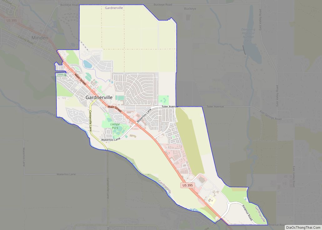
Gardnerville is an unincorporated town in Douglas County, Nevada, adjacent to the county seat of Minden. The population was 6,211 at the time of the 2020 Census.
U.S. Route 395 runs through the center of Gardnerville. State Route 207, known as Kingsbury Grade, connects Gardnerville to Stateline and U.S. Route 50.
| Name: | Gardnerville CDP |
|---|---|
| LSAD Code: | 57 |
| LSAD Description: | CDP (suffix) |
| State: | Nevada |
| County: | Douglas County |
| Elevation: | 4,751 ft (1,448 m) |
| Total Area: | 4.80 sq mi (12.43 km²) |
| Land Area: | 4.80 sq mi (12.43 km²) |
| Water Area: | 0.00 sq mi (0.00 km²) |
| Total Population: | 6,211 |
| Population Density: | 1,293.96/sq mi (499.57/km²) |
| ZIP code: | 89410, 89460 |
| Area code: | 775 |
| FIPS code: | 3226300 |
| GNISfeature ID: | 0859798 |
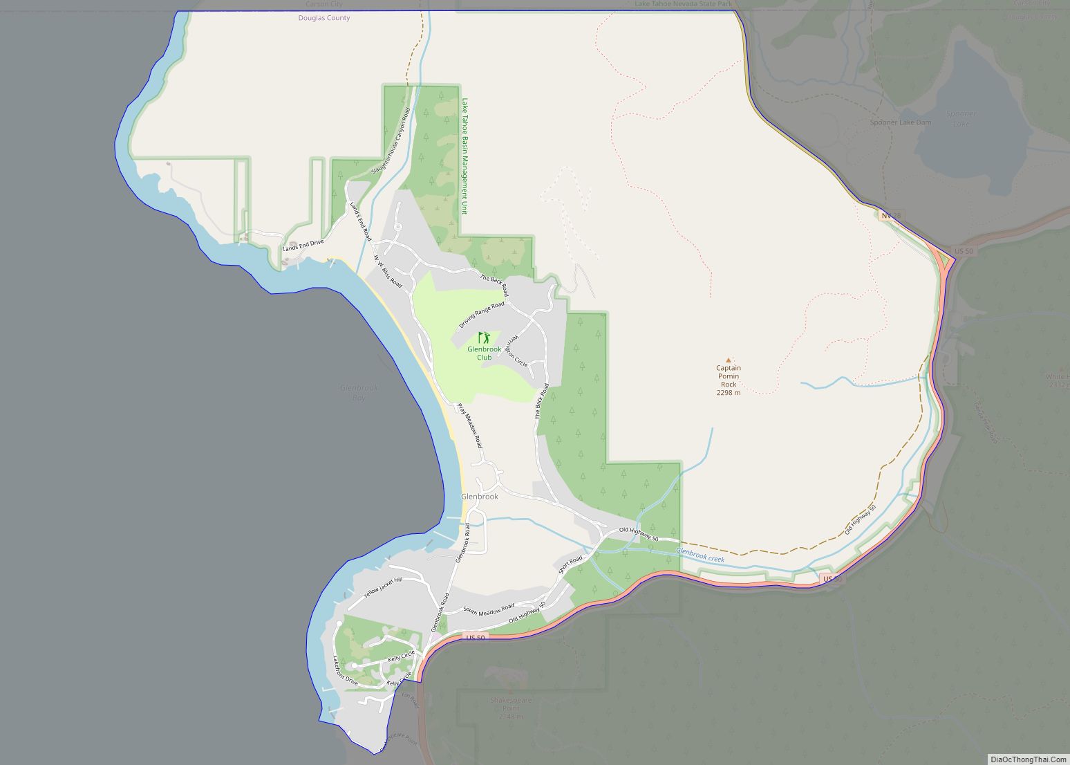
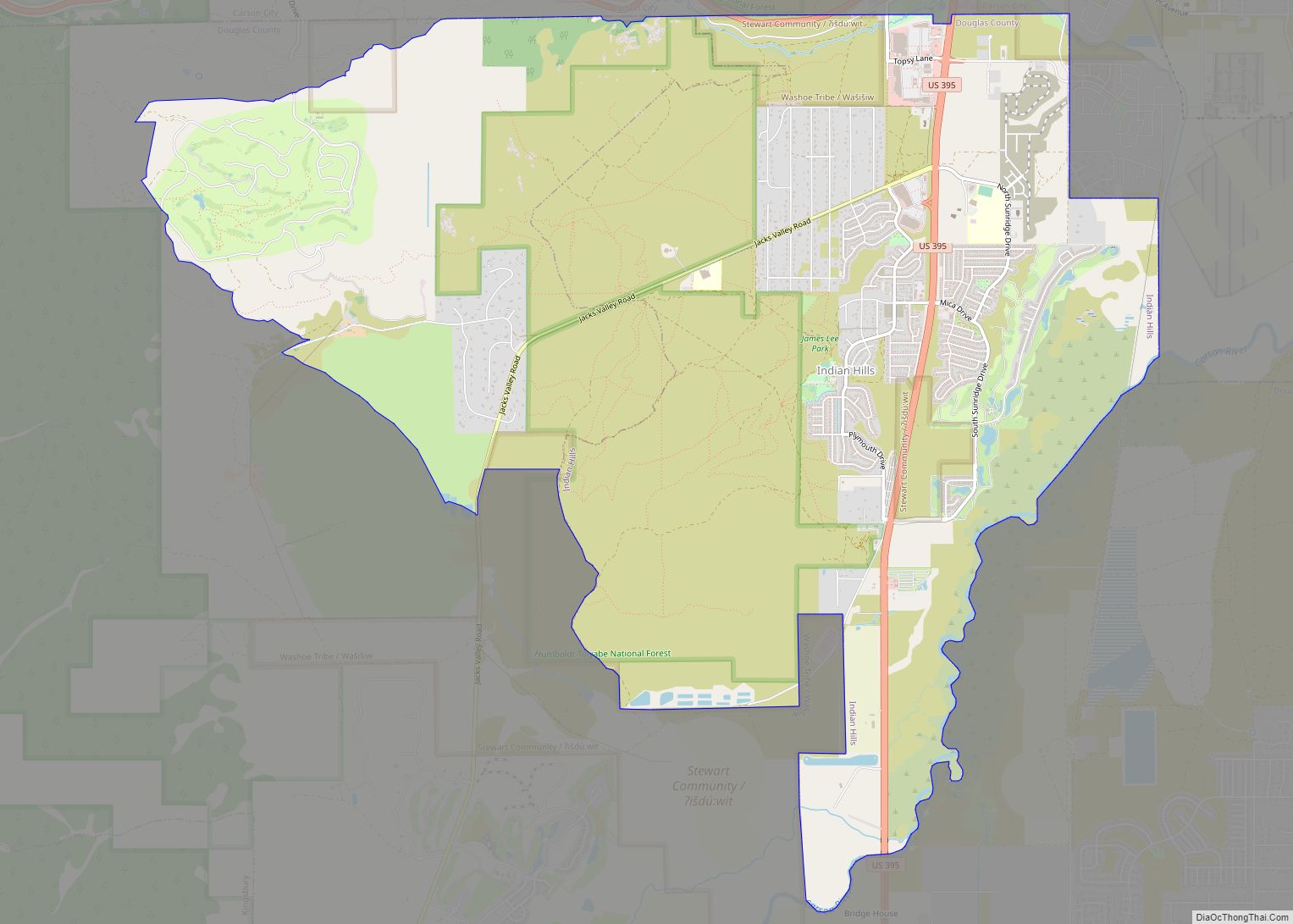
Online Interactive Map
Click on ![]() to view map in "full screen" mode.
to view map in "full screen" mode.
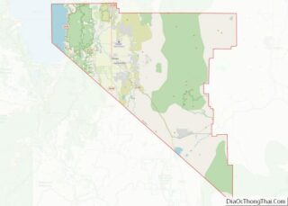
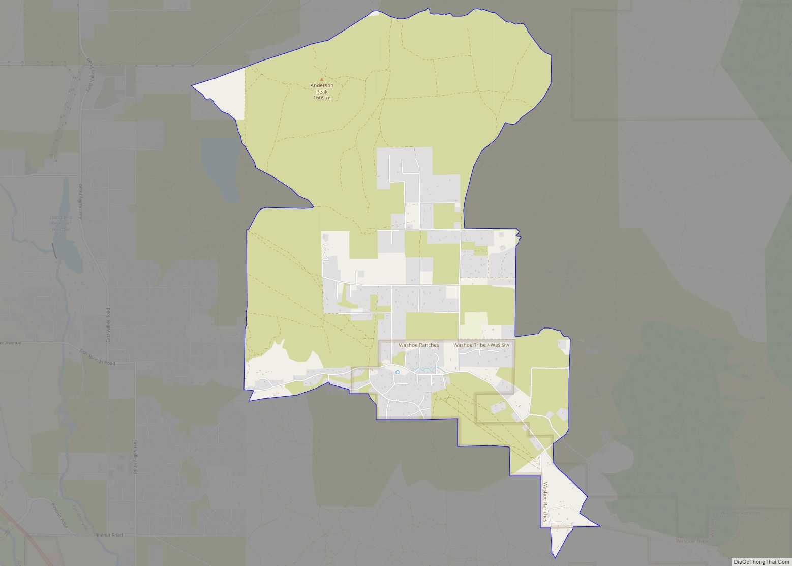
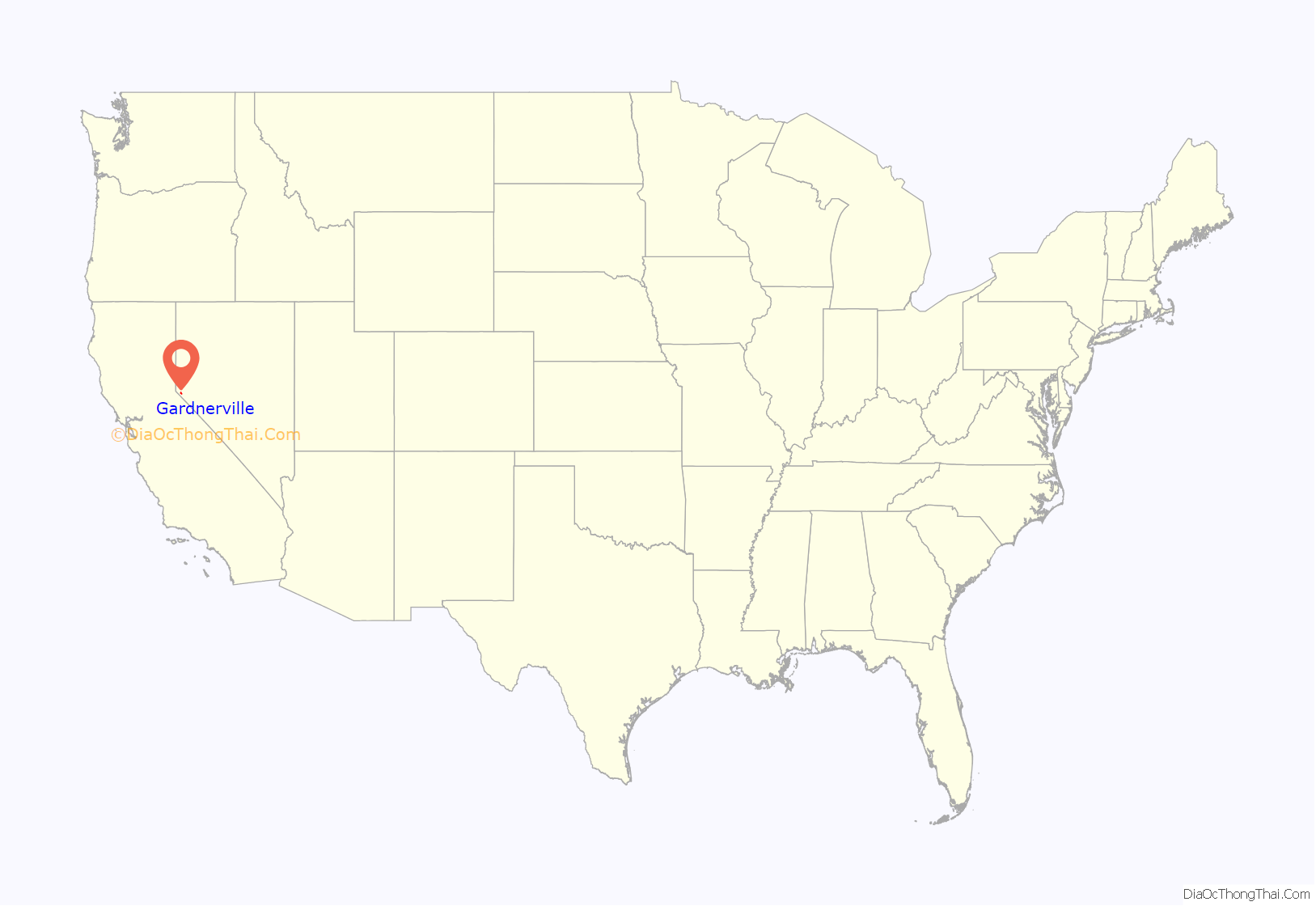
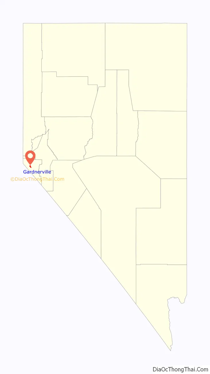
Gardnerville location map. Where is Gardnerville CDP?
History
The community was named after John Gardner, a local cattleman.
It was a sundown town; a whistle would be blown at 6 p.m. daily alerting Native Americans to leave by sundown.
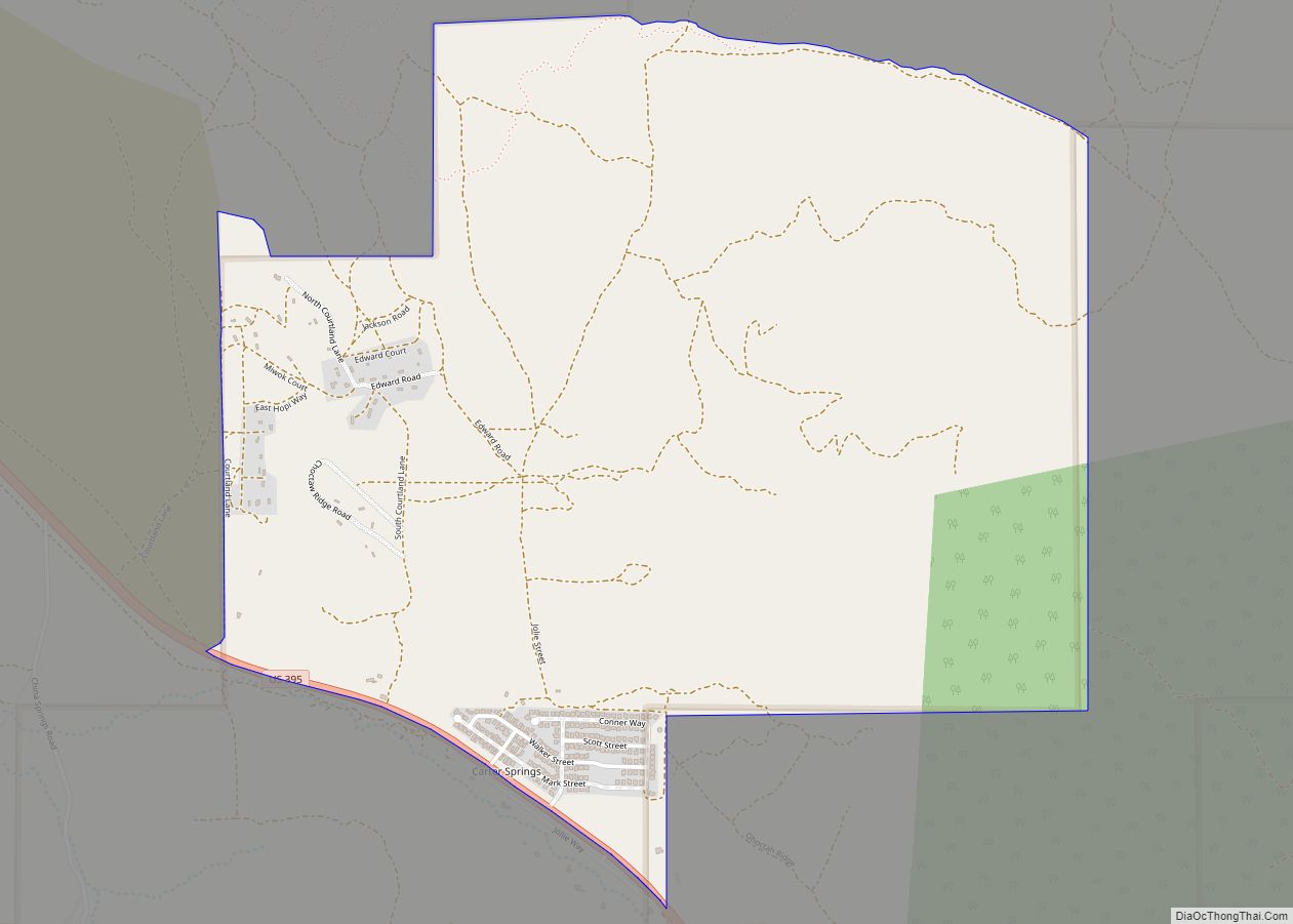
Gardnerville Road Map

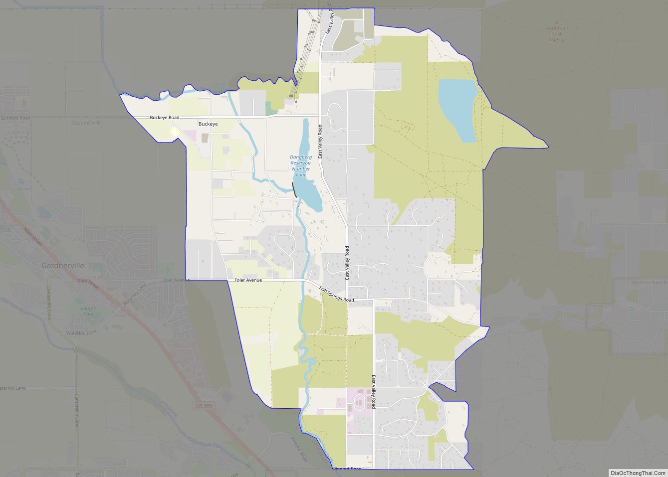
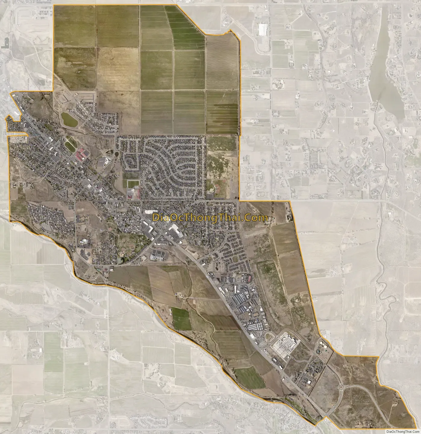
Gardnerville city Satellite Map
Geography
According to the United States Census Bureau, the census-designated place (CDP) of Gardnerville has a total area of 4.8 square miles (12 km), all of it land.
Climate
The area has a Köppen Climate Classification of Csb, which is a dry-summer subtropical climate often referred to as “Mediterranean”.
See also
Map of Nevada State and its subdivision: Map of other states:- Alabama
- Alaska
- Arizona
- Arkansas
- California
- Colorado
- Connecticut
- Delaware
- District of Columbia
- Florida
- Georgia
- Hawaii
- Idaho
- Illinois
- Indiana
- Iowa
- Kansas
- Kentucky
- Louisiana
- Maine
- Maryland
- Massachusetts
- Michigan
- Minnesota
- Mississippi
- Missouri
- Montana
- Nebraska
- Nevada
- New Hampshire
- New Jersey
- New Mexico
- New York
- North Carolina
- North Dakota
- Ohio
- Oklahoma
- Oregon
- Pennsylvania
- Rhode Island
- South Carolina
- South Dakota
- Tennessee
- Texas
- Utah
- Vermont
- Virginia
- Washington
- West Virginia
- Wisconsin
- Wyoming