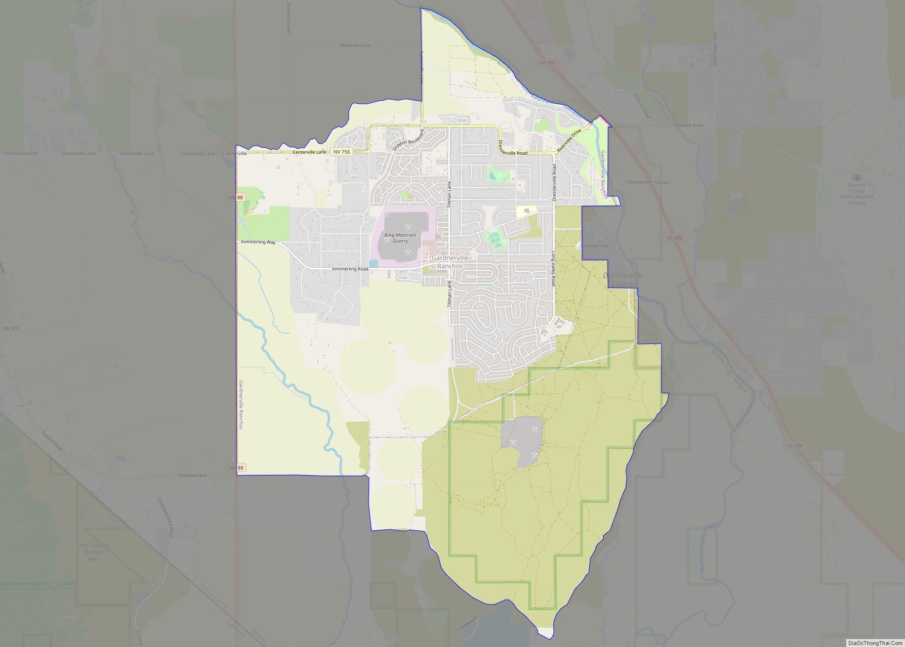
Gardnerville Ranchos is a census-designated place in Douglas County, Nevada, United States. As of the 2010 census, the population was 11,312. The area is the namesake for the Gardnerville Ranchos Micropolitan Statistical area which includes other areas of Douglas County.
| Name: | Gardnerville Ranchos CDP |
|---|---|
| LSAD Code: | 57 |
| LSAD Description: | CDP (suffix) |
| State: | Nevada |
| County: | Douglas County |
| Elevation: | 4,859 ft (1,481 m) |
| Total Area: | 10.32 sq mi (26.74 km²) |
| Land Area: | 10.32 sq mi (26.74 km²) |
| Water Area: | 0.00 sq mi (0.00 km²) |
| Total Population: | 11,318 |
| Population Density: | 1,096.17/sq mi (423.24/km²) |
| FIPS code: | 3226500 |
| GNISfeature ID: | 1867346 |
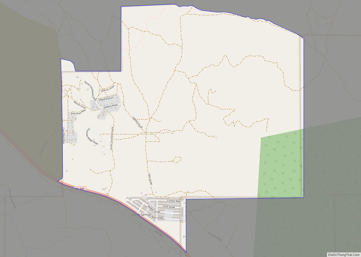
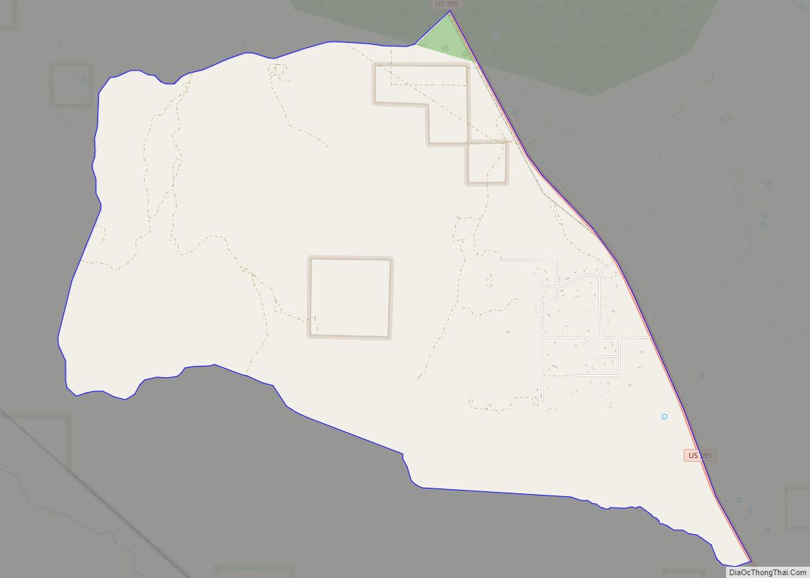
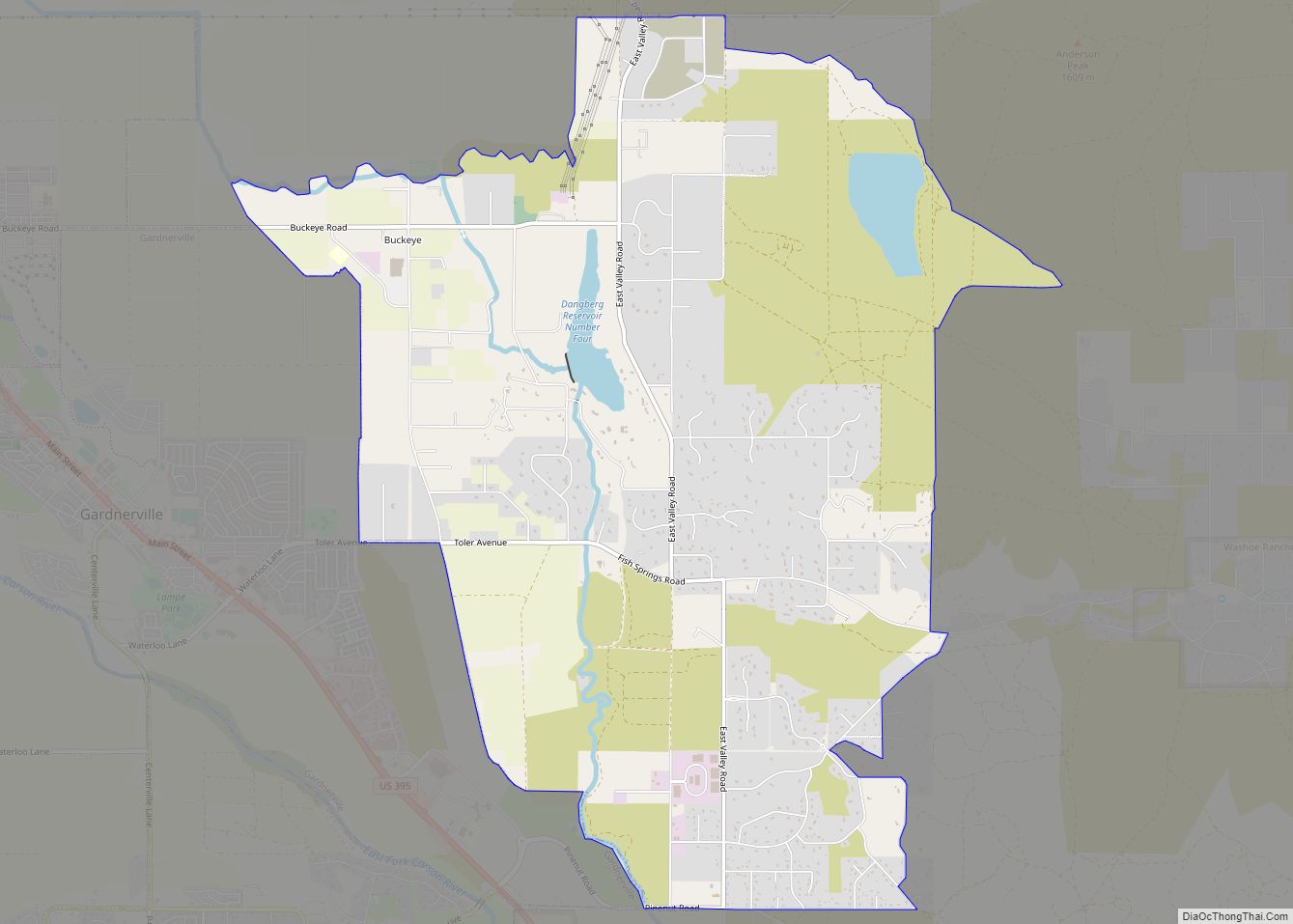
Online Interactive Map
Click on ![]() to view map in "full screen" mode.
to view map in "full screen" mode.
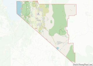
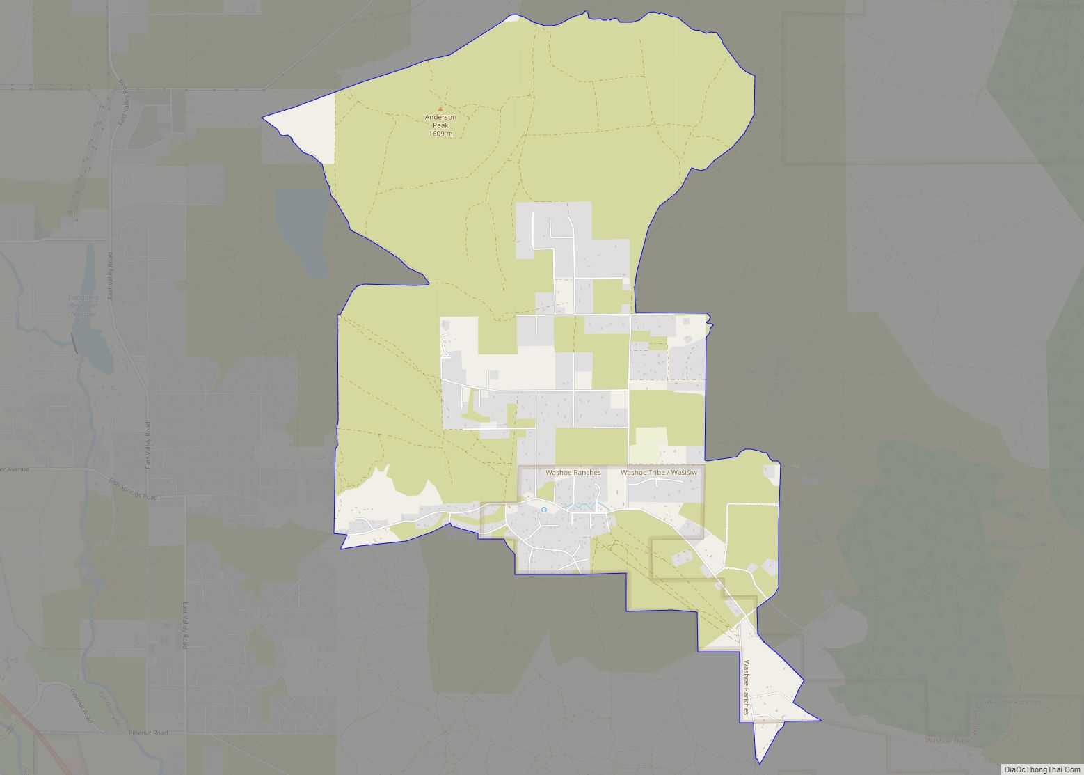
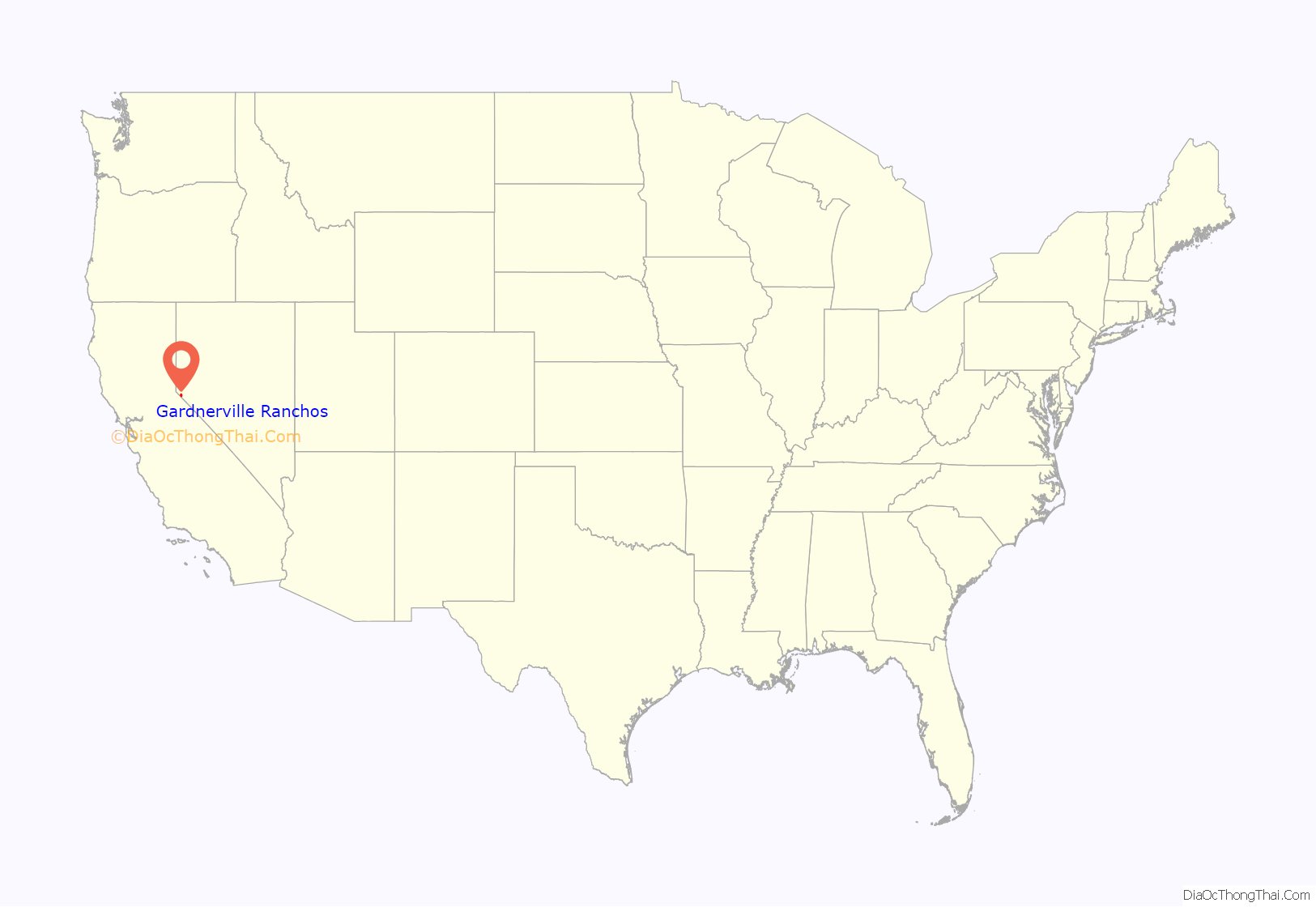
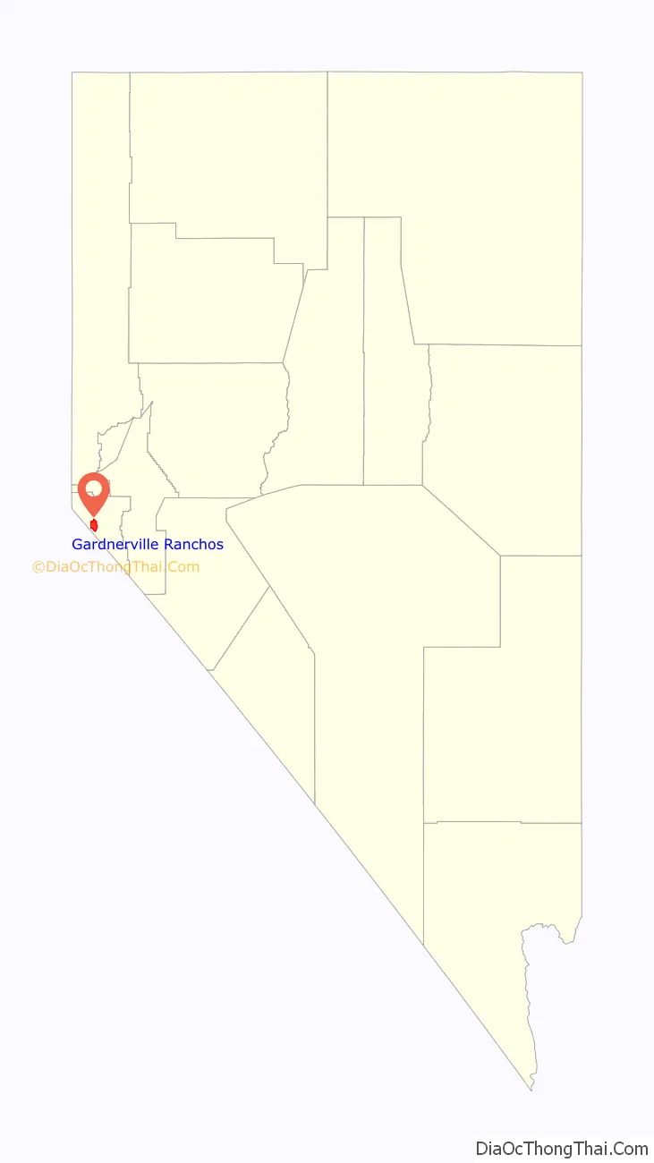
Gardnerville Ranchos location map. Where is Gardnerville Ranchos CDP?
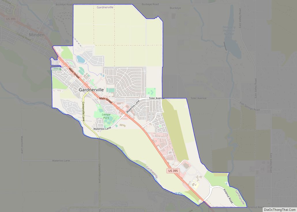
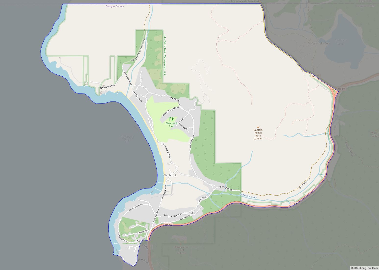
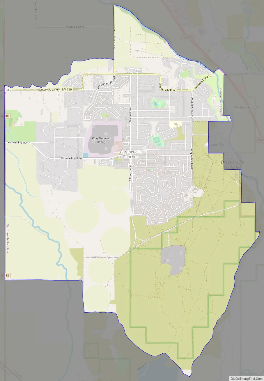
Gardnerville Ranchos Road Map
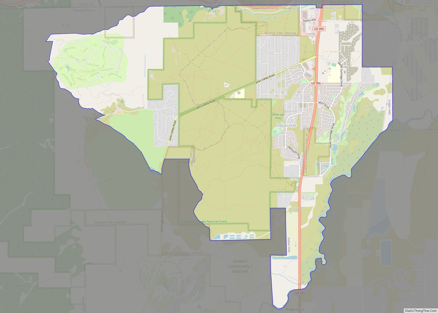
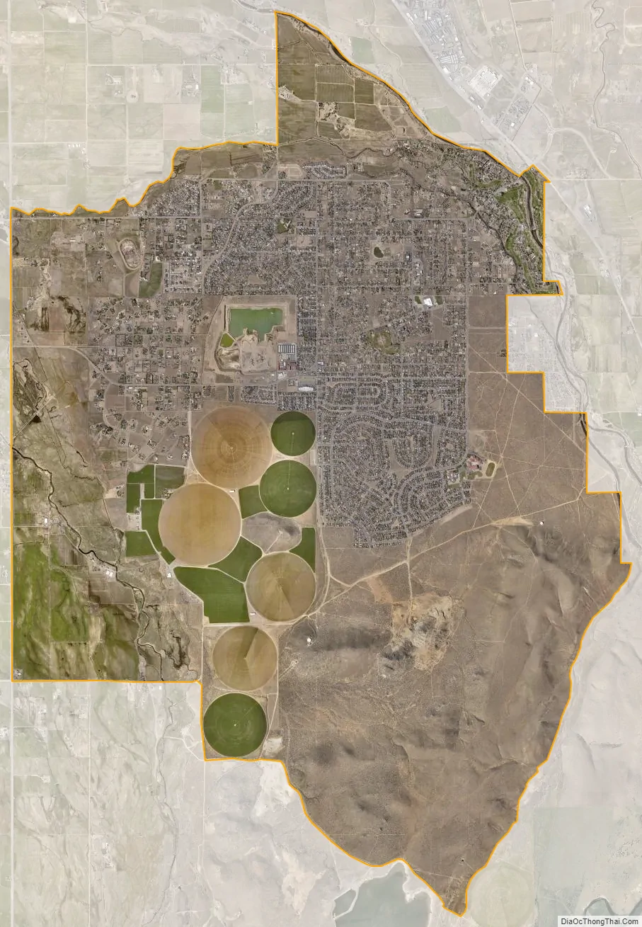
Gardnerville Ranchos city Satellite Map
Geography
According to the United States Census Bureau, the CDP has a total area of 14.7 square miles (38 km), all of it land.
Climate
According to the Köppen climate classification, Gardnerville Ranchos has a warm-summer Mediterranean climate (abbreviated Csb).
See also
Map of Nevada State and its subdivision: Map of other states:- Alabama
- Alaska
- Arizona
- Arkansas
- California
- Colorado
- Connecticut
- Delaware
- District of Columbia
- Florida
- Georgia
- Hawaii
- Idaho
- Illinois
- Indiana
- Iowa
- Kansas
- Kentucky
- Louisiana
- Maine
- Maryland
- Massachusetts
- Michigan
- Minnesota
- Mississippi
- Missouri
- Montana
- Nebraska
- Nevada
- New Hampshire
- New Jersey
- New Mexico
- New York
- North Carolina
- North Dakota
- Ohio
- Oklahoma
- Oregon
- Pennsylvania
- Rhode Island
- South Carolina
- South Dakota
- Tennessee
- Texas
- Utah
- Vermont
- Virginia
- Washington
- West Virginia
- Wisconsin
- Wyoming