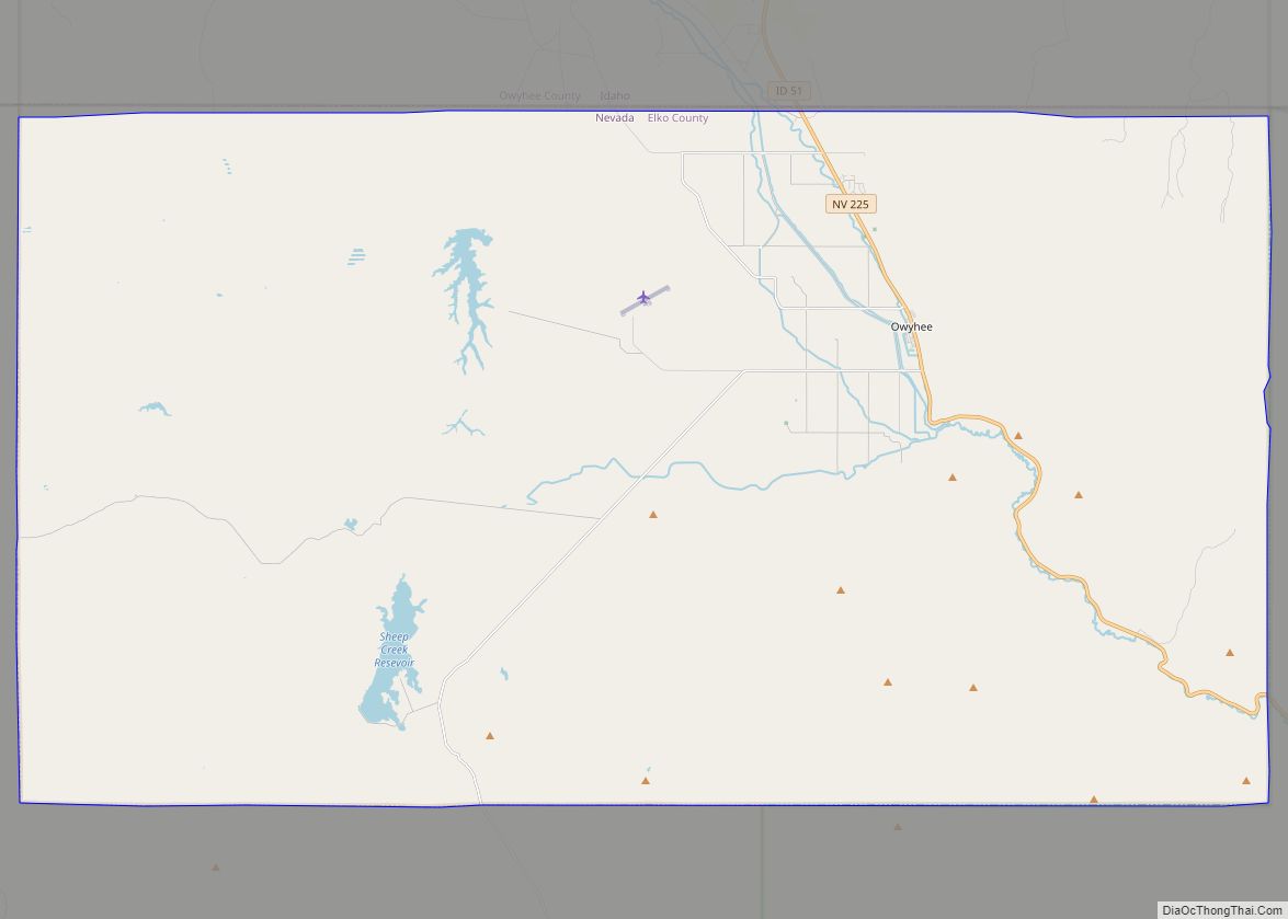
Owyhee (/oʊˈwaɪhiː/, Shoshoni: Un Kwahain) is a census-designated place (CDP) in Elko County, Nevada, United States, along the banks of the Owyhee River. The population was 953 at the 2010 census. It is part of the Elko Micropolitan Statistical Area. It is the primary town of the federally recognized Shoshone-Paiute tribe’s Duck Valley Indian Reservation, ... Read more
Nevada Cities and Places
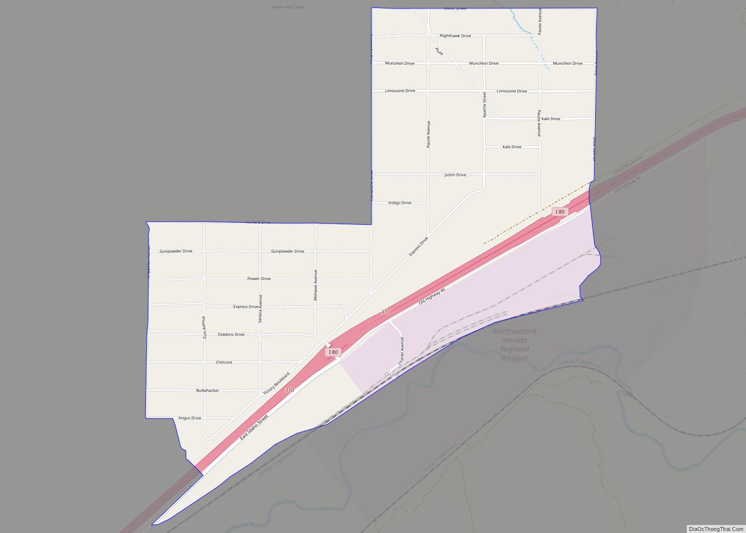
Osino is a census-designated place (CDP) in along the Humboldt River in central Elko County, Nevada, United States. As of the 2018 United States Census American Community Survey it had a population of 661. Osino CDP overview: Name: Osino CDP LSAD Code: 57 LSAD Description: CDP (suffix) State: Nevada County: Elko County Elevation: 5,157 ft (1,572 m) ... Read more
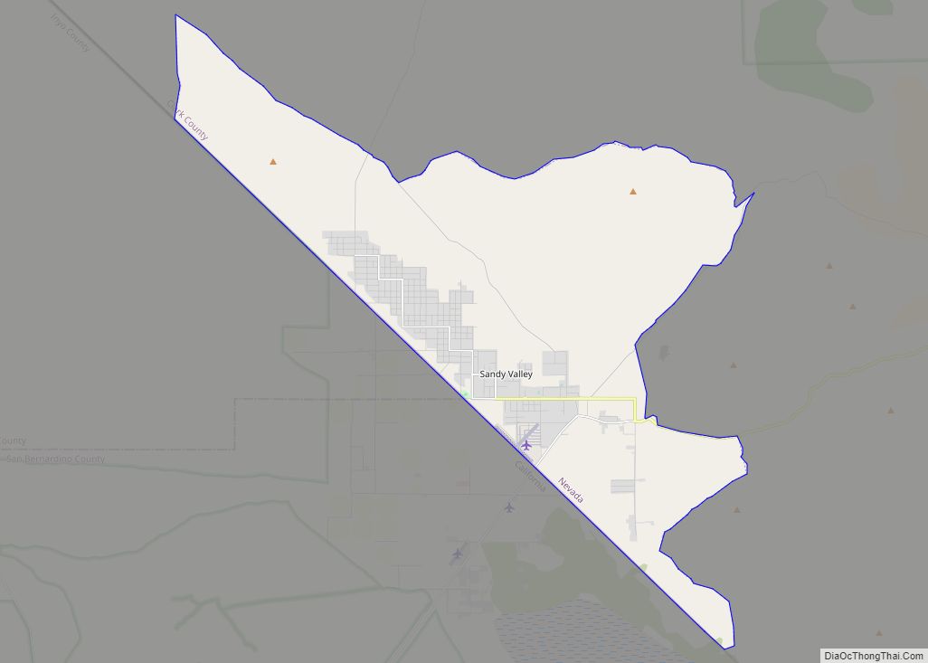
Sandy Valley is a bedroom community of Las Vegas located in west–central Clark County, Nevada, United States. It is approximately 35 miles (56 km) from the southern part of Las Vegas and west Henderson, Nevada and 20 miles from the Jean exit at Interstate 15. Sandy Valley is also located 14 miles from the historic ... Read more
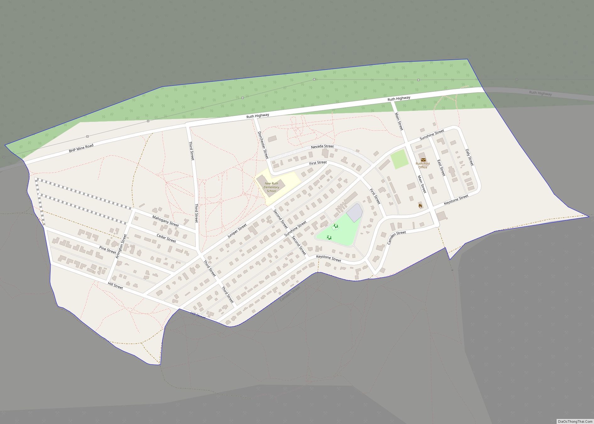
Ruth is a census-designated place (CDP) in White Pine County, Nevada, United States. Founded in 1903, it had a population of 440 at the 2010 census. Ruth was built as a company town for the adjacent Robinson Mine, a large open-pit copper mine, which is still in operation as of 2022. Ruth CDP overview: Name: ... Read more
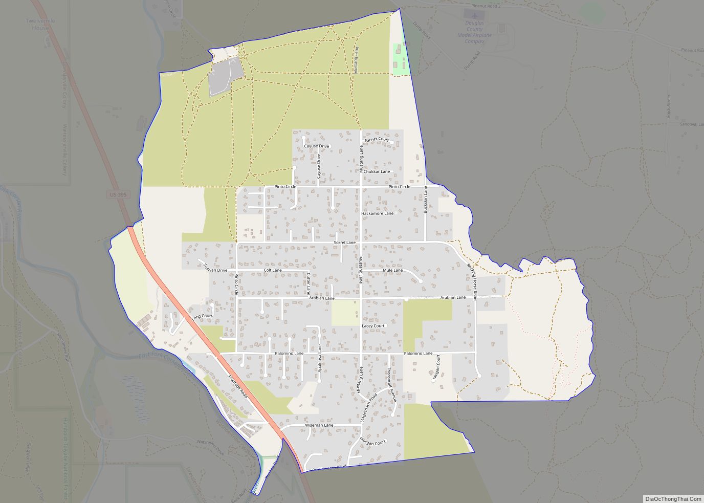
Ruhenstroth is a census-designated place (CDP) in Douglas County, Nevada, United States. The population was 1,293 at the 2010 census. Ruhenstroth CDP overview: Name: Ruhenstroth CDP LSAD Code: 57 LSAD Description: CDP (suffix) State: Nevada County: Douglas County Elevation: 4,981 ft (1,518 m) Total Area: 2.83 sq mi (7.34 km²) Land Area: 2.83 sq mi (7.34 km²) Water Area: 0.00 sq mi (0.00 km²) Total Population: ... Read more
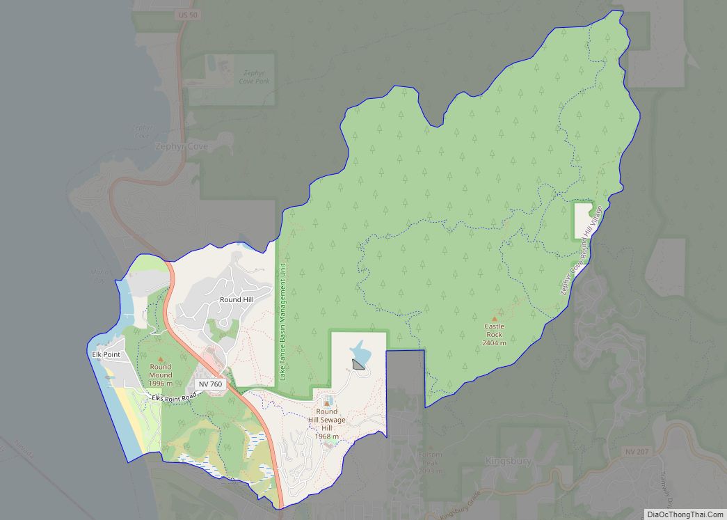
Round Hill Village is a census-designated place (CDP) in northwestern Douglas County, Nevada, United States. The population was 759 at the 2010 census. Prior to 2010, the community was part of the Zephyr Cove–Round Hill Village CDP. Round Hill Village CDP overview: Name: Round Hill Village CDP LSAD Code: 57 LSAD Description: CDP (suffix) State: ... Read more
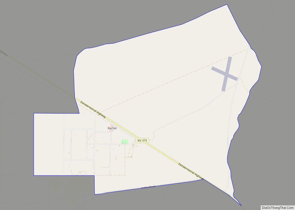
Rachel is a census-designated place (CDP) in Lincoln County, Nevada, United States. As of the 2020 census, it had a population of 48. As the closest settlement to the Nellis Air Force Range and Area 51, Rachel enjoys a modest celebrity status, particularly among aviation enthusiasts and UFO hunters. Rachel CDP overview: Name: Rachel CDP ... Read more
Preston is a census-designated place in White Pine County, Nevada, United States. Preston was established by Mormon settlers in 1876, and named after William B. Preston, the fourth Presiding Bishop of the Church of Jesus Christ of Latter-day Saints between 1884 and 1907. The community’s economy is based on agriculture and ranching. Preston is at ... Read more
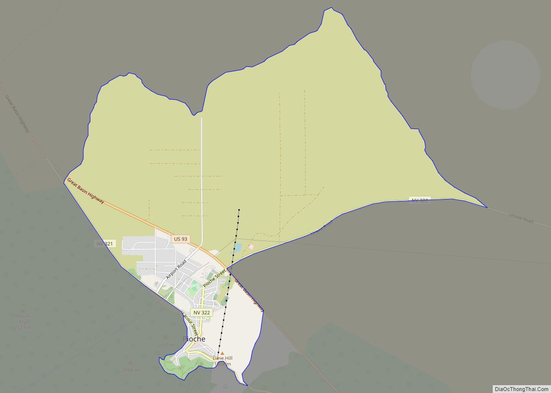
Pioche is an unincorporated town in Lincoln County, Nevada, United States, approximately 180 miles (290 km) northeast of Las Vegas. U.S. Route 93 is the main route to Pioche and bypasses the town center just to the east, with Nevada State Route 321 and Nevada State Route 322 providing direct access. Its elevation is 6,060 feet ... Read more
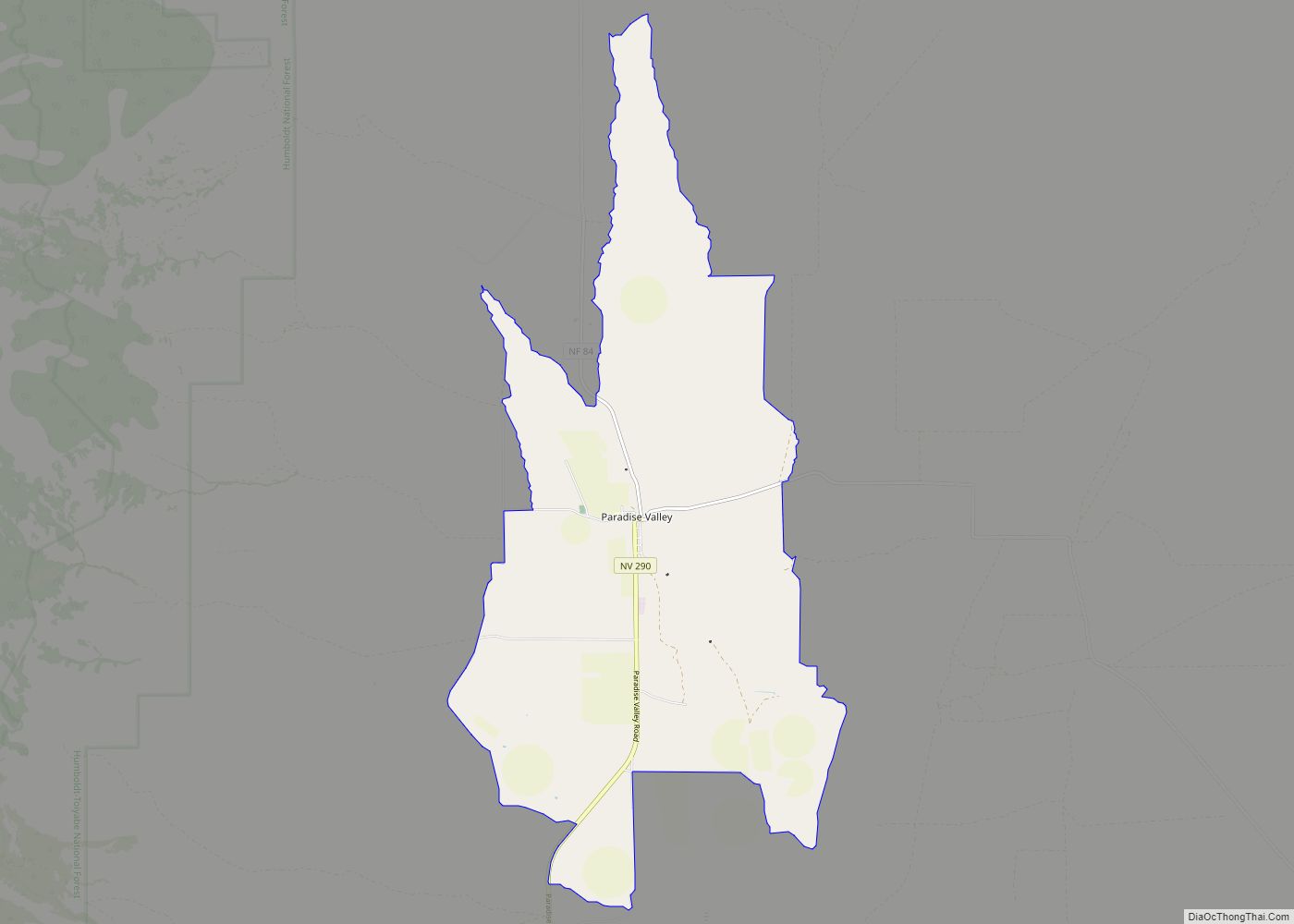
Paradise Valley is a census-designated place (CDP) in Humboldt County, Nevada, United States, near the Santa Rosa Ranger District of Humboldt National Forest. It is located at the northern terminus of Nevada State Route 290, about 19 miles (31 km) northeast of U.S. Highway 95 and a total of 40 miles (64 km) north of Winnemucca. The ... Read more
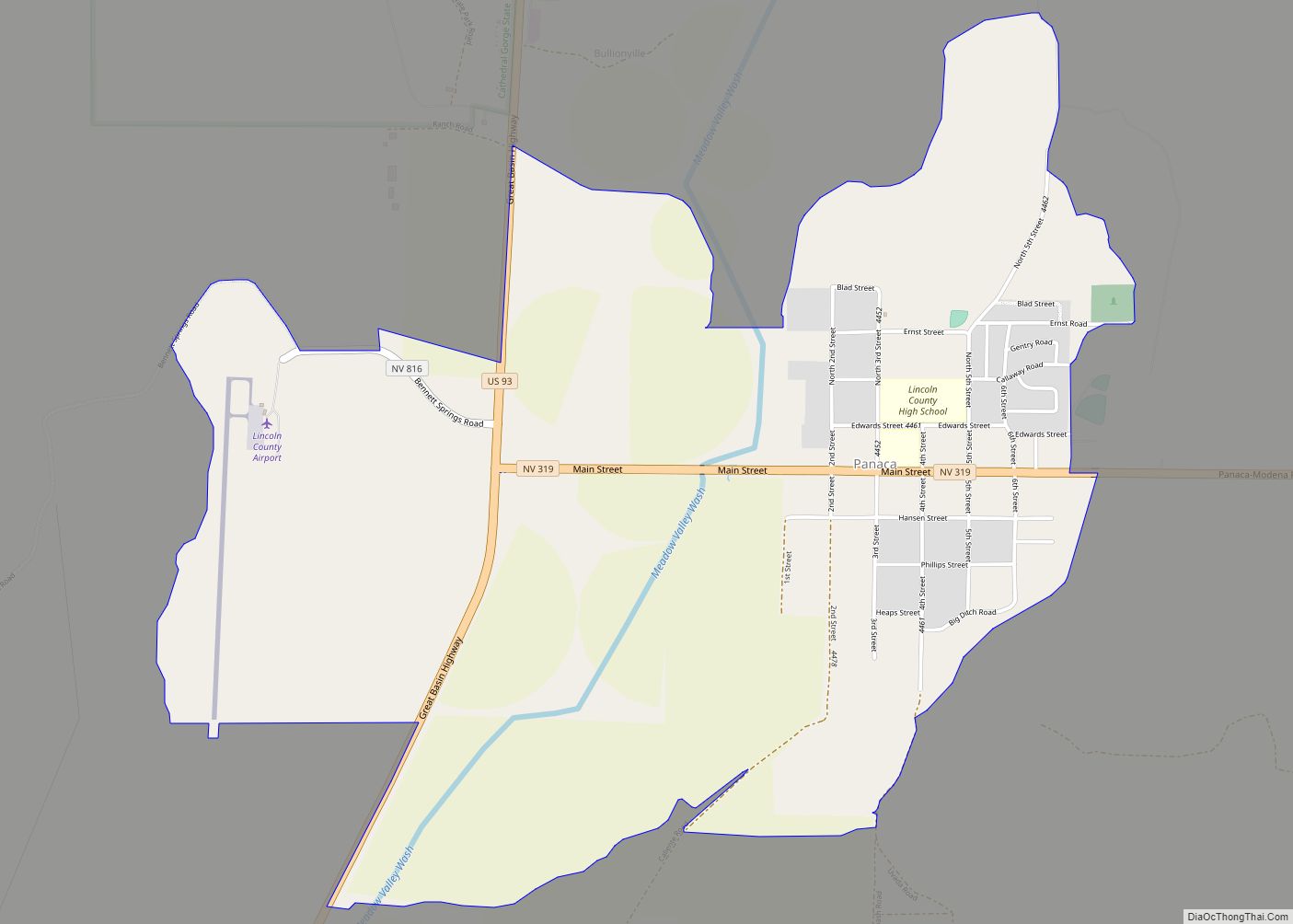
Panaca is an unincorporated town in eastern Lincoln County, Nevada, United States, on State Route 319, about 1 mile (1.6 kilometers) east of U.S. Route 93, near the border with Utah. Its elevation is 4,729 feet (1,441 meters) above sea level. As of the 2010 census, it had a population of 963. It is one ... Read more
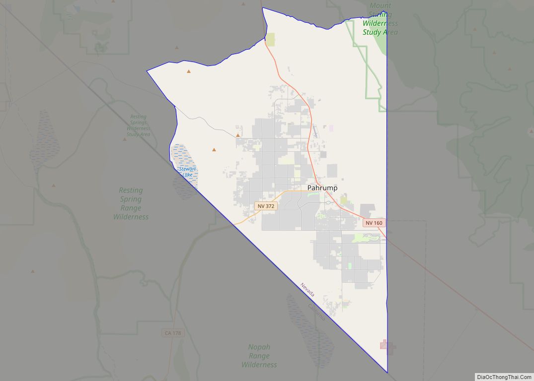
Pahrump (/pəˈrʌmp/ pə-RUMP) is an unincorporated town located at the southernmost tip of Nye County, Nevada, United States, about 62 miles (100 km) west of Las Vegas. Pahrump lies adjacent to the Nevada–California border and the area had a population of 44,738 as of the 2020 census. Pahrump CDP overview: Name: Pahrump CDP LSAD Code: 57 ... Read more
