Pioche is an unincorporated town in Lincoln County, Nevada, United States, approximately 180 miles (290 km) northeast of Las Vegas. U.S. Route 93 is the main route to Pioche and bypasses the town center just to the east, with Nevada State Route 321 and Nevada State Route 322 providing direct access. Its elevation is 6,060 feet (1,850 m) above sea level. Pioche is the county seat of Lincoln County. Pioche is named after François Louis Alfred Pioche, a San Francisco financier and land speculator originally from France. The town’s population was 1,002 at the 2010 census.
| Name: | Pioche CDP |
|---|---|
| LSAD Code: | 57 |
| LSAD Description: | CDP (suffix) |
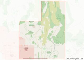
| State: | Nevada |
| County: | Lincoln County |
| Total Area: | 6.15 sq mi (15.94 km²) |
| Land Area: | 6.15 sq mi (15.94 km²) |
| Water Area: | 0.00 sq mi (0.00 km²) |
| Total Population: | 933 |
| Population Density: | 151.61/sq mi (58.53/km²) |
| ZIP code: | 89043 |
| Area code: | 775 |
| FIPS code: | 3257400 |
| GNISfeature ID: | 0854572 |
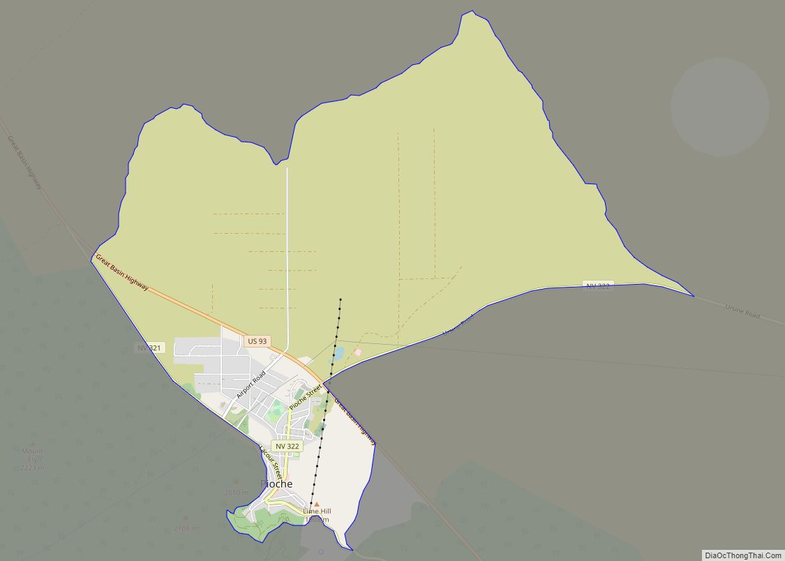
Online Interactive Map
Click on ![]() to view map in "full screen" mode.
to view map in "full screen" mode.
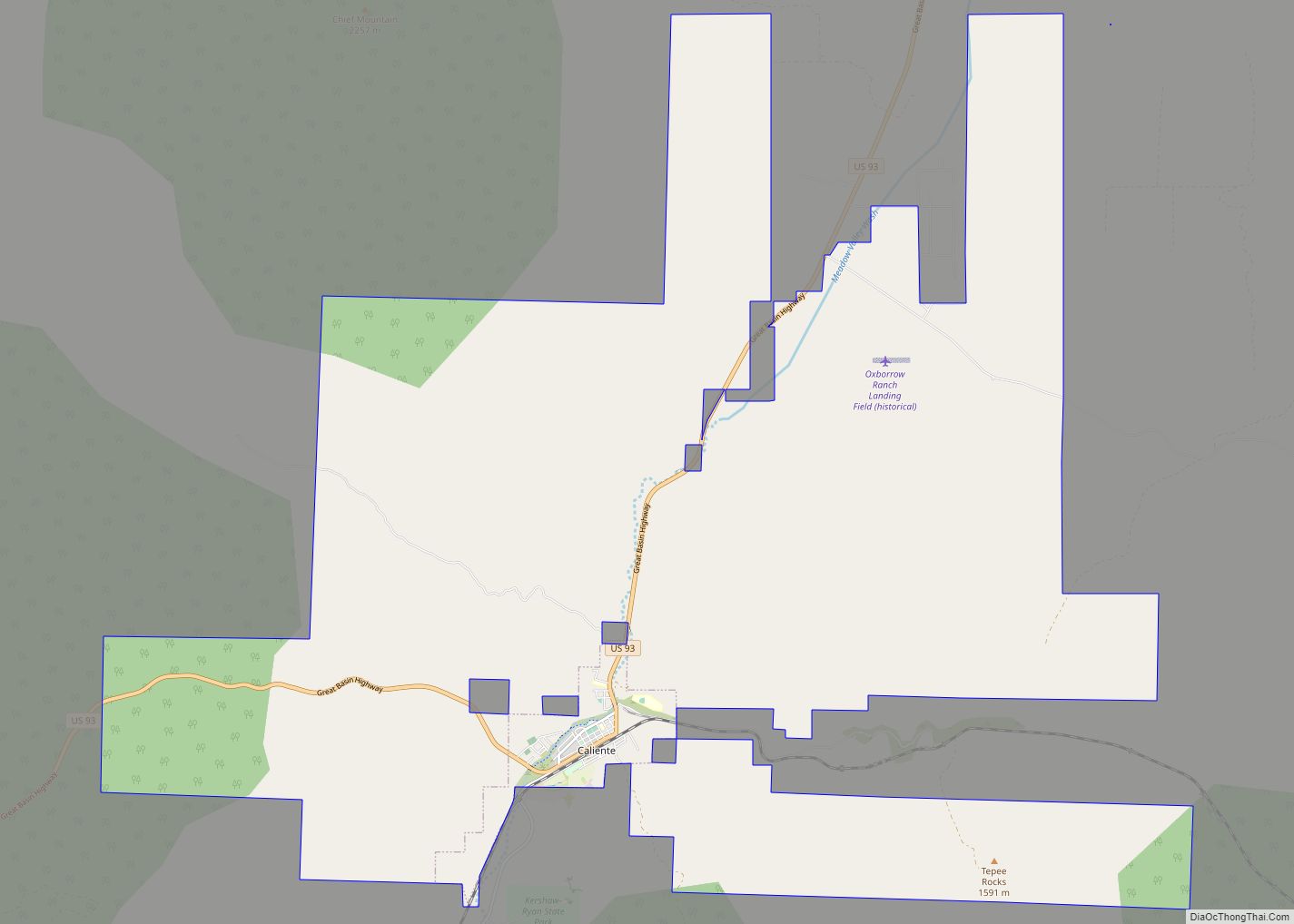
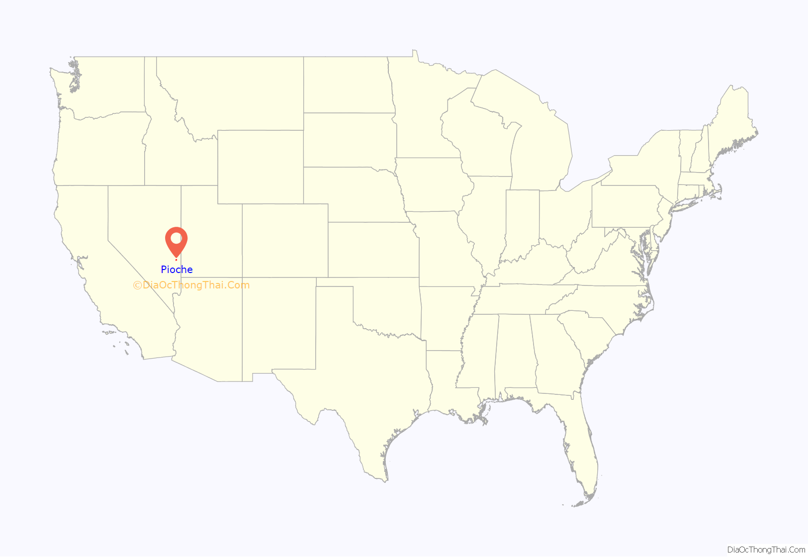
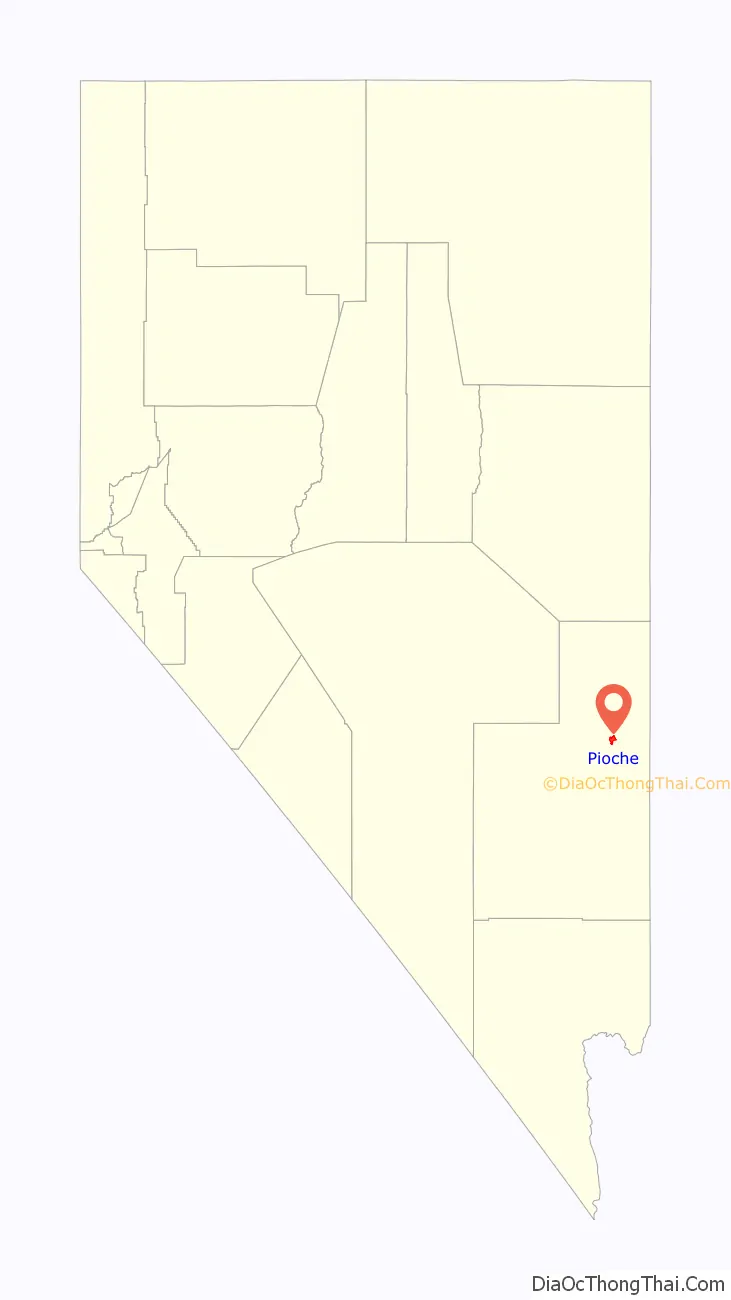
Pioche location map. Where is Pioche CDP?
History
The first modern settlement of the area occurred in 1864 with the opening of a silver mine. The settlers abandoned the area when local Indian tribes launched a series of raids and massacres. Recolonization was launched in 1868, after the Indian raids were stopped and François Pioche bought the town in 1869. By the early 1870s, Pioche had grown larger, to become one of the most important silver-mining towns in Nevada. Because of the town’s remoteness which had earlier allowed the Indian raids to occur, Pioche had a reputation for being one of the roughest towns in the Old West.
Due mostly to confusion over the exact location of mining claims, mine owners finally resorted to hiring guards. In 1872, Tom and Ed Newland hired gunmen to take over the very profitable mine owned by William H. Raymond and John Ely. They in turn hired four more men who during a raid in the middle of the night killed one of the guards and drove off the remainder. One of the four hired gunmen, Michael Casey, killed miner Tom Gossen after refusing to pay interest on a $100 loan. Before he died the next day, Gossen left a $5,000 reward to the man who killed Casey. Jim Leavy swore Casey had not shot Gossen in self defense, and Casey challenged Leavy to get his gun. The two men met in front of Felsenthal’s store. Leavy shot Casey and then beat him to death with his pistol. Leavy in turn was wounded by David Neagle, who shot Leavy through the cheeks, leaving him permanently disfigured.
It was reported that nearly 60 percent of the homicides reported in Nevada during 1871–72 took place in and around Pioche. Local lore says 72 men were killed in gunfights before the first natural death occurred in the camp. This legend is immortalized by the creation of Boot Hill, now a landmark in the city.
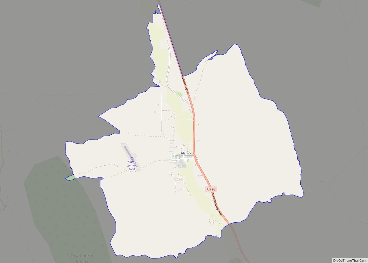
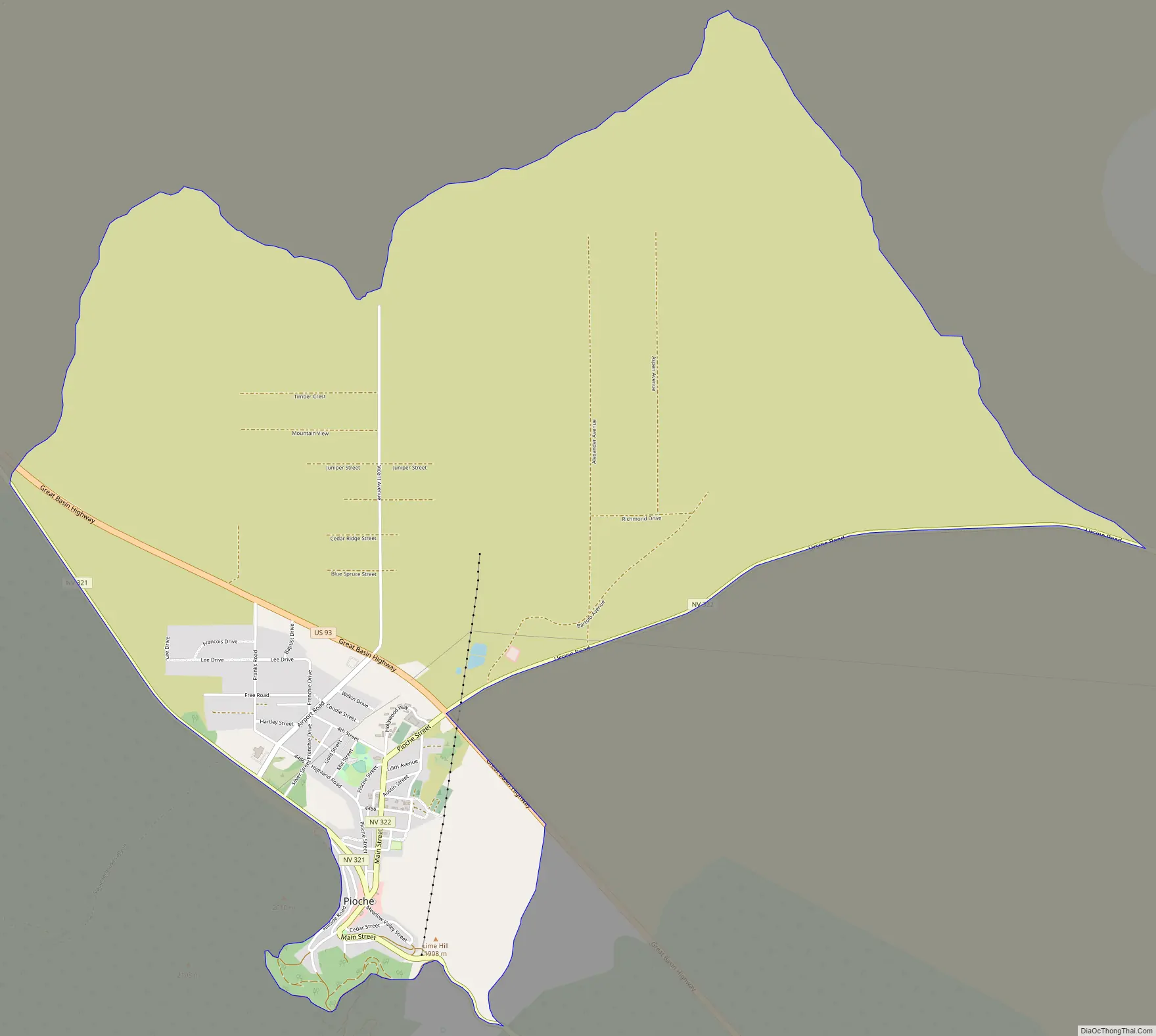
Pioche Road Map
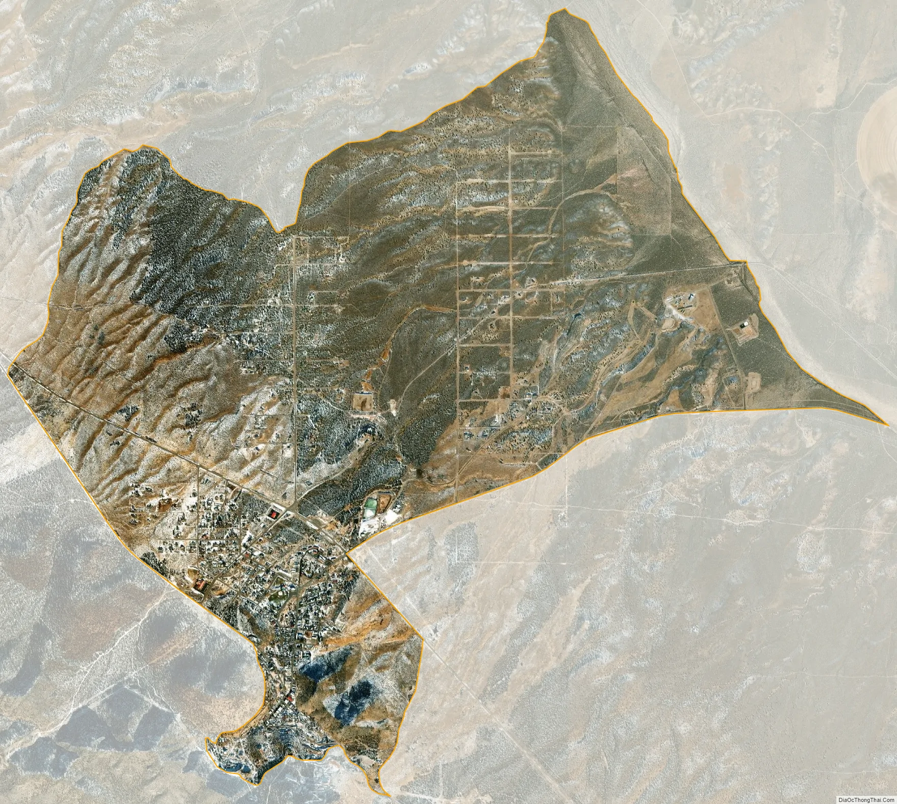
Pioche city Satellite Map
See also
Map of Nevada State and its subdivision: Map of other states:- Alabama
- Alaska
- Arizona
- Arkansas
- California
- Colorado
- Connecticut
- Delaware
- District of Columbia
- Florida
- Georgia
- Hawaii
- Idaho
- Illinois
- Indiana
- Iowa
- Kansas
- Kentucky
- Louisiana
- Maine
- Maryland
- Massachusetts
- Michigan
- Minnesota
- Mississippi
- Missouri
- Montana
- Nebraska
- Nevada
- New Hampshire
- New Jersey
- New Mexico
- New York
- North Carolina
- North Dakota
- Ohio
- Oklahoma
- Oregon
- Pennsylvania
- Rhode Island
- South Carolina
- South Dakota
- Tennessee
- Texas
- Utah
- Vermont
- Virginia
- Washington
- West Virginia
- Wisconsin
- Wyoming