Bristol is a census-designated place (CDP) and the main village in the town of Bristol in Grafton County, New Hampshire, United States. The population of the CDP was 1,911 at the 2020 census, out of 3,244 in the entire town. Bristol CDP overview: Name: Bristol CDP LSAD Code: 57 LSAD Description: CDP (suffix) State: New ... Read more
New Hampshire Cities and Places
Bradford is a census-designated place (CDP) and the main village in the town of Bradford in Merrimack County, New Hampshire, United States. The population of the CDP was 372 at the 2020 census, out of 1,662 in the entire town. Bradford CDP overview: Name: Bradford CDP LSAD Code: 57 LSAD Description: CDP (suffix) State: New ... Read more
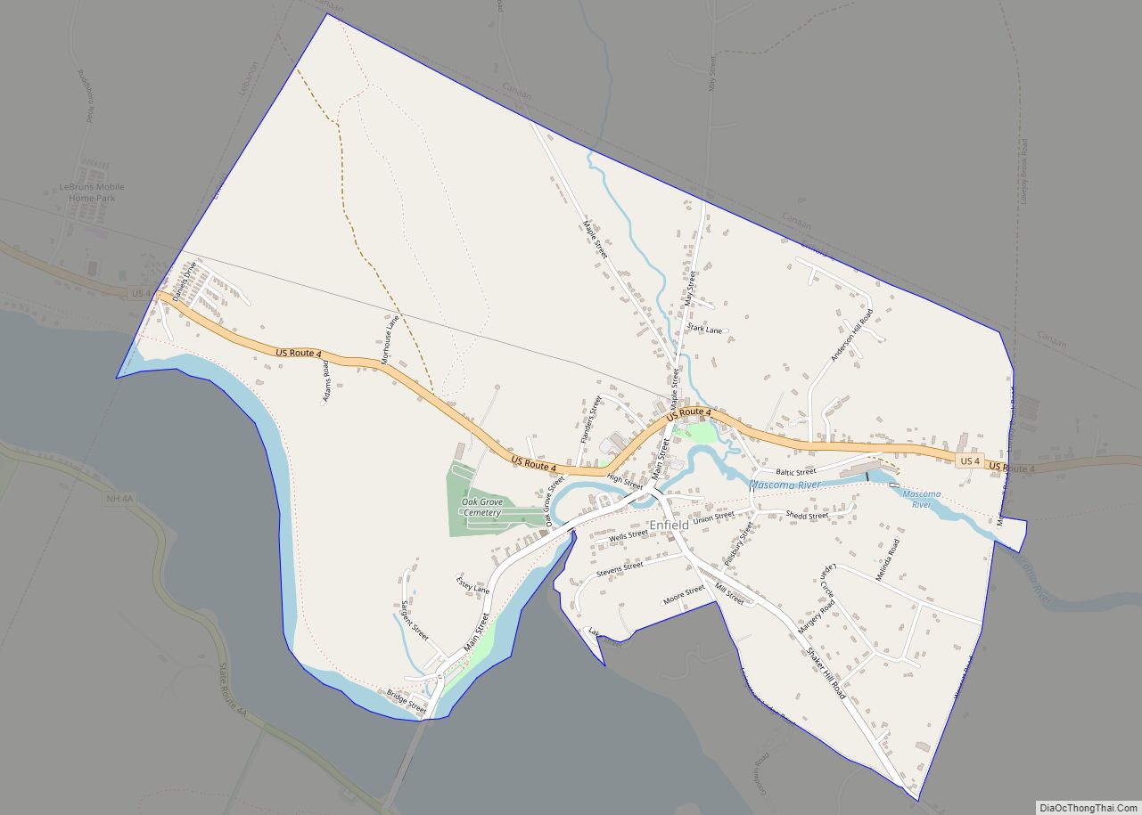
Enfield is a census-designated place (CDP) and the main village in the town of Enfield in Grafton County, New Hampshire, United States. The population of the CDP was 1,571 at the 2020 census, out of 4,465 in the entire town. Enfield CDP overview: Name: Enfield CDP LSAD Code: 57 LSAD Description: CDP (suffix) State: New ... Read more
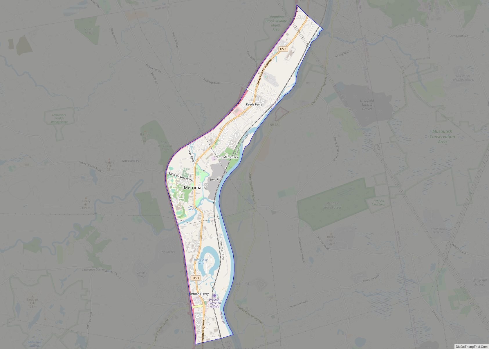
East Merrimack is a census-designated place (CDP) in the town of Merrimack, Hillsborough County, New Hampshire, United States. There is no village center named “East Merrimack”; rather, the CDP refers to the region of the town of Merrimack lying east of the F. E. Everett Turnpike, overlapping portions of the villages of Reeds Ferry, Thornton’s ... Read more
Durham is a census-designated place (CDP) and the main village in the town of Durham in Strafford County, New Hampshire, United States. The population of the CDP was 11,147 at the 2020 census, out of 15,490 in the entire town. The CDP is home to the University of New Hampshire. Durham CDP overview: Name: Durham ... Read more
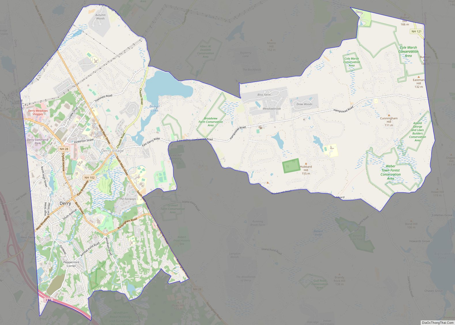
Derry is a census-designated place (CDP) in the town of Derry in Rockingham County, New Hampshire, United States. The CDP comprises the urban center of the town, as well as the village of East Derry and connected suburban areas. The population of the CDP was 22,879 at the 2020 census, out of 34,317 in the ... Read more
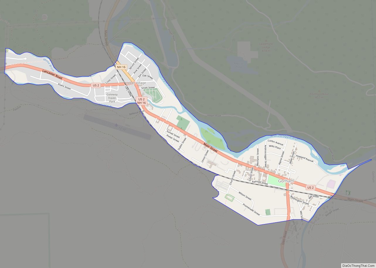
Gorham is a census-designated place (CDP) and the main village in the town of Gorham in Coos County, New Hampshire, United States. The population of the CDP was 1,851 at the 2020 census, out of 2,698 people in the entire town of Gorham. Gorham CDP overview: Name: Gorham CDP LSAD Code: 57 LSAD Description: CDP ... Read more
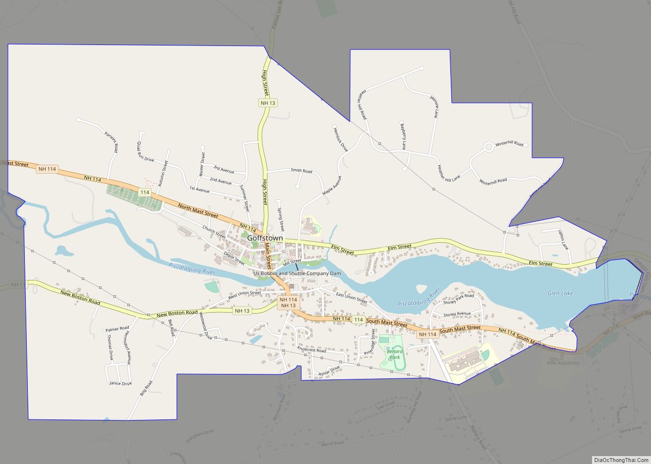
Goffstown is a census-designated place (CDP) and the main village in the town of Goffstown in Hillsborough County, New Hampshire, United States. The population of the CDP was 3,366 at the 2020 census, out of 18,577 in the entire town. Goffstown CDP overview: Name: Goffstown CDP LSAD Code: 57 LSAD Description: CDP (suffix) State: New ... Read more
Franklin is a city in Merrimack County, New Hampshire, United States. At the 2020 census, the population was 8,741, the least of New Hampshire‘s 13 cities. Franklin includes the village of West Franklin. Franklin city overview: Name: Franklin city LSAD Code: 25 LSAD Description: city (suffix) State: New Hampshire County: Merrimack County Elevation: 310 ft (90 m) ... Read more
Farmington is a census-designated place (CDP) and the main village in the town of Farmington, Strafford County, New Hampshire, United States. The population of the CDP was 3,824 at the 2020 census, out of 6,722 in the entire town. Farmington CDP overview: Name: Farmington CDP LSAD Code: 57 LSAD Description: CDP (suffix) State: New Hampshire ... Read more
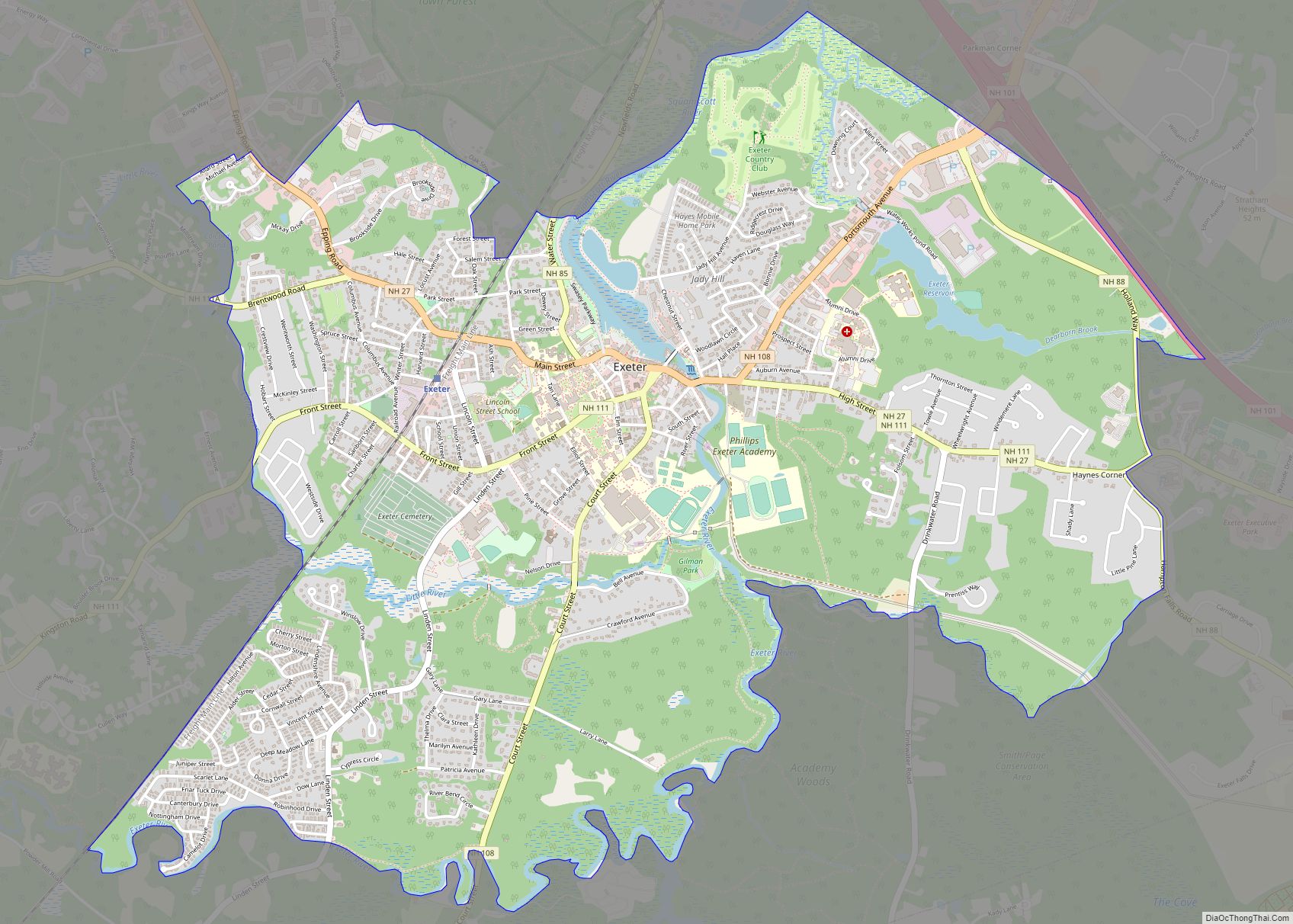
Exeter is a census-designated place (CDP) and the main village in the town of Exeter, Rockingham County, New Hampshire, United States. The population of the CDP was 10,109 at the 2020 census, out of 16,049 in the entire town. Exeter CDP overview: Name: Exeter CDP LSAD Code: 57 LSAD Description: CDP (suffix) State: New Hampshire ... Read more
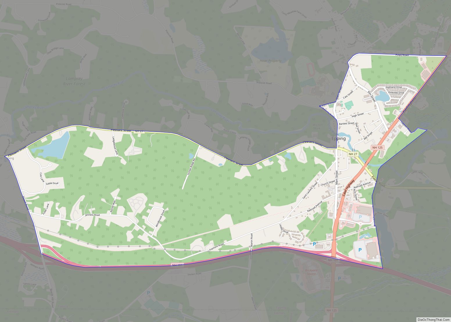
Epping is a census-designated place (CDP) and the main village in the town of Epping, Rockingham County, New Hampshire, United States. The population of the CDP was 2,693 at the 2020 census, out of 7,125 in the entire town. Epping CDP overview: Name: Epping CDP LSAD Code: 57 LSAD Description: CDP (suffix) State: New Hampshire ... Read more


