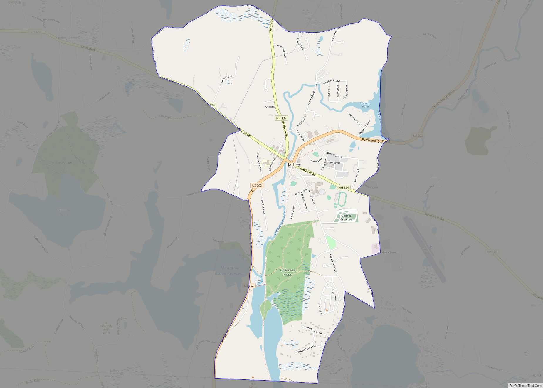
Jaffrey is a census-designated place (CDP) and the main village in the town of Jaffrey in Cheshire County, New Hampshire, United States. The population of the CDP was 3,058 at the 2020 census, out of 5,320 in the entire town of Jaffrey. Jaffrey CDP overview: Name: Jaffrey CDP LSAD Code: 57 LSAD Description: CDP (suffix) ... Read more
New Hampshire Cities and Places
Hudson is a census-designated place (CDP) and the urban center of the town of Hudson in Hillsborough County, New Hampshire, United States. The population of the CDP was 7,534 at the 2020 census, out of 25,394 in the entire town. Hudson CDP overview: Name: Hudson CDP LSAD Code: 57 LSAD Description: CDP (suffix) State: New ... Read more
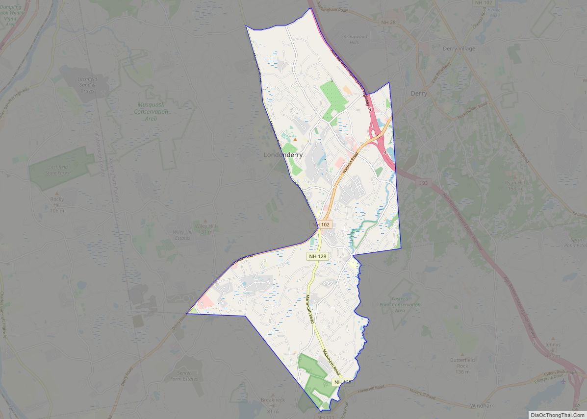
Londonderry is a census-designated place (CDP) within the town of Londonderry in Rockingham County, New Hampshire, United States. The population of the CDP was 11,645 at the 2020 census, out of 25,826 in the entire town. Londonderry CDP overview: Name: Londonderry CDP LSAD Code: 57 LSAD Description: CDP (suffix) State: New Hampshire County: Rockingham County ... Read more
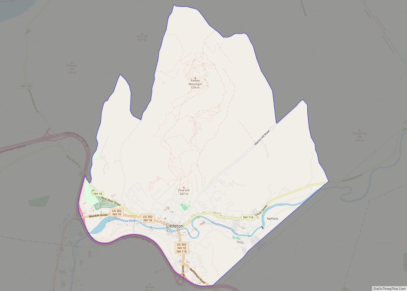
Littleton is a census-designated place (CDP) and the main village in the town of Littleton in Grafton County, New Hampshire, United States. The population of the CDP was 4,467 at the 2020 census, out of 6,005 in the entire town. Littleton CDP overview: Name: Littleton CDP LSAD Code: 57 LSAD Description: CDP (suffix) State: New ... Read more
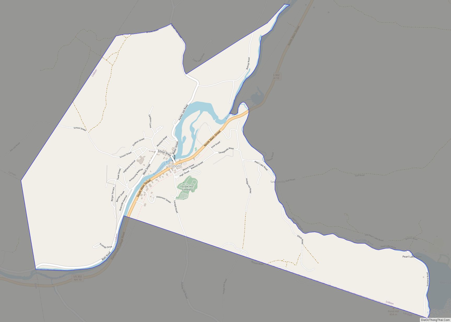
Lisbon is a census-designated place (CDP) and the main village in the town of Lisbon in Grafton County, New Hampshire, United States. The population of the CDP was 965 at the 2020 census, out of 1,621 in the entire town. Lisbon CDP overview: Name: Lisbon CDP LSAD Code: 57 LSAD Description: CDP (suffix) State: New ... Read more
Lincoln is a census-designated place (CDP) and the main village in the town of Lincoln in Grafton County, New Hampshire, United States. The population of the CDP was 969 at the 2020 census, out of 1,631 in the entire town. Lincoln CDP overview: Name: Lincoln CDP LSAD Code: 57 LSAD Description: CDP (suffix) State: New ... Read more
Lebanon locally /ˈlɛbənən/ is the only city in Grafton County, New Hampshire, United States. The population was 14,282 at the 2020 census, up from 13,151 at the 2010 census. Lebanon is in western New Hampshire, south of Hanover, near the Connecticut River. It is the home to Dartmouth–Hitchcock Medical Center and Dartmouth College’s Geisel School ... Read more
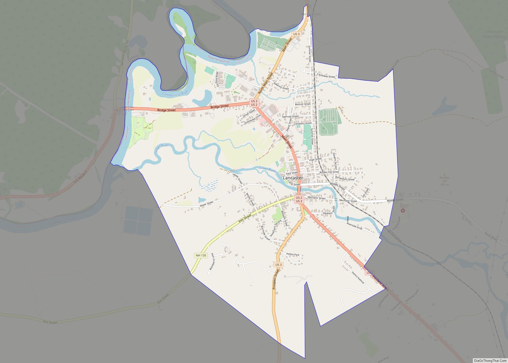
Lancaster is a census-designated place (CDP) and the main village in the town of Lancaster in Coos County, New Hampshire, United States. The population of the CDP was 1,941 at the 2020 census, out of 3,218 in the entire town of Lancaster. Lancaster CDP overview: Name: Lancaster CDP LSAD Code: 57 LSAD Description: CDP (suffix) ... Read more
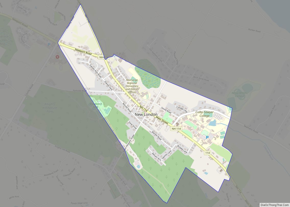
New London is a census-designated place (CDP) and the primary village in the town of New London in Merrimack County, New Hampshire, United States. The population of the CDP was 1,266 at the 2020 census, out of 4,400 in the entire town. The CDP includes the campus of Colby–Sawyer College. New London CDP overview: Name: ... Read more
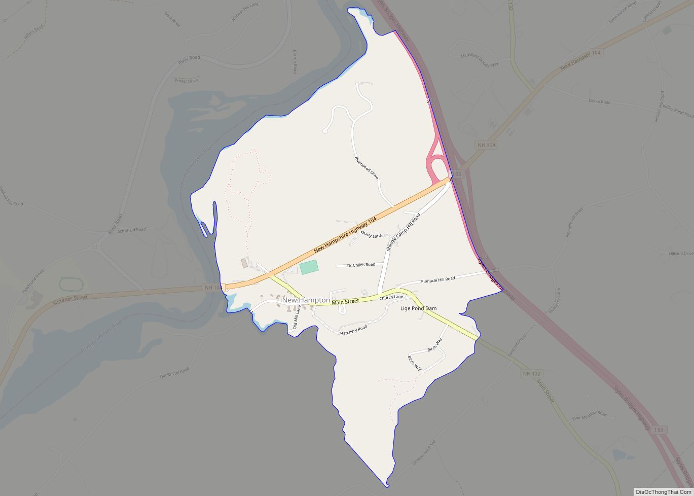
New Hampton is a census-designated place (CDP) and the main village in the town of New Hampton in Belknap County, New Hampshire, United States. The population was 373 at the 2020 census, out of 2,377 people in the entire town of New Hampton. New Hampton CDP overview: Name: New Hampton CDP LSAD Code: 57 LSAD ... Read more
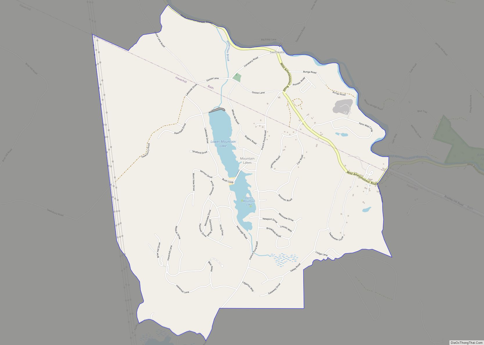
Mountain Lakes is a census-designated place (CDP) in the towns of Haverhill and Bath in Grafton County, New Hampshire, United States. It had a population of 504 at the 2020 census. The Haverhill portion of the community is an independent incorporated district, with its own water system, planning board, and recreation program, and is guided ... Read more
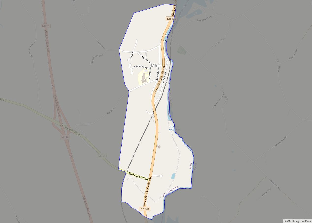
Milton is a census-designated place (CDP) and the primary village in the town of Milton, Strafford County, New Hampshire, United States. The population of the CDP was 593 at the 2020 census, out of 4,482 in the entire town. Milton CDP overview: Name: Milton CDP LSAD Code: 57 LSAD Description: CDP (suffix) State: New Hampshire ... Read more
