Keene is the only city in and the seat of Cheshire County, New Hampshire, United States. The population was 23,047 at the 2020 census, down from 23,409 at the 2010 census.
Keene is home to Keene State College and Antioch University New England. It hosted the state’s annual pumpkin festival from 1991 to 2014, several times setting a world record for most jack-o’-lanterns on display.
The grocery wholesaler C&S Wholesale Grocers is based in Keene.
| Name: | Keene city |
|---|---|
| LSAD Code: | 25 |
| LSAD Description: | city (suffix) |
| State: | New Hampshire |
| County: | Cheshire County |
| Incorporated: | 1753 (town) |
| Elevation: | 486 ft (148 m) |
| Total Area: | 37.35 sq mi (96.74 km²) |
| Land Area: | 37.09 sq mi (96.07 km²) |
| Water Area: | 0.26 sq mi (0.67 km²) |
| Population Density: | 621.35/sq mi (239.90/km²) |
| ZIP code: | 03431, 03435 |
| Area code: | 603 |
| FIPS code: | 3339300 |
| GNISfeature ID: | 0867823 |
| Website: | keenenh.gov |
Online Interactive Map
Click on ![]() to view map in "full screen" mode.
to view map in "full screen" mode.
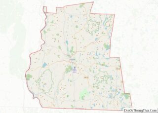
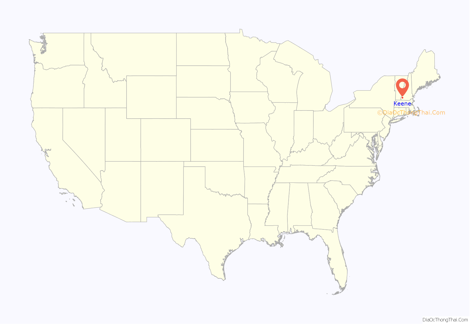
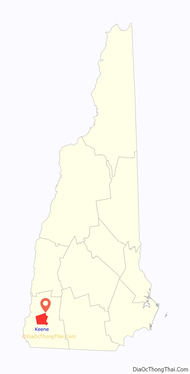
Keene location map. Where is Keene city?
History
In 1735, colonial Governor Jonathan Belcher granted lots in the township of “Upper Ashuelot” to 63 settlers who paid £5 each. Settled after 1736 on Equivalent Lands, it was intended to be a fort town protecting the Province of Massachusetts Bay from the French and their Native allies during the French and Indian Wars, the North American front of the Seven Years’ War. When the boundary between the Massachusetts Bay and New Hampshire colonies was fixed in 1741, Upper Ashuelot became part of New Hampshire, although Massachusetts continued supporting the area for its own protection.
In 1747, during King George’s War, the village was attacked and burned by Natives. Colonists fled to safety, but would return to rebuild in 1749. It was regranted to its inhabitants in 1753 by Governor Benning Wentworth, who renamed it “Keene” after Sir Benjamin Keene, English minister to Spain and a West Indies trader. Located at the center of Cheshire County, Keene was designated as the county seat in 1769. Land was set off for the towns of Sullivan and Roxbury, although Keene would annex 154 acres (0.62 km) from Swanzey (formerly Lower Ashuelot).
Timothy Dwight, the Yale president who chronicled his travels, described the town as “…one of the prettiest in New England.” Situated on an ancient lake bed surrounded by hills, the valley with fertile meadows was excellent for farming. The Ashuelot River was later used to provide water power for sawmills, gristmills and tanneries. After the railroad was constructed to the town in 1848, numerous other industries were established. Keene became a manufacturing center for wooden-ware, pails, chairs, sashes, shutters, doors, pottery, glass, soap, woolen textiles, shoes, saddles, mowing machines, carriages and sleighs. It also had a brickyard and foundry. Keene was incorporated as a city in 1874, and by 1880 had a population of 6,784. In the early 1900s, the Newburyport Silver Company moved to Keene to take advantage of its skilled workers and location.
New England manufacturing declined in the 20th century, however, particularly during the Great Depression. Keene is today a center for insurance, education, and tourism. The city retains a considerable inventory of fine Victorian architecture from its mill town era. An example is the Keene Public Library, which occupies a Second Empire mansion built about 1869 by manufacturer Henry Colony.
Keene’s manufacturing success was brought on in part by its importance as a railroad city. The Cheshire Railroad, Manchester & Keene Railroad, and the Ashuelot Railroad all met here. By the early 1900s all had been absorbed by the Boston & Maine Railroad. Keene was home to a railroad shop complex and two railroad yards. The Manchester & Keene Branch was abandoned following the floods of 1936. Beginning in 1945, Keene was a stopping point for the Boston & Maine’s streamlined trainset known at that time as the Cheshire.
Keene became notable in 1962, when F. Nelson Blount chose the city for the site of his Steamtown, U.S.A. attraction. But Blount’s plan fell through and, after one operating season in Keene, the museum was relocated to nearby Bellows Falls, Vermont. The Boston & Maine abandoned the Cheshire Branch in 1972, leaving the Ashuelot Branch as Keene’s only rail connection to the outside world.
In 1978, the B&M leased switching operations in Keene to the Green Mountain Railroad, which took over the entire Ashuelot Branch in 1982. Passenger decline and track conditions forced the Green Mountain to end service on the Ashuelot Branch in 1983 and return operating rights to the B&M. However, there were no longer enough customers to warrant service on the line. In 1984, the last train arrived in and departed Keene, consisting of Boston & Maine EMD GP9 1714, pulling flat cars to carry rails removed from the railyard. Track conditions on the Ashuelot Branch were so poor at the time that the engine returned light (without cars) to Brattleboro. A hi-rail truck was used instead to remove the flatcars.
In 1995, the freight house, one of the last remaining railroad buildings in town, burned due to arson. Since the late 20th century, the railroad beds through town have been redeveloped as the Cheshire Rail Trail and the Ashuelot Rail Trail.
In 2011, Massachusetts man Thomas Ball immolated himself on the steps of a courthouse in Keene to protest what he considered the court system’s abuse of divorced fathers’ rights.
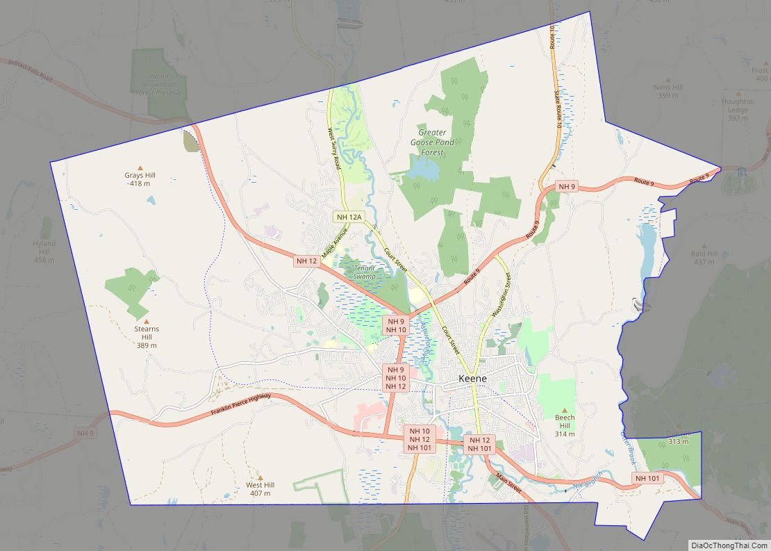
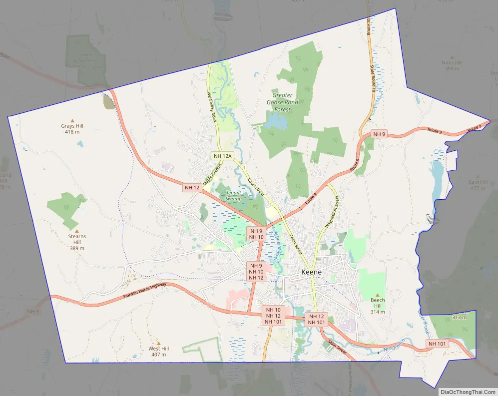
Keene Road Map
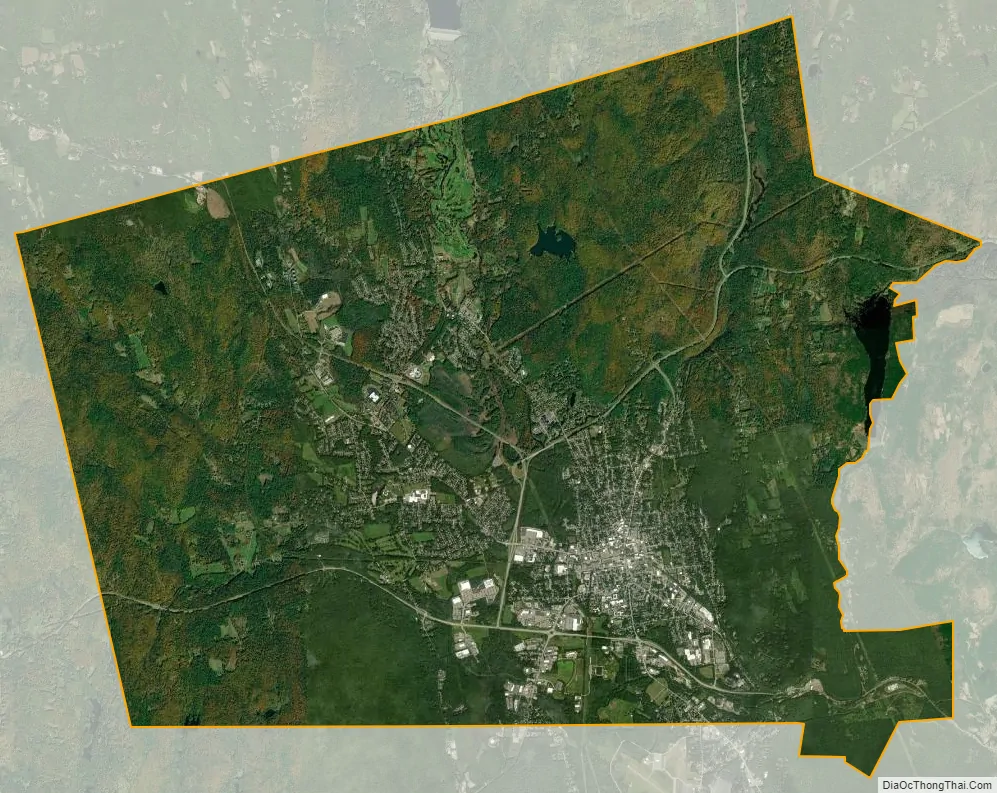
Keene city Satellite Map
Geography
Keene is located at 42°56′01″N 72°16′41″W / 42.93361°N 72.27806°W / 42.93361; -72.27806 (42.9339, −72.2784).
According to the United States Census Bureau, the city has a total area of 37.3 square miles (96.7 km), of which 37.1 square miles (96.1 km) are land and 0.3 square miles (0.7 km) are water, the latter comprising 0.69% of the town. Keene is drained by the Ashuelot River. The highest point in Keene is the summit of Grays Hill in the city’s northwest corner, at 1,388 feet (423 m) above sea level. Keene is entirely within the Connecticut River watershed, with all of the city except for the northwest corner draining to the Connecticut via the Ashuelot.
State highways converge on Keene from nine directions. New Hampshire Route 9 leads northeast to Concord, the state capital, and west to Brattleboro, Vermont. Route 10 leads north to Newport and southwest to Northfield, Massachusetts. Route 12 leads northwest to Walpole and Charlestown and southeast to Winchendon, Massachusetts. Route 101 leads east to Peterborough and Manchester, Route 32 leads south to Swanzey, then to Athol, Massachusetts, and Route 12A leads north to Surry and Alstead. A limited-access bypass used variously by Routes 9, 10, 12, and 101 passes around the north, west, and south sides of downtown.
Keene is served by Dillant–Hopkins Airport, located just south of the city in Swanzey.
See also
Map of New Hampshire State and its subdivision: Map of other states:- Alabama
- Alaska
- Arizona
- Arkansas
- California
- Colorado
- Connecticut
- Delaware
- District of Columbia
- Florida
- Georgia
- Hawaii
- Idaho
- Illinois
- Indiana
- Iowa
- Kansas
- Kentucky
- Louisiana
- Maine
- Maryland
- Massachusetts
- Michigan
- Minnesota
- Mississippi
- Missouri
- Montana
- Nebraska
- Nevada
- New Hampshire
- New Jersey
- New Mexico
- New York
- North Carolina
- North Dakota
- Ohio
- Oklahoma
- Oregon
- Pennsylvania
- Rhode Island
- South Carolina
- South Dakota
- Tennessee
- Texas
- Utah
- Vermont
- Virginia
- Washington
- West Virginia
- Wisconsin
- Wyoming