Littleton is a census-designated place (CDP) and the main village in the town of Littleton in Grafton County, New Hampshire, United States. The population of the CDP was 4,467 at the 2020 census, out of 6,005 in the entire town.
| Name: | Littleton CDP |
|---|---|
| LSAD Code: | 57 |
| LSAD Description: | CDP (suffix) |
| State: | New Hampshire |
| County: | Grafton County |
| Elevation: | 822 ft (251 m) |
| Total Area: | 8.54 sq mi (22.13 km²) |
| Land Area: | 8.45 sq mi (21.89 km²) |
| Water Area: | 0.09 sq mi (0.24 km²) |
| Total Population: | 4,467 |
| Population Density: | 528.51/sq mi (204.05/km²) |
| ZIP code: | 03561 |
| Area code: | 603 |
| FIPS code: | 3342500 |
| GNISfeature ID: | 2378078 |
Online Interactive Map
Click on ![]() to view map in "full screen" mode.
to view map in "full screen" mode.
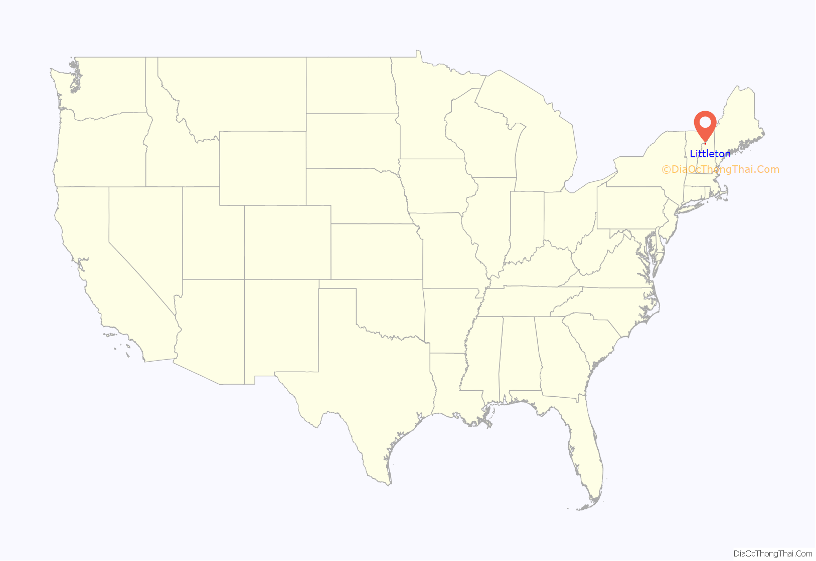
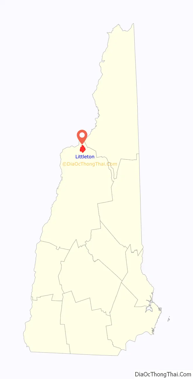
Littleton location map. Where is Littleton CDP?
Littleton Road Map

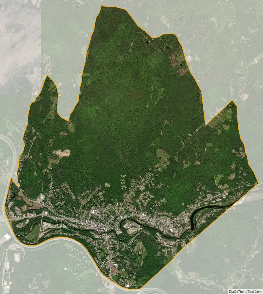
Littleton city Satellite Map
Geography
The CDP is in the eastern part of the town of Littleton, on both sides of the Ammonoosuc River and extending north to include 1,905-foot (581 m) Parker Mountain. The CDP is bordered to the southeast by the town of Bethlehem and to the southwest by Interstate 93. The northern boundary of the CDP, starting at Interstate 93, follows West Main Street, Brickyard Road, Fox Ridge Road, Farr Hill Road, Broomstick Hill Road, Manns Hill Road and Fowler Brook to the Bethlehem town line just north of the Ammonoosuc River.
Interstate 93 runs along the southern edge of the CDP, with access from Exit 41 (Cottage Street/US 302) and Exit 42 (Meadow Street/US 302). I-93 leads northwest 19 miles (31 km) to St. Johnsbury, Vermont, and south through the White Mountains’ Franconia Notch 85 miles (137 km) to Concord, the capital of New Hampshire. U.S. Route 302 is Littleton’s Main Street. To the east it turns up Cottage Street and Bethlehem Road, leading 5 miles (8 km) to Bethlehem, while to the west it turns onto Meadow Street and leads southwest 21 miles (34 km) to Woodsville. New Hampshire Route 116 runs out of town on Union Street, leading northeast 10 miles (16 km) to Whitefield.
According to the U.S. Census Bureau, the Littleton CDP has a total area of 8.5 square miles (22.1 km), of which 8.5 square miles (21.9 km) are land and 0.1 square miles (0.2 km), or 1.07%, are water.
See also
Map of New Hampshire State and its subdivision: Map of other states:- Alabama
- Alaska
- Arizona
- Arkansas
- California
- Colorado
- Connecticut
- Delaware
- District of Columbia
- Florida
- Georgia
- Hawaii
- Idaho
- Illinois
- Indiana
- Iowa
- Kansas
- Kentucky
- Louisiana
- Maine
- Maryland
- Massachusetts
- Michigan
- Minnesota
- Mississippi
- Missouri
- Montana
- Nebraska
- Nevada
- New Hampshire
- New Jersey
- New Mexico
- New York
- North Carolina
- North Dakota
- Ohio
- Oklahoma
- Oregon
- Pennsylvania
- Rhode Island
- South Carolina
- South Dakota
- Tennessee
- Texas
- Utah
- Vermont
- Virginia
- Washington
- West Virginia
- Wisconsin
- Wyoming