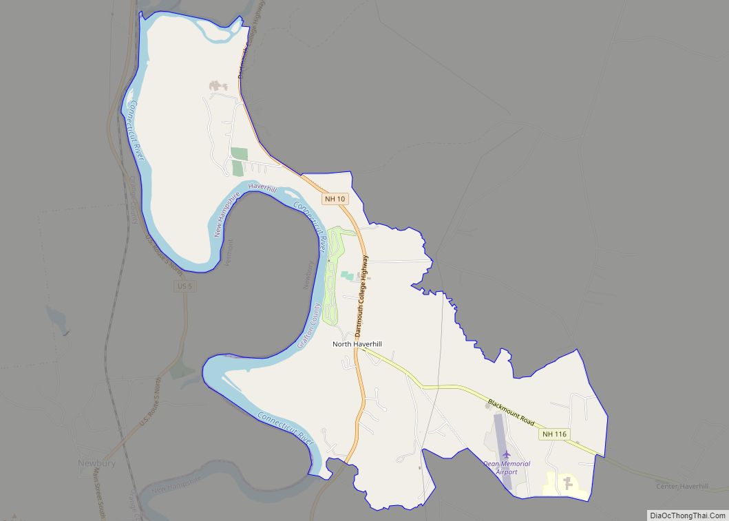
North Haverhill CDP overview: Name: North Haverhill CDP LSAD Code: 57 LSAD Description: CDP (suffix) State: New Hampshire FIPS code: 3354740 Online Interactive Map North Haverhill online map. Source: Basemap layers from Google Map, Open Street Map (OSM), Arcgisonline, Wmflabs. Boundary Data from Database of Global Administrative Areas. North Haverhill location map. Where is North ... Read more
New Hampshire Cities and Places
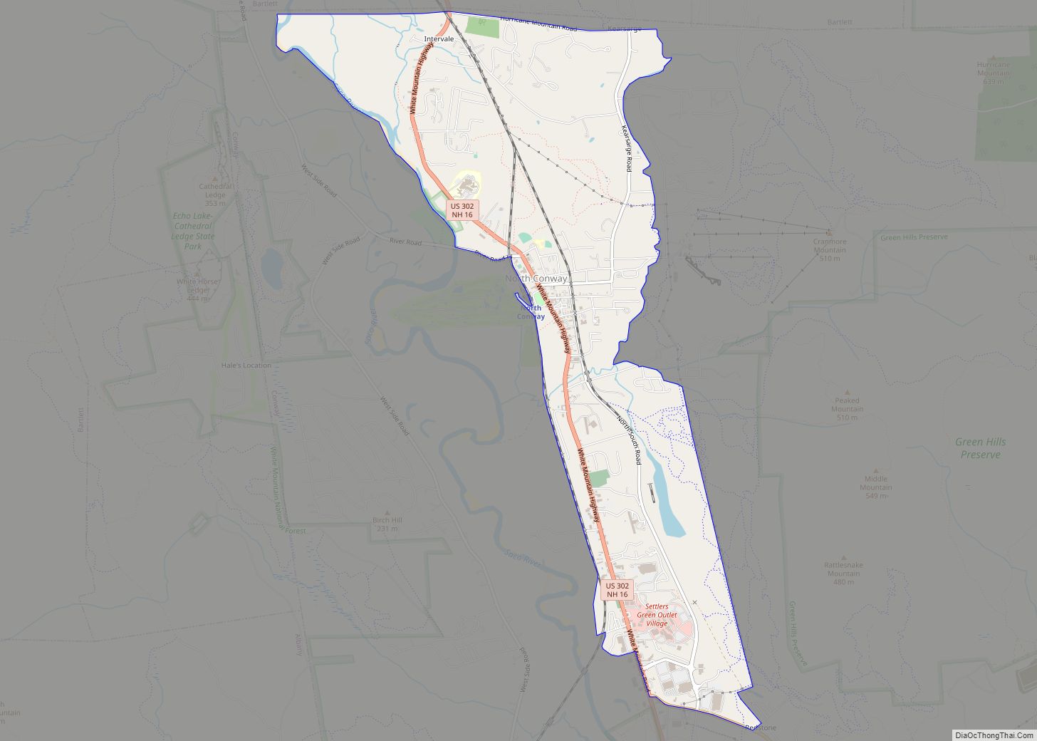
North Conway is a census-designated place (CDP) and village in eastern Carroll County, New Hampshire, United States. The population was 2,116 at the 2020 census. A year-round resort area, North Conway is the second-largest village within the town of Conway, after the village of Conway proper. North Conway maintains its own fire station, post office ... Read more
Newport is a census-designated place (CDP) comprising the main village and surrounding rural land in the town of Newport, Sullivan County, New Hampshire, United States. The population of the CDP was 4,735 at the 2020 census, out of 6,299 in the entire town. Newport CDP overview: Name: Newport CDP LSAD Code: 57 LSAD Description: CDP ... Read more
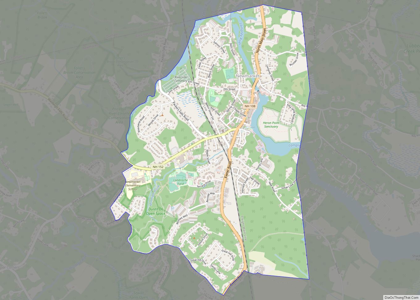
Newmarket is a census-designated place (CDP) and the main village in the town of Newmarket in Rockingham County, New Hampshire, United States. The population of the CDP was 5,797 at the 2020 census, out of 9,430 in the entire town. Newmarket CDP overview: Name: Newmarket CDP LSAD Code: 57 LSAD Description: CDP (suffix) State: New ... Read more
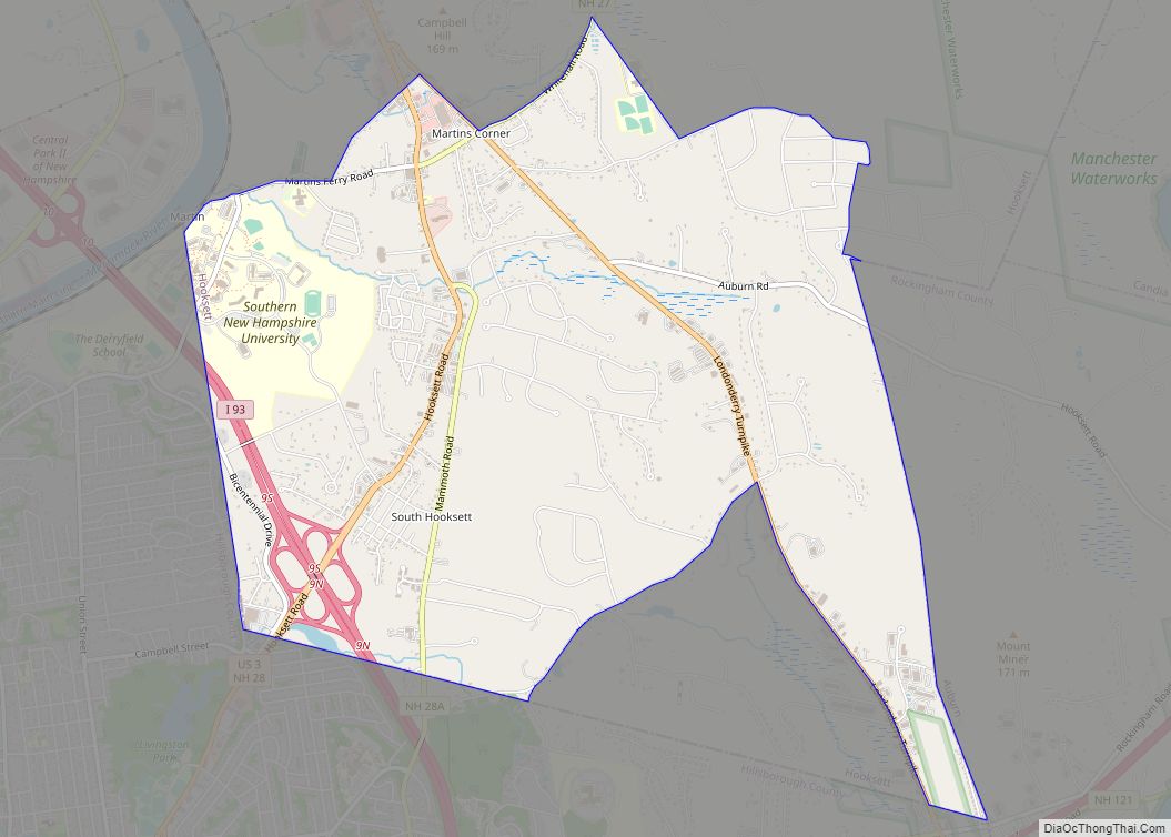
South Hooksett is a census-designated place (CDP) within the town of Hooksett in Merrimack County, New Hampshire, United States. The population was 5,888 at the 2020 census. It is a suburban area adjacent to the city of Manchester, New Hampshire’s largest city, and includes a mix of housing developments and large retail stores. South Hooksett ... Read more
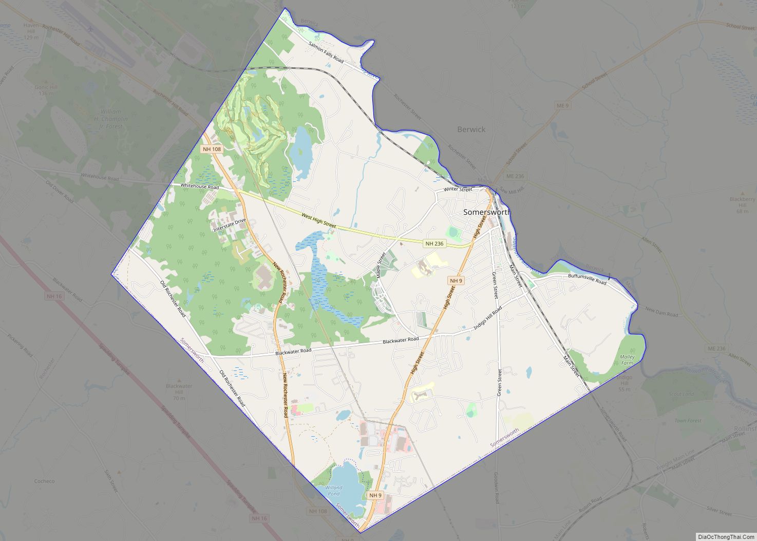
Somersworth is a city in Strafford County, New Hampshire, United States. The population was 11,855 at the 2020 census. Somersworth has the smallest area and third-lowest population of New Hampshire’s 13 cities. Somersworth city overview: Name: Somersworth city LSAD Code: 25 LSAD Description: city (suffix) State: New Hampshire County: Strafford County Elevation: 204 ft (62 m) Total ... Read more
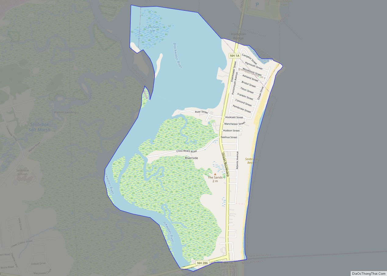
Seabrook Beach is a census-designated place in the town of Seabrook and partially in the town of Hampton in Rockingham County, New Hampshire, United States. It had a population of 1,078 at the 2020 census. Seabrook Beach CDP overview: Name: Seabrook Beach CDP LSAD Code: 57 LSAD Description: CDP (suffix) State: New Hampshire County: Rockingham ... Read more
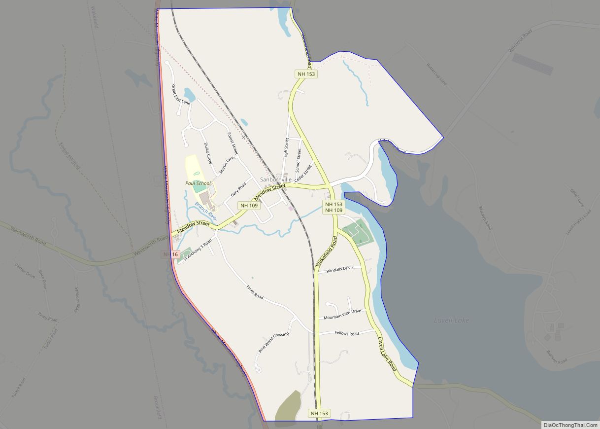
Sanbornville is a census-designated place (CDP) and the primary village in the town of Wakefield, Carroll County, New Hampshire, United States. It had a population of 963 at the 2020 census. Sanbornville CDP overview: Name: Sanbornville CDP LSAD Code: 57 LSAD Description: CDP (suffix) State: New Hampshire County: Carroll County Elevation: 581 ft (177 m) Total Area: ... Read more
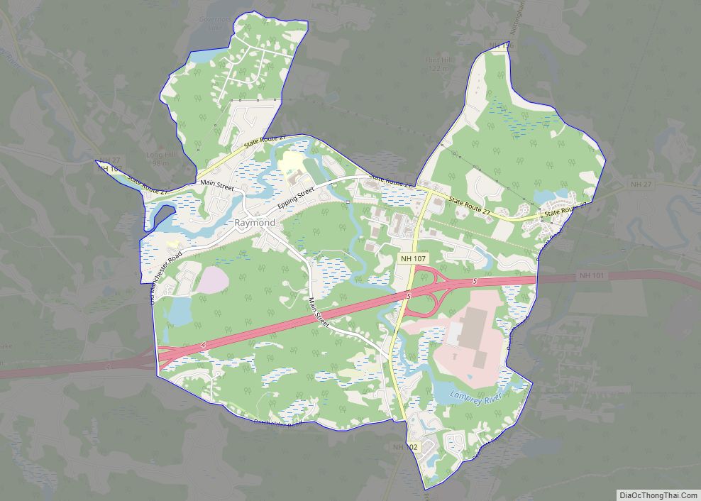
Raymond is a census-designated place (CDP) and the main village in the town of Raymond, Rockingham County, New Hampshire, United States. The population of the CDP was 3,738 at the 2020 census, out of 10,684 in the entire town. Raymond CDP overview: Name: Raymond CDP LSAD Code: 57 LSAD Description: CDP (suffix) State: New Hampshire ... Read more
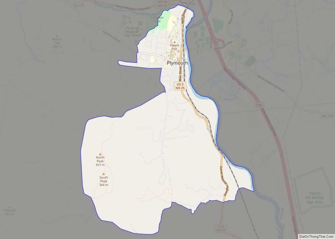
Plymouth is a census-designated place (CDP) and the main village in the town of Plymouth in Grafton County, New Hampshire, United States. Its population was 4,730 at the 2020 census, out of 6,682 in the entire town. The CDP includes the campus of Plymouth State University. Plymouth CDP overview: Name: Plymouth CDP LSAD Code: 57 ... Read more
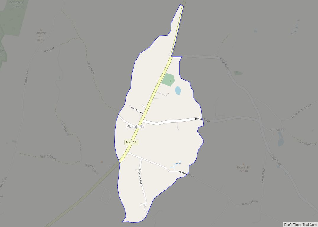
Plainfield is a census-designated place (CDP) and the namesake village in the town of Plainfield, Sullivan County, New Hampshire, United States. The population of the CDP was 178 at the 2020 census, out of 2,459 in the entire town. Plainfield CDP overview: Name: Plainfield CDP LSAD Code: 57 LSAD Description: CDP (suffix) State: New Hampshire ... Read more
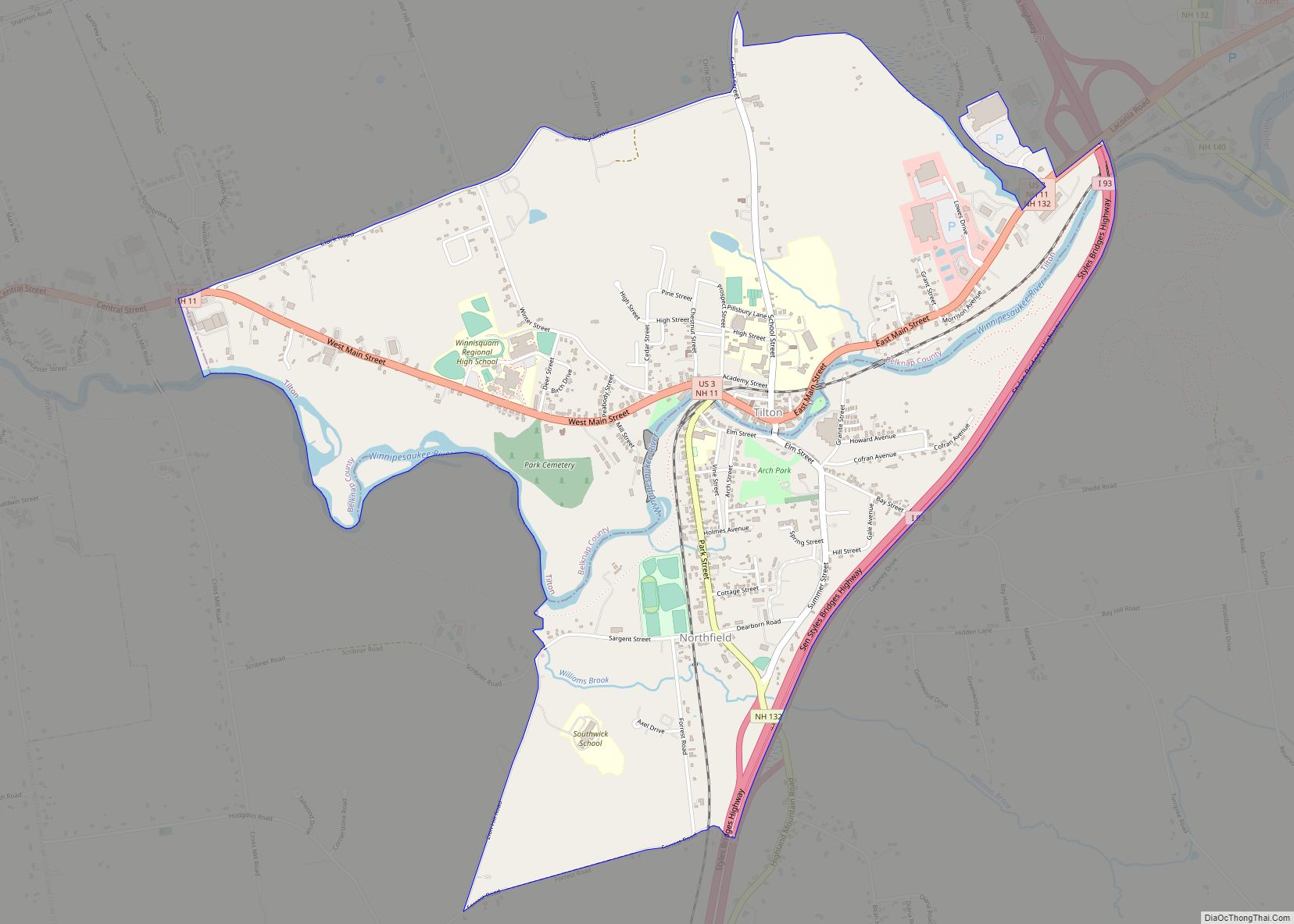
Tilton Northfield is a census-designated place (CDP) representing two adjacent villages in the towns of Tilton in Belknap County and Northfield in Merrimack County in the U.S. state of New Hampshire. The CDP encompasses the town centers of both Tilton and Northfield, located on either side of the Winnipesaukee River. The population was 3,324 at ... Read more
