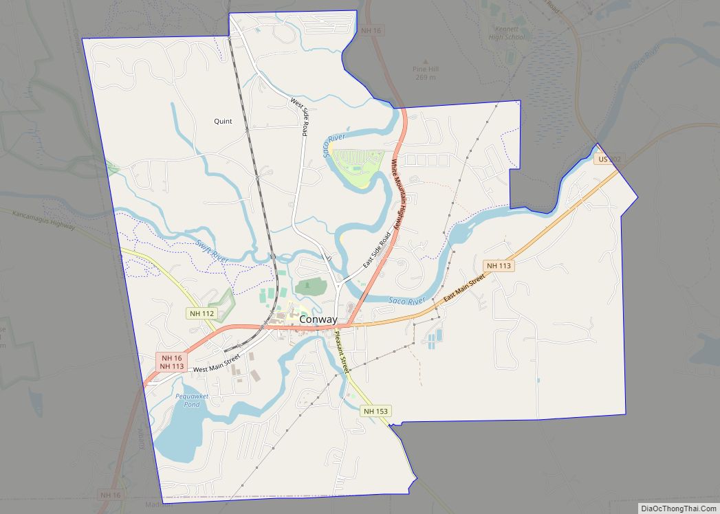
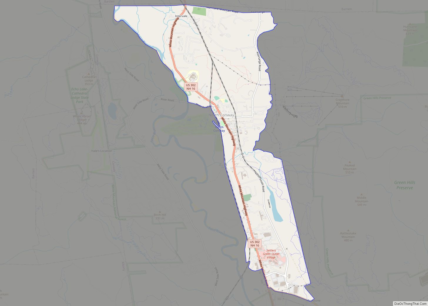
North Conway is a census-designated place (CDP) and village in eastern Carroll County, New Hampshire, United States. The population was 2,116 at the 2020 census. A year-round resort area, North Conway is the second-largest village within the town of Conway, after the village of Conway proper. North Conway maintains its own fire station, post office and public library, sharing its other services with Conway. The White Mountain National Forest is to the west and north. The area is home to Cathedral Ledge (popular with climbers), Echo Lake State Park, and Cranmore Mountain Resort. North Conway is known for its large number of outlet shops.
| Name: | North Conway CDP |
|---|---|
| LSAD Code: | 57 |
| LSAD Description: | CDP (suffix) |
| State: | New Hampshire |
| County: | Carroll County |
| Elevation: | 525 ft (160 m) |
| Total Area: | 6.96 sq mi (18.02 km²) |
| Land Area: | 6.82 sq mi (17.65 km²) |
| Water Area: | 0.14 sq mi (0.37 km²) |
| Total Population: | 2,116 |
| Population Density: | 310.49/sq mi (119.89/km²) |
| ZIP code: | 03860 (North Conway) 03847 (Kearsarge) |
| Area code: | 603 |
| FIPS code: | 3353860 |
| GNISfeature ID: | 0872395 |
| Website: | www.conwaynh.org |
Online Interactive Map
Click on ![]() to view map in "full screen" mode.
to view map in "full screen" mode.
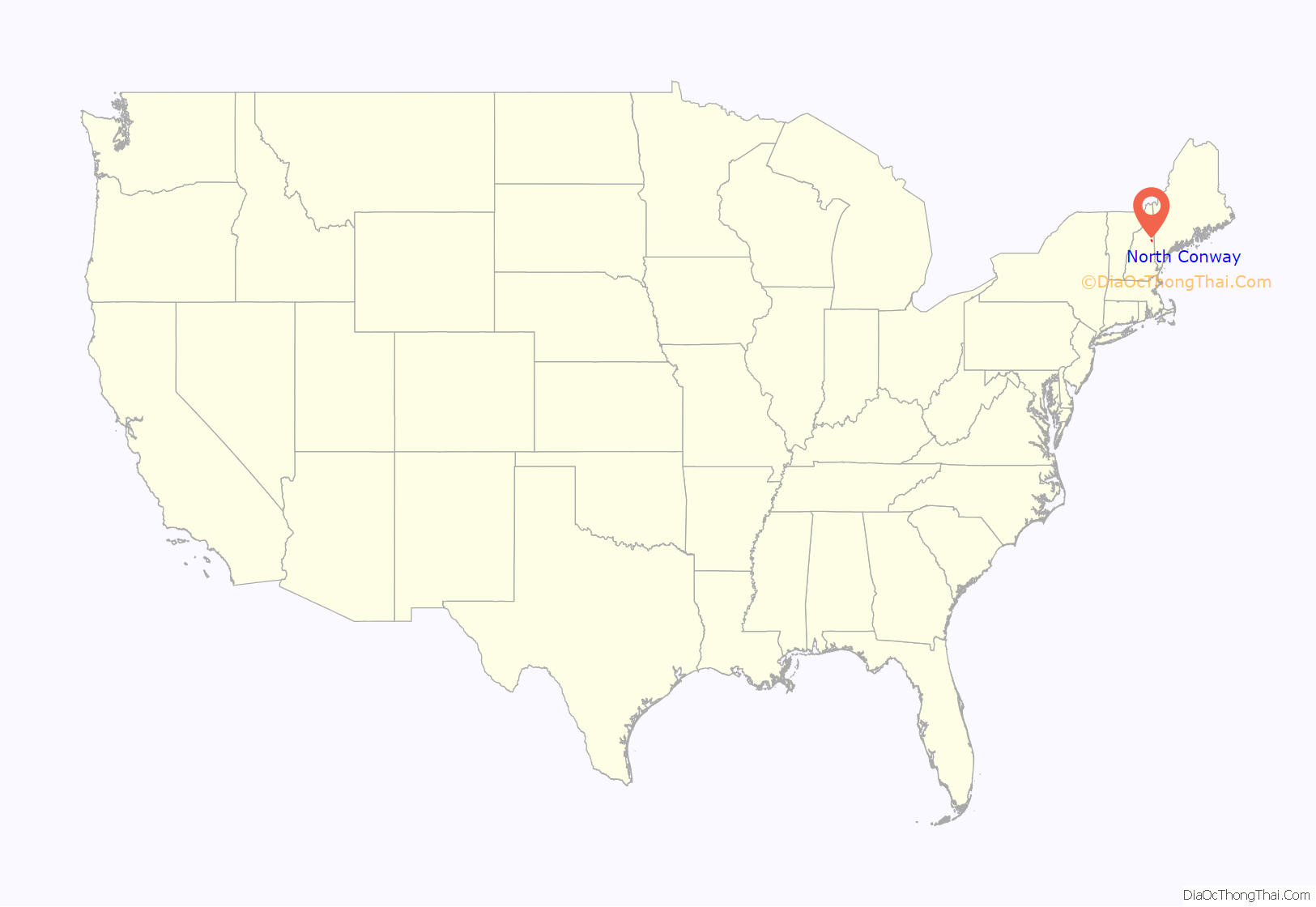
North Conway location map. Where is North Conway CDP?

History
Chartered in 1765 by colonial Governor Benning Wentworth, the town is named for Henry Seymour Conway, ambitious son of a prominent English family, who was elected to the House of Commons at age 20, fought at Culloden, and became Secretary of State. Early settlers called the area Pequawket (known colloquially as “Pigwacket”), adopting the name of the Abenaki Indian village which stretched down the Saco River to its stockaded center at Fryeburg, Maine.
North Conway is in the White Mountains, with Mount Washington to the northwest. The rugged terrain became popular in the 19th century with artists. Their paintings were known collectively as White Mountain art, which in turn attracted tourists to the area, particularly after the Portsmouth, Great Falls & Conway Railroad extended service in 1872 to North Conway. In 1874, the line built a Second Empire depot, designed by Nathaniel J. Bradlee. In 1932, “snow trains” began carrying enthusiasts to “the birthplace of American skiing”, as North Conway is known.
Increasing automobile travel brought the decline of trains. The railroad, then part of the Boston & Maine, abandoned passenger service to the area in 1961 and freight service in 1972. Subsequently, the Conway Scenic Railroad was established. Today, the line offers visitors a tour of the region, including Crawford Notch. The station is listed on the National Register of Historic Places.
In the late 1980s, the White Mountain Airport closed and was redeveloped as a large outlet mall called Settlers’ Green Outlet Village. Continued growth through the 1990s and 2000s in North Conway and the villages nearby made Conway the most populous community in Carroll County. Traffic congestion led to an overhaul of the road system, including widening Route 16 through North Conway village and constructing a road parallel to Route 16 to allow traffic to move between Redstone and Intervale uninterrupted. A plan for a bypass of the area was developed but not implemented.
North Conway remains a popular destination due to its shopping, recreation, and attractions.
North Conway Road Map
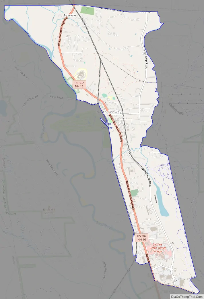
North Conway city Satellite Map

Geography
North Conway is located at 44°3′6″N 71°7′22″W / 44.05167°N 71.12278°W / 44.05167; -71.12278 (44.051534, -71.122752), in the northern part of the town of Conway.
According to the United States Census Bureau, the North Conway census-designated place (CDP) includes the village of North Conway plus the Conway portion of the neighboring community of Kearsarge. The CDP has a total area of 6.9 square miles (18.0 km), of which 6.8 square miles (17.7 km) are land and 0.2 square miles (0.4 km), or 2.04%, are water. The Saco River forms the western edge of the North Conway CDP.
Climate
See also
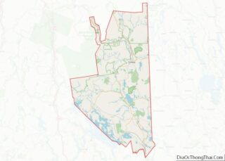
Map of New Hampshire State and its subdivision: Map of other states:- Alabama
- Alaska
- Arizona
- Arkansas
- California
- Colorado
- Connecticut
- Delaware
- District of Columbia
- Florida
- Georgia
- Hawaii
- Idaho
- Illinois
- Indiana
- Iowa
- Kansas
- Kentucky
- Louisiana
- Maine
- Maryland
- Massachusetts
- Michigan
- Minnesota
- Mississippi
- Missouri
- Montana
- Nebraska
- Nevada
- New Hampshire
- New Jersey
- New Mexico
- New York
- North Carolina
- North Dakota
- Ohio
- Oklahoma
- Oregon
- Pennsylvania
- Rhode Island
- South Carolina
- South Dakota
- Tennessee
- Texas
- Utah
- Vermont
- Virginia
- Washington
- West Virginia
- Wisconsin
- Wyoming