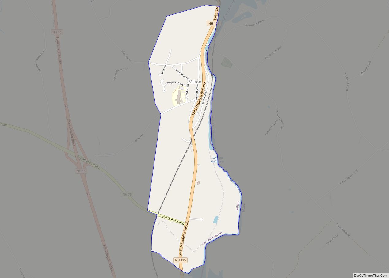
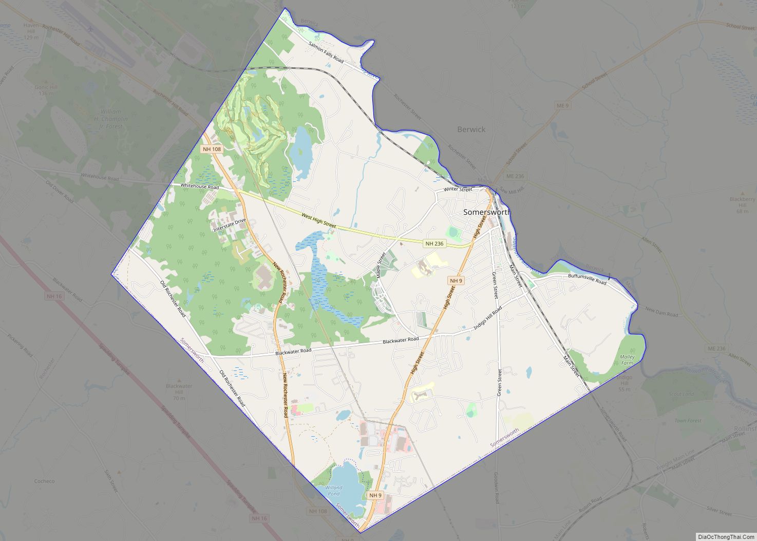
Somersworth is a city in Strafford County, New Hampshire, United States. The population was 11,855 at the 2020 census. Somersworth has the smallest area and third-lowest population of New Hampshire’s 13 cities.
| Name: | Somersworth city |
|---|---|
| LSAD Code: | 25 |
| LSAD Description: | city (suffix) |
| State: | New Hampshire |
| County: | Strafford County |
| Elevation: | 204 ft (62 m) |
| Total Area: | 10.00 sq mi (25.89 km²) |
| Land Area: | 9.80 sq mi (25.39 km²) |
| Water Area: | 0.20 sq mi (0.51 km²) |
| Total Population: | 11,855 |
| Population Density: | 1,209.57/sq mi (467.00/km²) |
| ZIP code: | 03878 |
| Area code: | 603 |
| FIPS code: | 3369940 |
| GNISfeature ID: | 0870007 |
| Website: | www.somersworth.com |
Online Interactive Map
Click on ![]() to view map in "full screen" mode.
to view map in "full screen" mode.
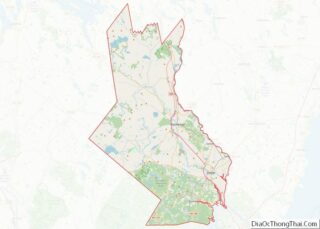
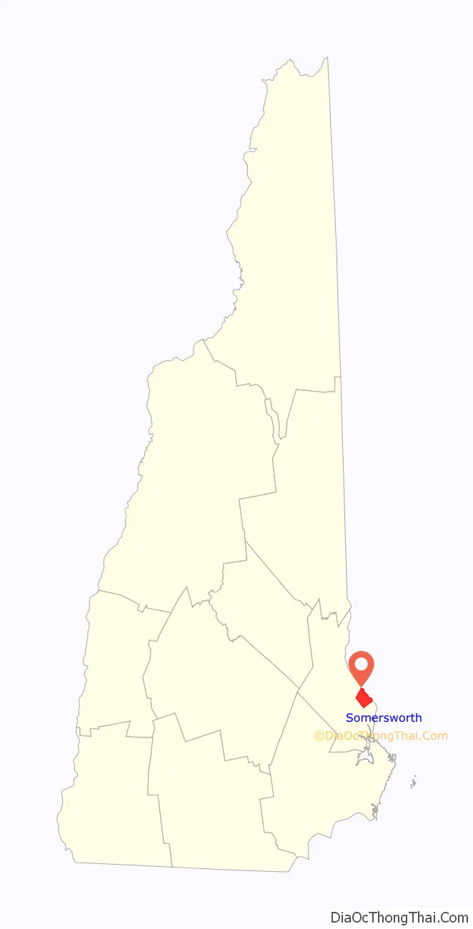
Somersworth location map. Where is Somersworth city?

History
Somersworth, originally called “Sligo” after Sligo in Ireland, was settled before 1700 as a part of Dover. It was organized in 1729 as the parish of “Summersworth”, meaning “summer town”, because during that season the ministers would preach here. It was set off and incorporated in 1754 by colonial governor Benning Wentworth, and until 1849 included Rollinsford. A clerical error at incorporation contracted the name to “Somersworth”. It would be incorporated as a city in 1893, before which it was also known as “Great Falls”.
Situated where the Salmon Falls River drops 100 feet (30 m) over a mile, Somersworth early became a mill town, beginning with gristmills and sawmills. In 1822, the brothers Isaac and Jacob Wendell of Boston purchased for $5,000 a gristmill with its water rights at the Great Falls. They established the Great Falls Manufacturing Company, a textile business that expanded to include three mills for spinning thread and weaving cotton and woolen fabrics, specializing in “drillings, shirtings and sheetings”. Throughout the 19th century, other expansive brick mill buildings, including a bleachery and dye works, were erected beside the river. The bleachery became the longest running textile operation in Somersworth. The building housed the operations that took the buff-colored fabric produced in the seven mills and transformed it into a sparkling white material that could be dyed or printed according to the buyer’s wishes. The gate house at the dam directed water as needed, regulating the flow either into the river or a company canal, which itself had gates sending it under the mill. Water power turned the wheels and belts that operated mill machinery. The railroad arrived in the early 1840s, before which goods were carted to Dover.
At first millworkers came from surrounding farms, including those in Berwick, Maine, directly across the bridge. Many were women. But as the need for labor grew, immigrants arrived from Ireland, and later Quebec. Brick tenement row houses were rented by the company to employee families, many of whose members worked in the mills beside their parents before passage of child labor laws. For relaxation, workers found entertainment at the Opera House or at Central Park, an amusement park beside Willand Pond. In the early 1870s, the Portsmouth, Great Falls & Conway Railroad began excursions to the White Mountains. The Electric Street Railway came in 1890, allowing trolley rides to York Beach, Maine.
But the New England textile industry went into decline in the 20th century. Water power was replaced with newer forms of energy, and cotton could be manufactured where it grew, saving transportation costs. Labor was also cheaper in the South, which did not have New Hampshire‘s inventory tax that levied commodities like coal and cotton at the plants. The Great Depression sent many regional textile firms into bankruptcy, when some local facilities were adapted for shoemaking. The Great Falls Manufacturing Company’s big mill was renovated for other uses in the 1980s, although the bleachery suffered a devastating fire in November 2003, which required assistance from 23 fire departments from New Hampshire and Maine. Aclara Technologies operates a factory (previously owned by General Electric Company) that manufactures state of the art electric meters for the energy business.
Somersworth’s heyday was during the mill era. Although frequently overshadowed by the larger neighboring cities of Dover and Rochester, Somersworth retains a quantity of Victorian architecture from its prosperous age. Some antique residences, most notably within the historic district known as “The Hill”, have been restored. The municipality is today largely a bedroom community for other cities and the Portsmouth Naval Shipyard. The upper end of High Street, however, continues to develop as a retail center, with several big-box chain stores.
One ship of the United States Navy was named after the city; the USS Somersworth (PCE(R)-849) was a PCE-842-class patrol craft. Commissioned in April 1944, it was named after the city in February 1956, and remained in service until decommissioned in September 1965. The ship was present at the surrender of Japan in Tokyo Bay at the end of World War II.
Opera House c. 1908
R. R. Station c. 1908
Mill No. 1 c. 1906
Salmon Falls River c. 1915, looking to Berwick, Maine
USS Somersworth c. 1960s
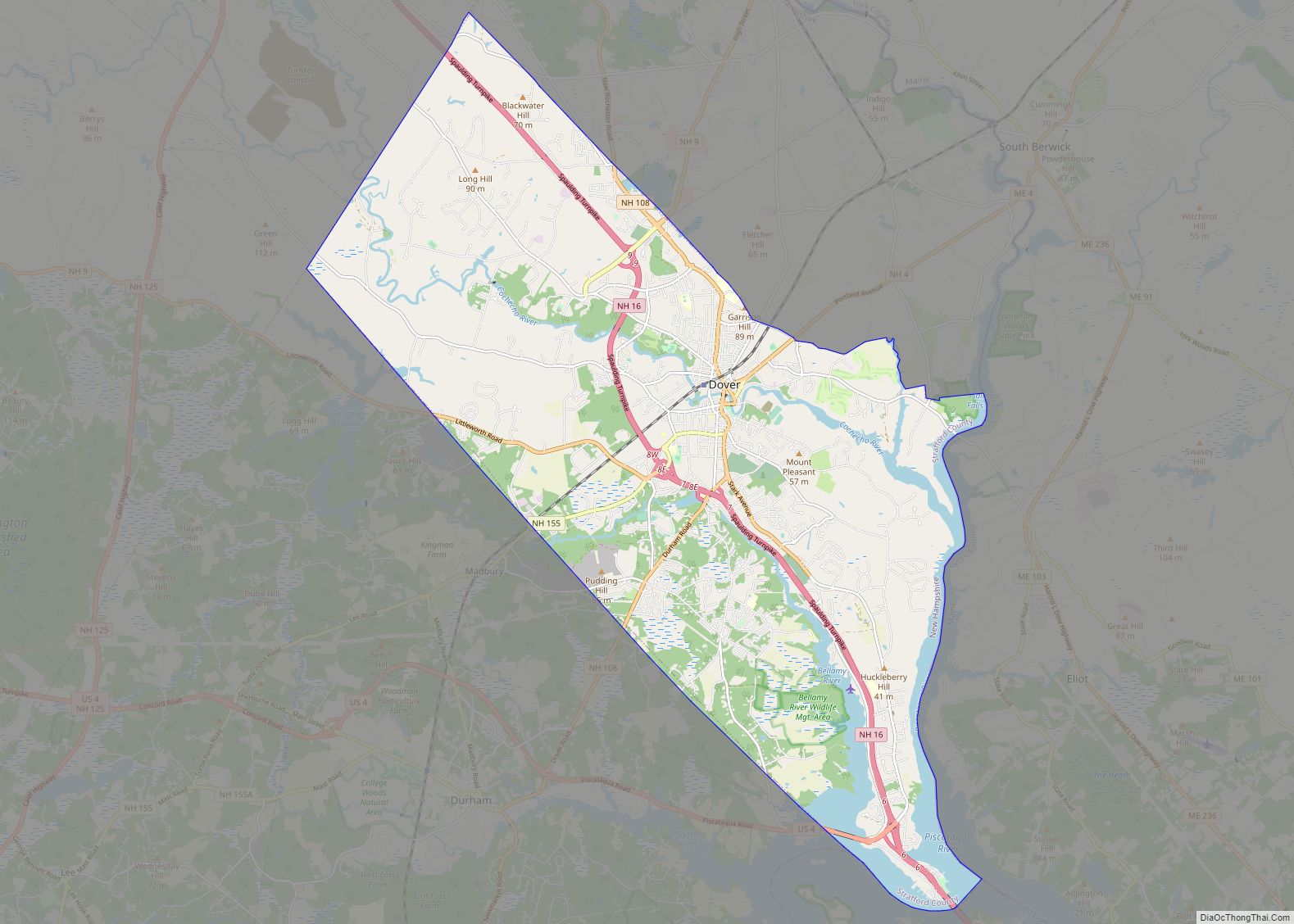
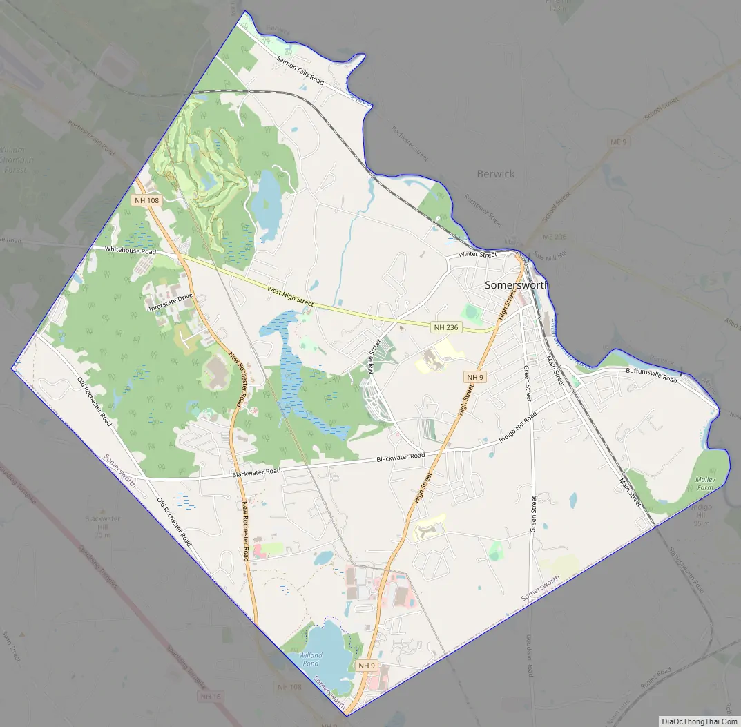
Somersworth Road Map
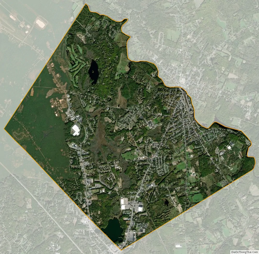
Somersworth city Satellite Map
Geography
Somersworth is located in eastern Strafford County at 43°15′14″N 70°52′32″W / 43.25389°N 70.87556°W / 43.25389; -70.87556 (43.253783, −70.875499).
According to the United States Census Bureau, the city has a total area of 10.0 square miles (25.9 km), of which 9.8 square miles (25.4 km) are land and 0.2 square miles (0.5 km) are water, comprising 1.96% of the city. Somersworth is bordered to the northeast by the Salmon Falls River, which is also the state boundary with Maine. The highest point in Somersworth is Prospect Hill rising just west of the city center, on which the city reservoir is built. The hill’s elevation is approximately 310 feet (94 m) above sea level.
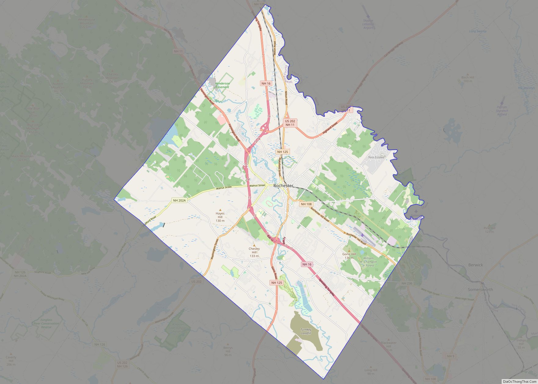
New Hampshire Route 9 (High Street) is the main road through the city, leading north into Berwick, Maine, and south into Dover. New Hampshire Route 108 passes through a western portion of the city, leading northwest to Rochester and south to Dover. New Hampshire Route 236 (West High Street) leads west out of downtown to NH 108.
Adjacent municipalities
- Berwick, Maine (north)
- Rollinsford, New Hampshire (southeast)
- Dover, New Hampshire (southwest)
- Rochester, New Hampshire (northwest)
See also
Map of New Hampshire State and its subdivision: Map of other states:- Alabama
- Alaska
- Arizona
- Arkansas
- California
- Colorado
- Connecticut
- Delaware
- District of Columbia
- Florida
- Georgia
- Hawaii
- Idaho
- Illinois
- Indiana
- Iowa
- Kansas
- Kentucky
- Louisiana
- Maine
- Maryland
- Massachusetts
- Michigan
- Minnesota
- Mississippi
- Missouri
- Montana
- Nebraska
- Nevada
- New Hampshire
- New Jersey
- New Mexico
- New York
- North Carolina
- North Dakota
- Ohio
- Oklahoma
- Oregon
- Pennsylvania
- Rhode Island
- South Carolina
- South Dakota
- Tennessee
- Texas
- Utah
- Vermont
- Virginia
- Washington
- West Virginia
- Wisconsin
- Wyoming