Map of Robbinsville CDP, New Jersey
Robbinsville is a census-designated place (CDP) located within Robbinsville Township (known as Washington Township until 2007) in Mercer County, New Jersey, United States. The area is served as United States Postal Service ZIP Code 08691. As of the 2010 United States Census, the population for the CDP was 3,041. The CDP includes the area of ... Read more
Map of Robbinsville CDP, New Jersey
Map of Riverton borough, New Jersey
Riverton is a borough located in Burlington County, in the U.S. state of New Jersey. As of the 2020 United States census, the borough’s population was 2,764, a decrease of 15 (−.5%) from the 2010 census count of 2,779, which in turn reflected an increase of 20 (+0.7%) from the 2,759 counted in the 2000 ... Read more
Map of Riverton borough, New Jersey
Map of Riverdale borough, New Jersey
Riverdale is a borough in Morris County, in the U.S. state of New Jersey. As of the 2020 United States census, the borough’s population was 4,107, an increase of 548 (+15.4%) from the 2010 census count of 3,559, which in turn reflected an increase of 1,061 (+42.5%) from the 2,498 counted at the 2000 Census. ... Read more
Map of Riverdale borough, New Jersey
Map of River Edge borough
River Edge is a borough in Bergen County, in the U.S. state of New Jersey. As of the 2020 United States census, the borough’s population was 12,049, an increase of 709 (+6.3%) from the 2010 census count of 11,340, which in turn reflected an increase of 394 (+3.6%) from the 10,946 counted at the 2000 ... Read more
Map of River Edge borough
Map of Rio Grande CDP, New Jersey
Rio Grande (/rioʊɡrʌndeɪ/) is an unincorporated community and census-designated place (CDP) located within Middle Township and Lower Township in Cape May County, New Jersey, United States. Though for the 1990 to 2010 U.S. censuses the CDP was entirely located within Middle Township, a small section at the southern edge of the community, located in Lower ... Read more
Map of Rio Grande CDP, New Jersey
Map of Ringwood borough, New Jersey
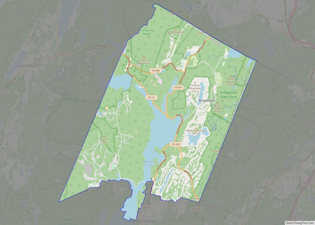
Ringwood is a borough in Passaic County, in the U.S. state of New Jersey. As of the 2020 United States census, the borough’s population was 11,735, a decrease of 493 (−4.0%) from the 2010 census count of 12,228, which in turn reflected a decrease of 168 (−1.4%) from the 12,396 counted in the 2000 Census. ... Read more
Map of Ringwood borough, New Jersey
Map of Ridgewood village
Ridgewood is a village in Bergen County, in the U.S. state of New Jersey. Ridgewood is a suburban bedroom community of New York City, located approximately 20 miles (32 km) northwest of Midtown Manhattan. As of the 2020 United States census, the village’s population was 25,979, an increase of 1,021 (+4.1%) from the 2010 census count ... Read more
Map of Ridgewood village
Map of Ridgefield borough, New Jersey
Ridgefield is a borough in Bergen County, in the U.S. state of New Jersey. As of the 2020 United States census, the borough’s population was 11,501, an increase of 469 (+4.3%) from the 2010 census count of 11,032, which in turn reflected an increase of 202 (+1.9%) from the 10,830 counted in the 2000 census. ... Read more
Map of Ridgefield borough, New Jersey
Map of Roebling CDP
Roebling is an unincorporated community and census-designated place (CDP) located within Florence Township, in Burlington County, New Jersey, United States, that was established as part of the 2010 United States census. As of the 2000 United States census, the CDP was combined as Florence-Roebling, which had a total population of 8,200. As of the 2010 ... Read more
Map of Roebling CDP
Map of Rocky Hill borough
Rocky Hill is a borough in Somerset County, in the U.S. state of New Jersey, named for the Rocky Hill Ridge. As of the 2020 United States census, the borough’s population was 743, an increase of 61 (+8.9%) from the 2010 census count of 682, which in turn reflected an increase of 20 (+3.0%) from ... Read more
Map of Rocky Hill borough
Map of Rockleigh borough
Rockleigh (pronounced ROCK-lee) is a borough in northeastern Bergen County, in the U.S. state of New Jersey. As of the 2020 United States census, the borough’s population was 407, a decrease of 124 (−23.4%) from the 2010 census count of 531, which in turn reflected an increase of 140 (+35.8%) from the 391 counted at ... Read more
Map of Rockleigh borough
Map of Rossmoor CDP, New Jersey
Rossmoor is an unincorporated community and census-designated place (CDP) located within Monroe Township in Middlesex County, New Jersey, United States. As of the 2010 United States Census, the CDP’s population was 2,666. Rossmoor is a gated age-restricted co-op, active adult community . Rossmoor covers 418 acres (1.69 km) just off Exit 8A of the New Jersey ... Read more
Map of Rossmoor CDP, New Jersey