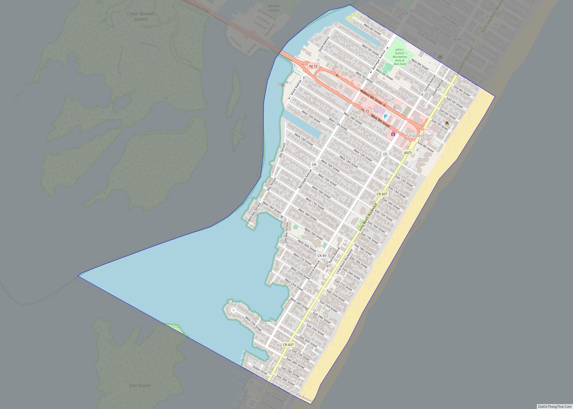
Map of Seaside Heights borough

Map of Seaside Heights borough

Seaside Heights is a borough situated on the Jersey Shore, within Ocean County, in the U.S. state of New Jersey. As of the 2020 United States census, the borough’s population was 2,440, a decrease of 447 (−15.5%) from the 2010 census count of 2,887, which in turn had reflected a decline of 268 (−8.5%) from … Read more

Map of Silver Lake CDP, New Jersey

Map of Silver Lake CDP, New Jersey

Silver Lake is an unincorporated community and census-designated place (CDP) in Essex County, New Jersey, United States, that is split between Belleville (with 3,769 of the CDP’s residents) and Bloomfield (474 of the total). As of the 2010 United States Census, the CDP’s total population was 4,243. Silver Lake CDP overview: Name: Silver Lake CDP … Read more

Map of Somerville borough, New Jersey

Map of Somerville borough, New Jersey

Somerville is a borough and the county seat of Somerset County, in the U.S. state of New Jersey. The borough is located in the heart of the Raritan Valley region within the New York Metropolitan Area, located about 33 miles (53 km) from Manhattan and 20 miles (32 km) from Staten Island. The borough has grown to … Read more

Map of Somerset CDP, New Jersey

Map of Somerset CDP, New Jersey

Somerset is an unincorporated community and census-designated place (CDP) located within Franklin Township, in Somerset County, New Jersey, United States. As of the 2010 United States Census, the CDP’s population was 22,083. Somerset housed one of the first Marconi Wireless Stations in the United States. Somerset CDP overview: Name: Somerset CDP LSAD Code: 57 LSAD … Read more

Map of Somers Point city

Map of Somers Point city

Somers Point is a city that is the oldest settlement in Atlantic County, in the U.S. state of New Jersey. It was settled by Europeans in 1693 and was incorporated as a borough in 1886. Somers Point was incorporated as a city in 1902. As of the 2020 United States census, the city’s population was … Read more

Map of Somerdale borough

Map of Somerdale borough

Somerdale is a borough in Camden County, in the U.S. state of New Jersey. As of the 2020 United States census, the borough’s population was 5,566, an increase of 415 (+8.1%) from the 2010 census count of 5,151, which in turn reflected a decline of 41 (−0.8%) from the 5,192 counted in the 2000 census. … Read more

Map of Society Hill CDP

Map of Society Hill CDP, New Jersey

Society Hill is an unincorporated community and census-designated place (CDP) located within Piscataway Township, in Middlesex County, in the U.S. state of New Jersey. As of the 2010 United States Census, the CDP’s population was 3,829. Society Hill CDP overview: Name: Society Hill CDP LSAD Code: 57 LSAD Description: CDP (suffix) State: New Jersey County: … Read more

Map of Smithville CDP, New Jersey

Map of Smithville CDP, New Jersey

Smithville is an unincorporated community and census-designated place (CDP) located within Galloway Township, in Atlantic County, in the U.S. state of New Jersey, that was established as part of the 2010 United States Census. Smithville is located 15 miles (24 km) north of and inland from Atlantic City. As of the 2010 Census, the CDP’s population … Read more

Map of Skillman CDP

Map of Skillman CDP

Skillman is an unincorporated community and census-designated place (CDP) located within Montgomery Township, in Somerset County, in the U.S. state of New Jersey. As of the 2010 United States Census, the CDP’s population was 242. The area is served as United States Postal Service ZIP Code 08558. However, the Skillman postal address covers an area … Read more

Map of Six Mile Run CDP

Map of Six Mile Run CDP

Six Mile Run is an unincorporated community and census-designated place (CDP) located in Franklin Township, in Somerset County, New Jersey, United States. As of the 2010 United States Census, the CDP’s population was 3,184. Six Mile Run CDP overview: Name: Six Mile Run CDP LSAD Code: 57 LSAD Description: CDP (suffix) State: New Jersey County: … Read more

Map of Singac CDP

Map of Singac CDP

Singac (pronounced SING-ack) is an unincorporated community and census-designated place (CDP) located within Little Falls Township, in Passaic County, New Jersey, United States. As of the 2010 United States Census, the CDP’s population was 3,618. Singac CDP overview: Name: Singac CDP LSAD Code: 57 LSAD Description: CDP (suffix) State: New Jersey County: Passaic County Elevation: … Read more

Map of Silver Ridge CDP

Map of Silver Ridge CDP

Silver Ridge is an unincorporated community and census-designated place (CDP) located within Berkeley Township, in Ocean County, New Jersey, United States. As of the 2010 United States Census, the CDP’s population was 1,133. Silver Ridge CDP overview: Name: Silver Ridge CDP LSAD Code: 57 LSAD Description: CDP (suffix) State: New Jersey County: Ocean County Elevation: … Read more