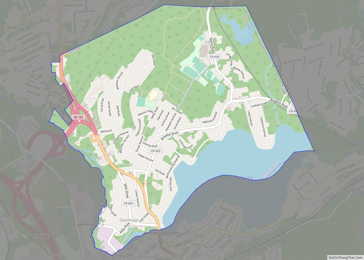
Stanhope is a borough in Sussex County, in the U.S. state of New Jersey. As of the 2020 United States census, the borough’s population was 3,526, a decrease of 84 (−2.3%) from the 2010 census count of 3,610, which in turn reflected an increase of 26 (+0.7%) from the 3,584 counted in the 2000 census. ... Read more
New Jersey Cities and Places
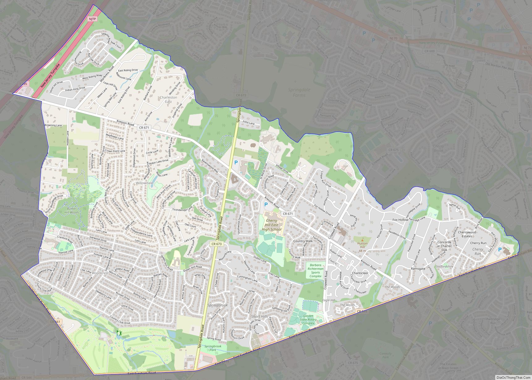
Springdale is an unincorporated community and census-designated place (CDP) located within Cherry Hill Township, in Camden County, New Jersey, United States. As of the 2010 United States Census, the section population was 14,518. Springdale CDP overview: Name: Springdale CDP LSAD Code: 57 LSAD Description: CDP (suffix) State: New Jersey County: Camden County Elevation: 59 ft (18 m) ... Read more
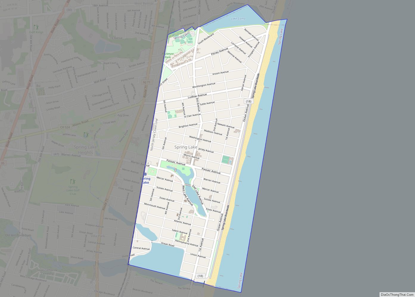
Spring Lake is a borough situated on the Jersey Shore in Monmouth County, in the U.S. state of New Jersey. As of the 2020 United States census, the borough’s population was 2,789, a decrease of 204 (−6.8%) from the 2010 census count of 2,993, which in turn reflected reflected a decline of 574 (−16.1%) from ... Read more
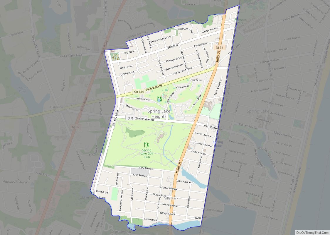
Spring Lake Heights is a borough located in the southern coastal portion of Monmouth County, in the U.S. state of New Jersey. As of the 2020 United States census, the borough’s population was 4,890, an increase of 177 (+3.8%) from the 2010 census count of 4,713, which in turn reflected a decline of 514 (−9.8%) ... Read more
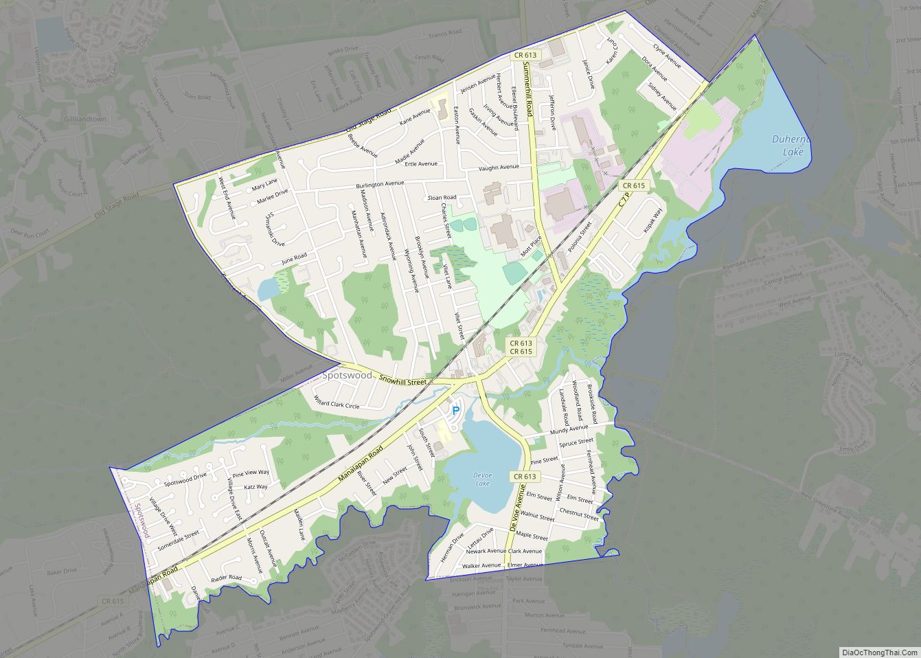
Spotswood is a borough in Middlesex County, in the U.S. state of New Jersey. The community is nestled within the heart of the Raritan Valley region, with the Manalapan Brook and Matchaponix Brook forming the confluence of the South River (a Raritan River tributary) inside the borough. As of the 2020 United States census, the ... Read more
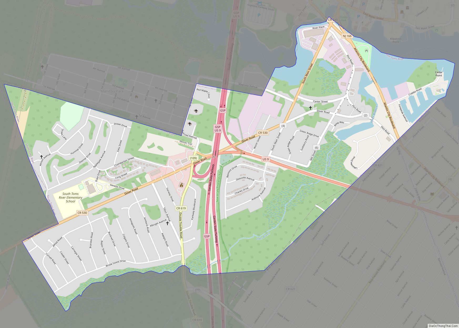
South Toms River is a borough in Ocean County, New Jersey, United States. As of the 2020 United States census, the borough’s population was 3,643, a decrease of 41 (−1.1%) from the 2010 census count of 3,684, which in turn reflected an increase of 50 (+1.4%) from the 3,634 counted in the 2000 census. South ... Read more
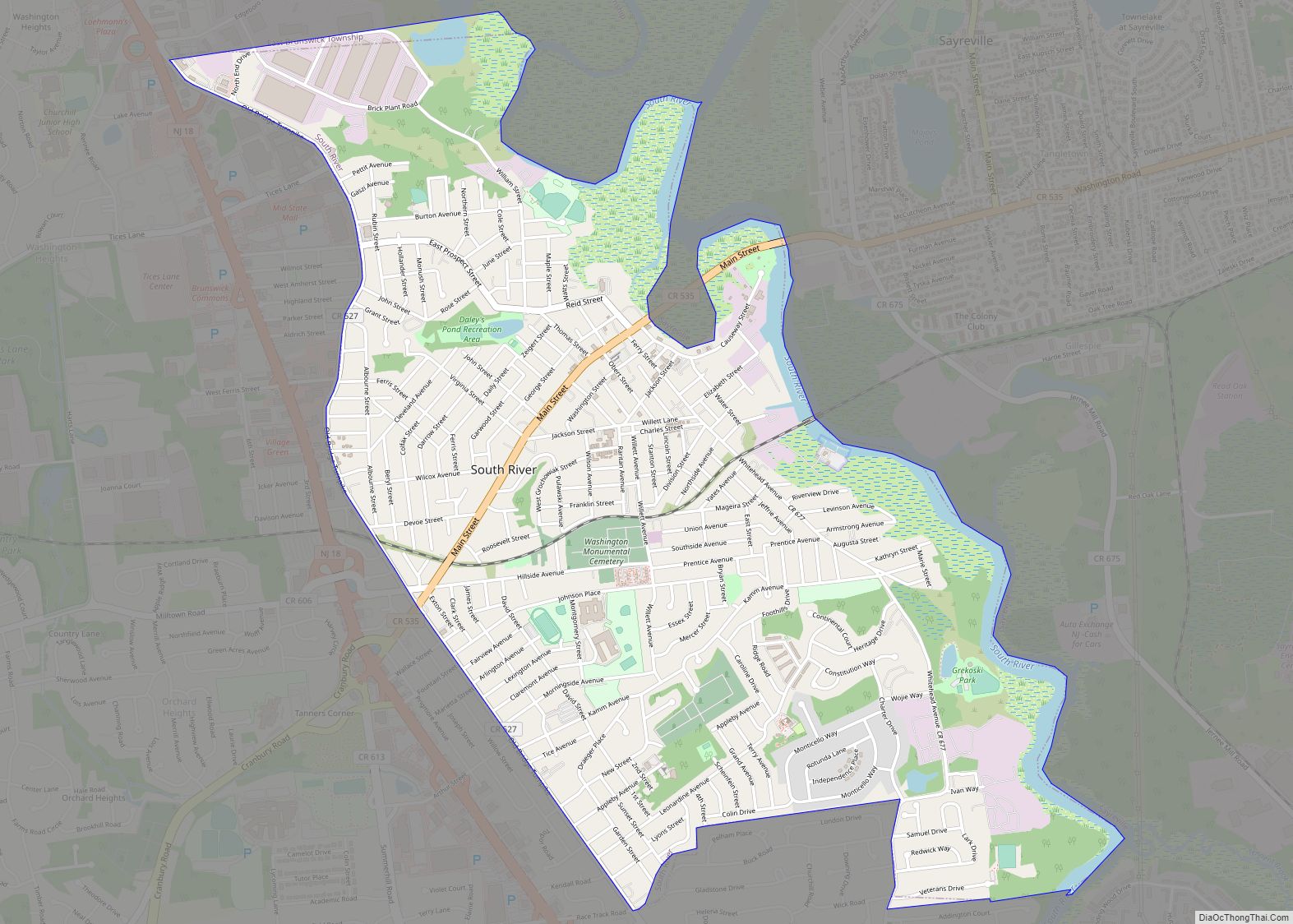
South River is a borough in Middlesex County, in the U.S. state of New Jersey. As of the 2020 United States census, the borough’s population was 16,118, an increase of 110 (+0.7%) from the 2010 census count of 16,008, which in turn reflected an increase of 686 (+4.5%) from the 15,322 counted in the 2000 ... Read more
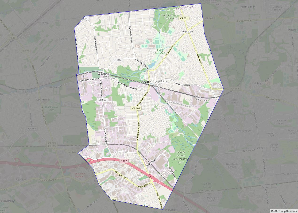
South Plainfield is a borough in Middlesex County, in the U.S. state of New Jersey. It is located in the heart of the Raritan Valley region. As of the 2020 United States census, the borough’s population was 24,338, an increase of 953 (+4.1%) from the 2010 census count of 23,385, which in turn reflected an ... Read more
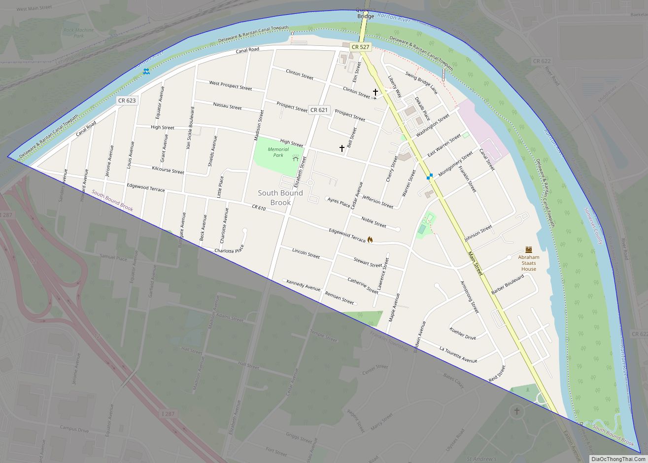
South Bound Brook is a borough in Somerset County, in the U.S. state of New Jersey. As of the 2020 United States census, the borough’s population was 4,863, an increase of 300 (+6.6%) from the 2010 census count of 4,563, which in turn reflected an increase of 71 (+1.6%) from the 4,492 counted in the ... Read more
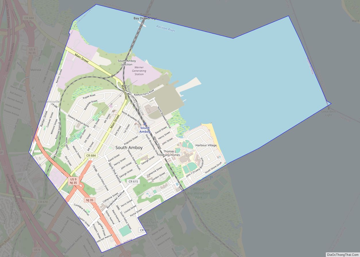
South Amboy is a suburban city in Middlesex County, in the U.S. state of New Jersey, located on Raritan Bay. As of the 2020 United States census, the city’s population was 9,411, an increase of 780 (+9.0%) from the 2010 census count of 8,631, which in turn reflected an increase of 718 (+9.1%) from the ... Read more
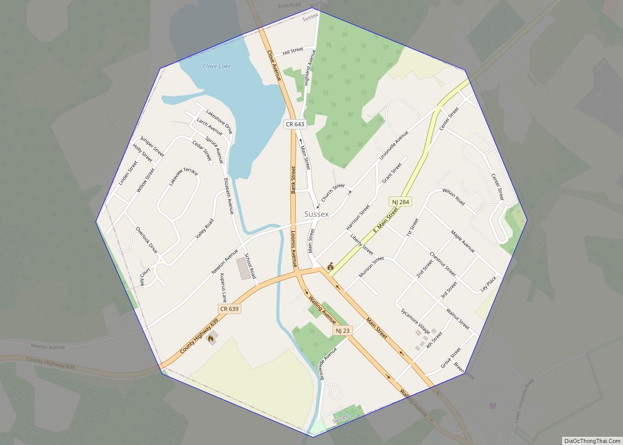
Sussex is a borough in Sussex County, in the U.S. state of New Jersey. As of the 2020 United States census, the borough’s population was 2,024, a decrease of 106 (−5.0%) from the 2010 census count of 2,130, which in turn reflected a decline of 15 (−0.7%) from the 2,145 counted in the 2000 census. ... Read more
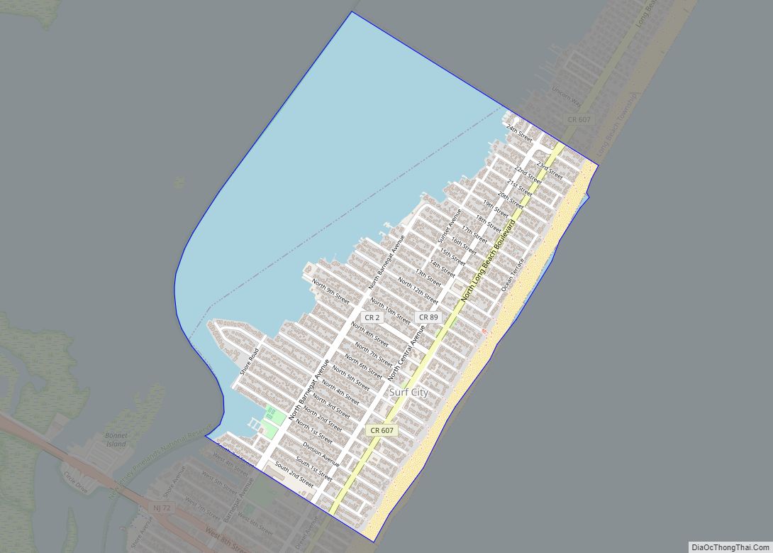
Surf City is a borough in Ocean County, in the U.S. state of New Jersey. As of the 2020 United States census, the borough’s population was 1,243, an increase of 38 (+3.2%) from the 2010 census count of 1,205, which in turn reflected a decline of 237 (−16.4%) from the 1,442 counted in the 2000 ... Read more
