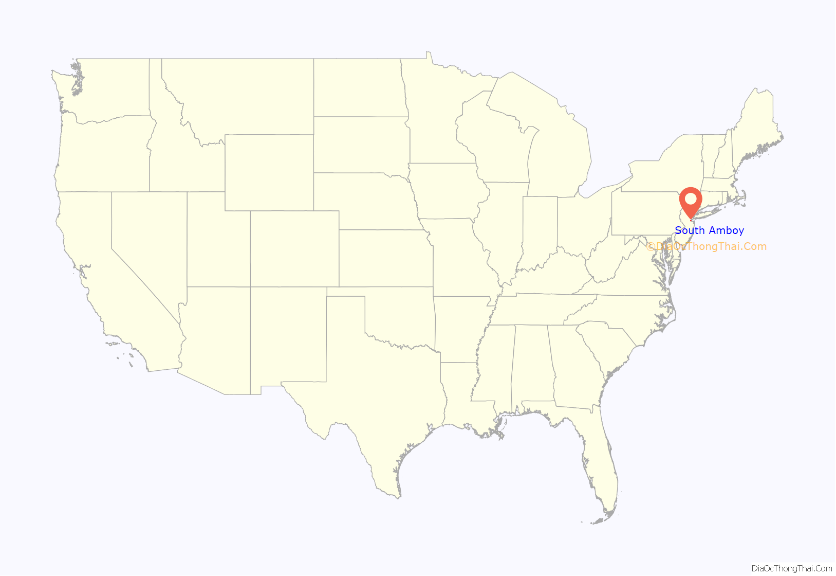
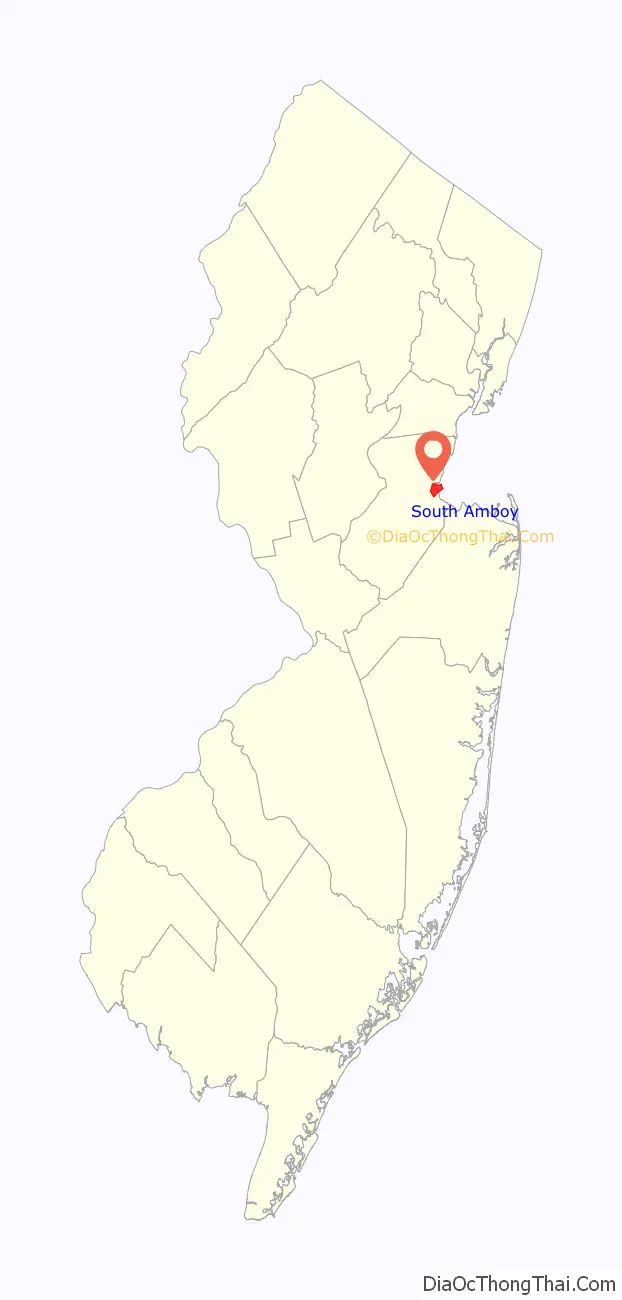
South Amboy is a suburban city in Middlesex County, in the U.S. state of New Jersey, located on Raritan Bay. As of the 2020 United States census, the city’s population was 9,411, an increase of 780 (+9.0%) from the 2010 census count of 8,631, which in turn reflected an increase of 718 (+9.1%) from the 7,913 counted in the 2000 census.
South Amboy and Perth Amboy, across the Raritan River, are collectively referred to as The Amboys. Signage for exit 11 on the New Jersey Turnpike refers to “The Amboys” as a destination.
| Name: | South Amboy city |
|---|---|
| LSAD Code: | 25 |
| LSAD Description: | city (suffix) |
| State: | New Jersey |
| County: | Middlesex County |
| Incorporated: | February 21, 1798 |
| Elevation: | 10 ft (3 m) |
| Total Area: | 2.70 sq mi (6.99 km²) |
| Land Area: | 1.54 sq mi (3.98 km²) |
| Water Area: | 1.16 sq mi (3.01 km²) 42.76% |
| Total Population: | 9,411 |
| Population Density: | 6,119.0/sq mi (2,362.6/km²) |
| Area code: | 732 and 848 |
| FIPS code: | 3468550 |
| GNISfeature ID: | 0885399 |
| Website: | www.southamboynj.gov |
Online Interactive Map
Click on ![]() to view map in "full screen" mode.
to view map in "full screen" mode.
South Amboy location map. Where is South Amboy city?
History
First settled by the Lenape Native Americans, who called the area around Perth Amboy by the name “Ompoge” (meaning “level ground”), the settlement ultimately became a key port for commerce between Lower New York Bay and Philadelphia, connected first by stagecoach and eventually by railroad. When settled by Europeans in 1684, the city was named New Perth in honor of James Drummond, Earl of Perth, one of the associates of a company of Scottish proprietaries. The Algonquian language name was corrupted to Ambo, or Point Amboy, and eventually a combination of the native and colonial names was used.
South Amboy has passed through three of the five types of New Jersey municipalities. It was first mentioned on May 28, 1782, in minutes of the Board of Chosen Freeholders as having been formed from Perth Amboy Township. It was formally incorporated as a township by the Township Act of 1798 on February 21, 1798. Over the next 90 years, portions split off to form Monroe Township (April 9, 1838), Madison Township (March 2, 1869; later renamed as Old Bridge Township) and Sayreville Township (April 6, 1876; later Borough of Sayreville). As of February 25, 1888, South Amboy borough was formed, replacing South Amboy Township. On April 11, 1908, South Amboy was incorporated as a city, replacing South Amboy borough, confirmed by a referendum held on July 21, 1908.
Ammunition explosions
As a result of South Amboy’s strategic location as a transportation hub, the city has been heavily damaged by military explosives in two major incidents. The 1918 explosions occurred during World War I at the Gillespie Shell Loading Plant, just south of the town. The 1950 explosion struck as Healing Lighterage Company dockworkers were transferring ammunition from a freight train onto barges. Both disasters killed dozens and injured hundreds of local victims, damaged hundreds of South Amboy buildings, required emergency declarations of martial law, and scattered wide areas of ammunition remnants that continue to surface occasionally.
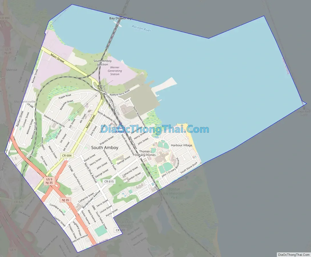
South Amboy Road Map
South Amboy city Satellite Map
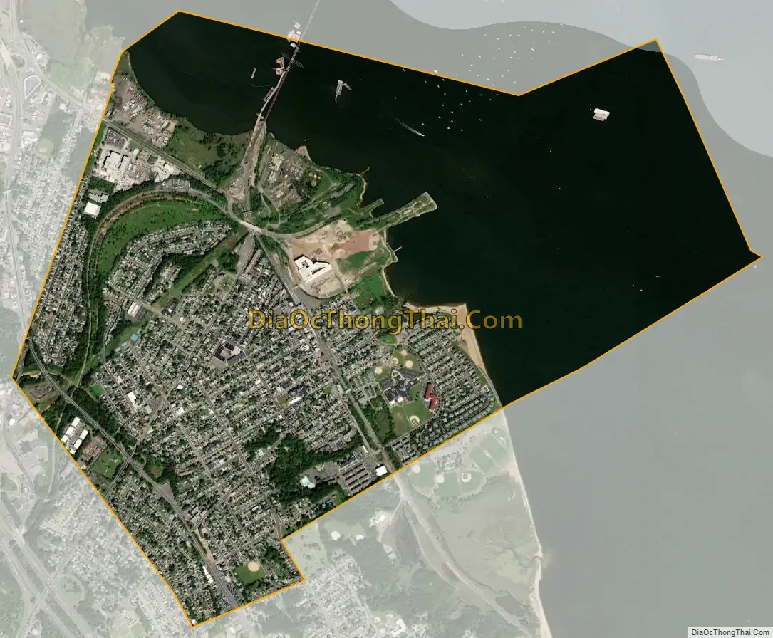
Geography
According to the United States Census Bureau, the city had a total area of 2.68 square miles (6.95 km), including 1.54 square miles (3.98 km) of land and 1.15 square miles (2.97 km) of water (42.76%). South Amboy is bordered by land with Sayreville to the south and west, by Perth Amboy to the north (across the Raritan River), and Staten Island to the east (across the Raritan Bay in New York City).
Area codes 732 and 848 are used in South Amboy. The city had been in area code 908, until January 1, 1997, when 908 was split forming area code 732. South Amboy has an enclave of apartments near Kohl’s in Sayreville, whose residents use a South Amboy mailing address. The Melrose and Morgan sections of Sayreville and the Laurence Harbor section of Old Bridge also use the South Amboy Zip Code of 08879. Mechanicsville, White’s Dock, and Thomas J. Dohany Homes are neighborhoods in the city.
See also
Map of New Jersey State and its subdivision: Map of other states:- Alabama
- Alaska
- Arizona
- Arkansas
- California
- Colorado
- Connecticut
- Delaware
- District of Columbia
- Florida
- Georgia
- Hawaii
- Idaho
- Illinois
- Indiana
- Iowa
- Kansas
- Kentucky
- Louisiana
- Maine
- Maryland
- Massachusetts
- Michigan
- Minnesota
- Mississippi
- Missouri
- Montana
- Nebraska
- Nevada
- New Hampshire
- New Jersey
- New Mexico
- New York
- North Carolina
- North Dakota
- Ohio
- Oklahoma
- Oregon
- Pennsylvania
- Rhode Island
- South Carolina
- South Dakota
- Tennessee
- Texas
- Utah
- Vermont
- Virginia
- Washington
- West Virginia
- Wisconsin
- Wyoming


