Beachwood is a borough in Ocean County, in the U.S. state of New Jersey. As of the 2020 United States census, the borough’s population was 10,859, a decrease of 186 (−1.7%) from the 2010 census count of 11,045, which in turn reflected reflected an increase of 670 (+6.5%) from the 10,375 counted in the 2000 ... Read more
New Jersey Cities and Places
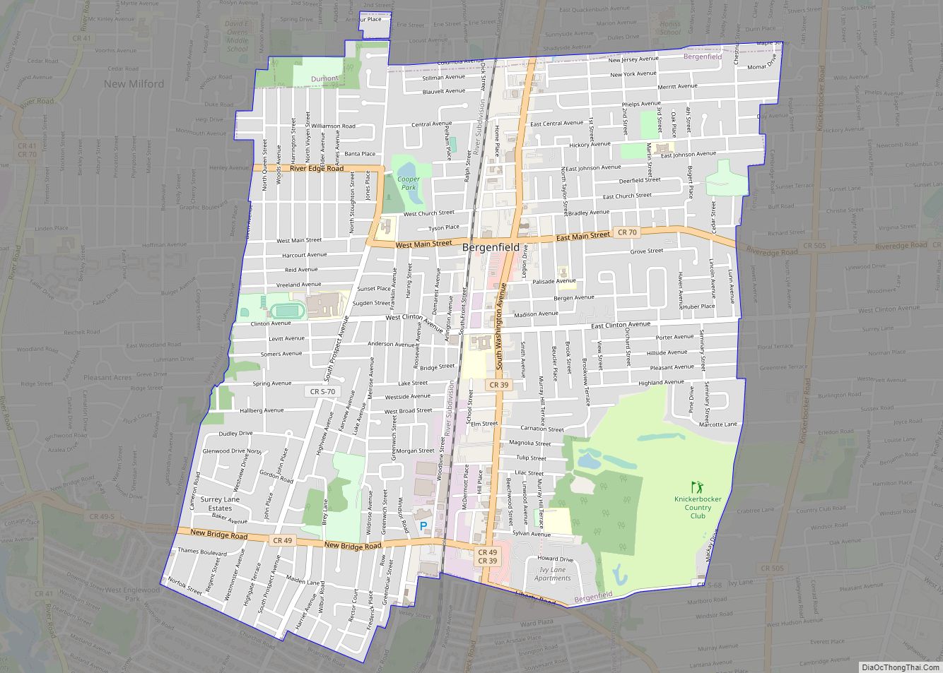
Bergenfield is a borough in Bergen County, in the U.S. state of New Jersey. As of the 2020 United States census, the borough’s population was 28,321, an increase of 1,557 (+5.8%) from the 2010 census count of 26,764, which in turn reflected an increase of 517 (+2.0%) from the 26,247 counted in the 2000 census. ... Read more
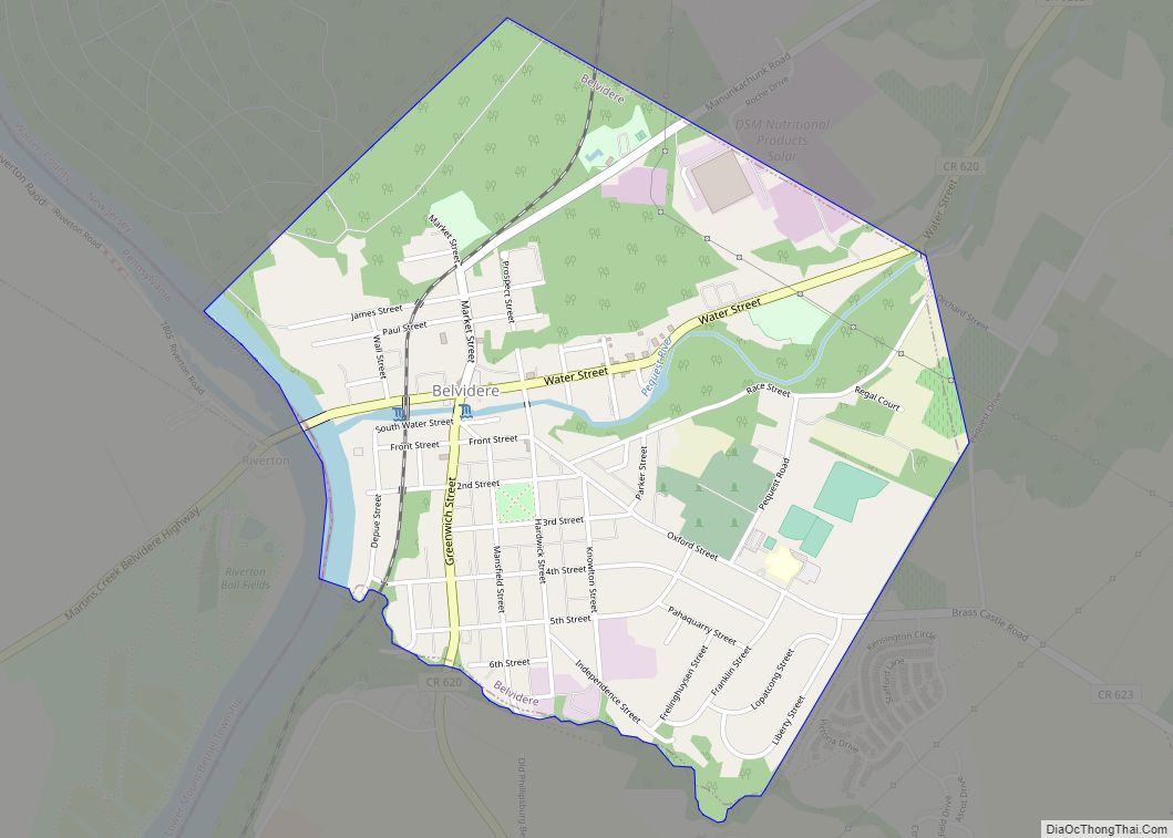
Belvidere is a town and the county seat of Warren County, in the U.S. state of New Jersey. As of the 2020 United States census, the town’s population was 2,520, a decrease of 161 (−6.0%) from the 2010 census count of 2,681, which in turn reflected a decline of 90 (−3.2%) from the 2,771 counted ... Read more
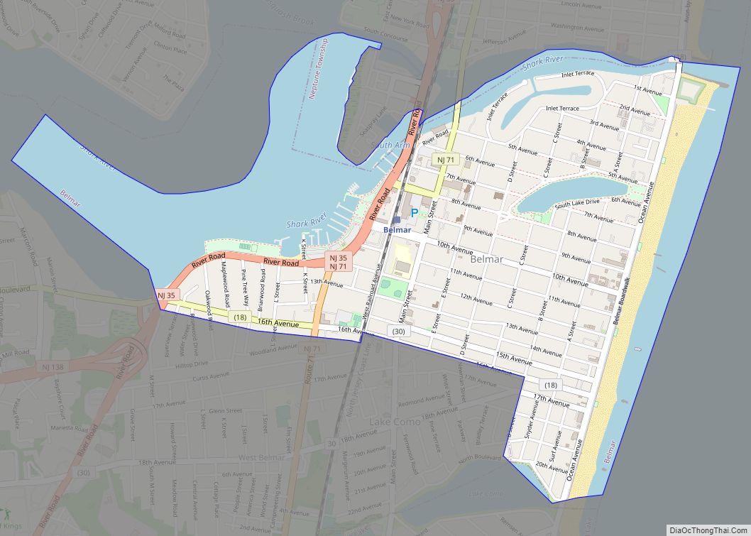
Belmar is a borough situated on the Jersey Shore, within Monmouth County, in the U.S. state of New Jersey. As of the 2020 United States census, the borough’s population was 5,907, an increase of 113 (+2.0%) from the 2010 census count of 5,794, which in turn reflected a decline of 251 (−4.2%) from the 6,045 ... Read more
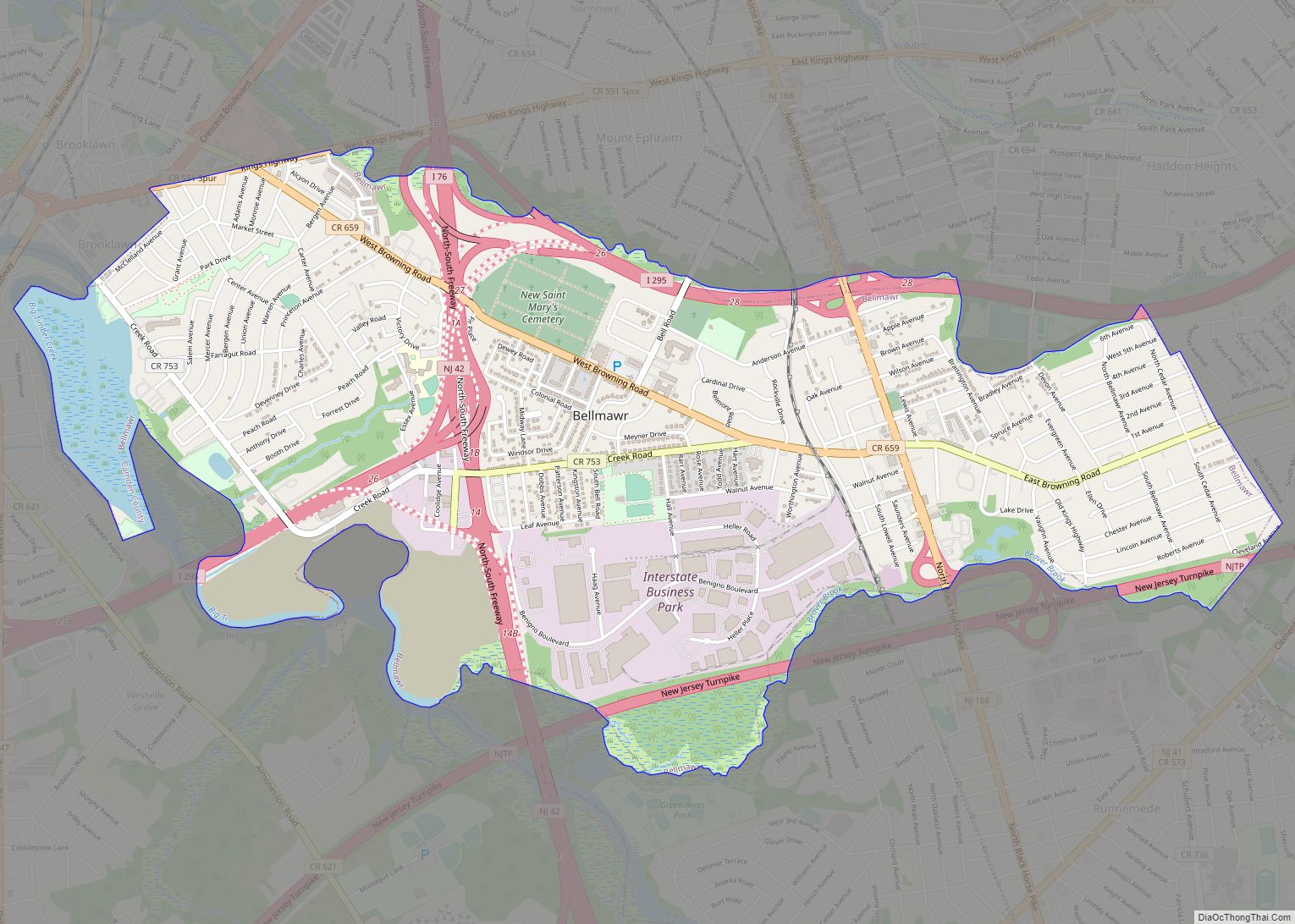
Bellmawr is a borough in Camden County, in the U.S. state of New Jersey. As of the 2020 United States census, the borough’s population was 11,707, an increase of 124 (+1.1%) from the 2010 census count of 11,583, which in turn reflected an increase of 321 (+2.9%) from the 11,262 counted in the 2000 census. ... Read more
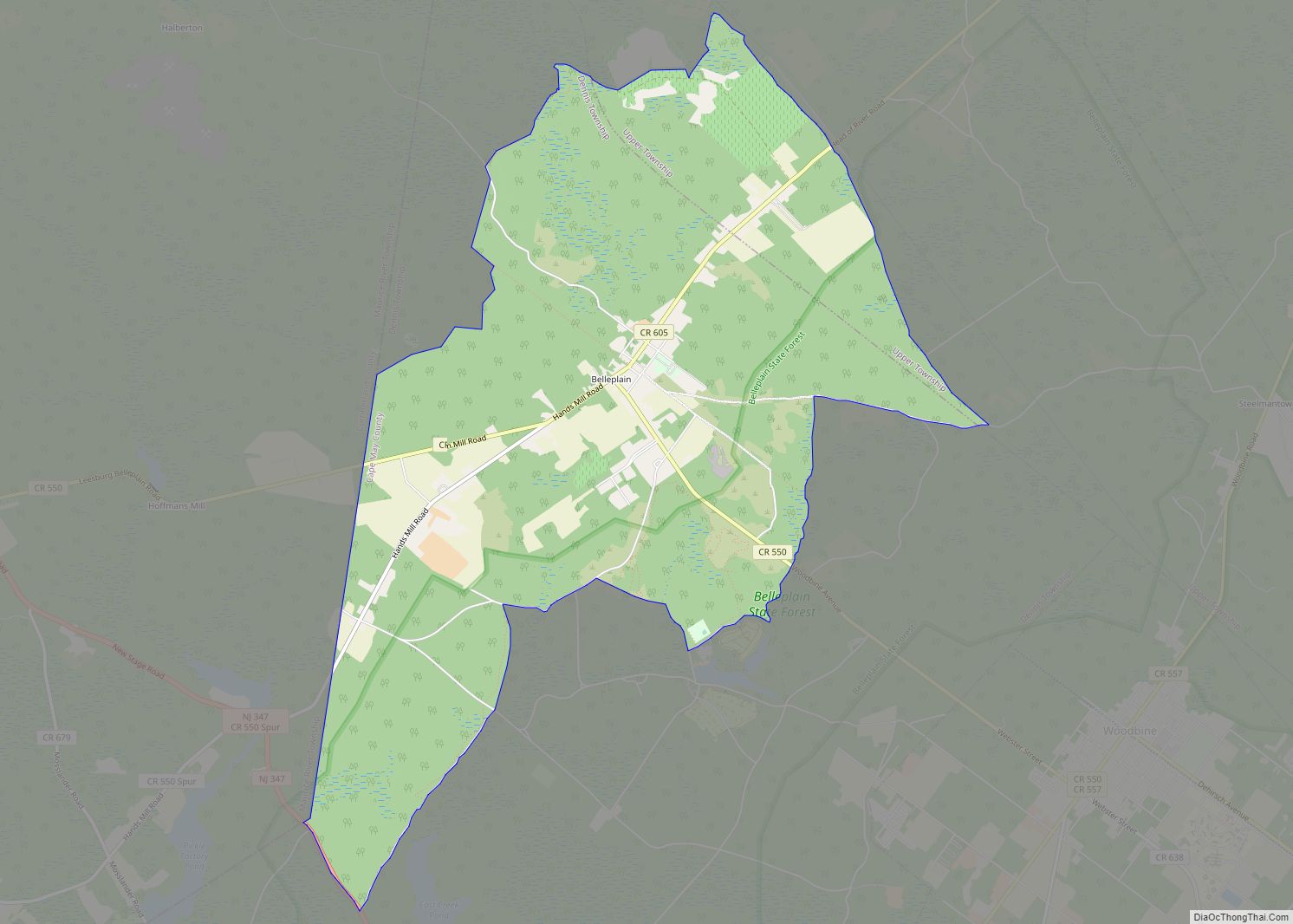
Belleplain is an unincorporated community and census-designated place (CDP) located within Dennis Township in Cape May County, in the U.S. state of New Jersey. As of the 2010 United States census, the CDP’s population was 597. Belleplain CDP overview: Name: Belleplain CDP LSAD Code: 57 LSAD Description: CDP (suffix) State: New Jersey County: Cape May ... Read more
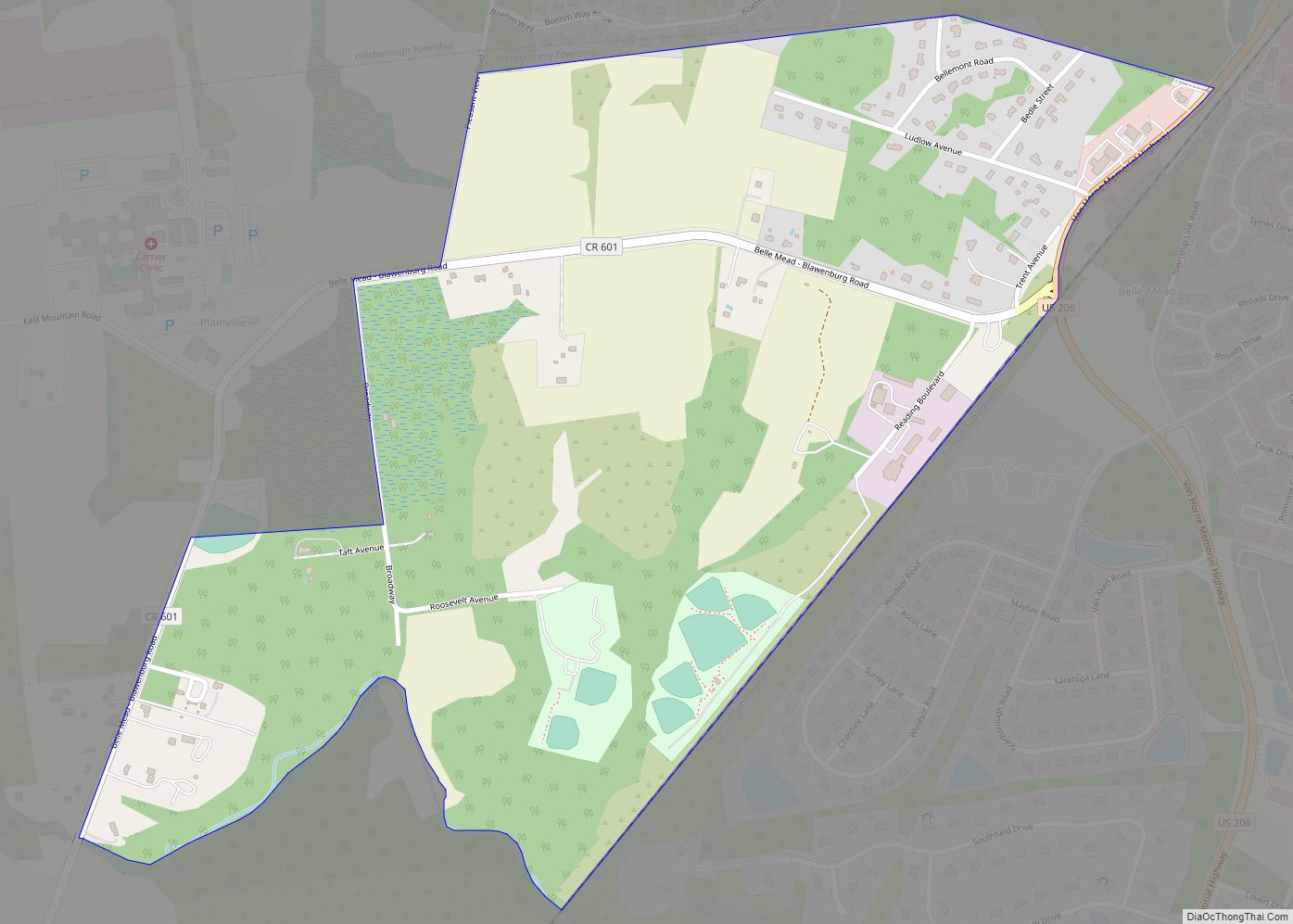
Belle Mead is an unincorporated community and census-designated place (CDP) located within Montgomery Township, in Somerset County, in the U.S. state of New Jersey. As of the 2020 United States Census, the CDP’s population was 5,569, reflecting an expansion of the CDP from 0.74 square miles (1.9 km) in 2010 to 4.03 square miles (10.4 km) in ... Read more
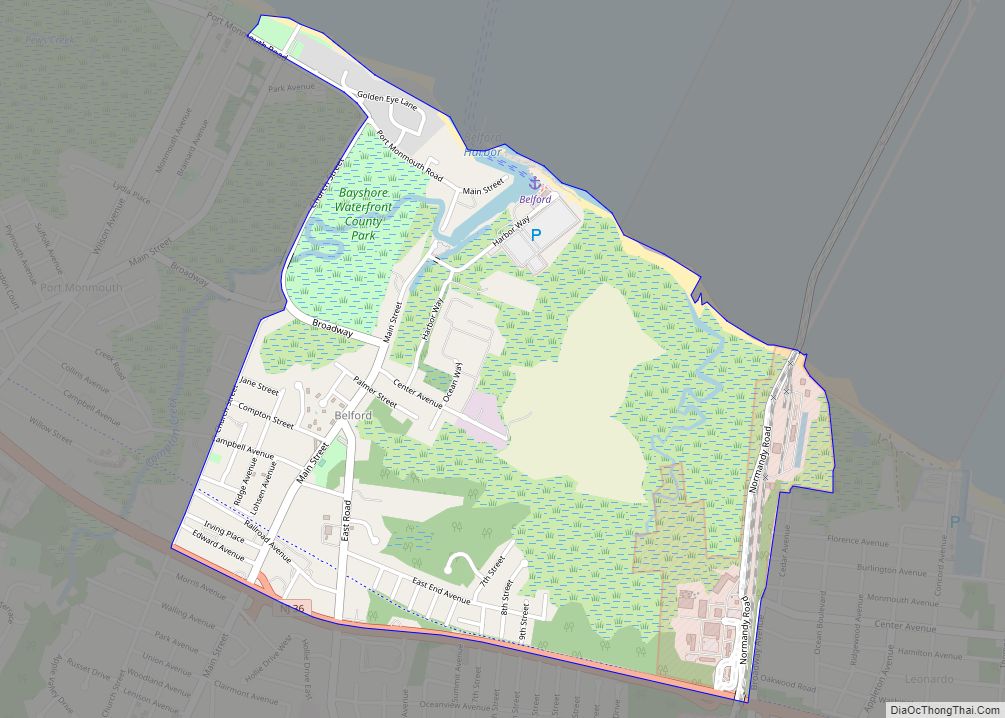
Belford is an unincorporated community and census-designated place (CDP) located within Middletown Township, in Monmouth County, in the U.S. state of New Jersey. As of the 2010 United States census, the CDP’s population was 1,768. Belford CDP overview: Name: Belford CDP LSAD Code: 57 LSAD Description: CDP (suffix) State: New Jersey County: Monmouth County Elevation: ... Read more
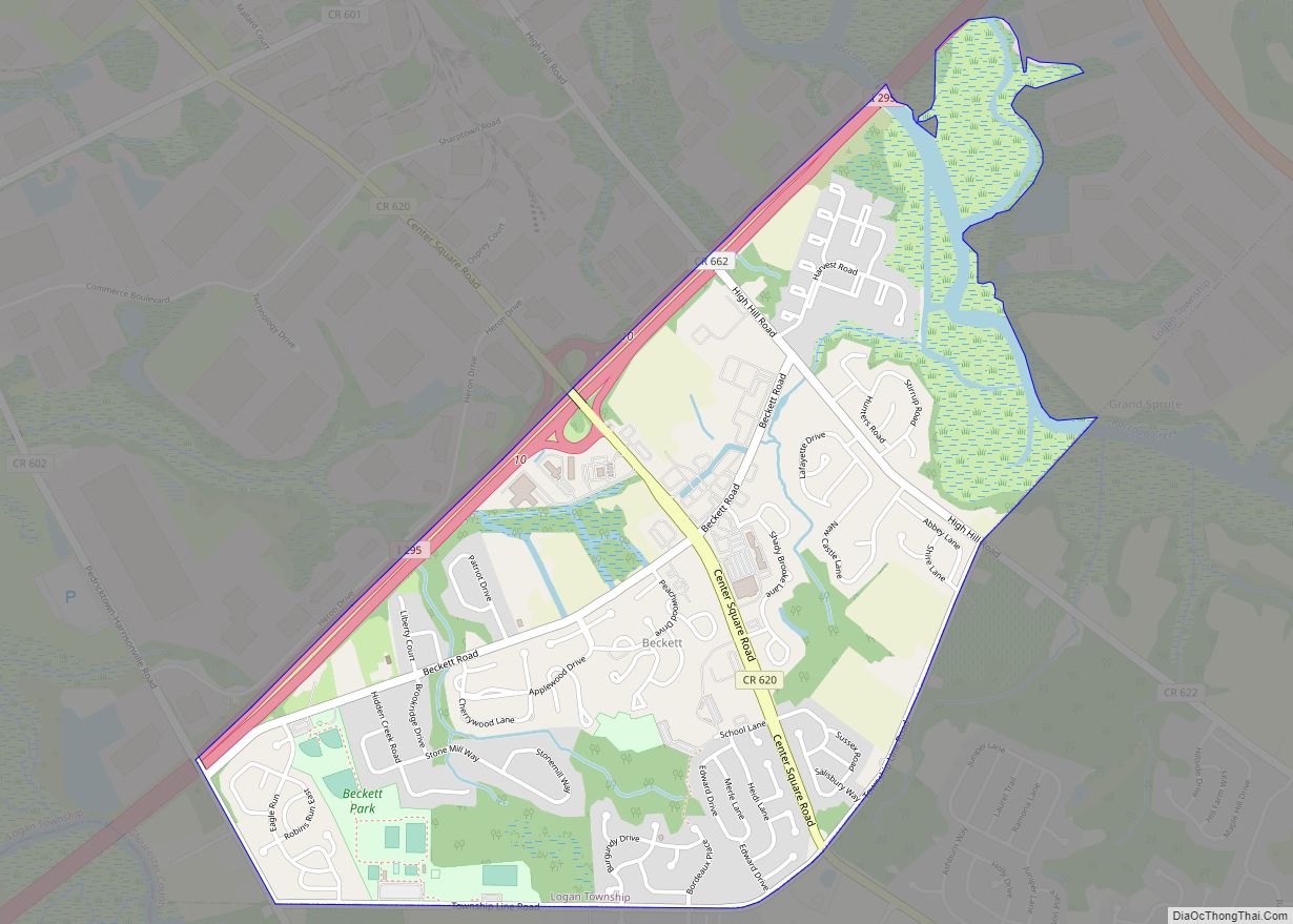
Beckett is an unincorporated community and census-designated place (CDP) within Logan Township, in Gloucester County, in the U.S. state of New Jersey. As of the 2010 United States Census, the CDP’s population was 4,847. Beckett CDP overview: Name: Beckett CDP LSAD Code: 57 LSAD Description: CDP (suffix) State: New Jersey County: Gloucester County Elevation: 30 ft ... Read more
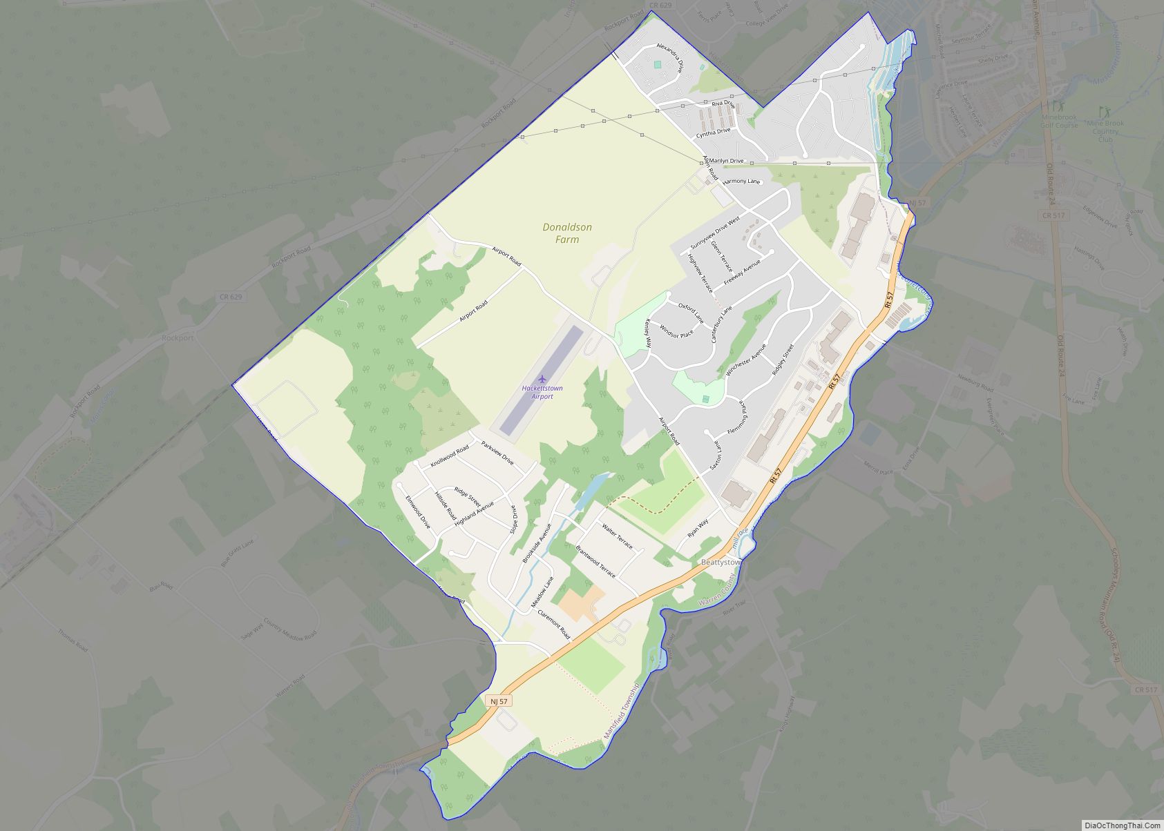
Beattystown is an unincorporated community and census-designated place (CDP) located within Mansfield Township, in Warren County, in the U.S. state of New Jersey. As of the 2010 United States Census, the CDP’s population was 4,554. Beattystown has been listed as one of the 10 most endangered historic sites in New Jersey by Preservation New Jersey. ... Read more
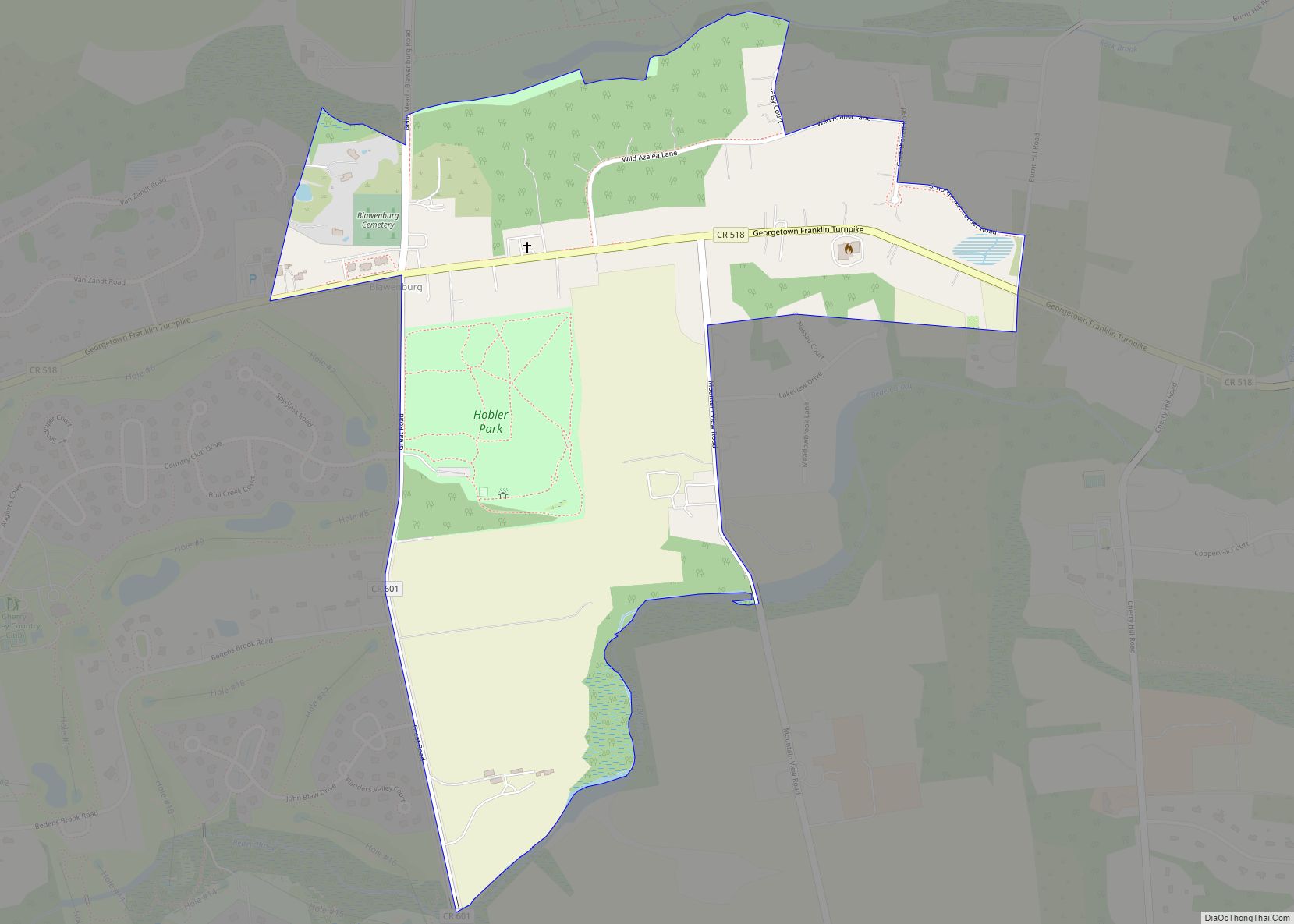
Blawenburg is an unincorporated community and census-designated place (CDP) located within Montgomery Township, in Somerset County, in the U.S. state of New Jersey. As of the 2010 United States Census, the CDP’s population was 280. It is located at the juncture of two large roads, CR 518 and CR 601. Blawenburg CDP overview: Name: Blawenburg ... Read more
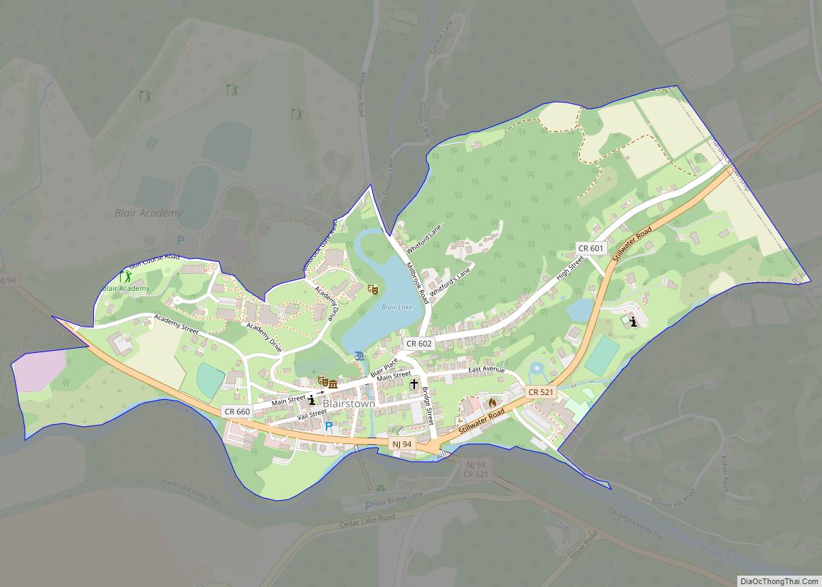
Blairstown is an unincorporated community and census-designated place (CDP) located within Blairstown Township, in Warren County, in the U.S. state of New Jersey. The CDP was created as part of the 2010 United States census. As of the 2010 United States census, the CDP’s population was 515. Blairstown CDP overview: Name: Blairstown CDP LSAD Code: ... Read more

