Bergenfield is a borough in Bergen County, in the U.S. state of New Jersey. As of the 2020 United States census, the borough’s population was 28,321, an increase of 1,557 (+5.8%) from the 2010 census count of 26,764, which in turn reflected an increase of 517 (+2.0%) from the 26,247 counted in the 2000 census.
Bergenfield was formed on the basis of a referendum held on June 25, 1894, from portions of Englewood Township and Palisades Township. The borough was formed during the “Boroughitis” phenomenon then sweeping through Bergen County, in which 26 boroughs were formed in the county in 1894 alone. The borough was named for its location in Bergen County.
New Jersey Monthly magazine ranked Bergenfield as its 211th best place to live in its 2010 rankings of the “Best Places To Live” in New Jersey. The magazine ranked Bergenfield as its 231st best place to live in its 2008 rankings of the “Best Places To Live”.
NeighborhoodScout named Bergenfield as the safest municipality in the nation in 2012 with more than 25,000 residents and in both 2013 and 2014 they named it as the 2nd safest town in the USA only behind Franklin, Massachusetts. In 2019, Bergenfield has dropped in their ratings, falling to number 4.
| Name: | Bergenfield borough |
|---|---|
| LSAD Code: | 21 |
| LSAD Description: | borough (suffix) |
| State: | New Jersey |
| County: | Bergen County |
| Incorporated: | June 25, 1894 |
| Elevation: | 66 ft (20 m) |
| Total Area: | 2.91 sq mi (7.55 km²) |
| Land Area: | 2.90 sq mi (7.52 km²) |
| Water Area: | 0.01 sq mi (0.02 km²) 0.31% |
| Total Population: | 28,321 |
| Population Density: | 9,752.4/sq mi (3,765.4/km²) |
| ZIP code: | 07621 |
| Area code: | 201 |
| FIPS code: | 3405170 |
| GNISfeature ID: | 0885157 |
| Website: | www.bergenfield.com |
Online Interactive Map
Click on ![]() to view map in "full screen" mode.
to view map in "full screen" mode.
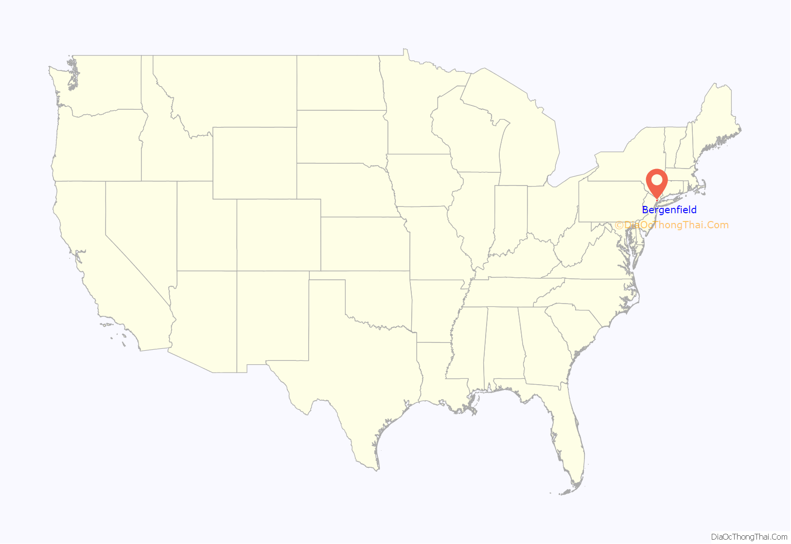
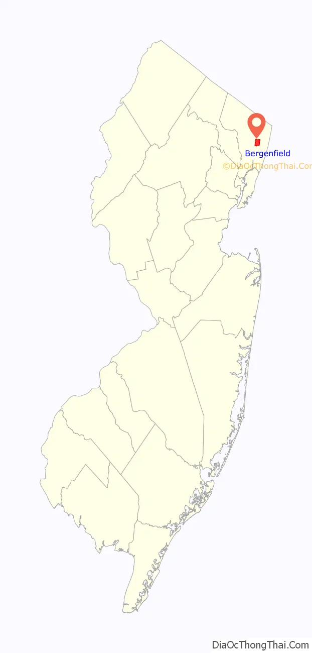
Bergenfield location map. Where is Bergenfield borough?
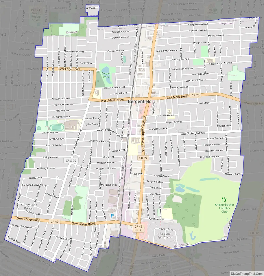
Bergenfield Road Map
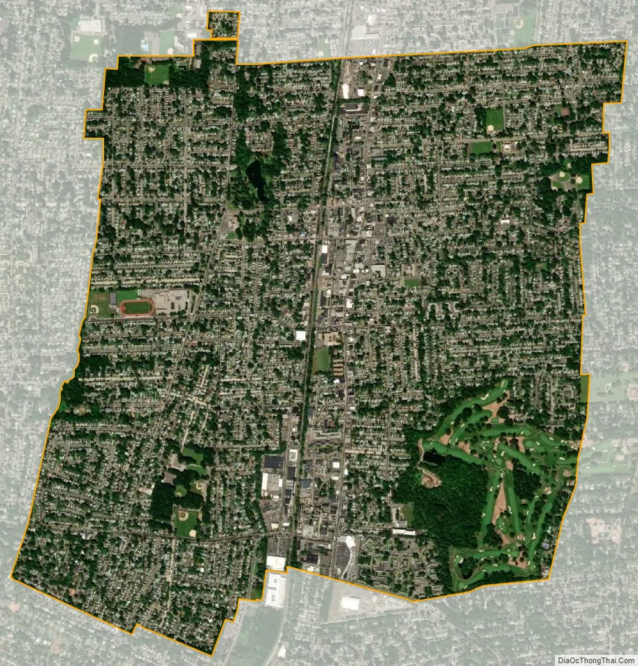
Bergenfield city Satellite Map
Geography
According to the United States Census Bureau, the borough had a total area of 2.91 square miles (7.55 km), including 2.90 square miles (7.52 km) of land and 0.01 square miles (0.02 km) of water (0.31%).
The borough borders the Bergen County municipalities of Cresskill, Dumont, Englewood, New Milford, Teaneck and Tenafly.
See also
Map of New Jersey State and its subdivision: Map of other states:- Alabama
- Alaska
- Arizona
- Arkansas
- California
- Colorado
- Connecticut
- Delaware
- District of Columbia
- Florida
- Georgia
- Hawaii
- Idaho
- Illinois
- Indiana
- Iowa
- Kansas
- Kentucky
- Louisiana
- Maine
- Maryland
- Massachusetts
- Michigan
- Minnesota
- Mississippi
- Missouri
- Montana
- Nebraska
- Nevada
- New Hampshire
- New Jersey
- New Mexico
- New York
- North Carolina
- North Dakota
- Ohio
- Oklahoma
- Oregon
- Pennsylvania
- Rhode Island
- South Carolina
- South Dakota
- Tennessee
- Texas
- Utah
- Vermont
- Virginia
- Washington
- West Virginia
- Wisconsin
- Wyoming


