Bloomingdale is a borough in Passaic County, in the U.S. state of New Jersey. As of the 2020 United States census, the borough’s population was 7,777, an increase of 121 (+1.6%) from the 2010 census count of 7,656, which in turn reflected an increase of 46 (+0.6%) from the 7,610 counted in the 2000 census. ... Read more
New Jersey Cities and Places
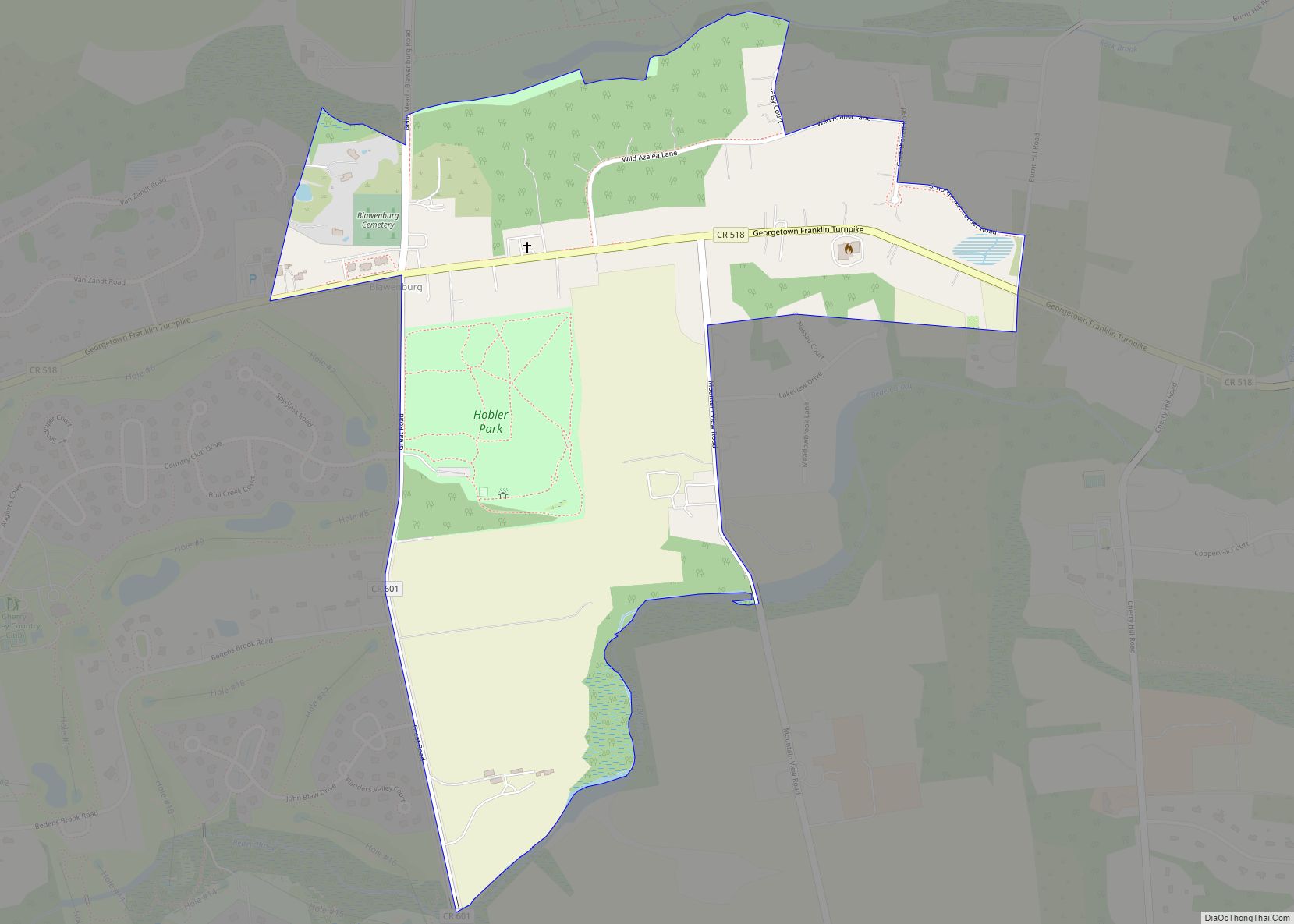
Blawenburg is an unincorporated community and census-designated place (CDP) located within Montgomery Township, in Somerset County, in the U.S. state of New Jersey. As of the 2010 United States Census, the CDP’s population was 280. It is located at the juncture of two large roads, CR 518 and CR 601. Blawenburg CDP overview: Name: Blawenburg ... Read more
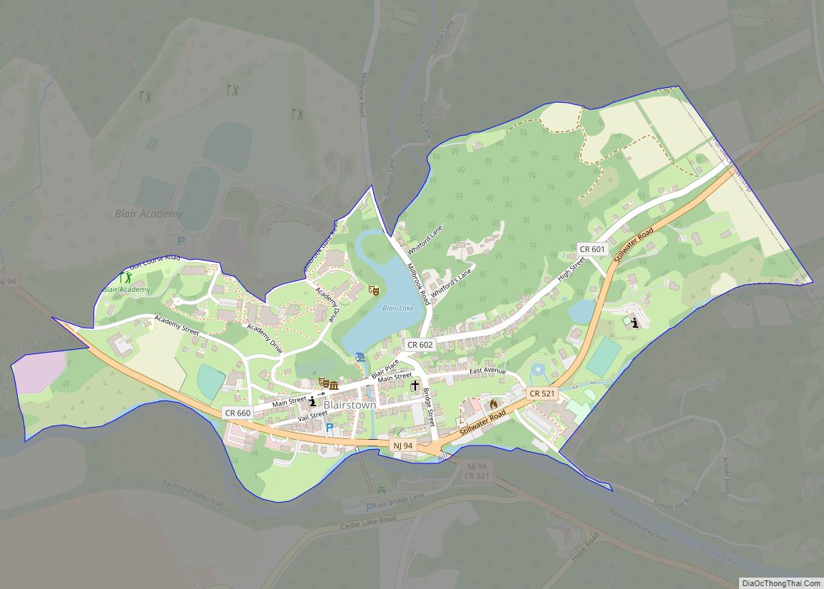
Blairstown is an unincorporated community and census-designated place (CDP) located within Blairstown Township, in Warren County, in the U.S. state of New Jersey. The CDP was created as part of the 2010 United States census. As of the 2010 United States census, the CDP’s population was 515. Blairstown CDP overview: Name: Blairstown CDP LSAD Code: ... Read more
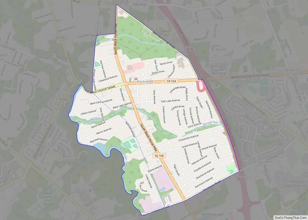
Blackwood is an unincorporated community and census-designated place (CDP) located within Gloucester Township, in Camden County, in the U.S. state of New Jersey. As of the 2010 United States census, Blackwood’s population was 4,545. It is located 10 miles (16 km) from the city of Camden and 14.6 miles (23.5 km) away from Philadelphia in the South ... Read more
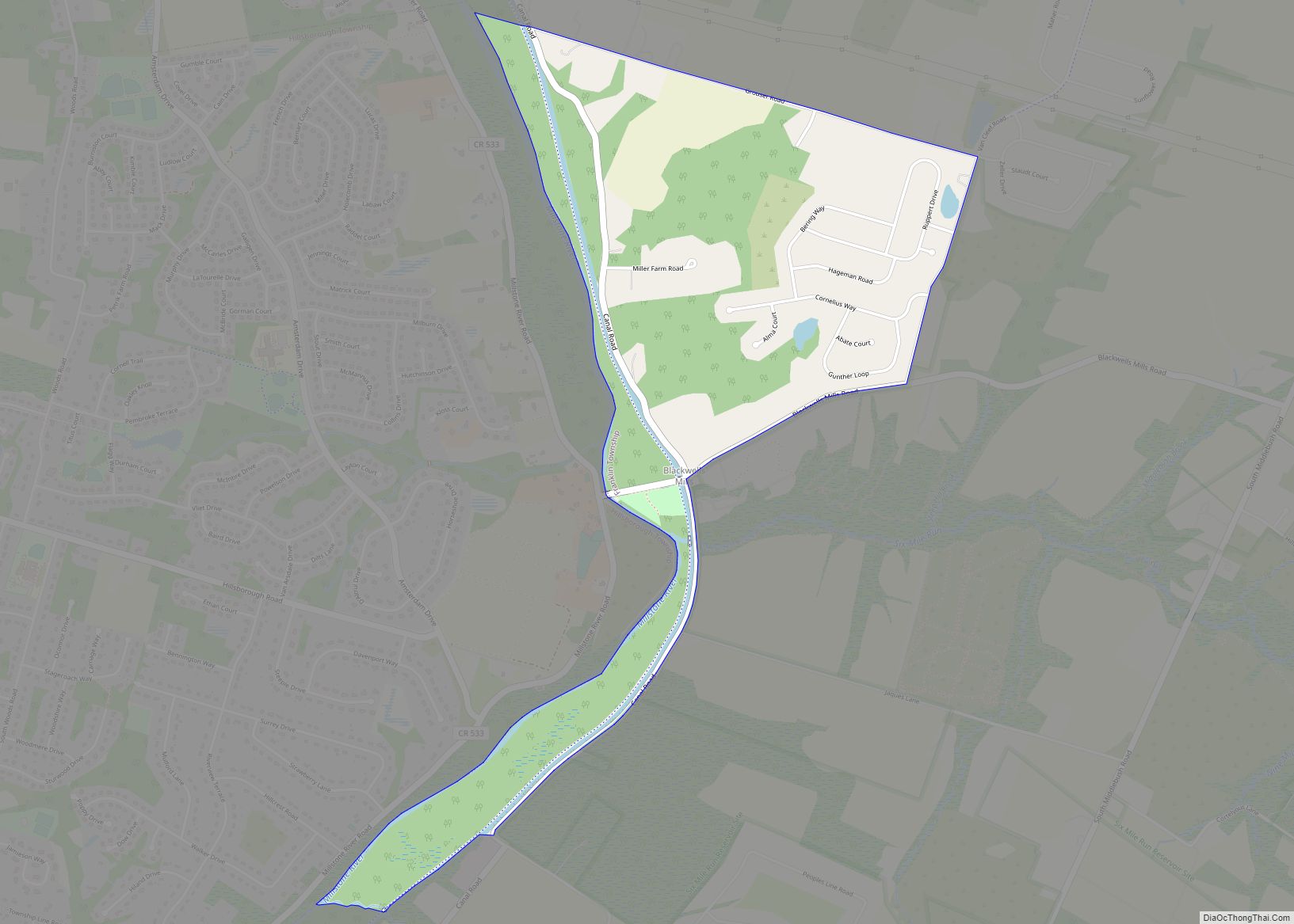
Blackwells Mills is an unincorporated community and census-designated place (CDP) located in Franklin Township in Somerset County, in the U.S. state of New Jersey. As of the 2010 U.S. census, the CDP’s population was 803. Blackwells Mills CDP overview: Name: Blackwells Mills CDP LSAD Code: 57 LSAD Description: CDP (suffix) State: New Jersey County: Somerset ... Read more
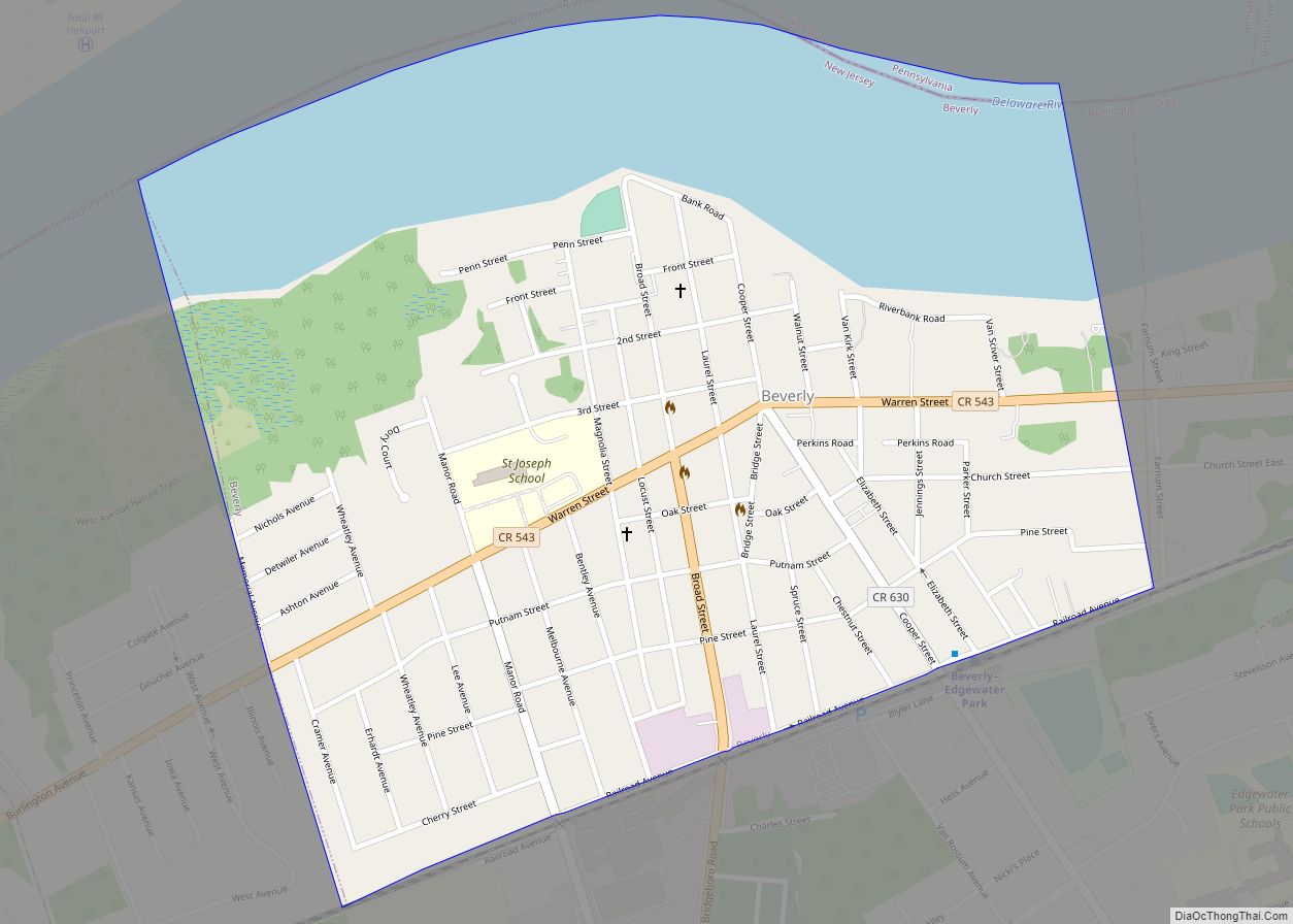
Beverly is a city in Burlington County in the U.S. state of New Jersey. As of the 2020 United States census, the city’s population was 2,499, a decrease of 78 (−3.0%) from the 2010 census count of 2,577, which in turn reflected a decline of 84 (−3.2%) from the 2,661 counted in the 2000 census. ... Read more
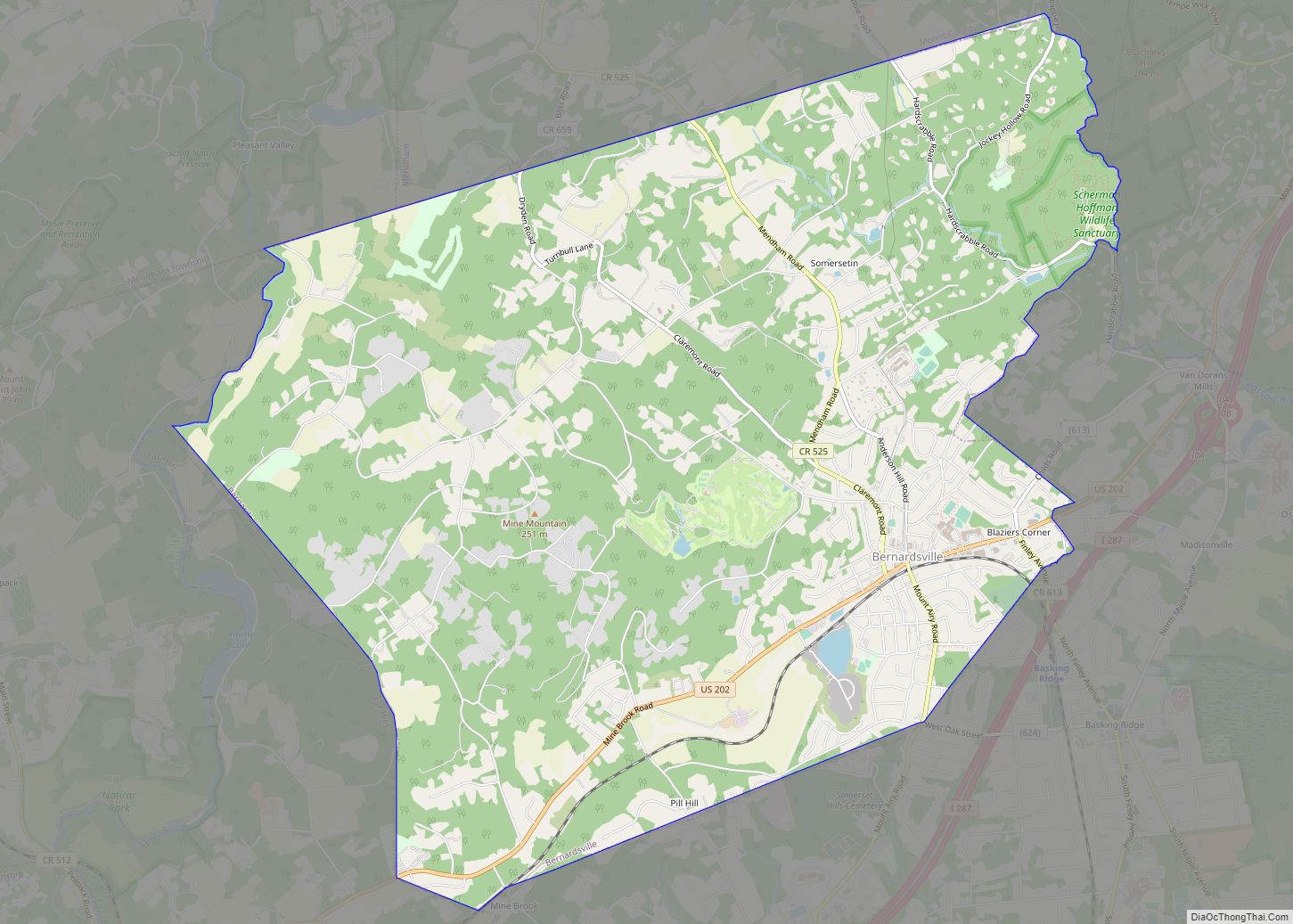
Bernardsville (/ˈbɜːrnərdzvɪl/) is the northernmost borough in Somerset County, in the U.S. state of New Jersey. The borough is nestled in the heart of the Raritan Valley region. As of the 2020 United States census, the borough’s population was 7,893, an increase of 186 (+2.4%) from the 2010 census count of 7,707, which in turn ... Read more
Berlin borough overview: Name: Berlin borough LSAD Code: 21 LSAD Description: borough (suffix) State: New Jersey County: Camden County FIPS code: 3405440 Online Interactive Map Berlin online map. Source: Basemap layers from Google Map, Open Street Map (OSM), Arcgisonline, Wmflabs. Boundary Data from Database of Global Administrative Areas. Berlin location map. Where is Berlin borough? ... Read more
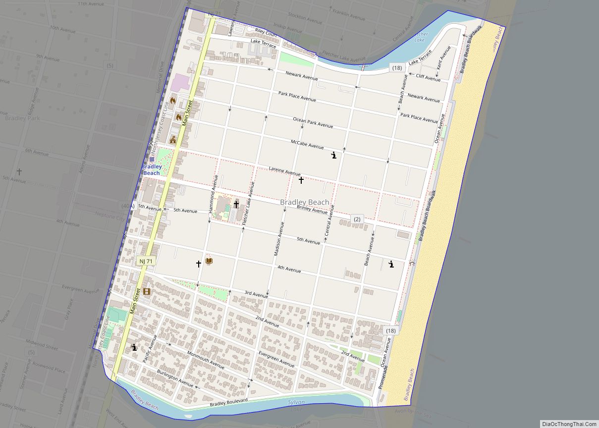
Bradley Beach is a borough in Monmouth County, in the U.S. state of New Jersey. As of the 2020 United States census, the borough’s population was 4,282, a decrease of 16 (−0.4%) from the 2010 census count of 4,298, which in turn reflected a decrease of 495 (−10.3%) from the 4,793 counted at the 2000 ... Read more
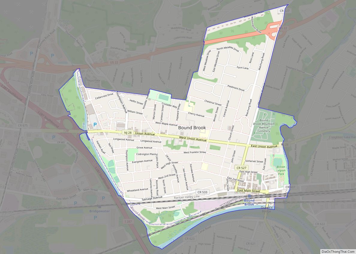
Bound Brook is a borough in Somerset County, in the U.S. state of New Jersey, located along the Raritan River. As of the 2020 United States census, the borough’s population was 11,988, an increase of 1,586 (+15.2%) from the 2010 census count of 10,402, which in turn reflected an increase of 247 (+2.4%) from the ... Read more
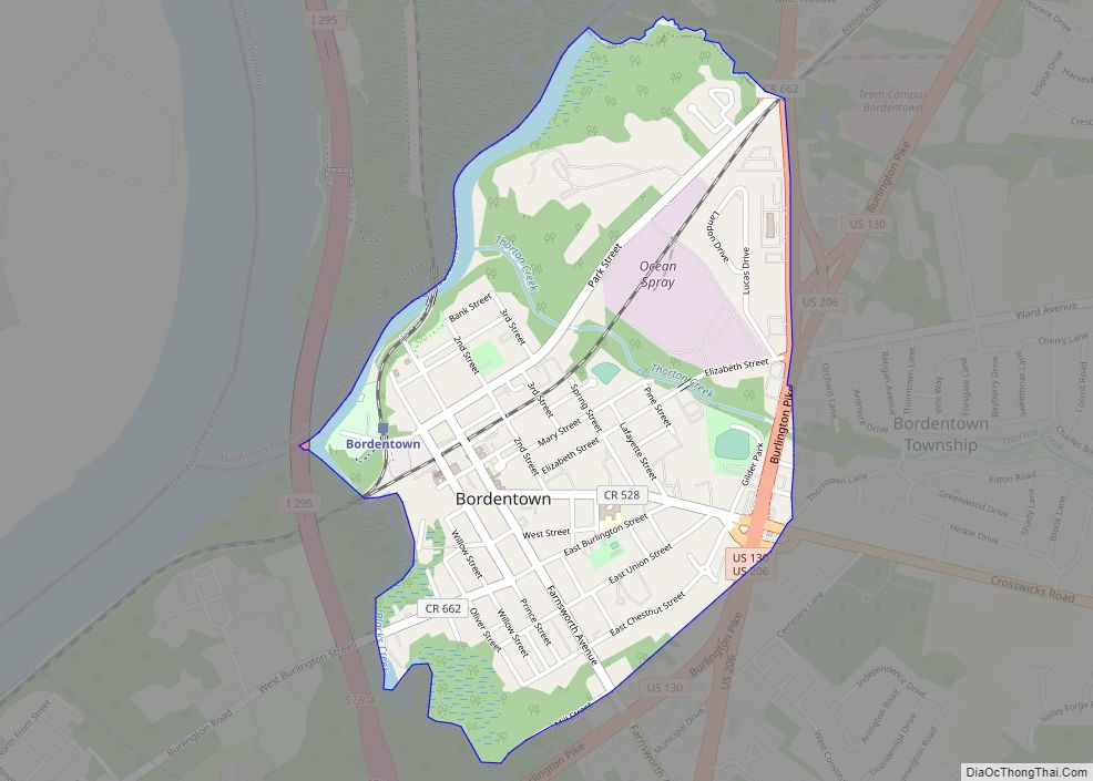
Bordentown city overview: Name: Bordentown city LSAD Code: 25 LSAD Description: city (suffix) State: New Jersey County: Burlington County FIPS code: 3406670 Online Interactive Map Bordentown online map. Source: Basemap layers from Google Map, Open Street Map (OSM), Arcgisonline, Wmflabs. Boundary Data from Database of Global Administrative Areas. Bordentown location map. Where is Bordentown city? ... Read more
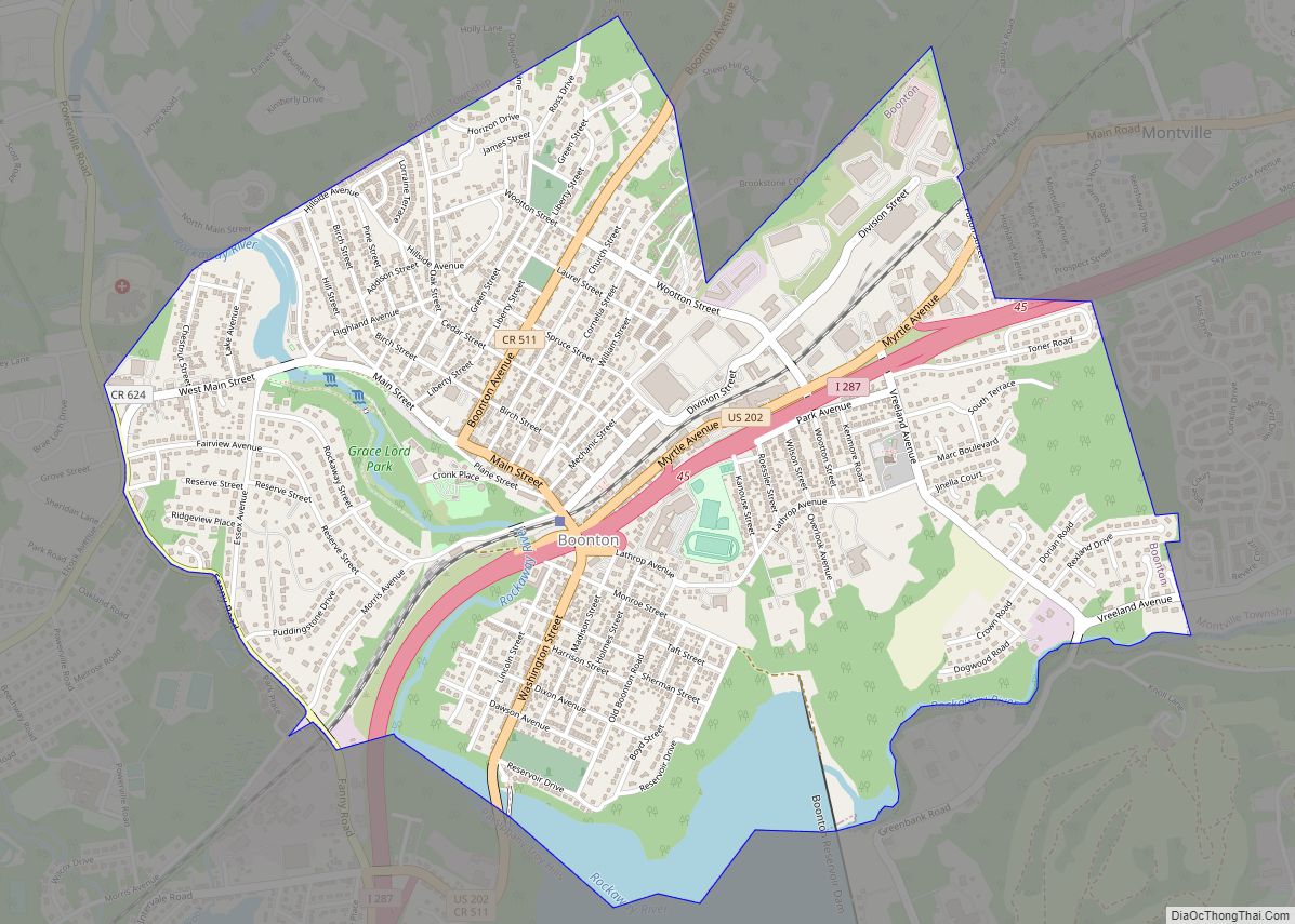
Boonton town overview: Name: Boonton town LSAD Code: 43 LSAD Description: town (suffix) State: New Jersey County: Morris County FIPS code: 3406610 Online Interactive Map Boonton online map. Source: Basemap layers from Google Map, Open Street Map (OSM), Arcgisonline, Wmflabs. Boundary Data from Database of Global Administrative Areas. Boonton location map. Where is Boonton town? ... Read more

