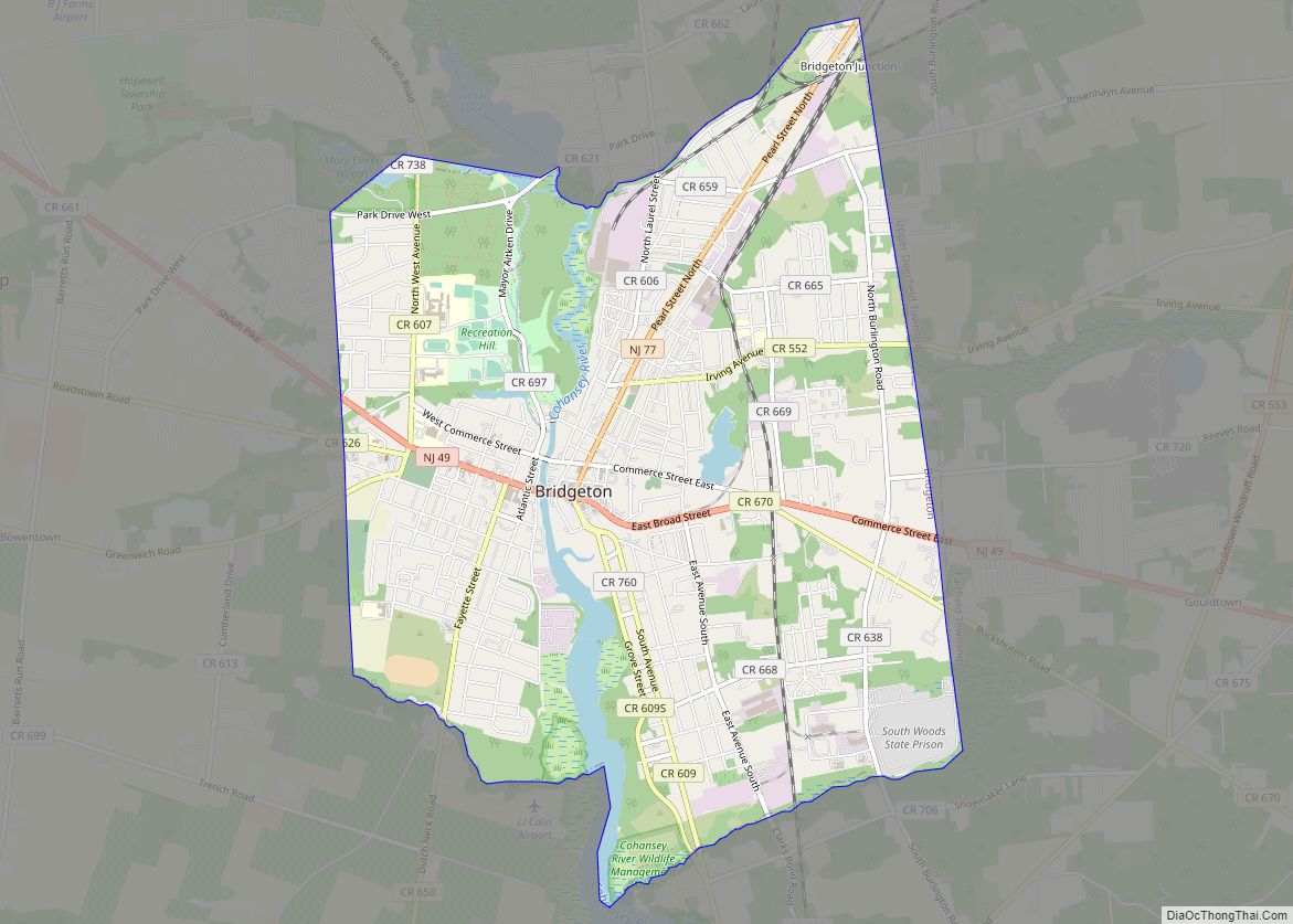
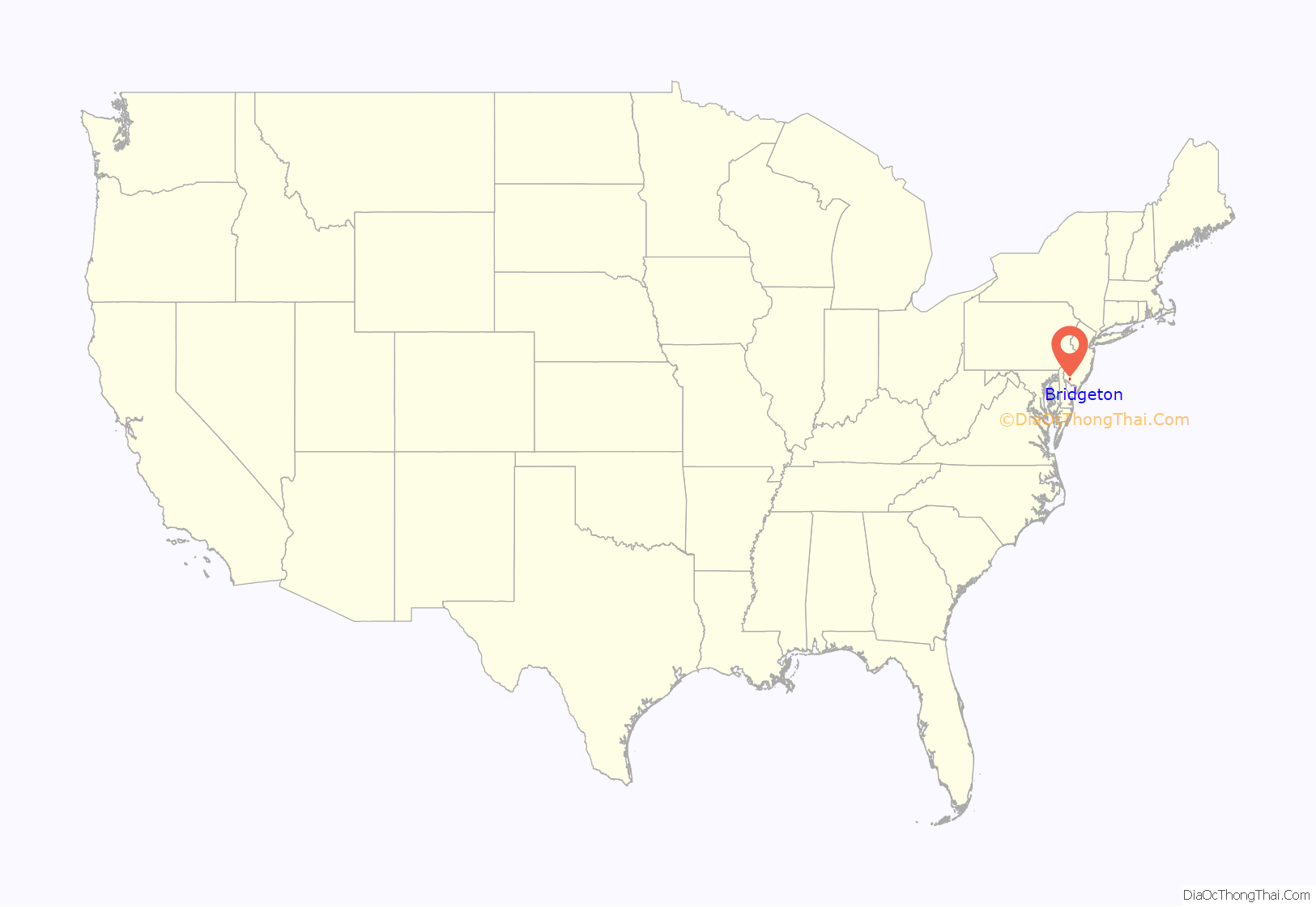
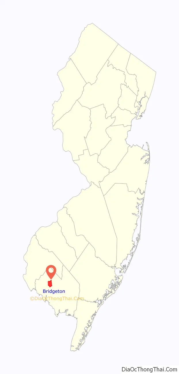
Bridgeton is a city in Cumberland County, in the U.S. state of New Jersey. It is the county seat of Cumberland County and is located on the Cohansey River near Delaware Bay in the South Jersey region of the state.
As of the 2020 United States census, the city’s population was 27,263, an increase of 1,914 (+7.6%) from the 2010 census count of 25,349, which in turn reflected an increase of 2,578 (+11.3%) from the 22,771 counted in the 2000 census. Bridgeton and Vineland are the two principal cities of the Vineland-Bridgeton metropolitan statistical area, which encompasses those cities and all of Cumberland County for statistical purposes and which constitutes a part of the Delaware Valley (i.e. the Philadelphia metro area).
As of 2020, Bridgeton had the 13th-highest property tax rate in New Jersey with an equalized rate of 4.598% compared to 3.089% in the county as a whole and a statewide average of 2.279%.
| Name: | Bridgeton city |
|---|---|
| LSAD Code: | 25 |
| LSAD Description: | city (suffix) |
| State: | New Jersey |
| County: | Cumberland County |
| Incorporated: | March 1, 1865 |
| Elevation: | 39 ft (12 m) |
| Total Area: | 6.49 sq mi (16.82 km²) |
| Land Area: | 6.23 sq mi (16.13 km²) |
| Water Area: | 0.27 sq mi (0.69 km²) 4.10% |
| Total Population: | 27,263 |
| Population Density: | 4,377.5/sq mi (1,690.2/km²) |
| ZIP code: | 08302 |
| Area code: | 856 |
| FIPS code: | 3407600 |
| GNISfeature ID: | 0885169 |
| Website: | www.cityofbridgeton.com |
Online Interactive Map
Click on ![]() to view map in "full screen" mode.
to view map in "full screen" mode.
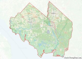
Bridgeton location map. Where is Bridgeton city?
History
Similar to other areas near rivers and the bay, this area was inhabited for thousands of years by indigenous peoples. At the time of European contact, Lenape Native Americans lived in the area. The tribe followed a seasonal pattern of cultivation and hunting and fishing. The state-recognized Nanticoke Lenni-Lenape Indians of New Jersey maintain a cultural center here, serving a community of 12,000 in Cumberland, Gloucester and Salem counties.
The first recorded European settlement in what is now Bridgeton was made by 1686 when Richard Hancock established a sawmill here. Settlers established a pioneer iron-works in 1814. Bridgeton was incorporated as a township by an act of the New Jersey Legislature on March 3, 1845, from portions of Deerfield Township. Bridgeton city was incorporated on March 1, 1865, replacing both Bridgeton Township and Cohansey Township. The city was named for its location at a bridge on the Cohansey River and is said to be a corruption of “bridge town”.
After the American Civil War, Bridgeton’s industrial base and commercial centrality in this area of high agricultural production, along with its high profile as an educational center (it was home to the South Jersey Institute, the West Jersey Academy, and two notable academies for women), made it the most prosperous town in the state. Bridgeton was home to glass factories, sewing factories, metal and machine works and other manufacturers, most notably, the Ferracute Machine Works, which was founded and operated by Oberlin Smith, an inventor and philanthropist credited with inventing the first device for magnetic recording, and now in the New Jersey Inventors Hall of Fame.
Bridgeton Historic District covers a quarter of the city and includes more than 2,000 properties. These range from the early Federal architecture to the 1920s, including many structures eligible for individual listing and some documented by the Historic American Buildings Survey (HABS) during the 1930s. The district was added to the National Register of Historic Places in 1982 and is the largest such district of any municipality in New Jersey.
Although it is visually dominated by large Victorian homes and a downtown area constructed from the 1880s to the 1920s, the district, besides many neighborhoods of gingerbreaded “doubles” that were essentially working-class housing, includes several notable structures dating from the 18th century and early Federal period. One of these is Potter’s Tavern, said to have been built in the 1750s, but restored to its appearance in 1776 when it was home to The Plain Dealer, considered New Jersey’s first newspaper.
A second is Brearley (Masonic) Lodge, founded by General James Giles in 1795, and still active. A third is the so-called “Nail House” (c. 1815; second build c. 1855), administrative home of the Cumberland Nail & Iron Works that established Bridgeton’s industrial prowess in the early nineteenth century. The first Cumberland National Bank building (1816), which was only the second bank chartered in New Jersey, is now part of the Bridgeton Library. There is also the David Sheppard House (1791), recently restored with assistance from the Garden State Historic Trust and home to the Cousteau Coastal Center of Rutgers University since 2008.
Bridgeton straddles the tidal Cohansey River and is located near the center of the Delaware Bay lowlands. It derives its name from the original movable bridge that offered the option of regular overland travel on the “King’s Highway” across the Cohansey watershed region for the first time in 1716. The name is believed to have been changed from Bridge-towne to Bridgeton in 1816–1817 due to a printing error on documents published by the Cumberland Bank.
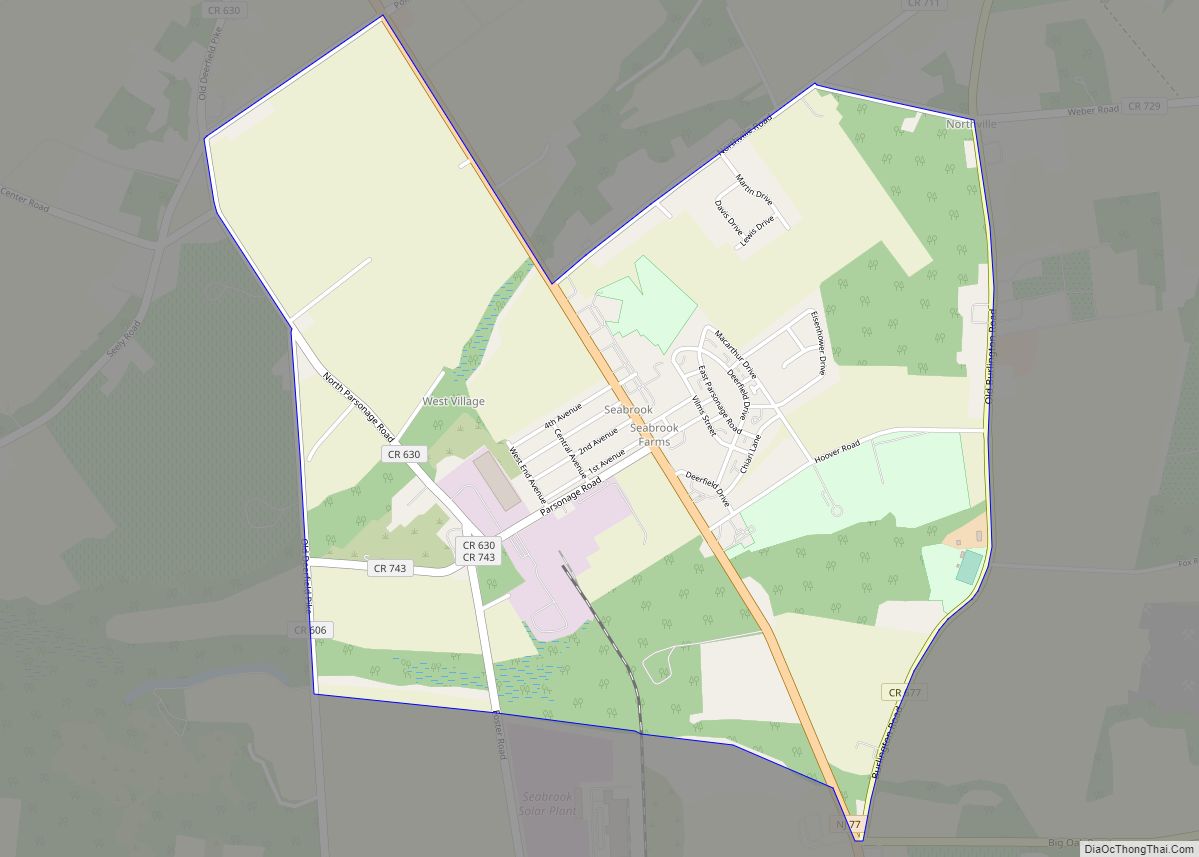
Bridgeton is home to numerous large municipal parks. The largest of these, consisting of pinelands, wetlands and lakes, as well as the original raceway system that provided waterpower to the mills, was formed out of the property owned and managed by the Cumberland Nail & Iron Works until 1899. Long considered a recreational area for the region even under ownership by the Iron Works, the property was finally purchased in 1902–1903 by the city and preserved in perpetuity as the Bridgeton City Park. It includes three major lakes: Mary Elmer Lake, Sunset Lake, and East Lake. Bridgeton Park encompasses about 1,500 acres (6.1 km). It now includes the Cohanzick Zoo, New Jersey’s oldest zoo, which is free to the public.
The city suffered an economic downturn in the 1980s with the loss of its remaining manufacturing sector jobs in glass and textiles. Agricultural employment, however, has continued to attract immigrant workers largely from Mexico but also Guatemala, creating new challenges and opportunities for revitalization. A significant minority of Bridgeton residents and their children speak Zapoteco, either as their only language or alongside Spanish.
Downtown Bridgeton includes an art gallery, second hand stores, a makerspace, and the headquarters of the Nanticoke Lenni-Lenape Tribal Nation. The makerspace, called STEAMWorks, was opened as a collaborative project between the city and the local Cumberland County College, run by the college the space offers specialized equipment and software to the public at a membership based pricing system, as well as workshops and a limited set of certification courses, no involvement with the college is required.
Bridgeton Main Street declared its downtown a Culinary Arts district and is highlighting downtown activity through the food and cooking-related retail sector. Bridgeton Main Street Association is the oldest Main Street Association in the state, founded in 1990.
In 2008, Rutgers opened the Cousteau Coastal Center of its Institute of Marine & Coastal Sciences in the former David Sheppard House, a base from which it coordinates cutting-edge ecological research and develops modules for environmental learning at all educational levels from elementary school upward.
South Woods State Prison, which opened near Bridgeton in 1997, is the largest state prison in New Jersey and provides a range of employment.
Bridgeton is home to the Rutgers Food Innovation Center, an entry point for startup food manufacturers that allows a new company or entrepreneur to work with a specialized team from Rutgers University to develop, test, brand, and package their product.
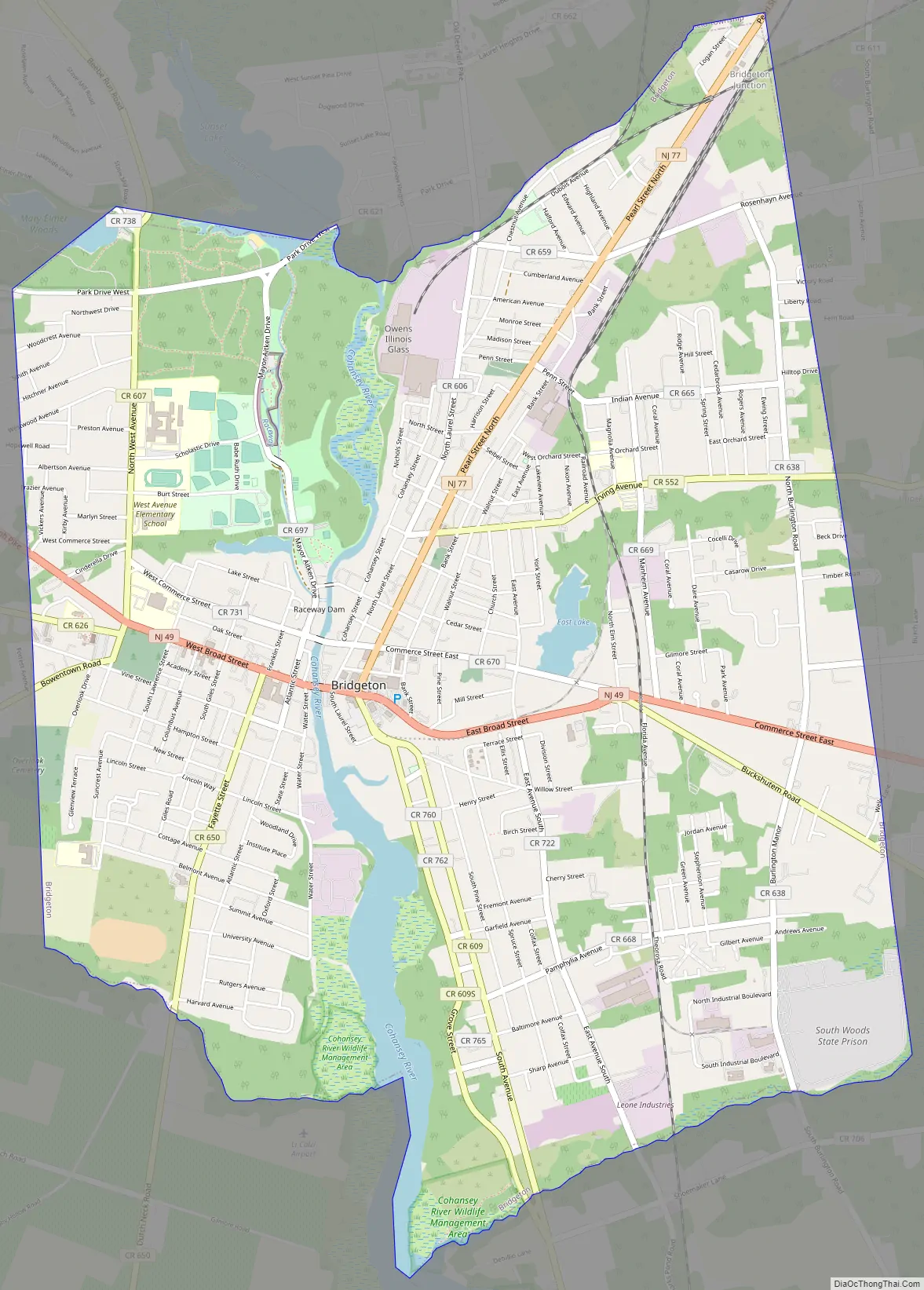
Bridgeton Road Map
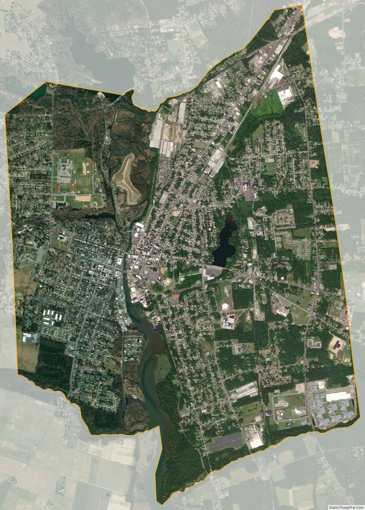
Bridgeton city Satellite Map
Geography
Bridgeton is located about one hour away from Philadelphia, and 50 minutes away from Wilmington, Delaware. It is also about one hour away from Atlantic City and Cape May. Bridgeton is divided into three sections, Northside, Southside and Hillside.
According to the U.S. Census Bureau, the city had a total area of 6.49 square miles (16.82 km), including 6.23 square miles (16.13 km) of land and 0.27 square miles (0.69 km) of water (4.10%). Unincorporated communities, localities and place names located partially or completely within the city include East Lake.
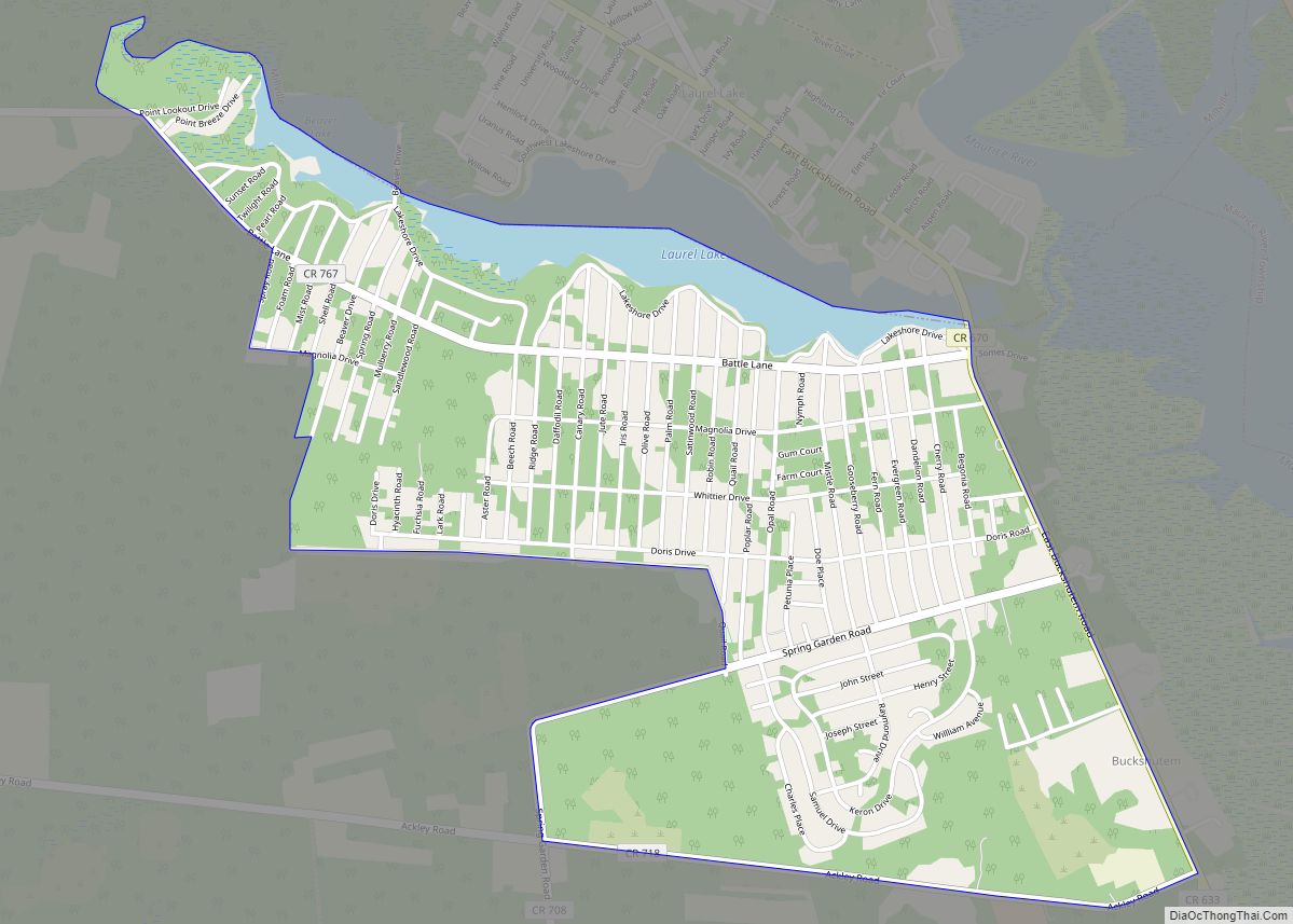
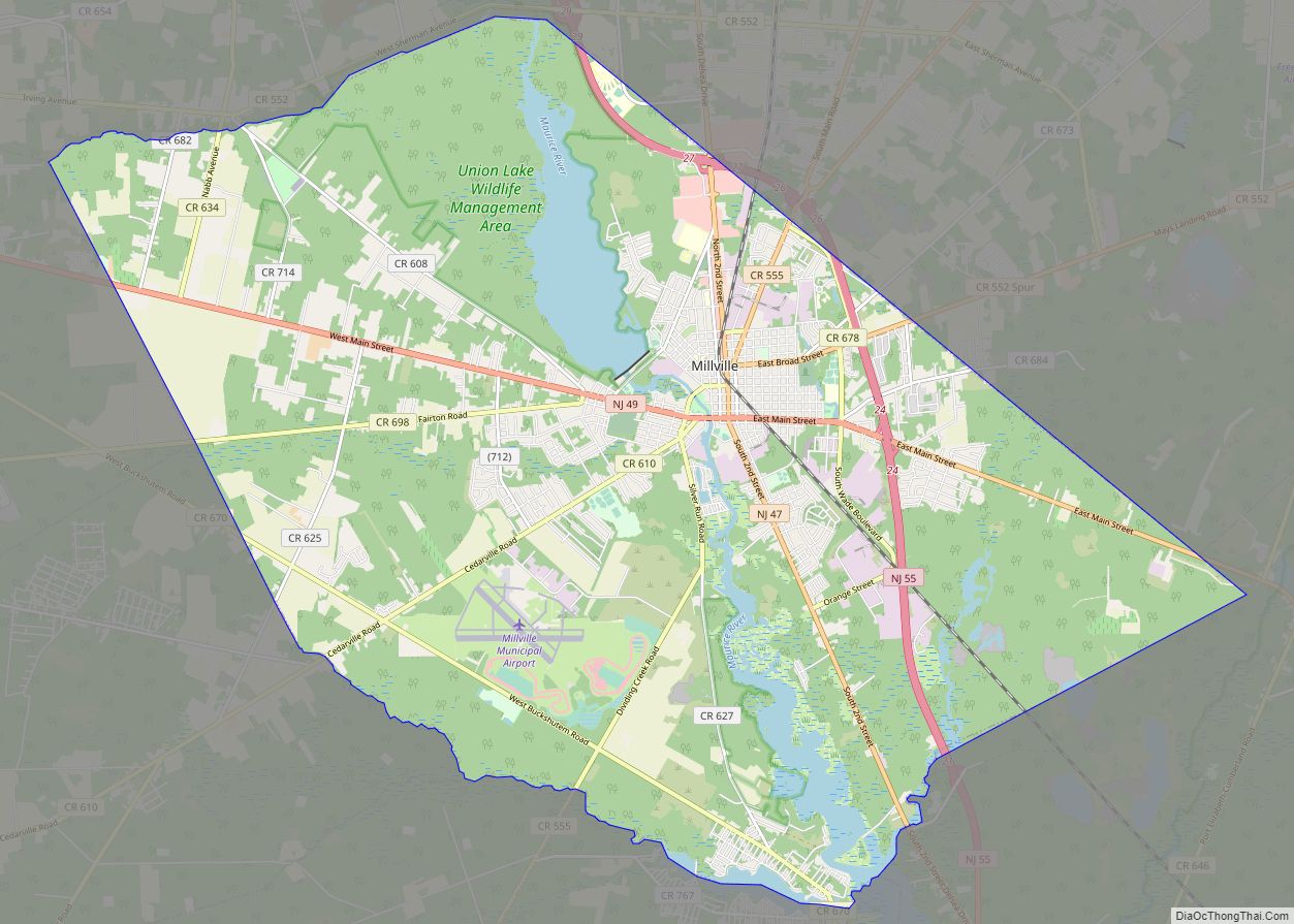
Bridgeton borders the Cumberland County municipalities of Fairfield Township, Hopewell Township and Upper Deerfield Township.
Climate
The climate in this area is characterized by hot, humid summers and generally mild to cool winters. According to the Köppen Climate Classification system, Bridgeton has a humid subtropical climate, abbreviated “Cfa” on climate maps.
See also
Map of New Jersey State and its subdivision: Map of other states:- Alabama
- Alaska
- Arizona
- Arkansas
- California
- Colorado
- Connecticut
- Delaware
- District of Columbia
- Florida
- Georgia
- Hawaii
- Idaho
- Illinois
- Indiana
- Iowa
- Kansas
- Kentucky
- Louisiana
- Maine
- Maryland
- Massachusetts
- Michigan
- Minnesota
- Mississippi
- Missouri
- Montana
- Nebraska
- Nevada
- New Hampshire
- New Jersey
- New Mexico
- New York
- North Carolina
- North Dakota
- Ohio
- Oklahoma
- Oregon
- Pennsylvania
- Rhode Island
- South Carolina
- South Dakota
- Tennessee
- Texas
- Utah
- Vermont
- Virginia
- Washington
- West Virginia
- Wisconsin
- Wyoming