Burlington city overview: Name: Burlington city LSAD Code: 25 LSAD Description: city (suffix) State: New Jersey County: Burlington County FIPS code: 3408920 Online Interactive Map Burlington online map. Source: Basemap layers from Google Map, Open Street Map (OSM), Arcgisonline, Wmflabs. Boundary Data from Database of Global Administrative Areas. Burlington location map. Where is Burlington city? ... Read more
New Jersey Cities and Places
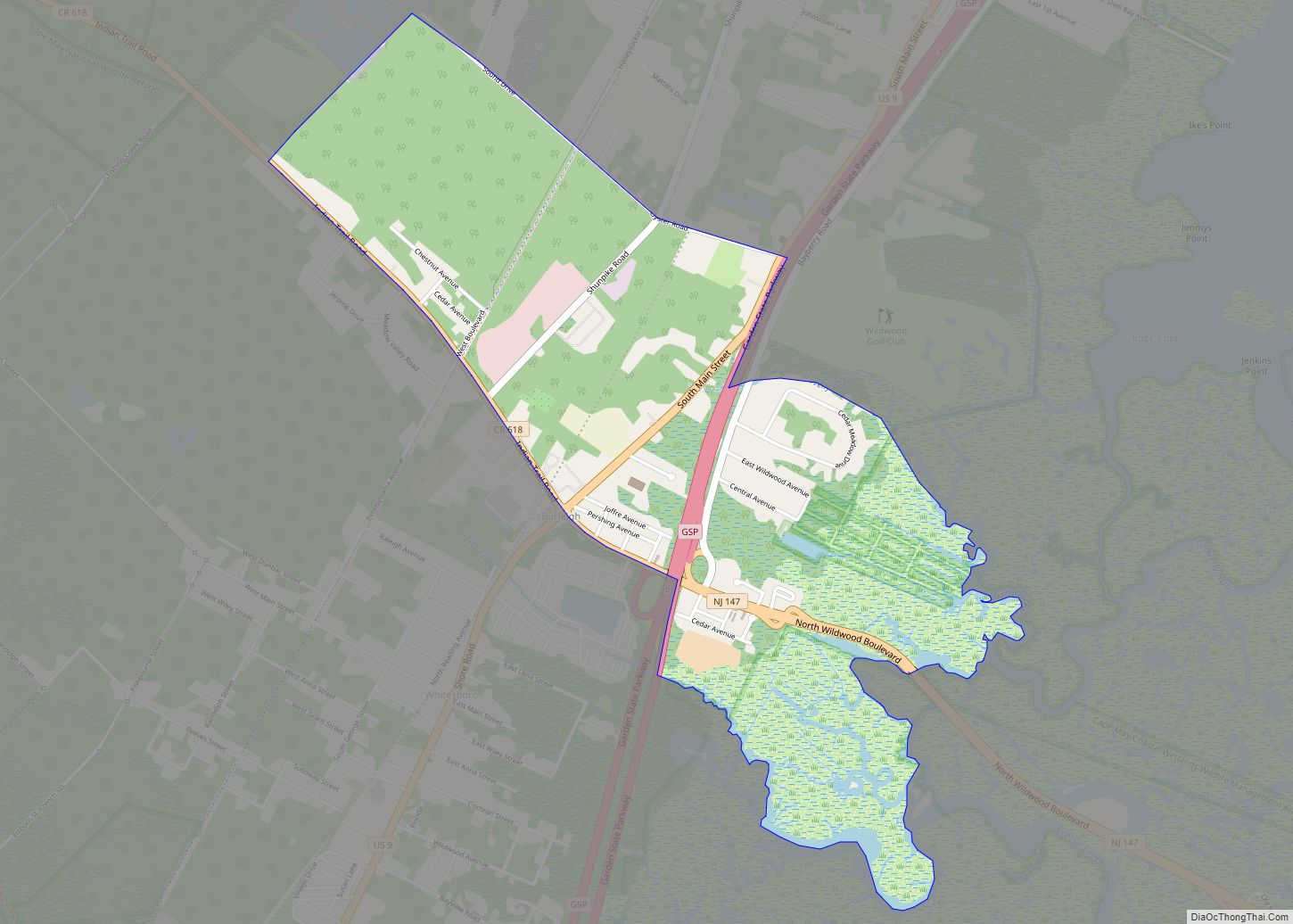
Burleigh is an unincorporated community and census-designated place (CDP) located within Middle Township in Cape May County, New Jersey, United States; Until the 2000 Census the area had been part of the Whitesboro-Burleigh CDP, which was split in 2010 into separate CDPs for Burleigh and Whitesboro. As of the 2010 United States Census, the CDP’s ... Read more
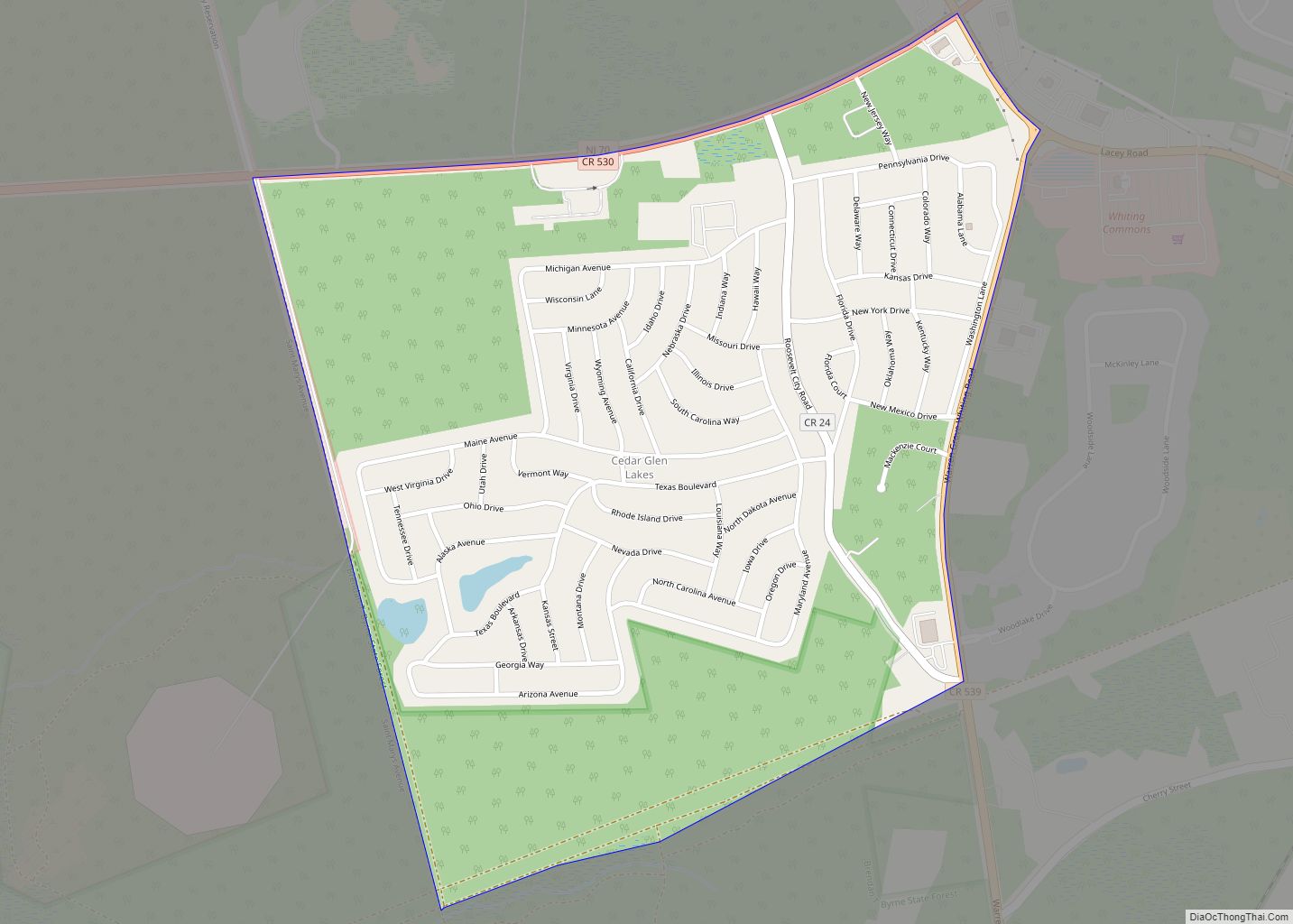
Cedar Glen Lakes is an unincorporated community and census-designated place (CDP) located within Manchester Township, in Ocean County, New Jersey, United States. As of the 2010 United States Census, the CDP’s population was 1,421. Cedar Glen Lakes CDP overview: Name: Cedar Glen Lakes CDP LSAD Code: 57 LSAD Description: CDP (suffix) State: New Jersey County: ... Read more
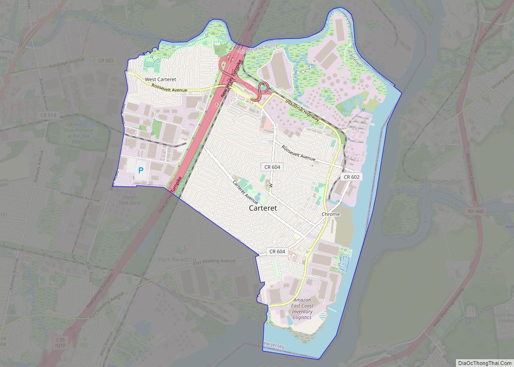
Carteret is a borough in Middlesex County, in the U.S. state of New Jersey. As of the 2020 United States census, the borough’s population was 25,326, an increase of 2,482 (+10.9%) from the 2010 census count of 22,844, which in turn reflected an increase of 2,135 (+10.3%) from the 20,709 counted in the 2000 census. ... Read more
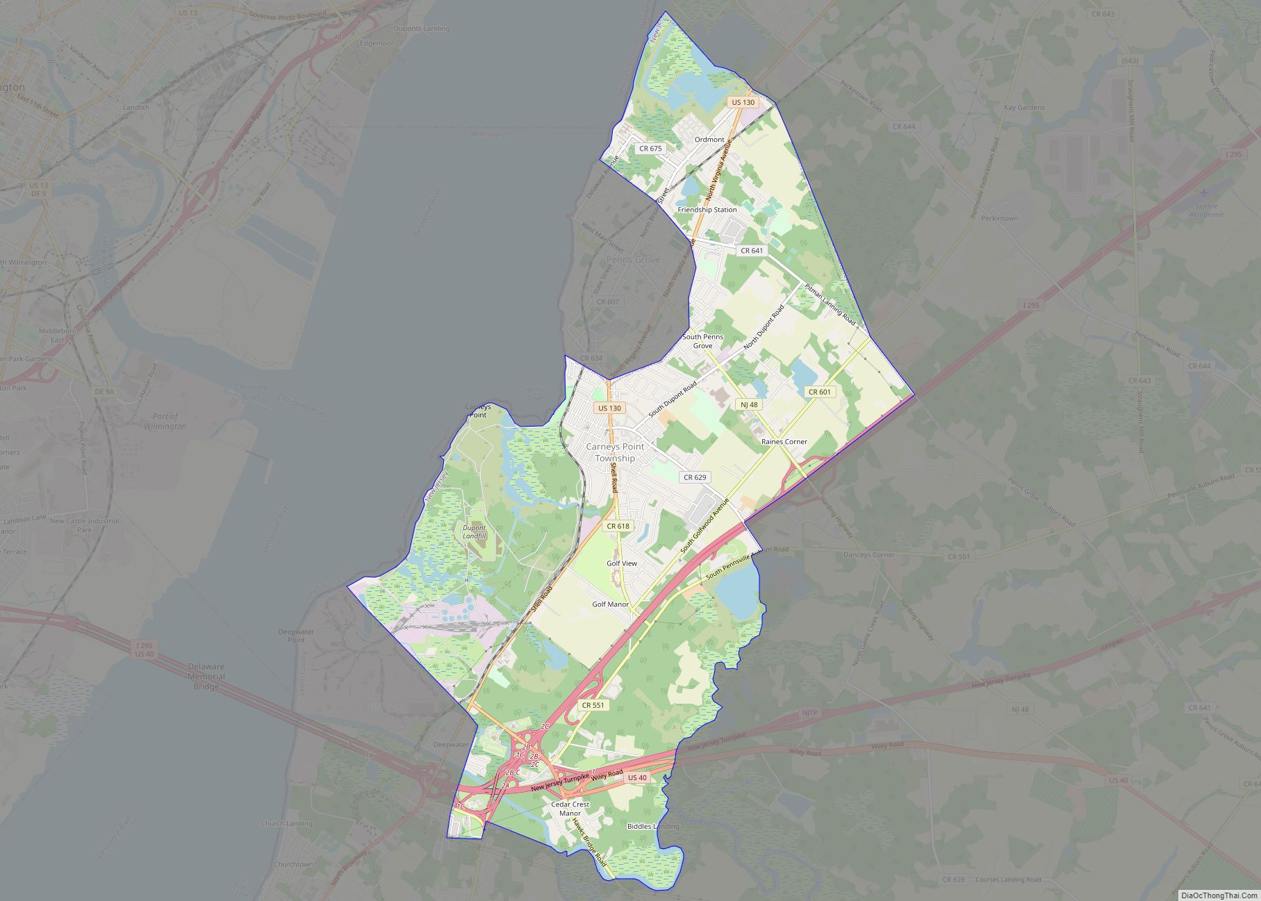
Carneys Point is an unincorporated community and census-designated place (CDP) located within Carneys Point Township, in Salem County, New Jersey, United States. As of the 2010 United States Census, the CDP’s population was 7,382. Settled in 1727 by Irish immigrants, of which included Thomas Carney. After World War I broke out and the E.I. du ... Read more
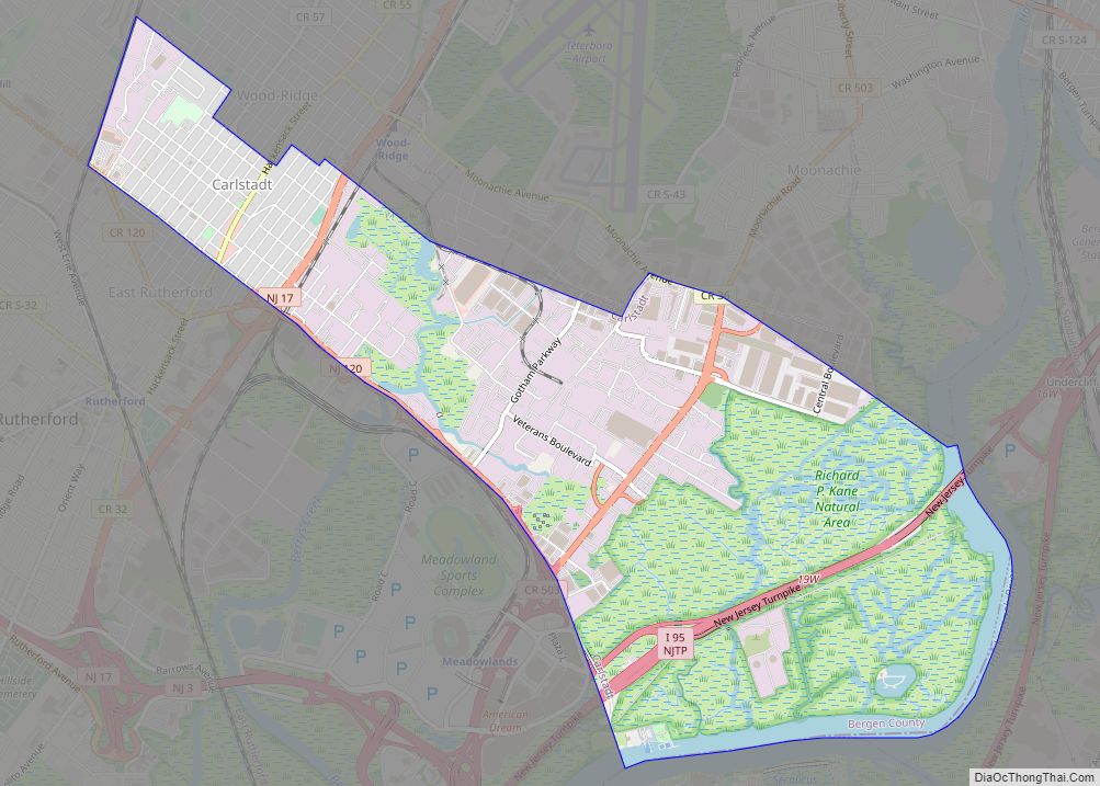
Carlstadt is a borough in Bergen County, in the U.S. state of New Jersey. As of the 2020 United States census, the borough’s population was 6,372, an increase of 245 (+4.0%) from the 2010 census count of 6,127, which in turn reflected an increase of 210 (+3.5%) from the 5,917 counted in the 2000 census. ... Read more
Chester borough overview: Name: Chester borough LSAD Code: 21 LSAD Description: borough (suffix) State: New Jersey County: Morris County FIPS code: 3412580 Online Interactive Map Chester online map. Source: Basemap layers from Google Map, Open Street Map (OSM), Arcgisonline, Wmflabs. Boundary Data from Database of Global Administrative Areas. Chester location map. Where is Chester borough? ... Read more
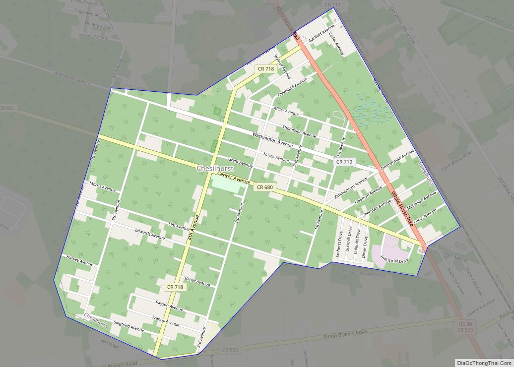
Chesilhurst is a borough in Camden County, in the U.S. state of New Jersey. As of the 2020 United States census, the borough’s population was 1,536, a decrease of 98 (−6.0%) from the 2010 census count of 1,634, which in turn reflected an increase of 114 (+7.5%) from the 1,520 counted in the 2000 census. ... Read more
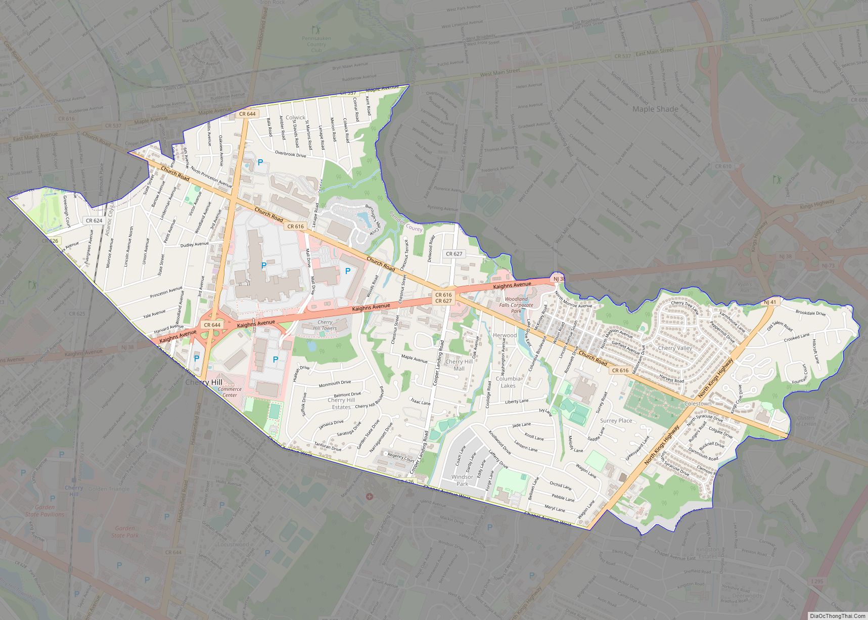
Cherry Hill Mall is a unincorporated community and growing census-designated place (CDP) located in Cherry Hill, in Camden County, New Jersey, United States. As of the 2020 United States census, the CDP’s population was 14,805, its highest decennial count ever and an increase of 634 (+4.5%) from the 14,171 residents recorded at the 2010 census ... Read more
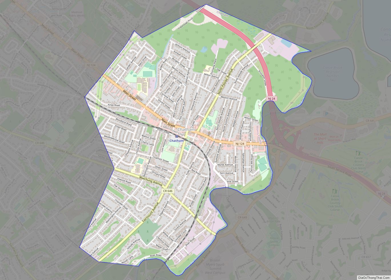
Chatham borough overview: Name: Chatham borough LSAD Code: 21 LSAD Description: borough (suffix) State: New Jersey County: Morris County FIPS code: 3412100 Online Interactive Map Chatham online map. Source: Basemap layers from Google Map, Open Street Map (OSM), Arcgisonline, Wmflabs. Boundary Data from Database of Global Administrative Areas. Chatham location map. Where is Chatham borough? ... Read more
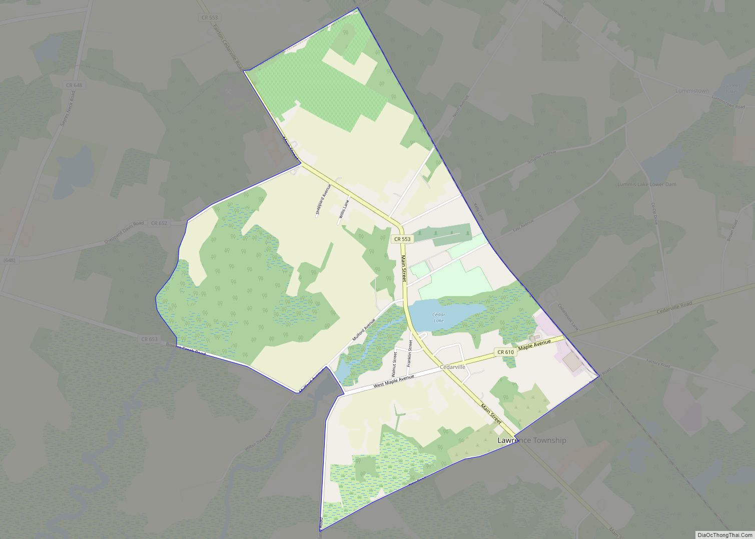
Cedarville is an unincorporated community and census-designated place (CDP) located within Lawrence Township, in Cumberland County, New Jersey, United States. It is part of the Vineland–Millville–Bridgeton Primary Metropolitan Statistical Area for statistical purposes. As of the 2020 United States Census, the CDP’s population was 702. Cedarville CDP overview: Name: Cedarville CDP LSAD Code: 57 LSAD ... Read more
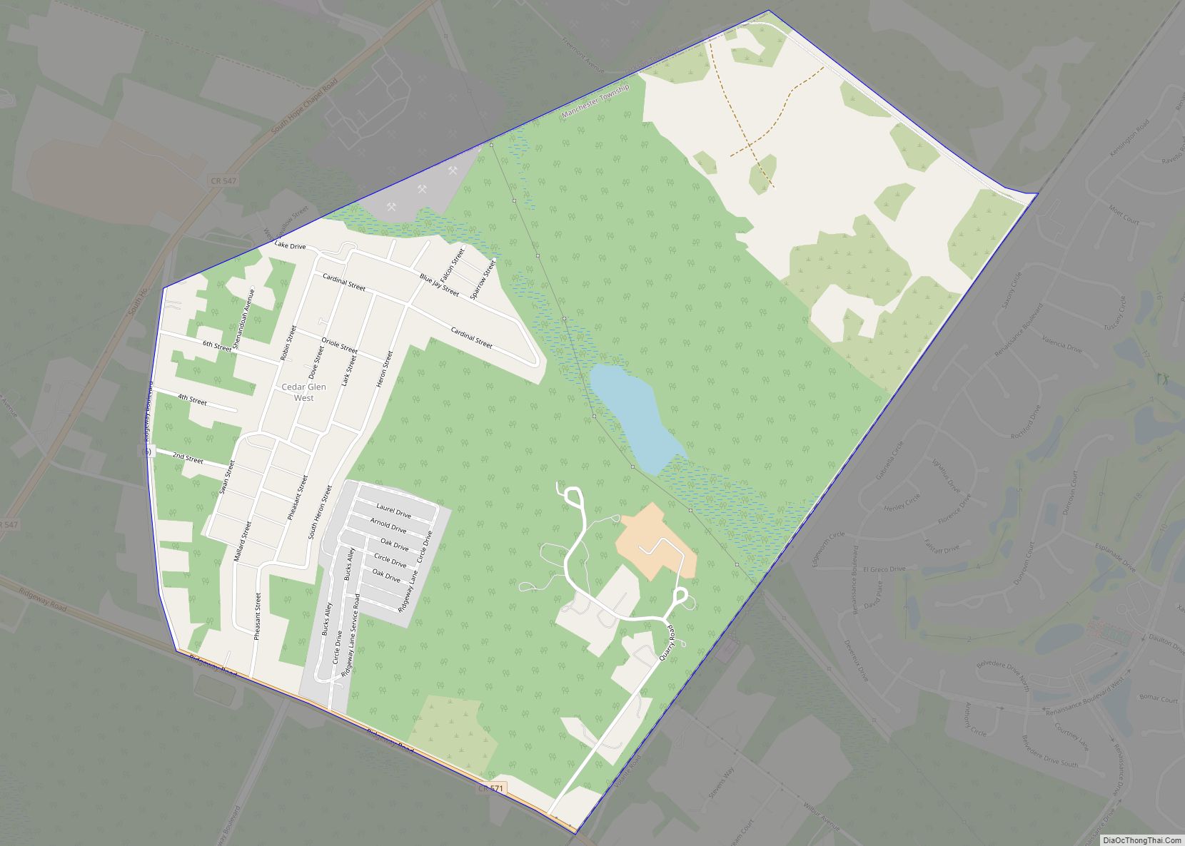
Cedar Glen West is an unincorporated community and census-designated place (CDP) located within Manchester Township, in Ocean County, New Jersey, United States. As of the 2010 United States Census, the CDP’s population was 1,267. Cedar Glen West CDP overview: Name: Cedar Glen West CDP LSAD Code: 57 LSAD Description: CDP (suffix) State: New Jersey County: ... Read more

