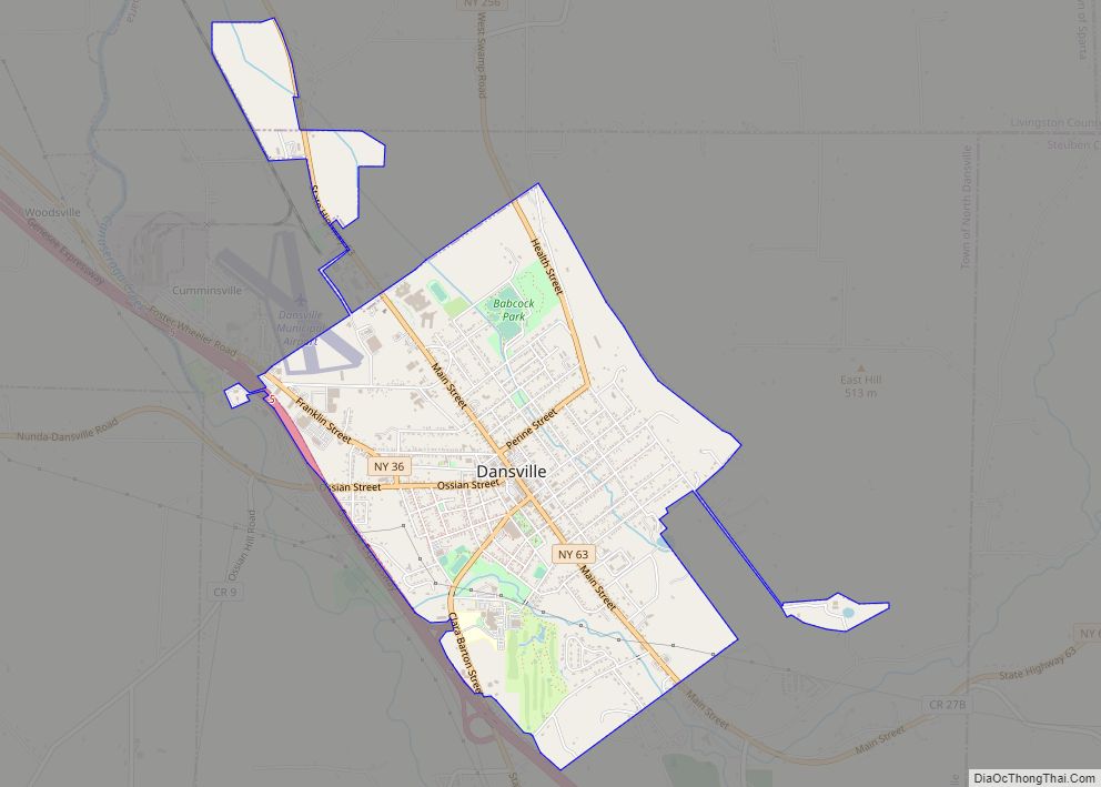
Dansville is a village in the town of North Dansville, with a small northern part in the town of Sparta in Livingston County, in western New York, United States. As of the 2020 census, the village population was 4,433. The village is named after Daniel Faulkner, an early European-American settler. Interstate 390 passes the west ... Read more
New York Cities and Places
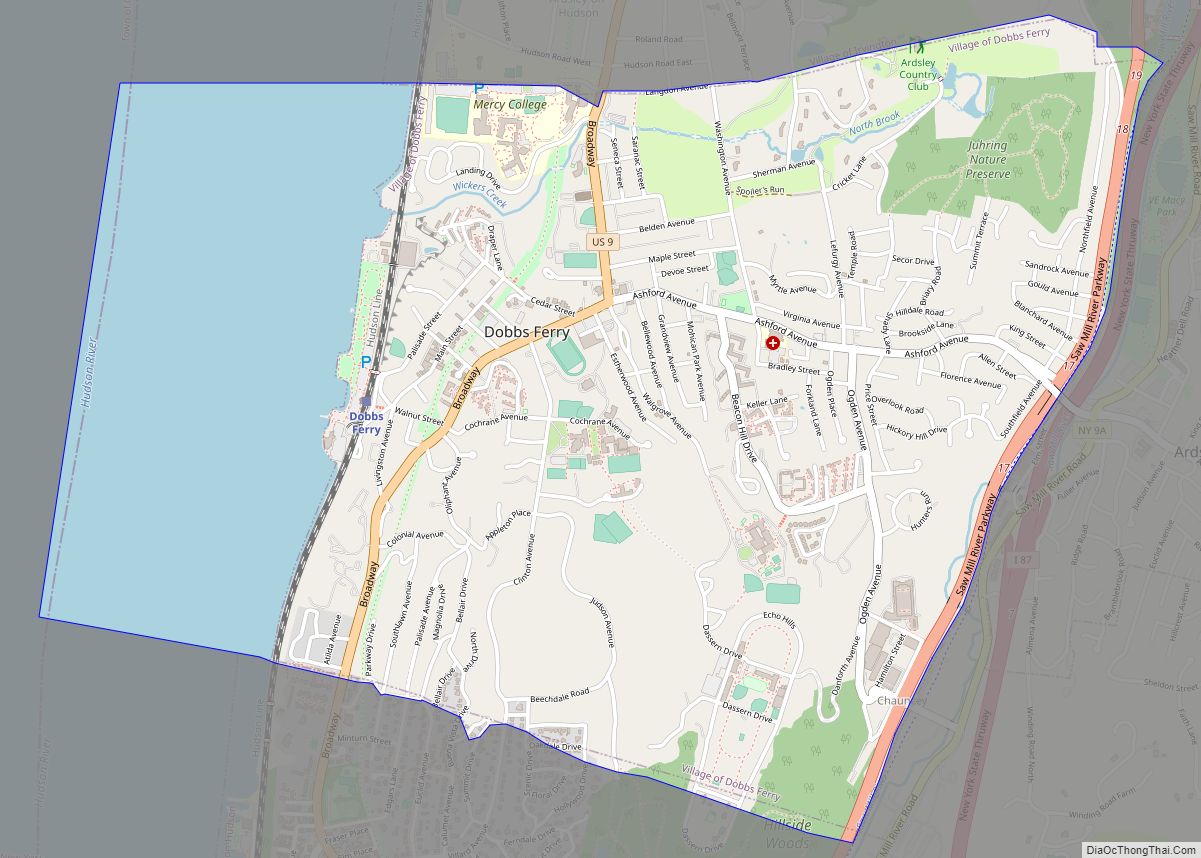
Dobbs Ferry is a village in Westchester County, New York, United States. The population was 10,875 according to the 2010 United States Census. In 2021, its population rose to an estimated 11,456. The village of Dobbs Ferry is located in, and is a part of, the town of Greenburgh. The village ZIP code is 10522. ... Read more
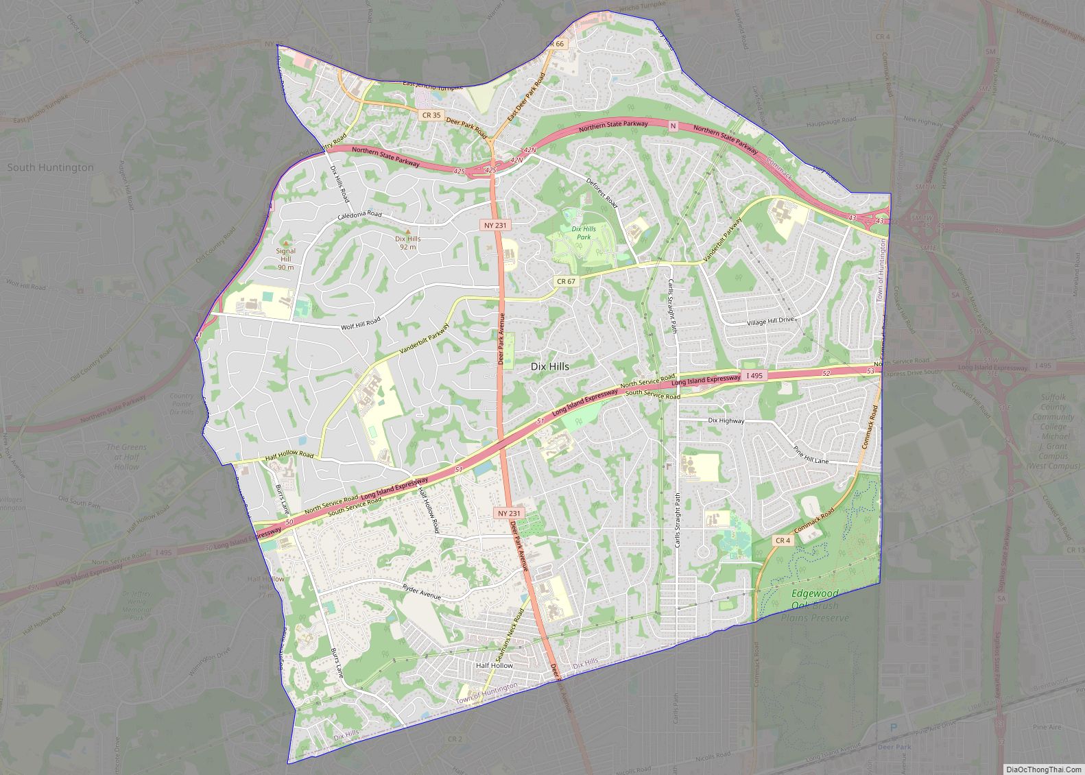
Dix Hills is a hamlet and census-designated place (CDP) on Long Island in the town of Huntington in Suffolk County, New York. The population was 26,180 at the 2020 census. Dix Hills CDP overview: Name: Dix Hills CDP LSAD Code: 57 LSAD Description: CDP (suffix) State: New York County: Suffolk County Elevation: 203 ft (62 m) Total ... Read more
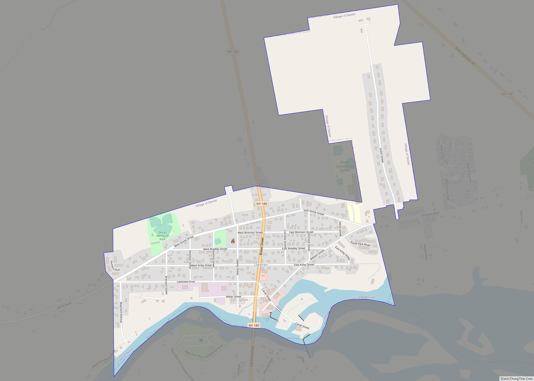
Dexter is a village in Jefferson County, New York, United States. The population was 1,052 at the 2010 census. The name is derived from Simon Newton Dexter, one of the village’s stockholders. Dexter is in the southern part of the town of Brownville and is west of Watertown. Dexter village overview: Name: Dexter village LSAD ... Read more
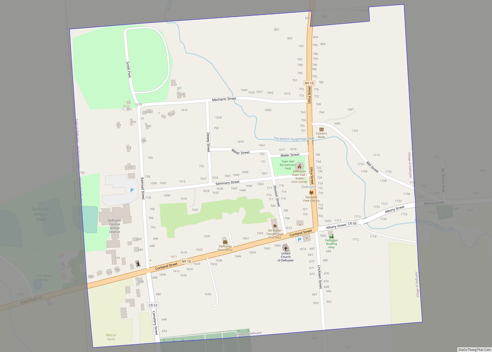
DeRuyter /dəˈraɪtər/ is a village located in the Town of DeRuyter in Madison County, New York, United States. The population was 558 at the 2010 census. The village and town are named after Michiel Adriaenszoon de Ruyter, a famous admiral in the Dutch navy. The Village of DeRuyter is located in the southwestern corner of ... Read more
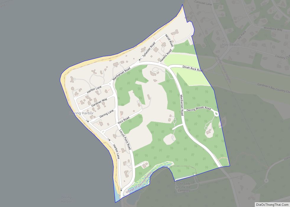
Dering Harbor is a village in the Town of Shelter Island, in Suffolk County, New York, United States. As of the 2010 census, the village population was 11, making it the least populous village in the State of New York. The Incorporated Village of Dering Harbor is located on the northern side of Shelter Island, ... Read more
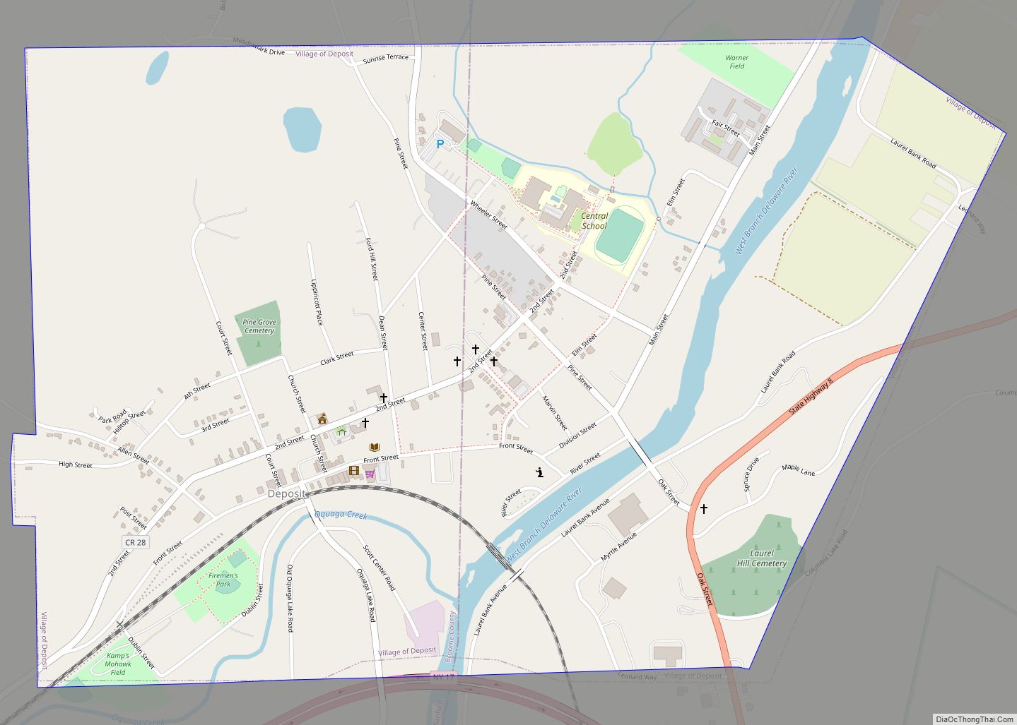
Deposit is a village in Broome and Delaware counties in the U.S. state of New York. The population was 1,663 at the 2010 census. The village, on the county line, is half within the town of Sanford (Broome County) and half within the town of Deposit (Delaware County). The Broome County portion of Deposit is ... Read more
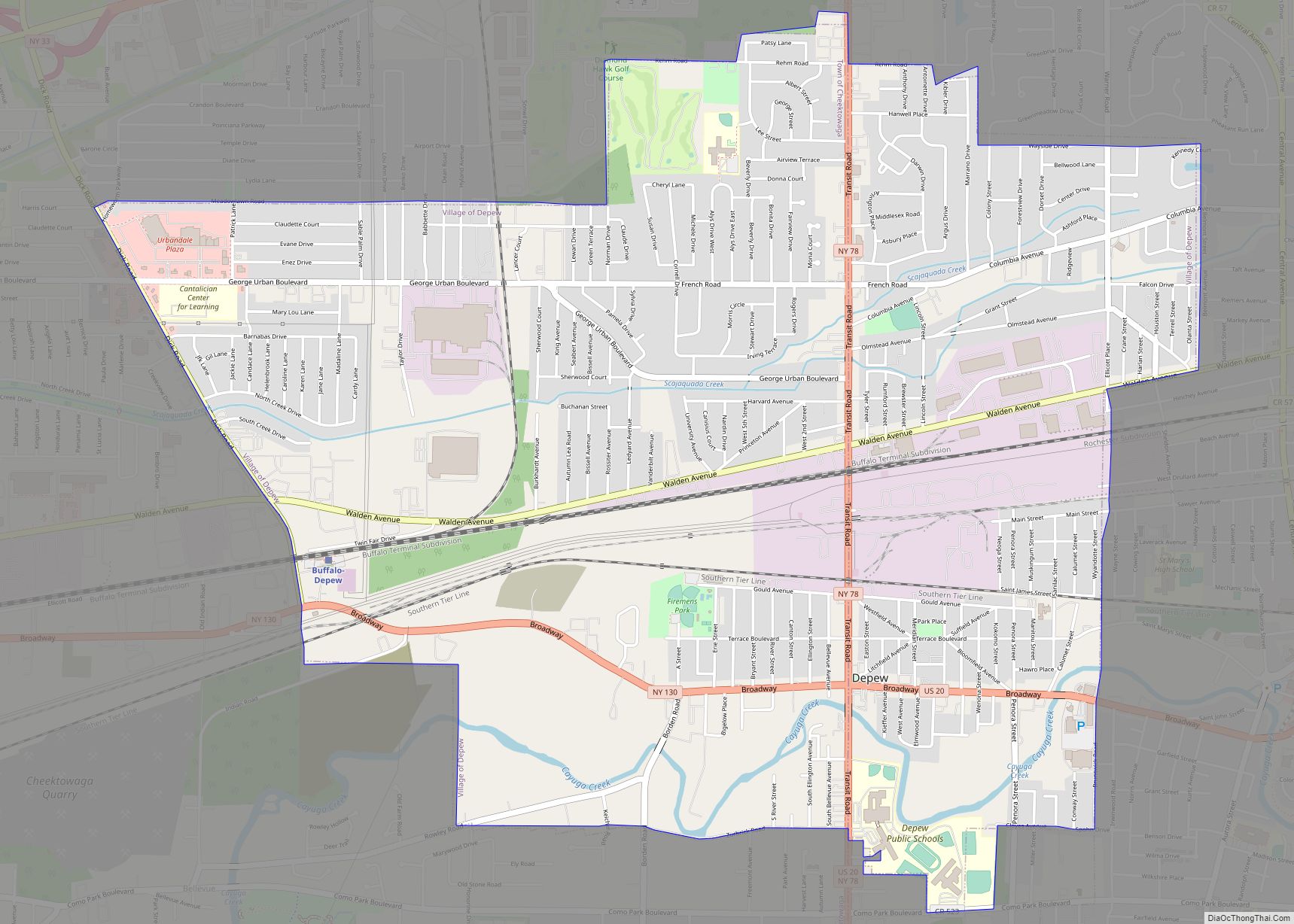
Depew (/dəˈpju/) is a village in Erie County, New York. The population was 15,303 at the time of the 2010 census. It is part of the Buffalo–Niagara Falls metropolitan area. The village is named for Chauncey Depew, a politician and one of the original investors who bought the land for the village, which was incorporated ... Read more
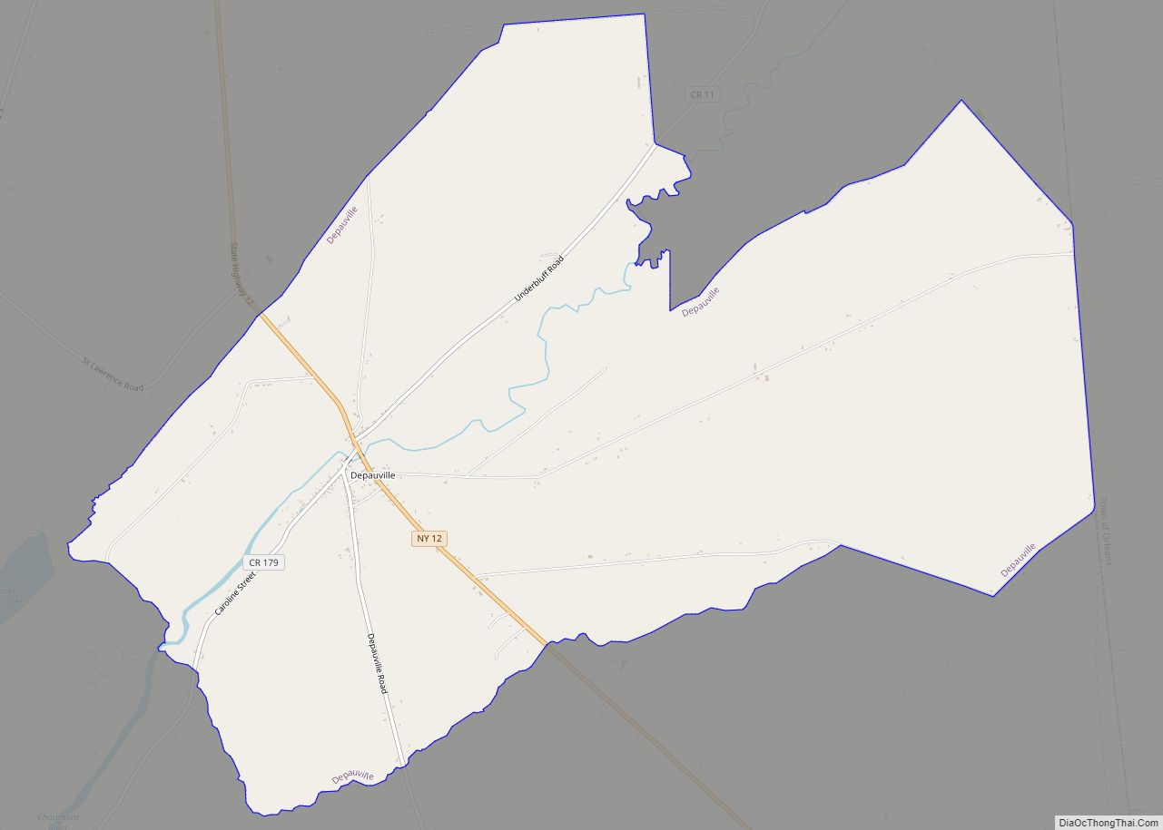
Depauville is a hamlet and census-designated place (CDP) in the southern region of the town of Clayton, within Jefferson County, New York, United States. The population was at 577 at the 2010 census. Depauville CDP overview: Name: Depauville CDP LSAD Code: 57 LSAD Description: CDP (suffix) State: New York County: Jefferson County Elevation: 305 ft (93 m) ... Read more
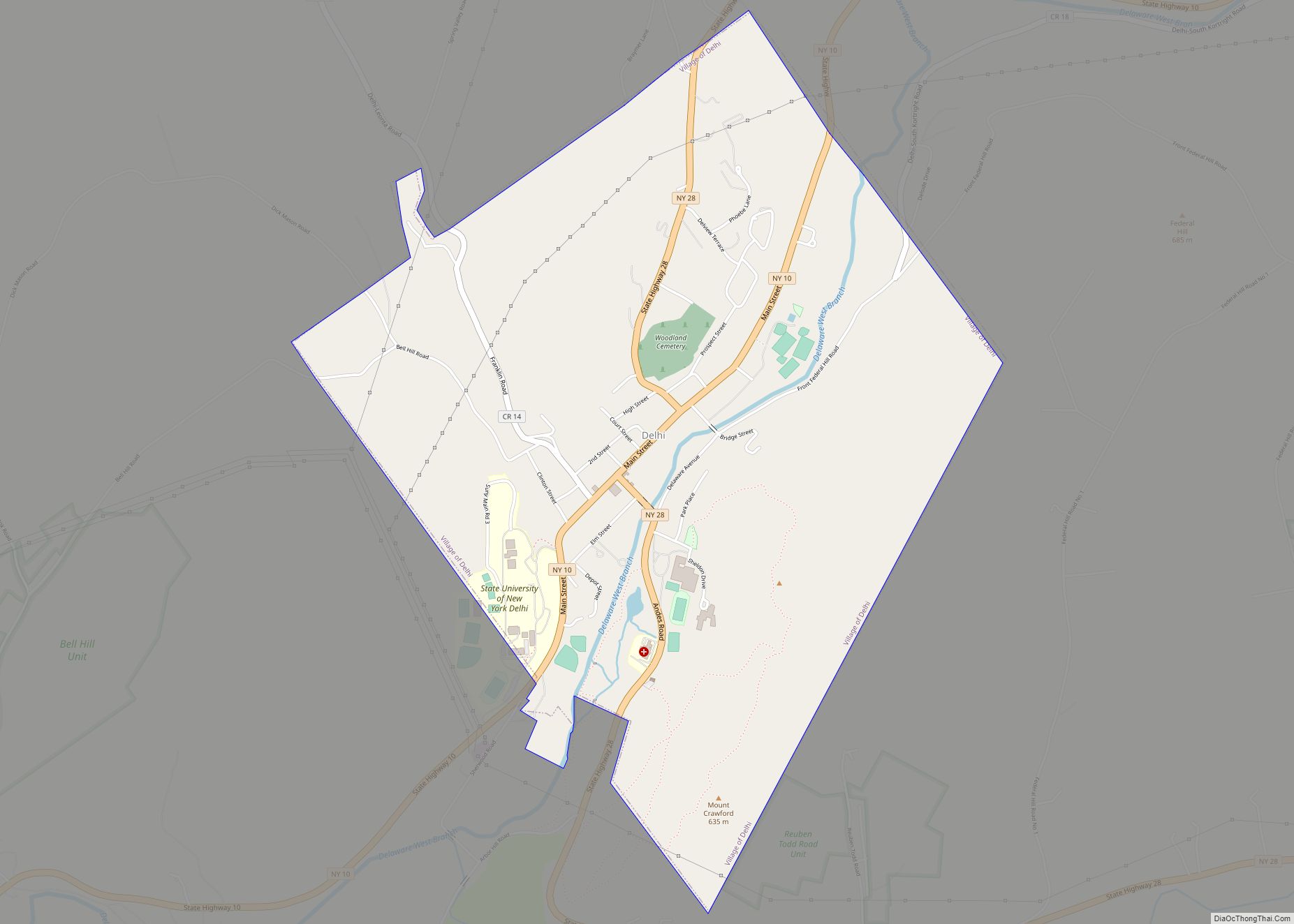
Delhi (/ˈdɛl.hɛ/ DEL-He) is a village in Delaware County, New York, United States. The population was 3,087 at the 2010 census. Delhi is the county seat of Delaware County. Delhi village is within the town of Delhi on Routes 10 and 28. The State University of New York at Delhi, partially within the village limits, ... Read more
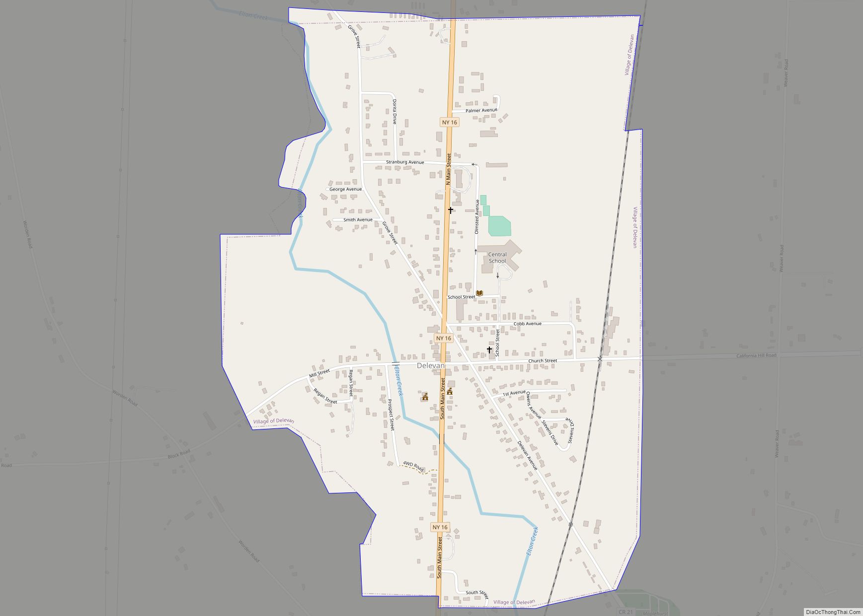
Delevan is a village in Cattaraugus County, New York, United States. The population was 1,064 at the 2020 census. The village is within the town of Yorkshire Delevan village overview: Name: Delevan village LSAD Code: 47 LSAD Description: village (suffix) State: New York County: Cattaraugus County Elevation: 1,424 ft (434 m) Total Area: 0.99 sq mi (2.57 km²) Land Area: ... Read more
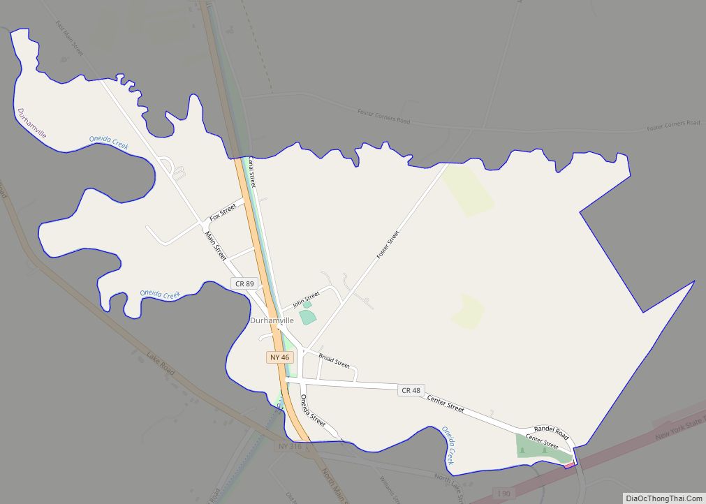
Durhamville is a hamlet located in Oneida County, New York, United States. The population was 584 as of the 2010 census. The Hamlet of Durhamville is in the southern part of the county and is approximately 1.75 miles north of Oneida on Route 46. Durhamville CDP overview: Name: Durhamville CDP LSAD Code: 57 LSAD Description: ... Read more
