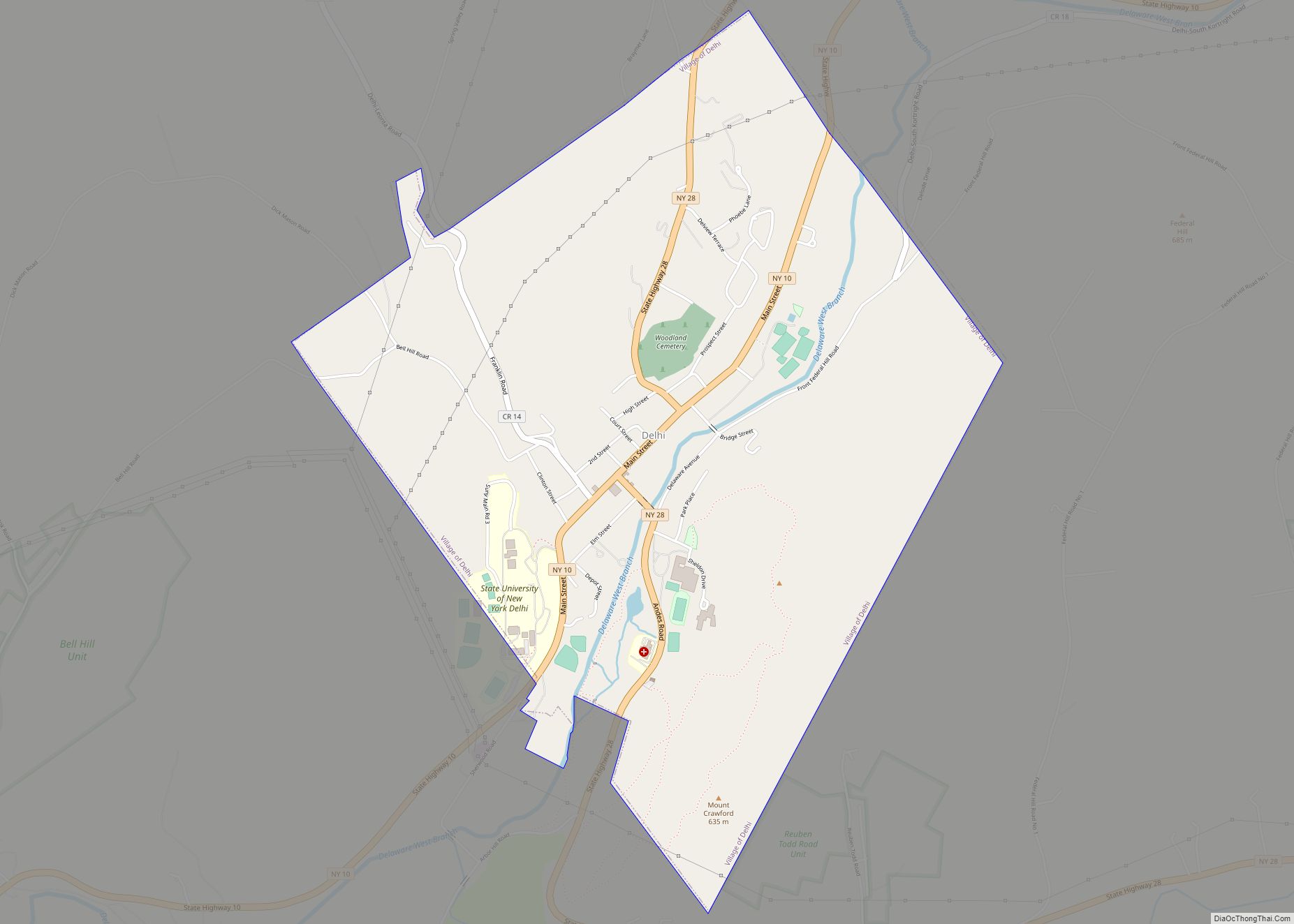
Delhi (/ˈdɛl.hɛ/ DEL-He) is a village in Delaware County, New York, United States. The population was 3,087 at the 2010 census. Delhi is the county seat of Delaware County.
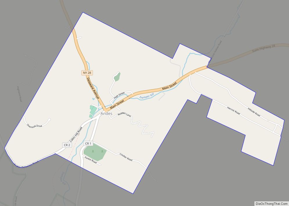
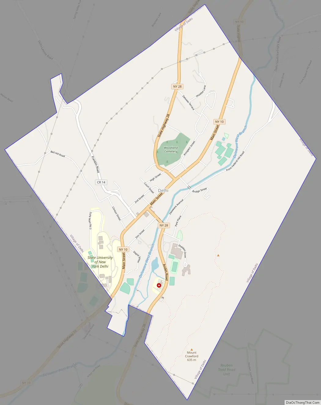
Delhi village is within the town of Delhi on Routes 10 and 28.
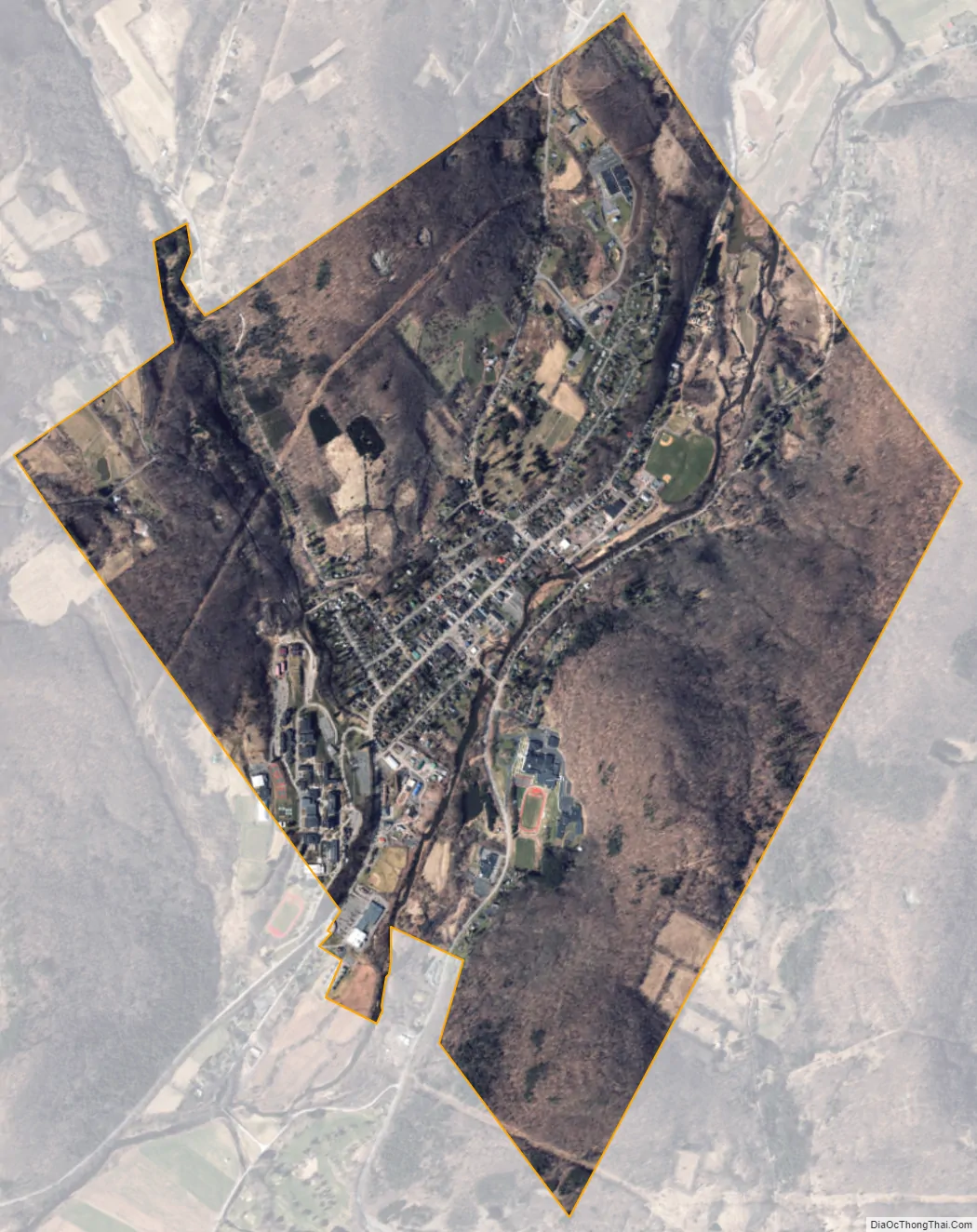
The State University of New York at Delhi, partially within the village limits, is located southwest of the town hall.
| Name: | Delhi village |
|---|---|
| LSAD Code: | 47 |
| LSAD Description: | village (suffix) |
| State: | New York |
| County: | Delaware County |
| Elevation: | 1,371 ft (418 m) |
| Total Area: | 3.23 sq mi (8.36 km²) |
| Land Area: | 3.18 sq mi (8.23 km²) |
| Water Area: | 0.05 sq mi (0.13 km²) |
| Total Population: | 2,721 |
| Population Density: | 856.74/sq mi (330.79/km²) |
| ZIP code: | 13753 |
| Area code: | 607 |
| FIPS code: | 3620126 |
| GNISfeature ID: | 0948275 |
| Website: | villageofdelhi.com |
Online Interactive Map
Click on ![]() to view map in "full screen" mode.
to view map in "full screen" mode.
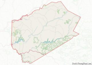
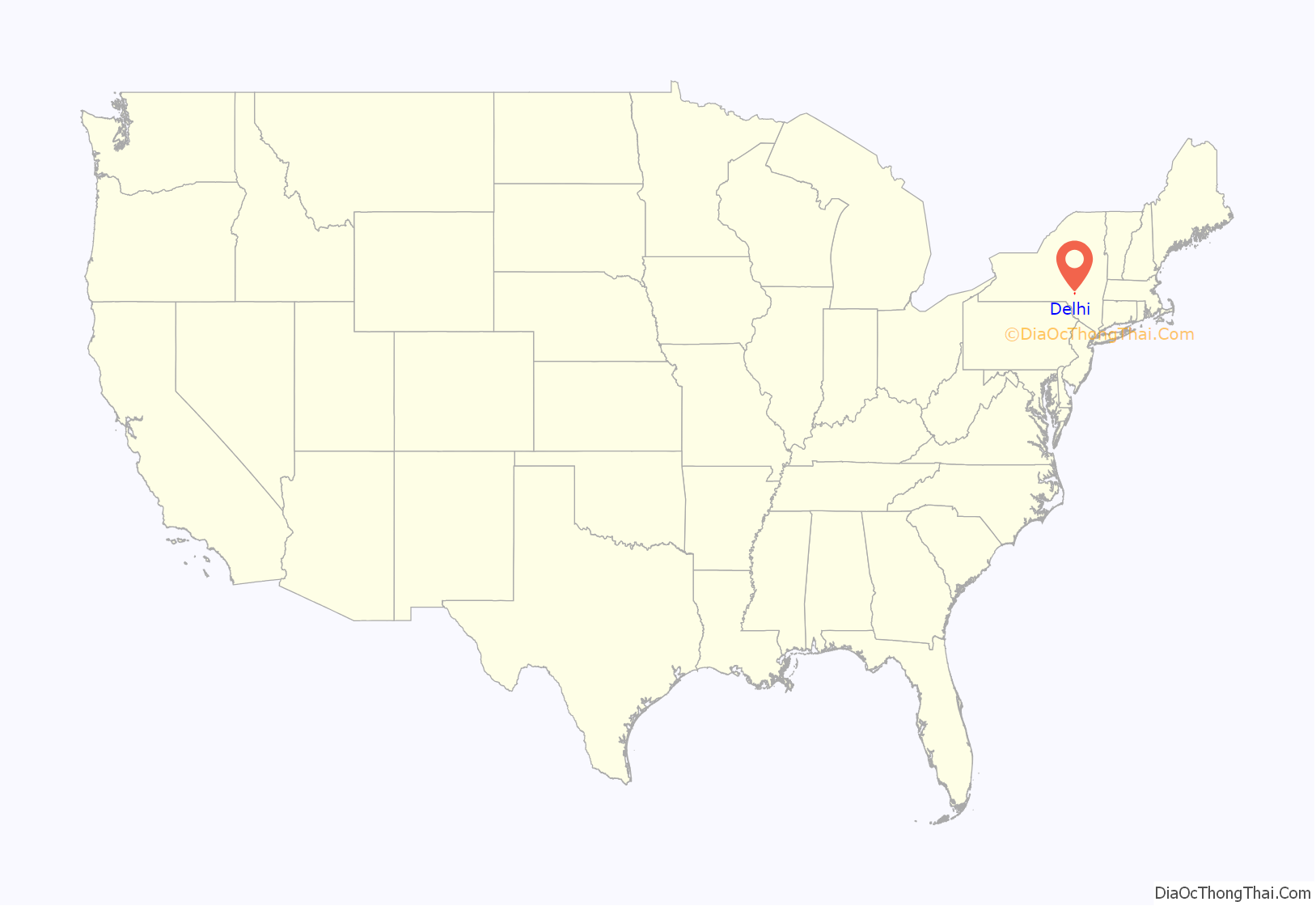
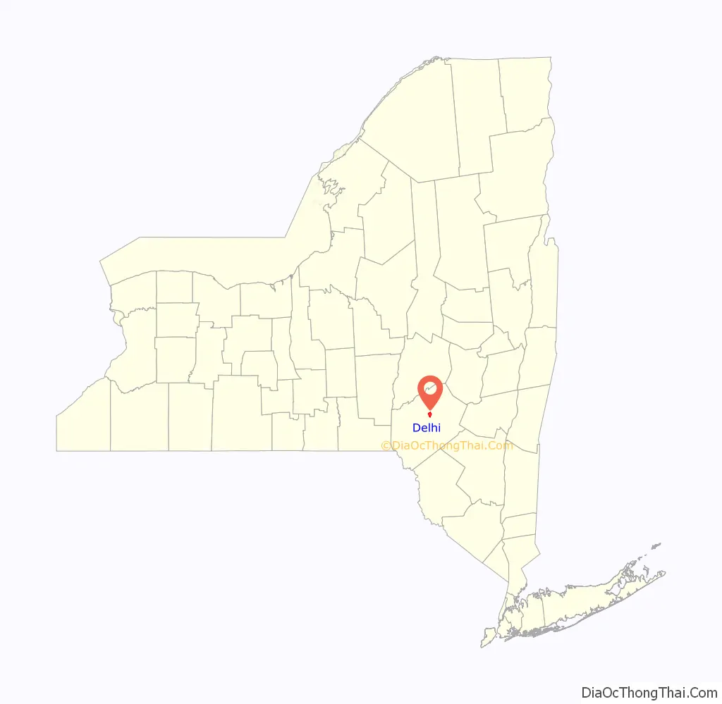
Delhi location map. Where is Delhi village?
History
Delhi was formally incorporated as a village in 1821.
The Delaware County Courthouse Square District, First Presbyterian Church, St. John’s Church Complex, and United States Post Office are listed on the National Register of Historic Places.
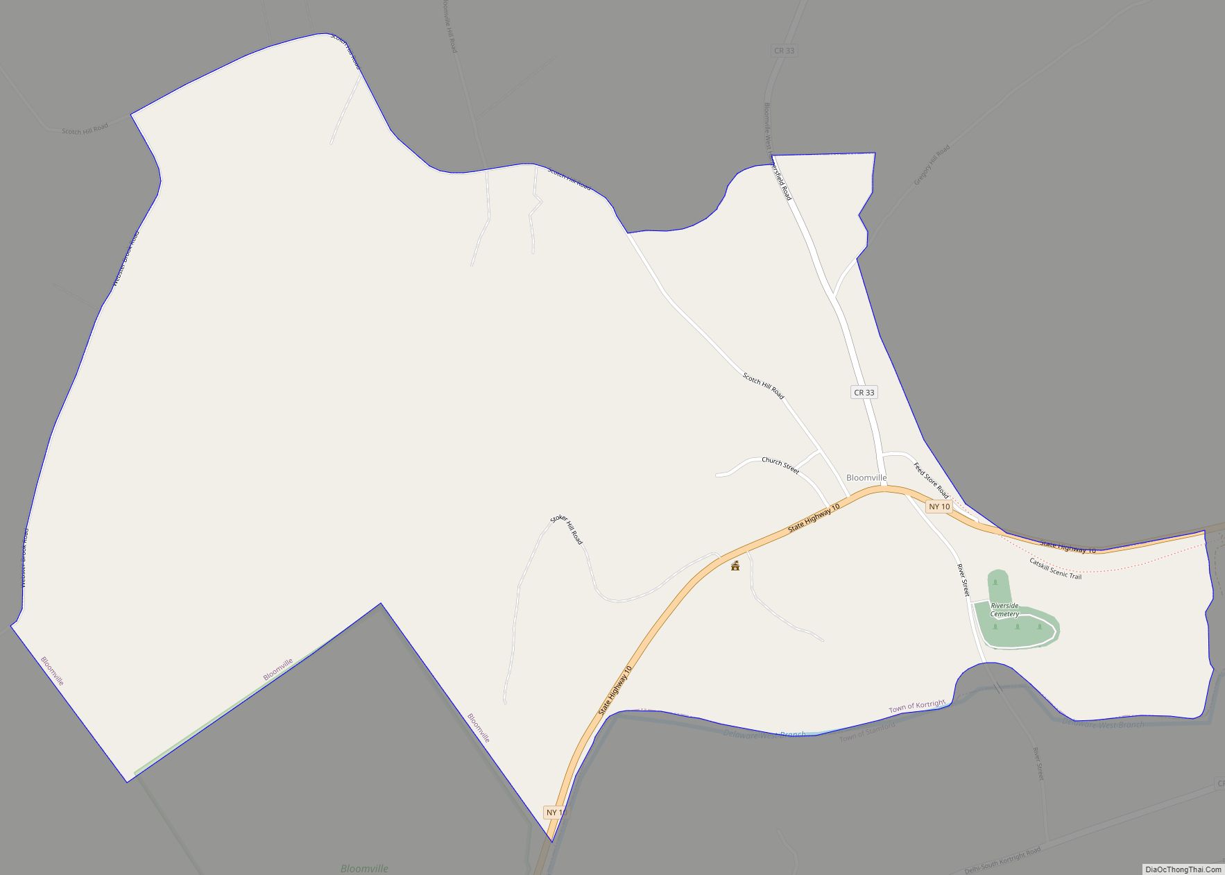
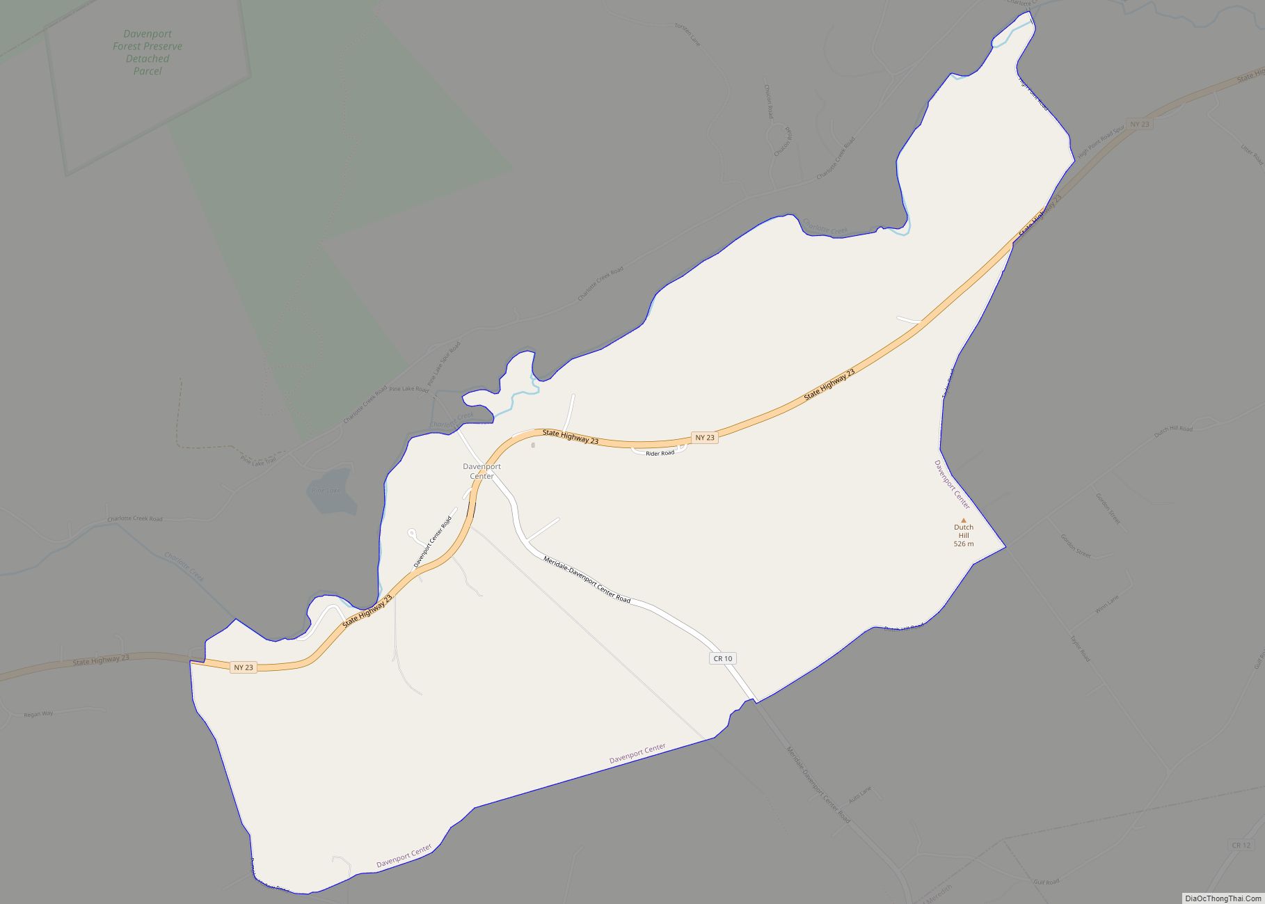
Delhi Road Map
Delhi city Satellite Map
Geography
Delhi is located in the center of the town of Delhi at 42°16′44″N 74°54′59″W / 42.27889°N 74.91639°W / 42.27889; -74.91639 (42.278926, -74.916408), northeast of the geographic center of Delaware County. New York State Route 10 passes through the village as it follows the valley of the West Branch Delaware River, leading northeast 20 miles (32 km) to Stamford and southwest 16 miles (26 km) to Walton. NY 28 also passes through the village, leading northwest 20 miles (32 km) to Oneonta and southeast 69 miles (111 km) to Kingston.
According to the United States Census Bureau, the village has a total area of 3.2 square miles (8.3 km), of which 0.04 square miles (0.1 km), or 1.57%, is water. The West Branch Delaware River flows through the village from northeast to southwest.
See also
Map of New York State and its subdivision:- Albany
- Allegany
- Bronx
- Broome
- Cattaraugus
- Cayuga
- Chautauqua
- Chemung
- Chenango
- Clinton
- Columbia
- Cortland
- Delaware
- Dutchess
- Erie
- Essex
- Franklin
- Fulton
- Genesee
- Greene
- Hamilton
- Herkimer
- Jefferson
- Kings
- Lake Ontario
- Lewis
- Livingston
- Madison
- Monroe
- Montgomery
- Nassau
- New York
- Niagara
- Oneida
- Onondaga
- Ontario
- Orange
- Orleans
- Oswego
- Otsego
- Putnam
- Queens
- Rensselaer
- Richmond
- Rockland
- Saint Lawrence
- Saratoga
- Schenectady
- Schoharie
- Schuyler
- Seneca
- Steuben
- Suffolk
- Sullivan
- Tioga
- Tompkins
- Ulster
- Warren
- Washington
- Wayne
- Westchester
- Wyoming
- Yates
- Alabama
- Alaska
- Arizona
- Arkansas
- California
- Colorado
- Connecticut
- Delaware
- District of Columbia
- Florida
- Georgia
- Hawaii
- Idaho
- Illinois
- Indiana
- Iowa
- Kansas
- Kentucky
- Louisiana
- Maine
- Maryland
- Massachusetts
- Michigan
- Minnesota
- Mississippi
- Missouri
- Montana
- Nebraska
- Nevada
- New Hampshire
- New Jersey
- New Mexico
- New York
- North Carolina
- North Dakota
- Ohio
- Oklahoma
- Oregon
- Pennsylvania
- Rhode Island
- South Carolina
- South Dakota
- Tennessee
- Texas
- Utah
- Vermont
- Virginia
- Washington
- West Virginia
- Wisconsin
- Wyoming