Map of Andover village, New York
Andover is a village located in the town of Andover in Allegany County, New York, United States. The population was 1,042 at the 2010 census. The name is derived from Andover, Vermont. The village of Andover is centrally located in the town and near the east county line. Andover village overview: Name: Andover village LSAD ... Read more
Map of Andover village, New York
Map of Andes CDP
Andes is a hamlet and census-designated place (CDP) in Delaware County, New York, United States. The population was 252 at the 2010 census. It was formerly a village. Andes is located on Route 28 and is the only significant community in the town of Andes. Andes CDP overview: Name: Andes CDP LSAD Code: 57 LSAD ... Read more
Map of Andes CDP
Map of Amsterdam city, New York
Amsterdam is a city in Montgomery County, New York, United States. As of the 2020 census, the city had a population of 18,219. The city is named after Amsterdam in the Netherlands. The City of Amsterdam is surrounded on the northern, eastern and western sides by the town of Amsterdam. The city developed on both ... Read more
Map of Amsterdam city, New York
Map of Amityville village
Amityville (/ˈæmɪtivɪl/) is a village near the Town of Babylon in Suffolk County, on the South Shore of Long Island, in New York. The population was 9,523 at the 2010 census. Amityville village overview: Name: Amityville village LSAD Code: 47 LSAD Description: village (suffix) State: New York County: Suffolk County Incorporated: March 3, 1894 Elevation: ... Read more
Map of Amityville village
Map of Ames village, New York
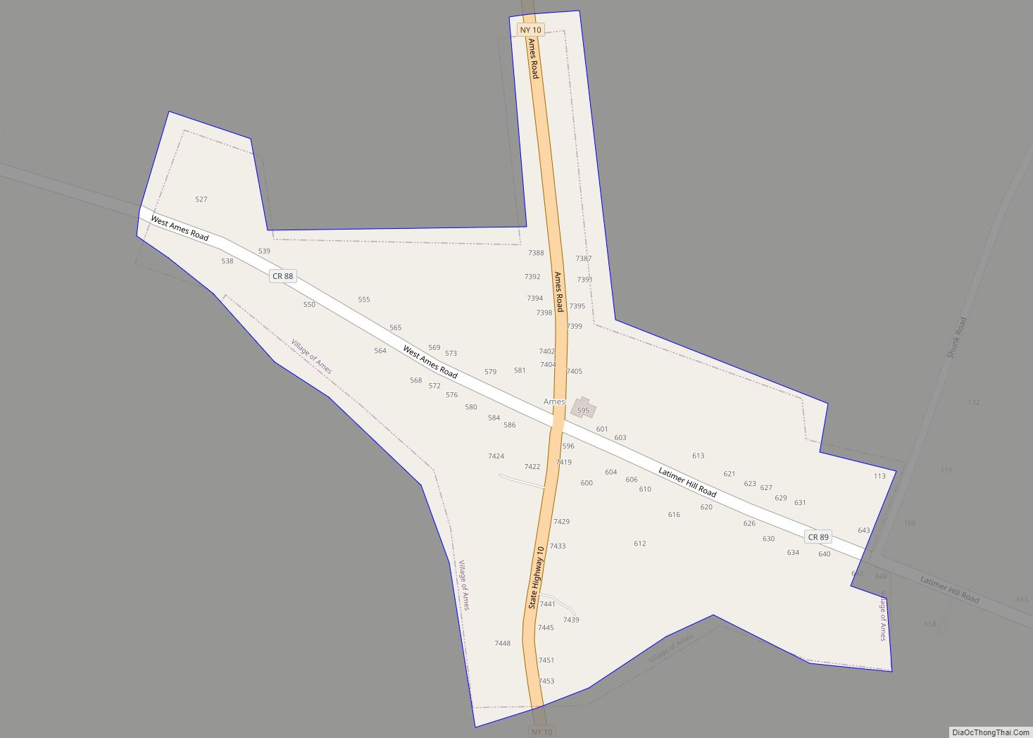
Ames is a village in Montgomery County, New York, United States. The population was 145 at the 2010 census. The Village of Ames is in the south-central part of the Town of Canajoharie and is south of the Village of Canajoharie. Ames is one of the smallest villages in New York State. Ames village overview: ... Read more
Map of Ames village, New York
Map of Amenia CDP, New York
Amenia is a hamlet and census-designated place (CDP) in Dutchess County, New York, United States. The population was 955 at the 2010 census. It is part of the Poughkeepsie–Newburgh–Middletown, NY Metropolitan Statistical Area as well as the larger New York–Newark–Bridgeport, NY-NJ–CT–PA Combined Statistical Area. The hamlet of Amenia is in the town of Amenia on ... Read more
Map of Amenia CDP, New York
Map of Amagansett CDP
Amagansett /ˌæməˈɡænsət/ is a census-designated place that roughly corresponds to the hamlet by the same name in the Town of East Hampton in Suffolk County, New York, United States, on the South Shore of Long Island. As of the 2010 United States Census, the CDP population was 1,165. Amagansett hamlet was founded in 1680. Amagansett ... Read more
Map of Amagansett CDP
Map of Altona CDP, New York
Altona is a hamlet and census-designated place (CDP) in the town of Altona, Clinton County, New York, United States. The population was 730 at the 2010 census, out of a total town population of 2,887. Altona CDP overview: Name: Altona CDP LSAD Code: 57 LSAD Description: CDP (suffix) State: New York County: Clinton County Elevation: ... Read more
Map of Altona CDP, New York
Map of Altmar CDP
Altmar is a hamlet (and census-designated place) in Oswego County, New York, United States. The population was 407 at the 2010 census. The former Village of Altmar (formerly “Sand Bank” and now dissolved) is in northern part of the Town of Albion at State Route 13 and County Route 22. Altmar is the seat of ... Read more
Map of Altmar CDP
Map of Arcade village, New York
Arcade is a village in Wyoming County, New York. The population was 2,071 at the 2010 census. The Village of Arcade in located in the southwest part of the Town of Arcade. The village is the location of the principal station of the Arcade and Attica Railroad and is located at the junction of NYS ... Read more
Map of Arcade village, New York
Map of Aquebogue CDP
Aquebogue (/ˈæ.kwəˌbɑːɡ/) is a census-designated place (CDP) roughly corresponding to the hamlet by the same name in the Town of Riverhead in Suffolk County, on Long Island, in New York, United States. The CDP’s population was 2,438 at the 2010 census. Aquebogue is part of Long Island’s North Fork wine region and is home to ... Read more
Map of Aquebogue CDP
Map of Apalachin CDP
Apalachin (/ˈæpəˈleɪkɪn/ AP-ə-LAY-kin) is a census-designated place within the Town of Owego in Tioga County, New York, United States. The population was 1,131 in the 2010 census. The CDP is named after Apalachin Creek. Apalachin is in the southeastern section of the Town of Owego and is west of Binghamton. It is also part of ... Read more
Map of Apalachin CDP