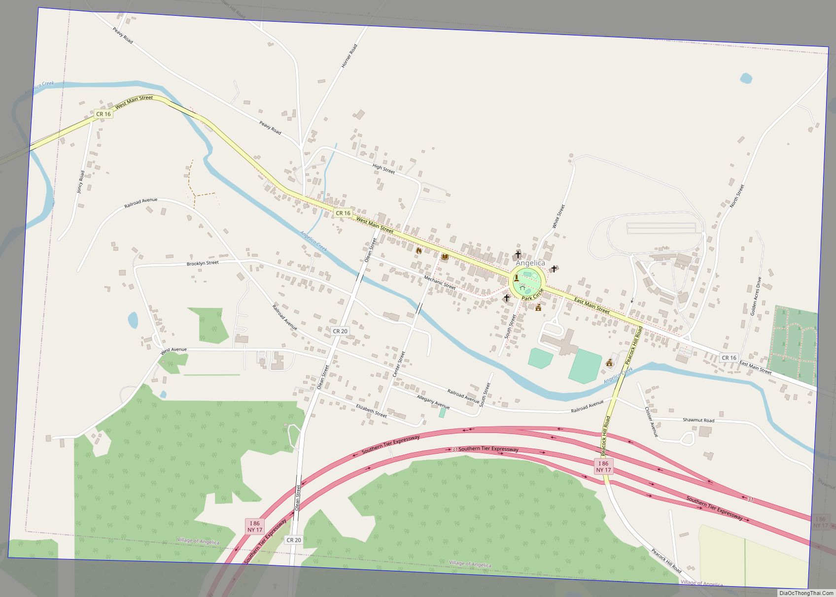
Angelica is a village in the town of Angelica in Allegany County, New York, United States. The population was 869 at the 2010 census. The village and the town are named after Angelica Schuyler Church, a daughter of General Philip Schuyler, sister-in-law of Founding Father Alexander Hamilton and wife of John Barker Church.
| Name: | Angelica village |
|---|---|
| LSAD Code: | 47 |
| LSAD Description: | village (suffix) |
| State: | New York |
| County: | Allegany County |
| Elevation: | 1,434 ft (437 m) |
| Total Area: | 2.15 sq mi (5.57 km²) |
| Land Area: | 2.15 sq mi (5.57 km²) |
| Water Area: | 0.00 sq mi (0.00 km²) |
| Total Population: | 723 |
| Population Density: | 335.97/sq mi (129.72/km²) |
| ZIP code: | 14709 |
| Area code: | 585 |
| FIPS code: | 3602176 |
| GNISfeature ID: | 0942478 |
| Website: | www.angelicany.com |
Online Interactive Map
Click on ![]() to view map in "full screen" mode.
to view map in "full screen" mode.
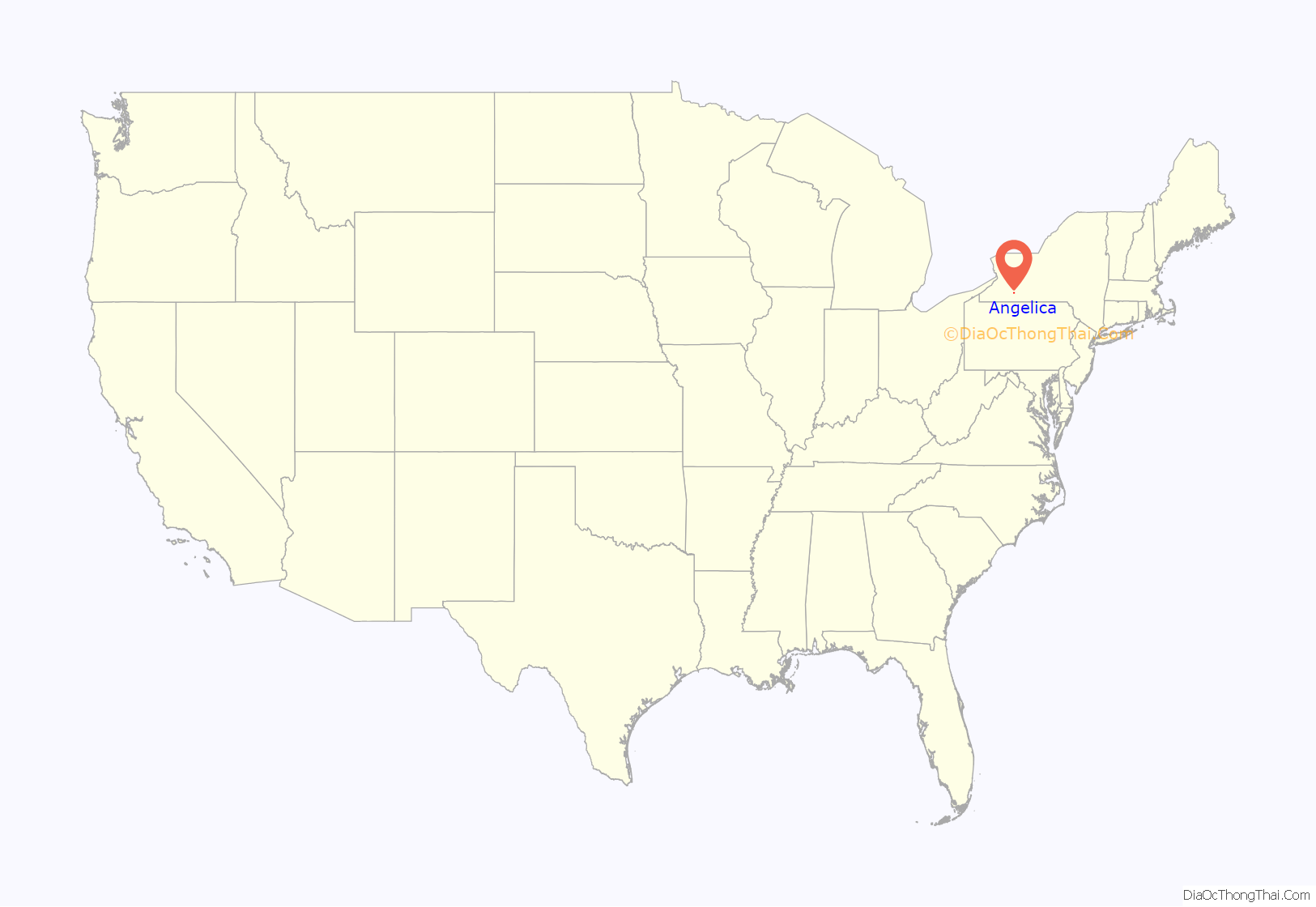
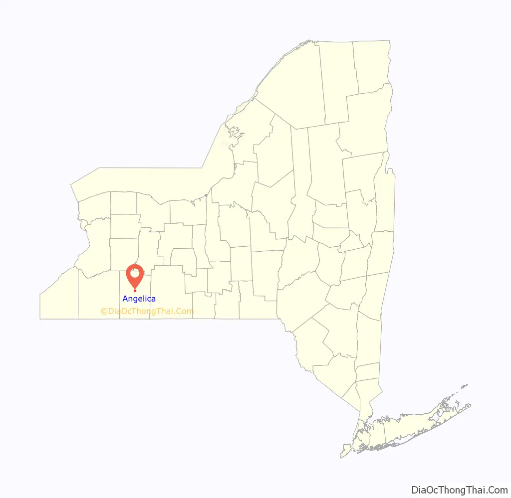
Angelica location map. Where is Angelica village?
History
The community was the first to be settled in the town of Angelica, in 1802. The village of Angelica was incorporated in 1835. Angelica was formerly the county seat until the county government switched to Belmont. Founded by Philip Church, nephew of Elizabeth Schuyler Hamilton. Philip Church took a large tract of land that he had inherited in upstate New York and established the town of Angelica (Alexander Hamilton’s beloved sister-in-law), named in his mother’s honor. (Chernow p 727) In 1830, the population of Angelica was 998.
The Old Allegany County Courthouse was listed on the National Register of Historic Places in 1972. The Angelica Park Circle Historic District was listed in 1978.
Angelica Road Map

Angelica city Satellite Map

Geography
The village is located near the center of the town of Angelica, in the valley of Angelica Creek, a tributary of the Genesee River. The Southern Tier Expressway (Interstate 86 and New York State Route 17) passes through the southern part of the village, with access from Exit 31. The expressway leads west 31 miles (50 km) to Olean and east 62 miles (100 km) to Corning.
According to the U.S. Census Bureau, the village has an area of 2.15 square miles (5.57 km), all land.
The county fairgrounds are located in the eastern part of the village. Park Circle, in the village center, includes a roque court. Dubbed the “Town where History Lives”, Angelica is home to a number of antique shops which attract shoppers from throughout the state.
Climate
This climatic region is typified by large seasonal temperature differences, with warm to hot (and often humid) summers and cold (sometimes severely cold) winters. According to the Köppen Climate Classification system, Angelica has a humid continental climate, abbreviated “Dfb” on climate maps.
See also
Map of New York State and its subdivision:- Albany
- Allegany
- Bronx
- Broome
- Cattaraugus
- Cayuga
- Chautauqua
- Chemung
- Chenango
- Clinton
- Columbia
- Cortland
- Delaware
- Dutchess
- Erie
- Essex
- Franklin
- Fulton
- Genesee
- Greene
- Hamilton
- Herkimer
- Jefferson
- Kings
- Lake Ontario
- Lewis
- Livingston
- Madison
- Monroe
- Montgomery
- Nassau
- New York
- Niagara
- Oneida
- Onondaga
- Ontario
- Orange
- Orleans
- Oswego
- Otsego
- Putnam
- Queens
- Rensselaer
- Richmond
- Rockland
- Saint Lawrence
- Saratoga
- Schenectady
- Schoharie
- Schuyler
- Seneca
- Steuben
- Suffolk
- Sullivan
- Tioga
- Tompkins
- Ulster
- Warren
- Washington
- Wayne
- Westchester
- Wyoming
- Yates
- Alabama
- Alaska
- Arizona
- Arkansas
- California
- Colorado
- Connecticut
- Delaware
- District of Columbia
- Florida
- Georgia
- Hawaii
- Idaho
- Illinois
- Indiana
- Iowa
- Kansas
- Kentucky
- Louisiana
- Maine
- Maryland
- Massachusetts
- Michigan
- Minnesota
- Mississippi
- Missouri
- Montana
- Nebraska
- Nevada
- New Hampshire
- New Jersey
- New Mexico
- New York
- North Carolina
- North Dakota
- Ohio
- Oklahoma
- Oregon
- Pennsylvania
- Rhode Island
- South Carolina
- South Dakota
- Tennessee
- Texas
- Utah
- Vermont
- Virginia
- Washington
- West Virginia
- Wisconsin
- Wyoming