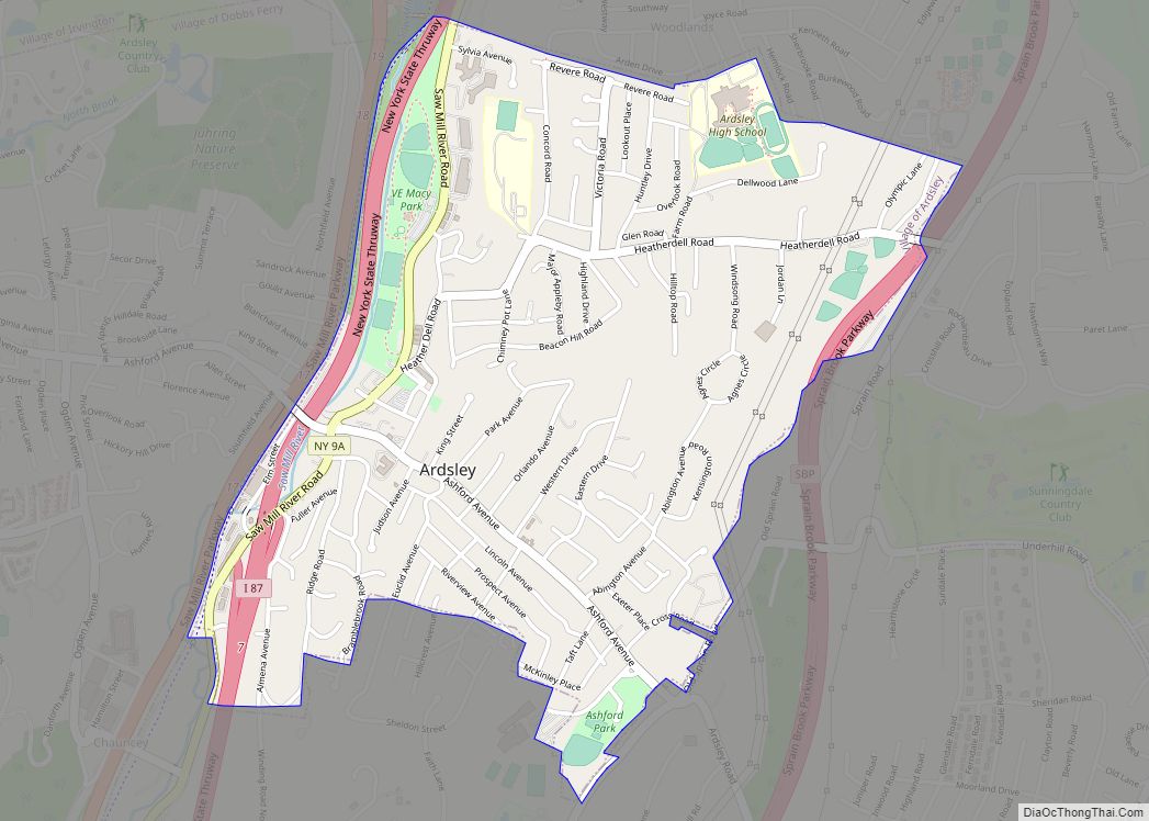
Ardsley is a village in Westchester County, New York, United States. It is part of the town of Greenburgh. The village’s population was 4,452 at the 2010 census. The mayor of Ardsley is Nancy Kaboolian. The Ardsley post office serves the entire village of Ardsley, plus some nearby unincorporated sections of Greenburgh. The Ardsley Union ... Read more
New York Cities and Places
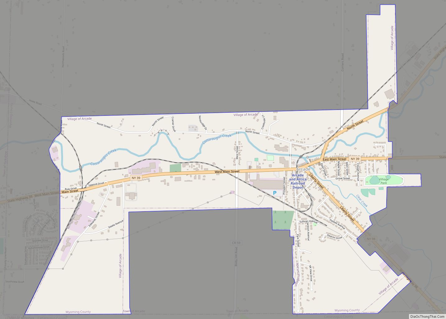
Arcade is a village in Wyoming County, New York. The population was 2,071 at the 2010 census. The Village of Arcade in located in the southwest part of the Town of Arcade. The village is the location of the principal station of the Arcade and Attica Railroad and is located at the junction of NYS ... Read more
Aquebogue (/ˈæ.kwəˌbɑːɡ/) is a census-designated place (CDP) roughly corresponding to the hamlet by the same name in the Town of Riverhead in Suffolk County, on Long Island, in New York, United States. The CDP’s population was 2,438 at the 2010 census. Aquebogue is part of Long Island’s North Fork wine region and is home to ... Read more
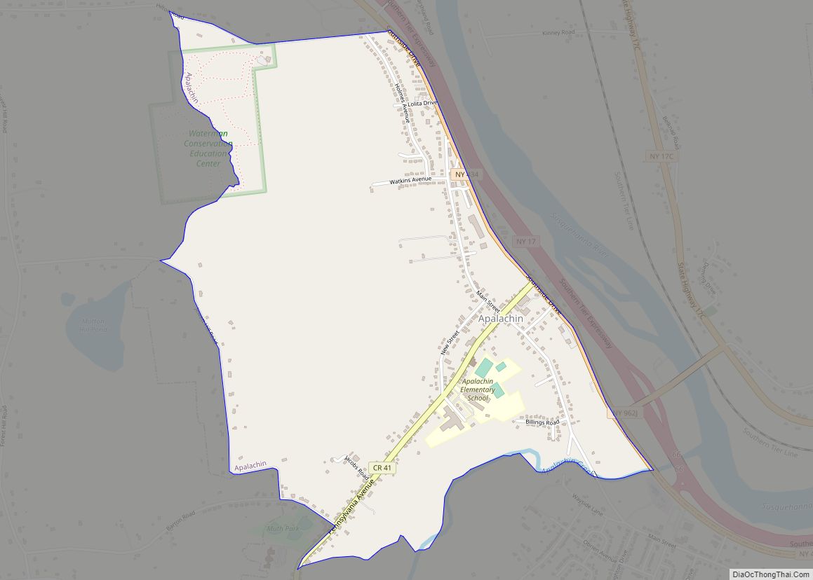
Apalachin (/ˈæpəˈleɪkɪn/ AP-ə-LAY-kin) is a census-designated place within the Town of Owego in Tioga County, New York, United States. The population was 1,131 in the 2010 census. The CDP is named after Apalachin Creek. Apalachin is in the southeastern section of the Town of Owego and is west of Binghamton. It is also part of ... Read more
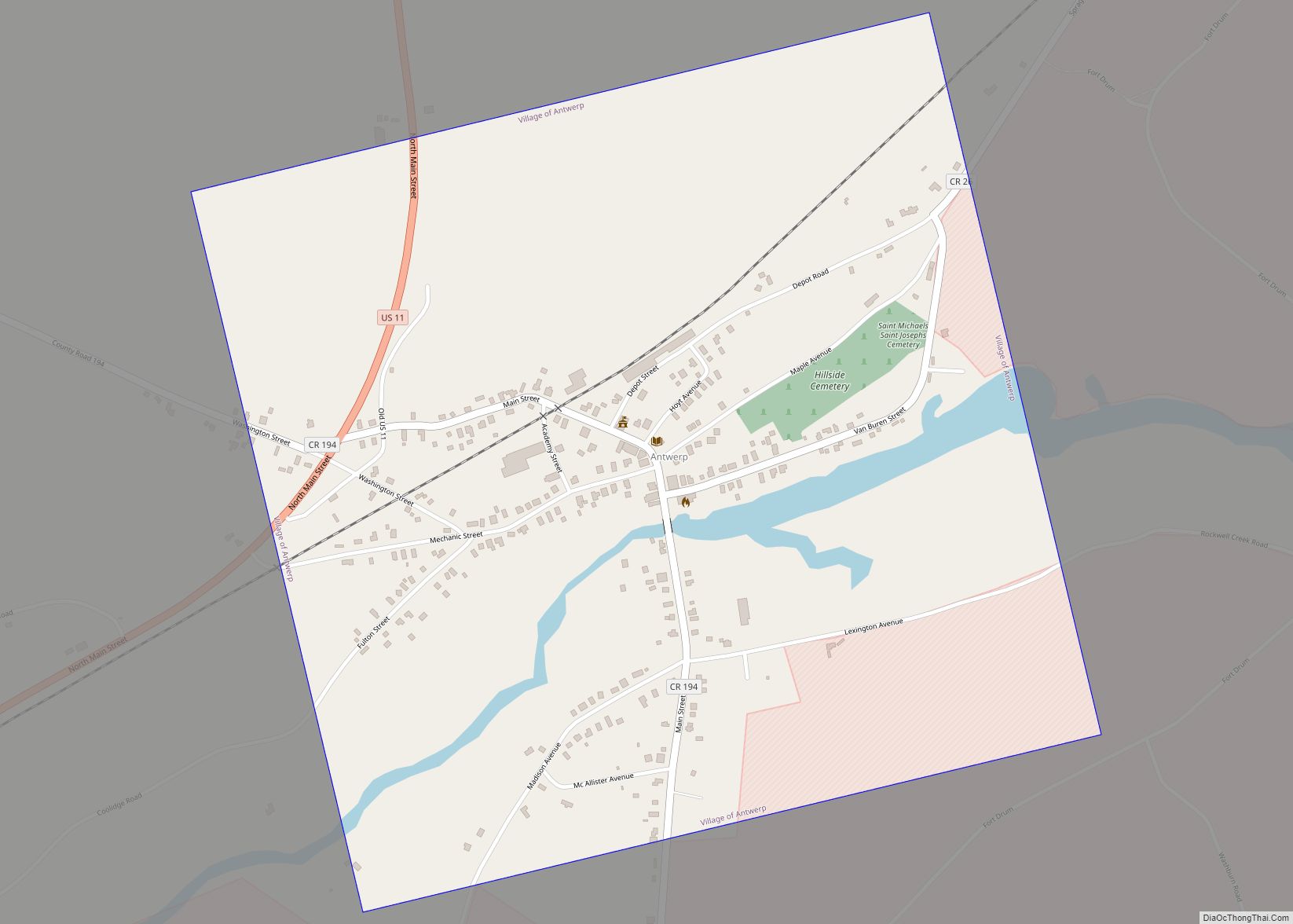
Antwerp is a village in Jefferson County, New York, United States. The population was 686 at the 2010 census. The village is in center of the town of Antwerp and is northeast of Watertown. Antwerp village overview: Name: Antwerp village LSAD Code: 47 LSAD Description: village (suffix) State: New York County: Jefferson County Elevation: 512 ft ... Read more
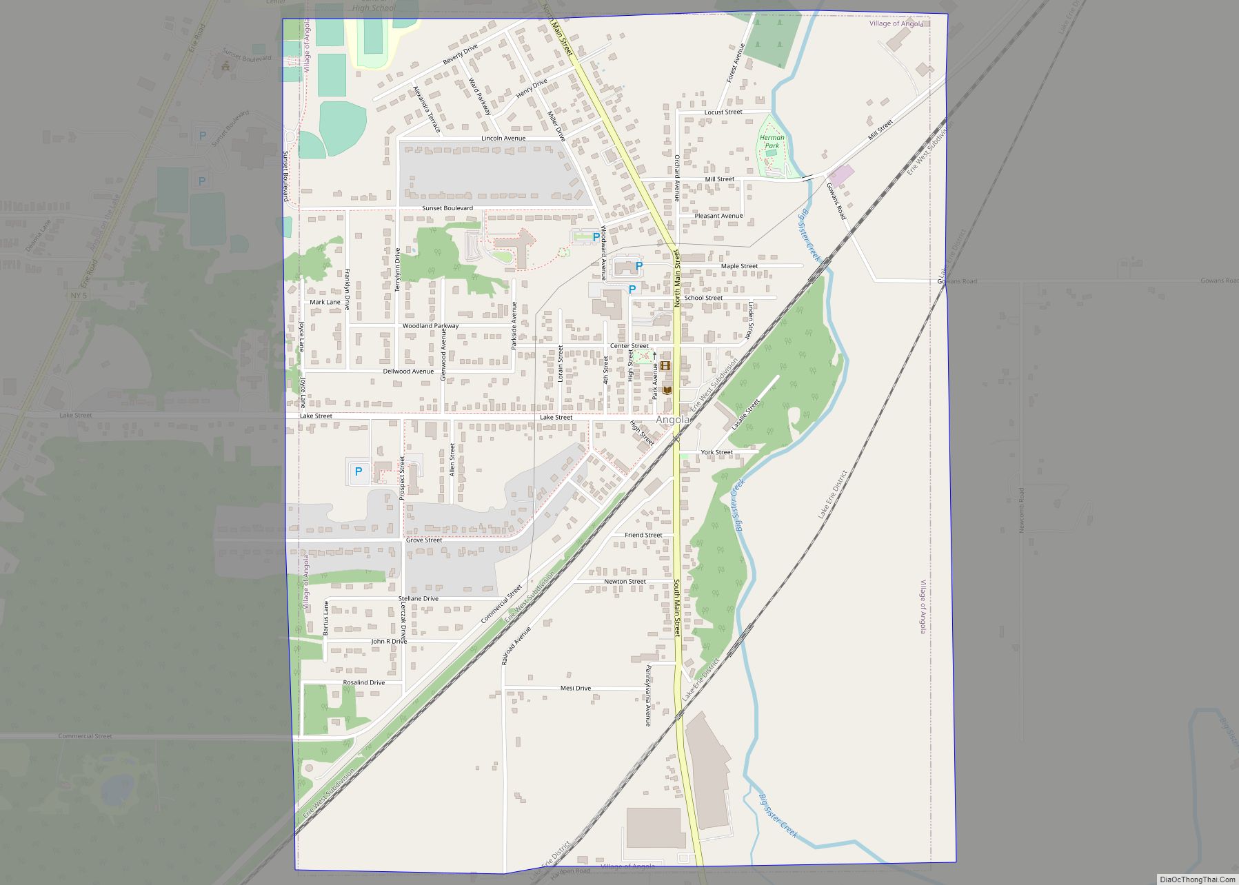
Angola is a village in the town of Evans in Erie County, New York, United States. Located 2 miles (3 km) east of Lake Erie, the village is 22 miles (35 km) southwest of downtown Buffalo. As of the 2010 Census, Angola had a population of 2,127. An unincorporated community known as Angola on the Lake, with ... Read more
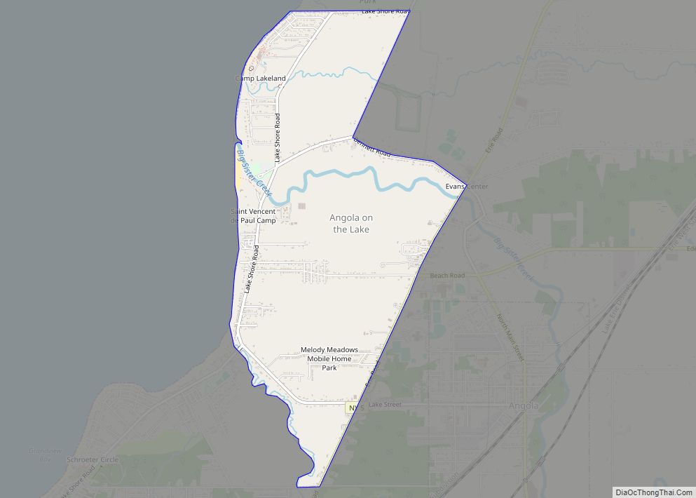
Angola on the Lake is a hamlet and census-designated place (CDP) in Erie County, New York, United States. The population was 1,675 at the 2010 census. It is part of the Buffalo–Niagara Falls Metropolitan Statistical Area. Angola on the Lake is in the town of Evans and is west of the village of Angola. The ... Read more
Athens is a village in Greene County, New York, United States. The population was 1,668 at the 2010 census. The village is named after the classical city of Athens. It is in the eastern part of the town of Athens, across the Hudson River from the city of Hudson. Athens village overview: Name: Athens village ... Read more
Asharoken is a village in the Town of Huntington in Suffolk County, on the North Shore of Long Island in New York. The population was 654 at the 2010 census. Asharoken village overview: Name: Asharoken village LSAD Code: 47 LSAD Description: village (suffix) State: New York County: Suffolk County Incorporated: 1925 Elevation: 13 ft (4 m) Total ... Read more
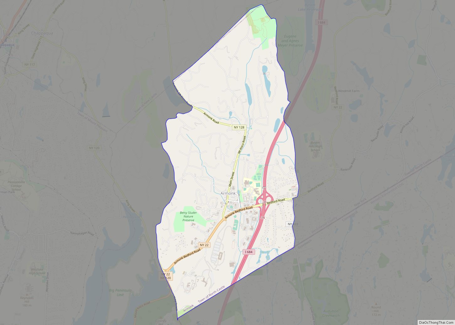
Armonk is a hamlet and census-designated place (CDP) in the town of North Castle, located in Westchester County, New York, United States. The corporate headquarters of IBM are located in Armonk. Armonk CDP overview: Name: Armonk CDP LSAD Code: 57 LSAD Description: CDP (suffix) State: New York County: Westchester County Elevation: 387 ft (118 m) Total Area: ... Read more
Avoca is a village located in the Town of Avoca in Steuben County, New York, United States. The population was 946 at the 2010 census. The Village of Avoca is located in the eastern part of the town, northwest of Bath. Avoca village overview: Name: Avoca village LSAD Code: 47 LSAD Description: village (suffix) State: ... Read more
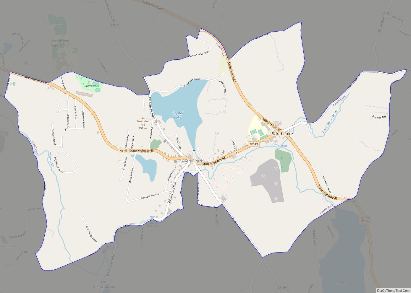
Averill Park is a census-designated place within the town of Sand Lake in Rensselaer County, New York, United States. The population was 2,098 at the 2020 census. The community is named after the local Averill family. It is located on Route 43, south of Crystal Lake and east of West Sand Lake. The Sand Lake ... Read more
