Ardsley is a village in Westchester County, New York, United States. It is part of the town of Greenburgh. The village’s population was 4,452 at the 2010 census. The mayor of Ardsley is Nancy Kaboolian.
The Ardsley post office serves the entire village of Ardsley, plus some nearby unincorporated sections of Greenburgh. The Ardsley Union Free School District includes the entire village of Ardsley plus parts of the village of Dobbs Ferry and unincorporated parts of Greenburgh. Ardsley has a library that is a member of the Westchester Library System.
Ardsley should not be confused with the nearby hamlet of Ardsley-on-Hudson, which is part of the village of Irvington.
| Name: | Ardsley village |
|---|---|
| LSAD Code: | 47 |
| LSAD Description: | village (suffix) |
| State: | New York |
| County: | Westchester County |
| Elevation: | 210 ft (64 m) |
| Total Area: | 1.32 sq mi (3.42 km²) |
| Land Area: | 1.32 sq mi (3.42 km²) |
| Water Area: | 0.00 sq mi (0.00 km²) |
| Total Population: | 5,079 |
| Population Density: | 3,844.81/sq mi (1,484.49/km²) |
| ZIP code: | 10502 |
| Area code: | 914 |
| FIPS code: | 3602506 |
| GNISfeature ID: | 0942544 |
| Website: | www.ardsleyvillage.com |
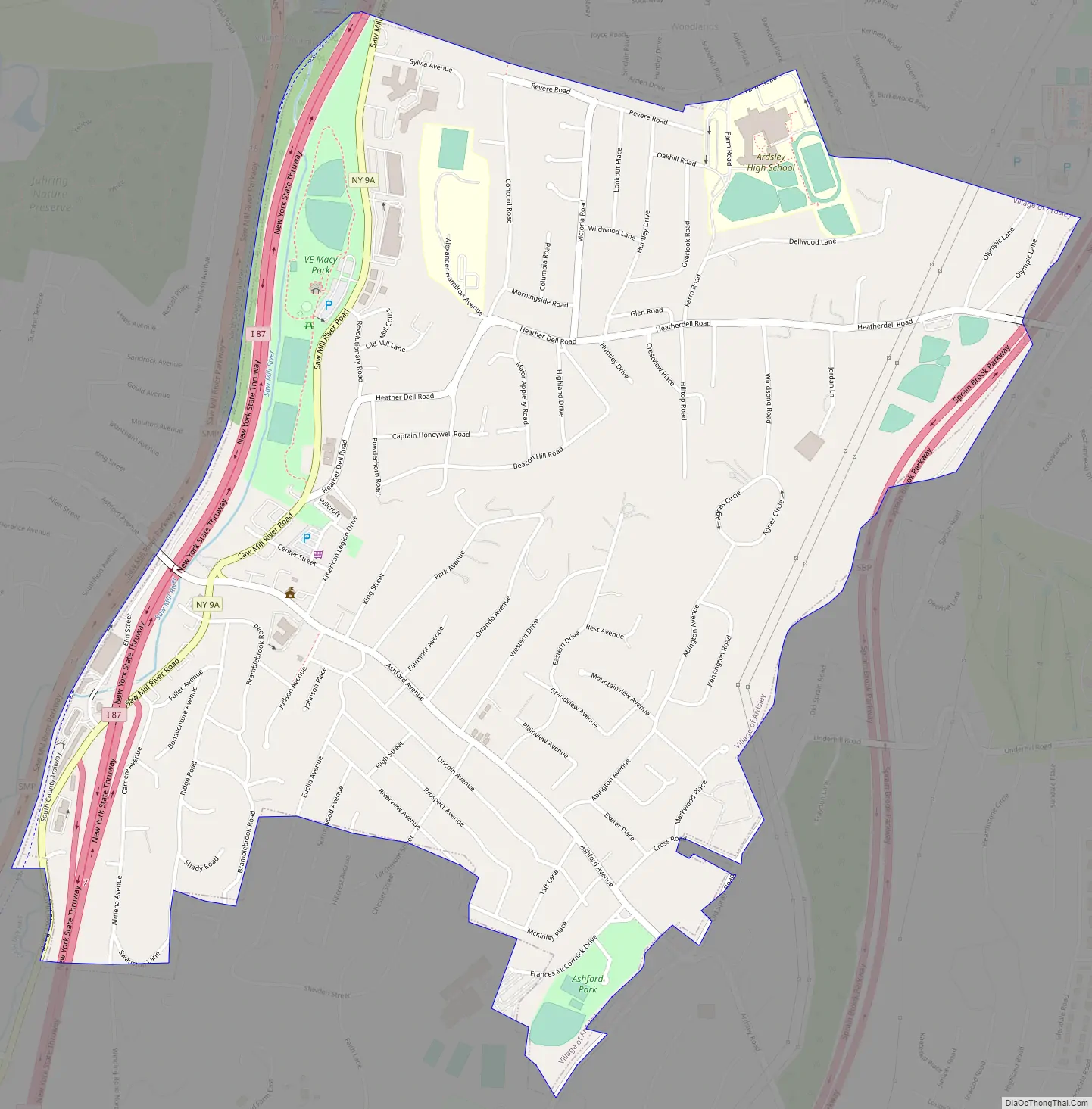
Online Interactive Map
Click on ![]() to view map in "full screen" mode.
to view map in "full screen" mode.
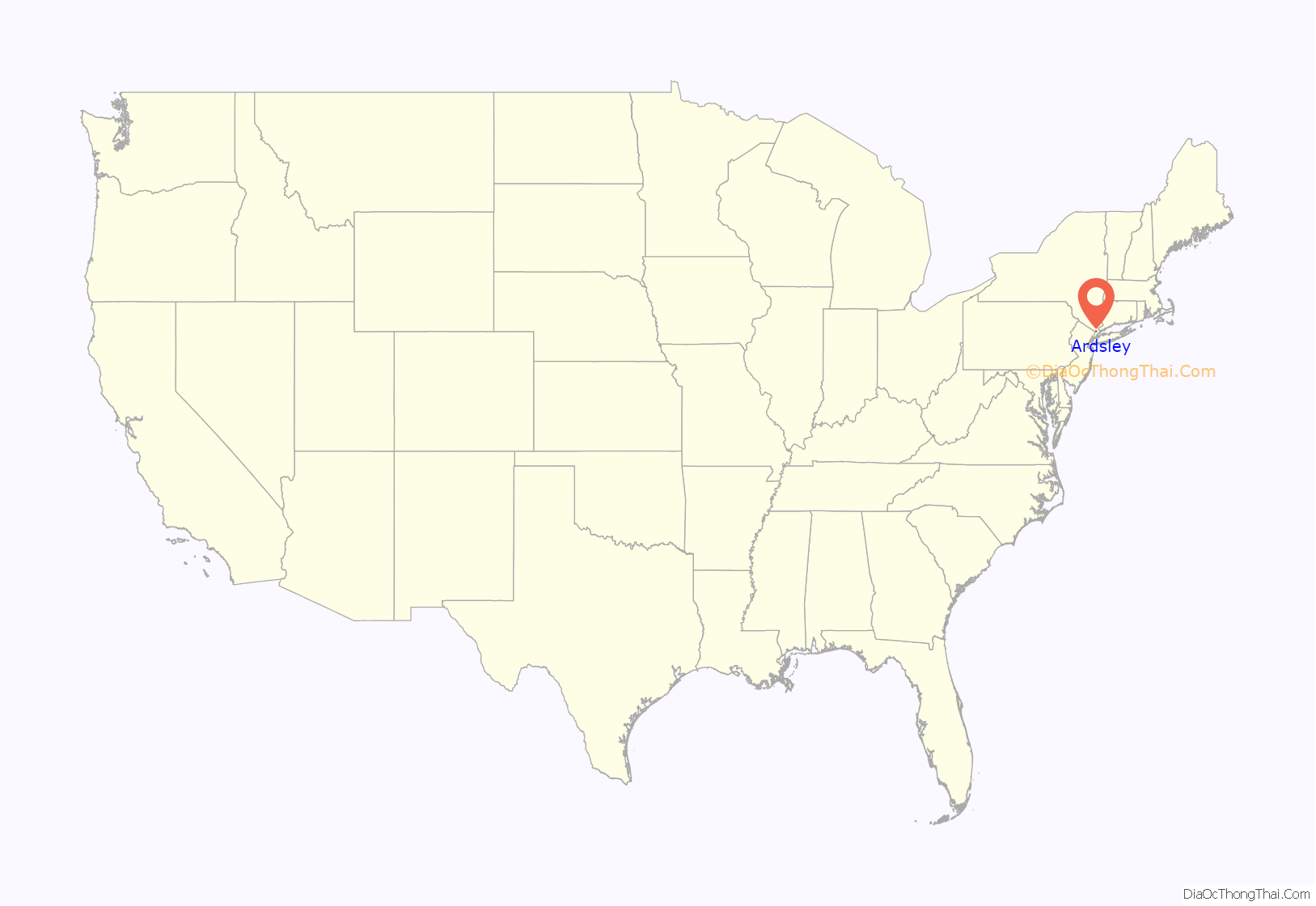
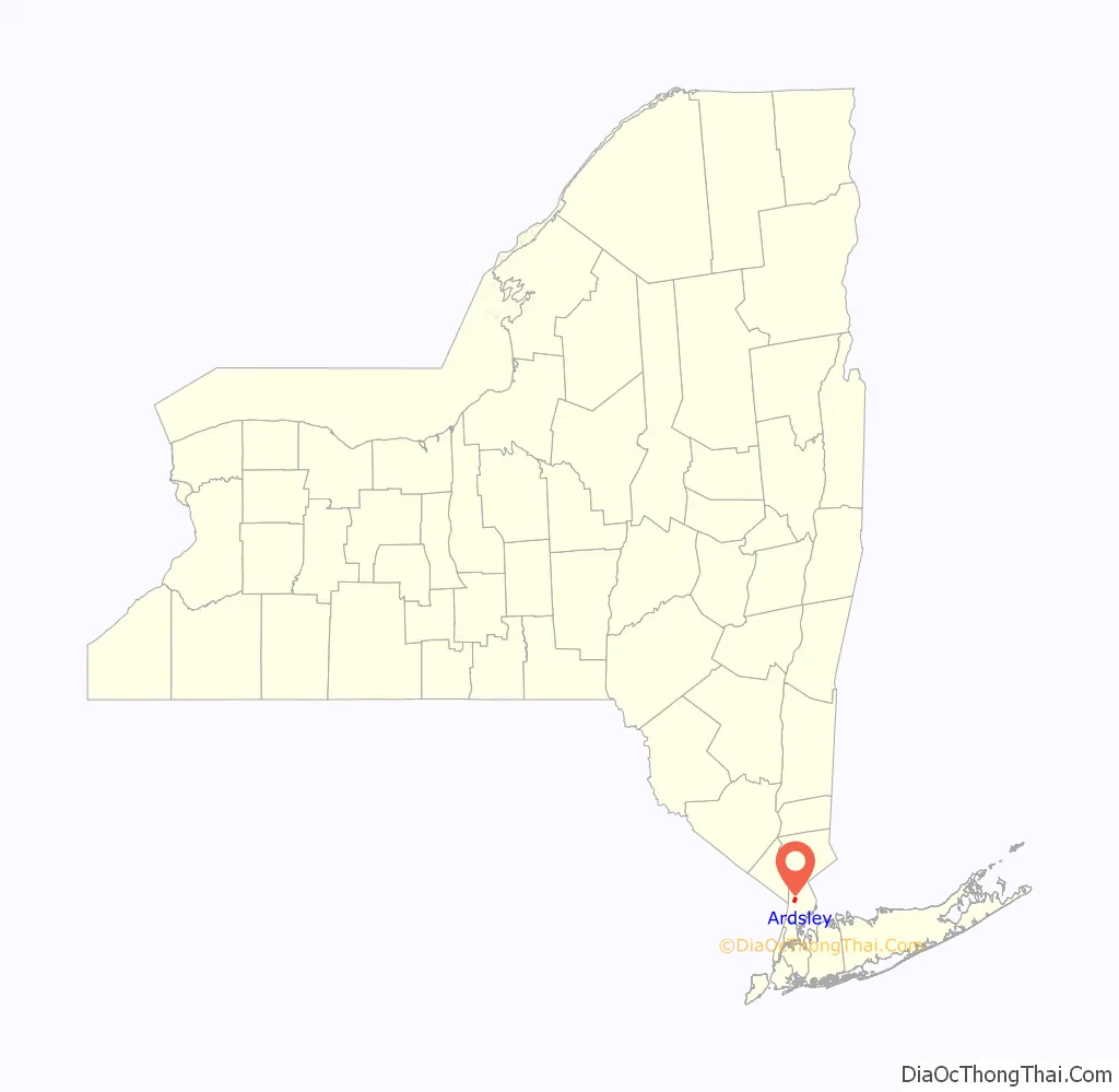
Ardsley location map. Where is Ardsley village?
History
Prior to European settlement Ardsley and its surrounding area was inhabited by the Wickquasgeck tribe, a band of the Wappinger, related to the Lenape (Delaware) tribes which dominated lower New York state and New Jersey.
After the Dutch came to the area, the land was part of the Bisightick tract of the van der Donck grant purchased by Frederick Philipse in 1682, first lord of Philipsburg Manor. In 1785 the state of New York confiscated the land from his Loyalist grandson, Frederick Philipse III, after he sided with the British in the American Revolution, and sold it to local farmers who had been tenants of the Phillipse family.
The village of Ashford was formed from some of these portions, named for the main road. Notable businesses included a blacksmith, and a sawmill and grist mill both situated upon the Saw Mill River. Three pickle factories were in operation by the Civil War, and in the 1880s the construction of the Putnam Railroad and New Croton Aqueduct led to a population boom which saw the installation of electric lighting and improved roads.
Due to the presence of an earlier Ashford Post Office in New York state, the town was forced to change its name in order to receive its own. The choice of “Ardsley” is attributed to Cyrus West Field, who owned 780 acres (3.2 km) of land lying between Broadway (Dobbs Ferry) and Sprain Brook (Greenburgh) named Ardsley Park. He had named his home Ardsley Park after the English birthplace of his immigrant ancestor, Zechariah Field (East Ardsley, West Riding of Yorkshire, England), who immigrated to the U.S. in 1629. The story told at one time is that Field agreed to use his influence to get the post office established, and in return the village would be renamed Ardsley. The first village postmaster was appointed in 1883.
Ardsley was incorporated as a town in 1896. Ardsley High School was established in 1912, with an addition in 1925. The town would continue to grow at a steady pace until a fire destroyed the village center in 1914. This led to the reconstruction of several buildings, and the establishment of a fire department in the former schoolhouse. Two population booms would follow, the first between the end of World War I and the beginning of the Great Depression, and the second following World War II. The Concord Road elementary school was built in 1953 with an addition in 1966. The town outgrew its original high school by the mid-1950s, resulting in the current facility being opened in 1957, and graduating its first class in 1958. The old school was converted into a middle school, until in 1971 the $5.5 million middle school was built.
The village was greatly changed during its second boom by the construction of the New York State Thruway in the late 1950s, which resulted in both the loss of the Ardsley station on the Putnam Division of the New York Central Railroad and the loss of much of the downtown business district.
Ardsley Road Map
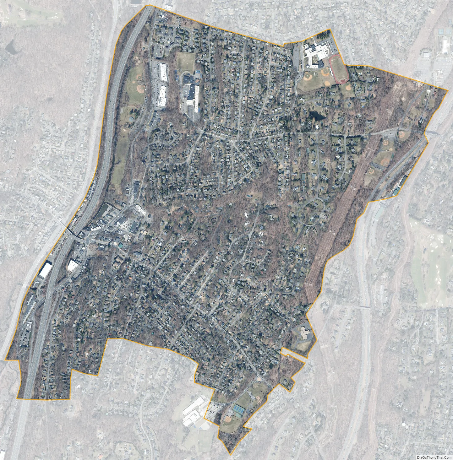
Ardsley city Satellite Map
Geography
According to the United States Census Bureau, the village has a total area of 1.3 square miles (3.4 km), all land.
The Saw Mill River and Sprain Brook are two waterways that run through Ardsley. Over the years recurrent flooding along the Saw Mill River has caused damage to residential structures, commercial businesses, and industries as well as municipal infrastructure in Ardsley and other towns along the river. Recent severe floods occurred in March and April 1980, April 1984, and September 1999. The Army Corps of Engineers has completed several construction projects to help minimize potential damage from future floods in downtown Ardsley and surrounding areas.
Climate
The climate in this area is characterized by hot, humid summers and generally mild to cool winters. According to the Köppen Climate Classification system, Ardsley has a humid subtropical climate, abbreviated “Cfa” on climate maps.
It receives approximately 28 inches of snow per year.
See also
Map of New York State and its subdivision:- Albany
- Allegany
- Bronx
- Broome
- Cattaraugus
- Cayuga
- Chautauqua
- Chemung
- Chenango
- Clinton
- Columbia
- Cortland
- Delaware
- Dutchess
- Erie
- Essex
- Franklin
- Fulton
- Genesee
- Greene
- Hamilton
- Herkimer
- Jefferson
- Kings
- Lake Ontario
- Lewis
- Livingston
- Madison
- Monroe
- Montgomery
- Nassau
- New York
- Niagara
- Oneida
- Onondaga
- Ontario
- Orange
- Orleans
- Oswego
- Otsego
- Putnam
- Queens
- Rensselaer
- Richmond
- Rockland
- Saint Lawrence
- Saratoga
- Schenectady
- Schoharie
- Schuyler
- Seneca
- Steuben
- Suffolk
- Sullivan
- Tioga
- Tompkins
- Ulster
- Warren
- Washington
- Wayne
- Westchester
- Wyoming
- Yates
- Alabama
- Alaska
- Arizona
- Arkansas
- California
- Colorado
- Connecticut
- Delaware
- District of Columbia
- Florida
- Georgia
- Hawaii
- Idaho
- Illinois
- Indiana
- Iowa
- Kansas
- Kentucky
- Louisiana
- Maine
- Maryland
- Massachusetts
- Michigan
- Minnesota
- Mississippi
- Missouri
- Montana
- Nebraska
- Nevada
- New Hampshire
- New Jersey
- New Mexico
- New York
- North Carolina
- North Dakota
- Ohio
- Oklahoma
- Oregon
- Pennsylvania
- Rhode Island
- South Carolina
- South Dakota
- Tennessee
- Texas
- Utah
- Vermont
- Virginia
- Washington
- West Virginia
- Wisconsin
- Wyoming


