Babylon is a village in Suffolk County, New York. The population was 12,166 at the 2010 census. It is located approximately 25 miles (40 km) from New York City at the Queens border and approximately 33 miles (53 km) from Manhattan. Its official name is The Incorporated Village of Babylon. It is commonly referred to as Babylon ... Read more
New York Cities and Places
Avon is a village in the town of Avon, Livingston County, New York, United States. The village population was 3,394 at the 2010 census, out of 7,146 people in the entire town. The village and town are named after the River Avon in England. Avon village overview: Name: Avon village LSAD Code: 47 LSAD Description: ... Read more
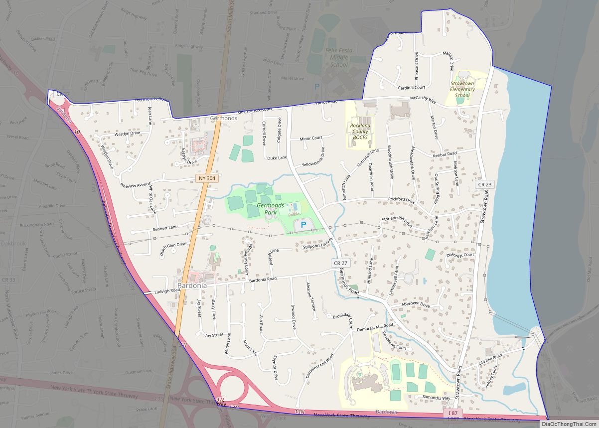
Bardonia is a hamlet and census-designated place in the town of Clarkstown, Rockland County, New York, United States. It is located northeast of Nanuet, northwest of West Nyack, south of New City, and west of Valley Cottage. The population was 4,108 at the 2010 census. Bardonia is north of the New York State Thruway. Bardonia ... Read more
Bayville (sometimes also referred to as Pine Island) is a village located in the Town of Oyster Bay in Nassau County, on the North Shore of Long Island, in New York, United States. The population was 6,669 at the 2010 census. The Incorporated Village of Bayville is located on the Long Island Sound facing Greenwich, ... Read more
Bayport is a hamlet and census-designated place (CDP) in the Town of Islip, Suffolk County, New York, United States, on Long Island. The population was 8,609 at the 2020 census. Bayport is in the southeast part of the Town of Islip. Bayport CDP overview: Name: Bayport CDP LSAD Code: 57 LSAD Description: CDP (suffix) State: ... Read more
Bay Shore is a hamlet and census-designated place (CDP) in the Town of Islip, New York, United States. It is situated on the South Shore of Long Island, adjoining the Great South Bay. The population of the CDP was 29,244 at the time of the 2020 census. Bay Shore CDP overview: Name: Bay Shore CDP ... Read more
Bay Park is a hamlet and census-designated place (CDP) in the Town of Hempstead in Nassau County, on the South Shore of Long Island, in New York, United States. The population was 2,212 at the 2010 census. Bay Park CDP overview: Name: Bay Park CDP LSAD Code: 57 LSAD Description: CDP (suffix) State: New York ... Read more
Baxter Estates is a village in Nassau County, on the North Shore of Long Island, in New York, United States. It is considered part of the Greater Port Washington area, which is anchored by Port Washington. The population was 999 at the 2010 census. The Incorporated Village of Baxter Estates is located on the Cow ... Read more
Bath is a village in Steuben County, New York, United States. The population was 5,786 at the 2010 census. Bath is the county seat of Steuben County. The community was named either for the English city of Bath, Somerset, or for Lady Laura Pulteney, 1st Countess of Bath and daughter of Sir William Pulteney, one ... Read more
Batavia is a city in and the county seat of Genesee County, New York, United States. It is near the center of the county, surrounded by the Town of Batavia, which is a separate municipality. Batavia’s population as of the 2020 census was 15,600. The name Batavia is Latin for the Betuwe region of the ... Read more
Barnum Island is a hamlet and census-designated place (CDP) in Nassau County, New York, United States. The population was 2,590 at the 2020 census. It occupies the eastern portion of an island situated between Long Island and Long Beach. That island, previously known in its entirety as Hog Island, consists entirely of the communities of ... Read more
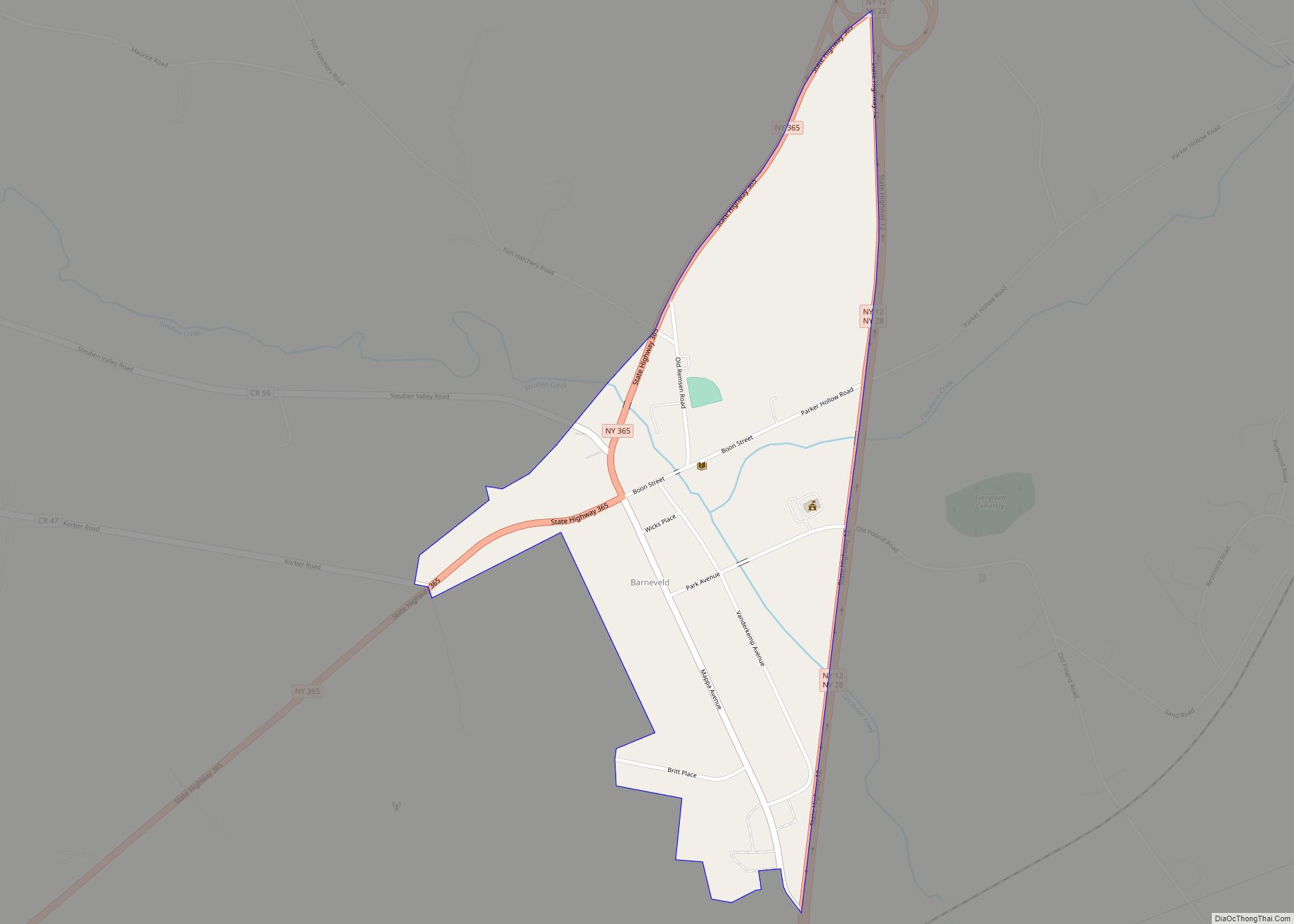
Barneveld is a hamlet (and census-designated place) located within the Town of Trenton in Oneida County, New York, United States. The population was 284 at the 2010 census, when it was an incorporated village. The name is derived from the name of the Dutch statesman Johan van Oldenbarnevelt (1547–1619). The hamlet is in the eastern ... Read more


