Bardonia is a hamlet and census-designated place in the town of Clarkstown, Rockland County, New York, United States. It is located northeast of Nanuet, northwest of West Nyack, south of New City, and west of Valley Cottage. The population was 4,108 at the 2010 census.
Bardonia is north of the New York State Thruway.
Bardonia is named for the Bardon brothers – John and the twins Phillip and Conrad – who came from Bavaria in 1849 and opened several businesses. The Bardonia railroad station, which no longer exists, was opened there in 1875.
| Name: | Bardonia CDP |
|---|---|
| LSAD Code: | 57 |
| LSAD Description: | CDP (suffix) |
| State: | New York |
| County: | Rockland County |
| Elevation: | 295 ft (90 m) |
| Total Area: | 2.76 sq mi (7.14 km²) |
| Land Area: | 2.56 sq mi (6.64 km²) |
| Water Area: | 0.20 sq mi (0.50 km²) |
| Total Population: | 4,249 |
| Population Density: | 1,658.47/sq mi (640.27/km²) |
| ZIP code: | 10954 |
| Area code: | 845 |
| FIPS code: | 3604396 |
| GNISfeature ID: | 0942996 |
Online Interactive Map
Click on ![]() to view map in "full screen" mode.
to view map in "full screen" mode.
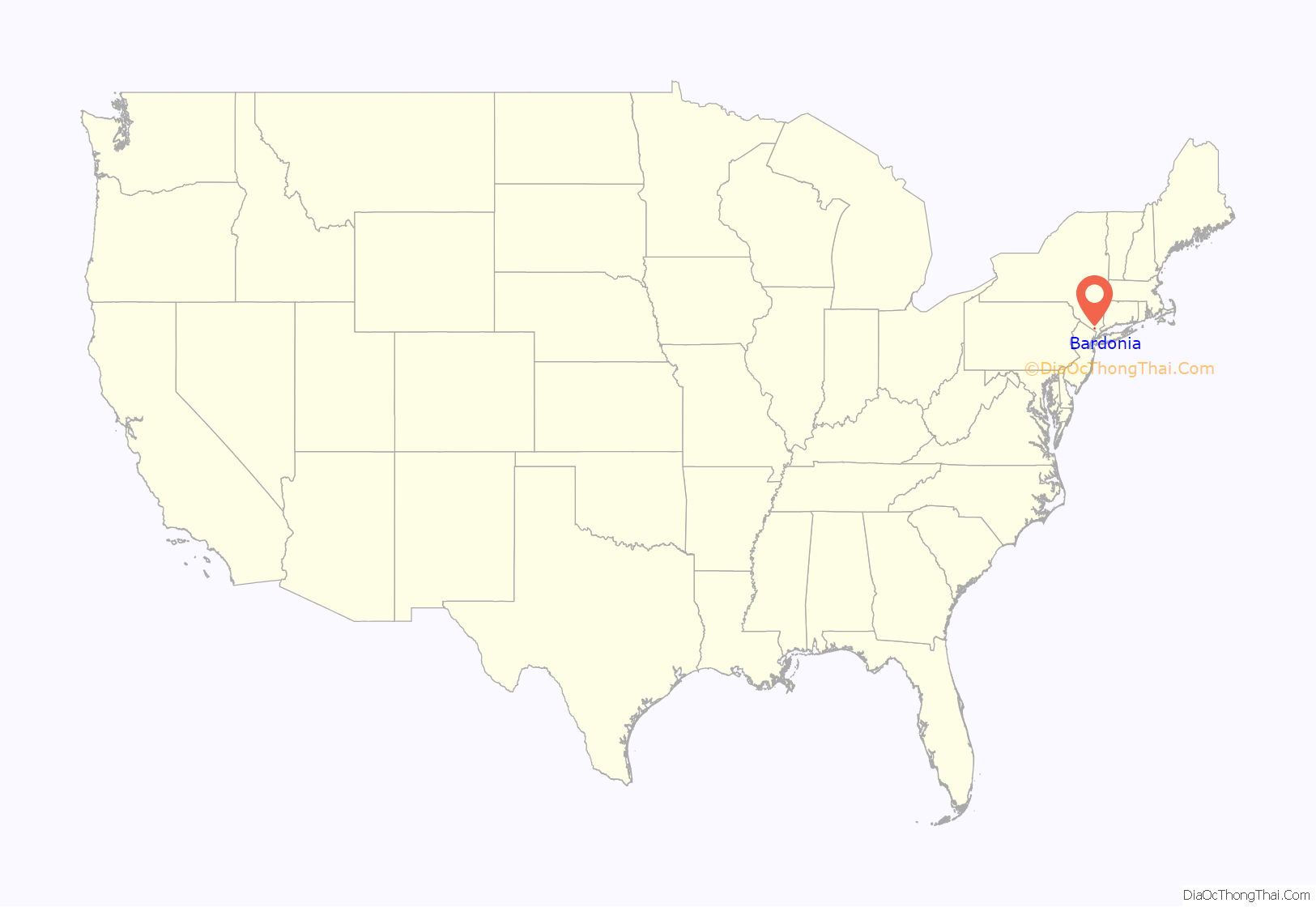
Bardonia location map. Where is Bardonia CDP?
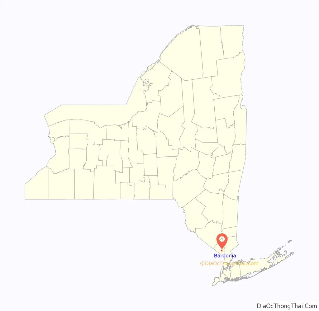
Bardonia Road Map

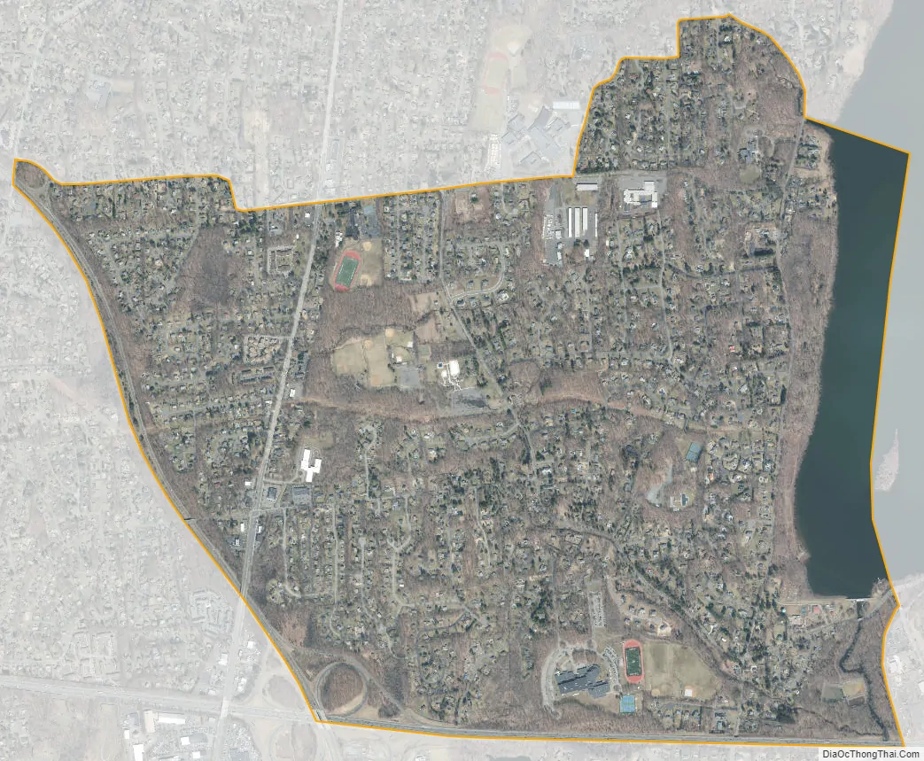
Bardonia city Satellite Map
Geography
Bardonia is located at 41°6′51″N 73°58′59″W / 41.11417°N 73.98306°W / 41.11417; -73.98306 (41.114128, -73.983042).
According to the United States Census Bureau, the CDP has a total area of 2.9 square miles (7.5 km), of which 2.6 square miles (6.7 km) is land and 0.3 square miles (0.8 km) (11.42%) is water.
See also
Map of New York State and its subdivision:- Albany
- Allegany
- Bronx
- Broome
- Cattaraugus
- Cayuga
- Chautauqua
- Chemung
- Chenango
- Clinton
- Columbia
- Cortland
- Delaware
- Dutchess
- Erie
- Essex
- Franklin
- Fulton
- Genesee
- Greene
- Hamilton
- Herkimer
- Jefferson
- Kings
- Lake Ontario
- Lewis
- Livingston
- Madison
- Monroe
- Montgomery
- Nassau
- New York
- Niagara
- Oneida
- Onondaga
- Ontario
- Orange
- Orleans
- Oswego
- Otsego
- Putnam
- Queens
- Rensselaer
- Richmond
- Rockland
- Saint Lawrence
- Saratoga
- Schenectady
- Schoharie
- Schuyler
- Seneca
- Steuben
- Suffolk
- Sullivan
- Tioga
- Tompkins
- Ulster
- Warren
- Washington
- Wayne
- Westchester
- Wyoming
- Yates
- Alabama
- Alaska
- Arizona
- Arkansas
- California
- Colorado
- Connecticut
- Delaware
- District of Columbia
- Florida
- Georgia
- Hawaii
- Idaho
- Illinois
- Indiana
- Iowa
- Kansas
- Kentucky
- Louisiana
- Maine
- Maryland
- Massachusetts
- Michigan
- Minnesota
- Mississippi
- Missouri
- Montana
- Nebraska
- Nevada
- New Hampshire
- New Jersey
- New Mexico
- New York
- North Carolina
- North Dakota
- Ohio
- Oklahoma
- Oregon
- Pennsylvania
- Rhode Island
- South Carolina
- South Dakota
- Tennessee
- Texas
- Utah
- Vermont
- Virginia
- Washington
- West Virginia
- Wisconsin
- Wyoming


