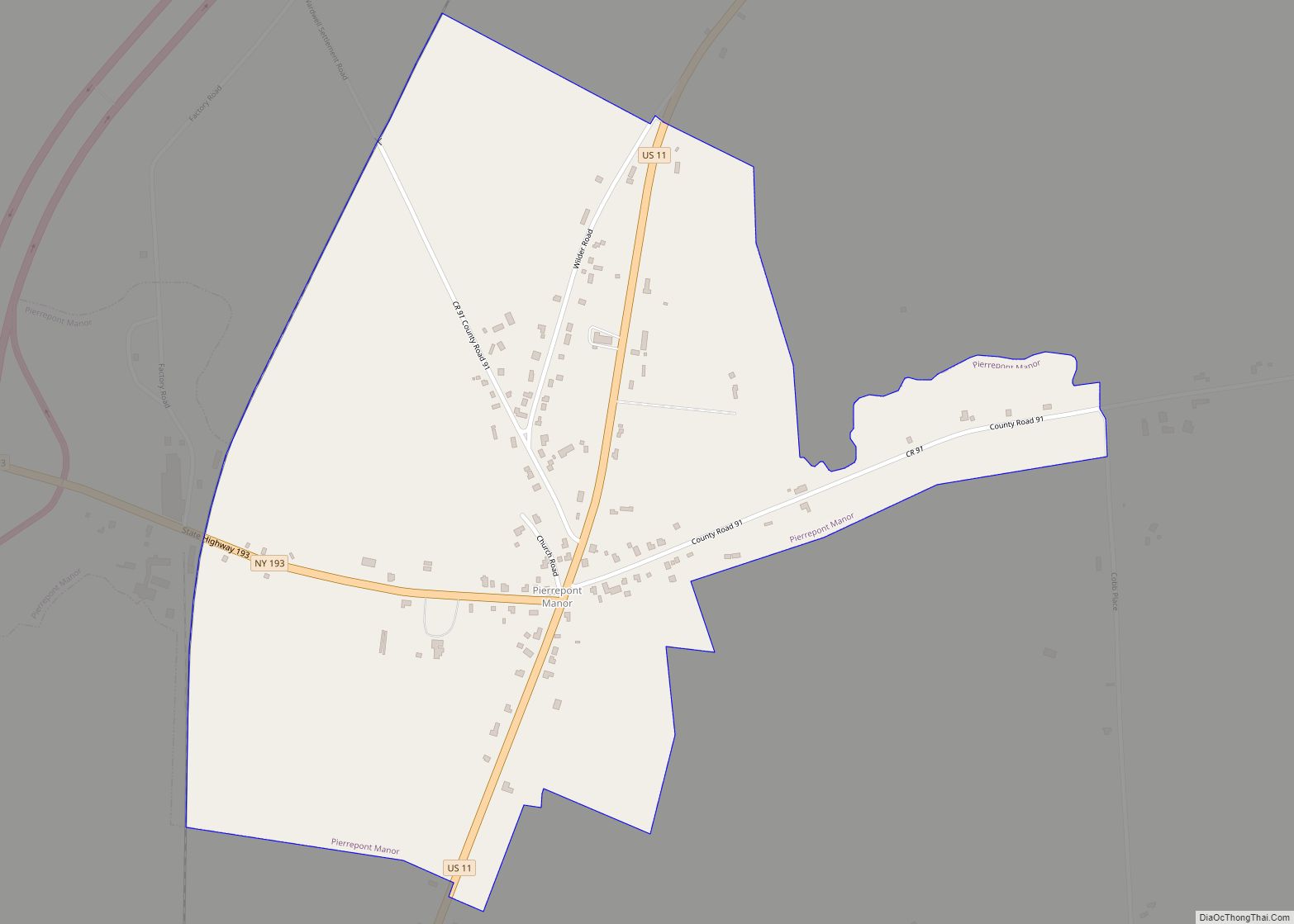
Pierrepont Manor is a hamlet and census-designated place (CDP) in Jefferson County, New York, United States. Its population was 228 as of the 2010 census. Pierrepont Manor has a post office with ZIP code 13674, which opened on November 29, 1843. U.S. Route 11 and New York State Route 193 intersect in the community; it ... Read more
New York Cities and Places
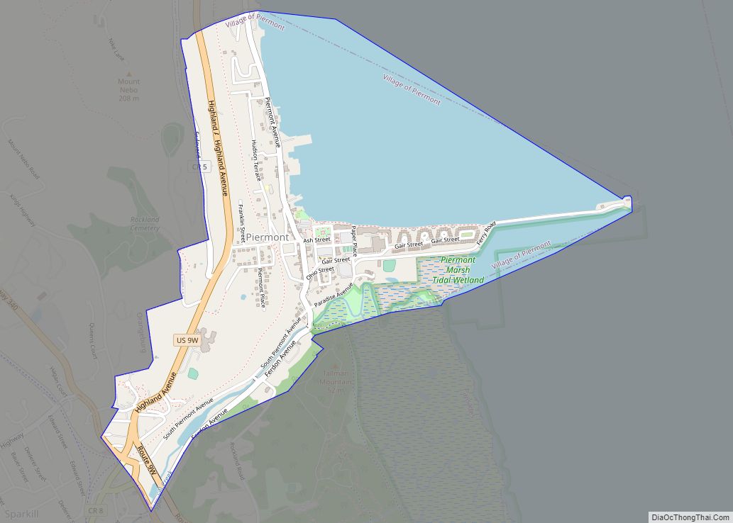
Piermont is a village incorporated in 1847 in Rockland County, New York, United States. Piermont is in the town of Orangetown, located north of the hamlet of Palisades, east of Sparkill, and south of Grand View-on-Hudson, on the west bank of the Hudson River. The population was 2,510 at the 2010 census. Woody Allen set ... Read more
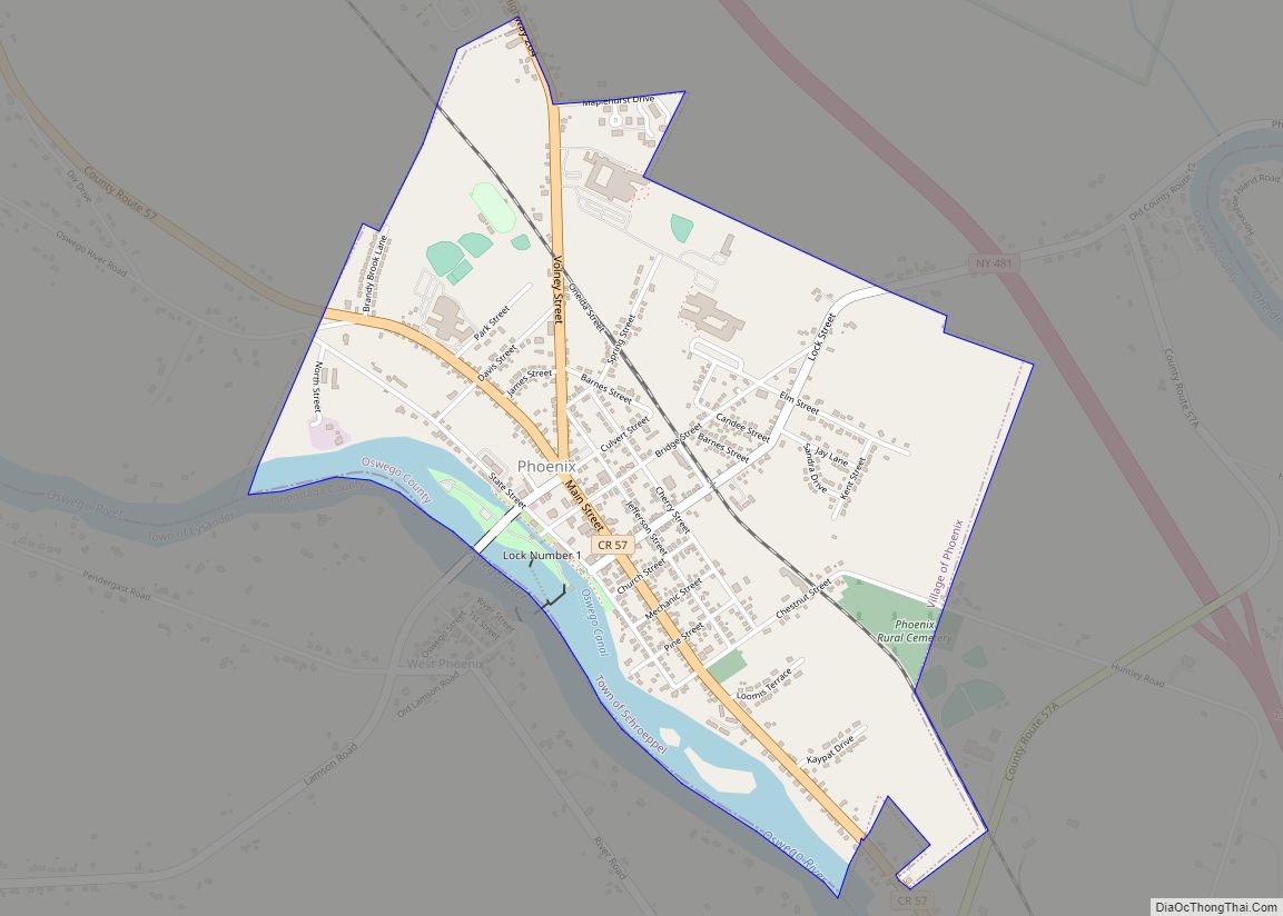
Phoenix is a village in Oswego County, New York, United States. The population was 2,382 at the 2010 census. The name is derived from Alexander Phoenix. The village of Phoenix lies in the Lake Ontario lake-effect snow belt, with seasonal snow totals regularly exceeding 200 in (510 cm). Phoenix lies in the southwest part of the town ... Read more
Phoenicia is a hamlet (and census-designated place) of Shandaken in Ulster County, New York, United States. The population was 268 at the 2020 census, making it the second highest populated community in the town. The village center is located just off Route 28 at its junction with Route 214 and is nestled at the base ... Read more
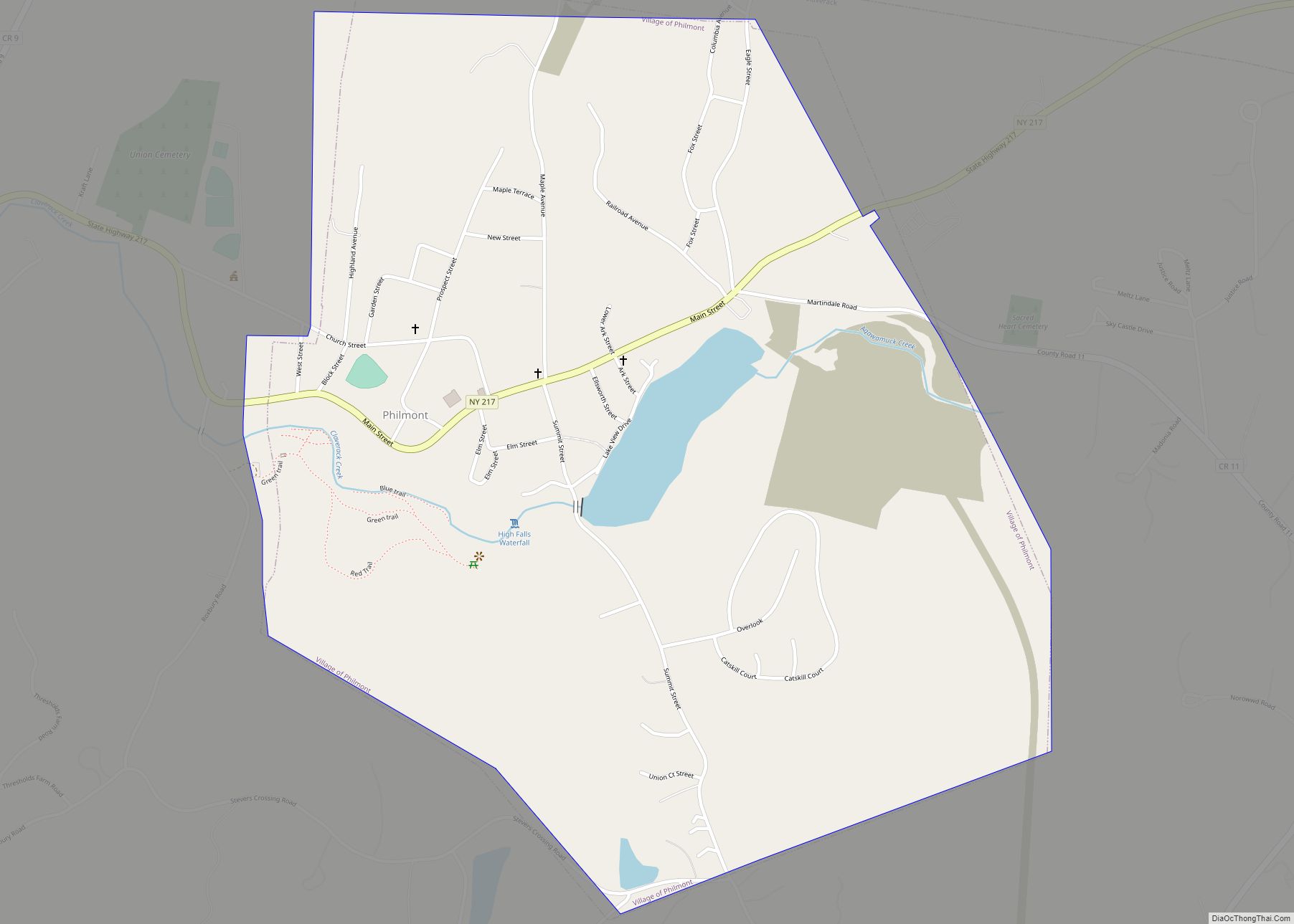
Philmont is a village in Columbia County, New York, United States. The population was 1,377 at the 2020 census. The village is located in the northeastern part of the town of Claverack on New York State Route 217. Philmont village overview: Name: Philmont village LSAD Code: 47 LSAD Description: village (suffix) State: New York County: ... Read more
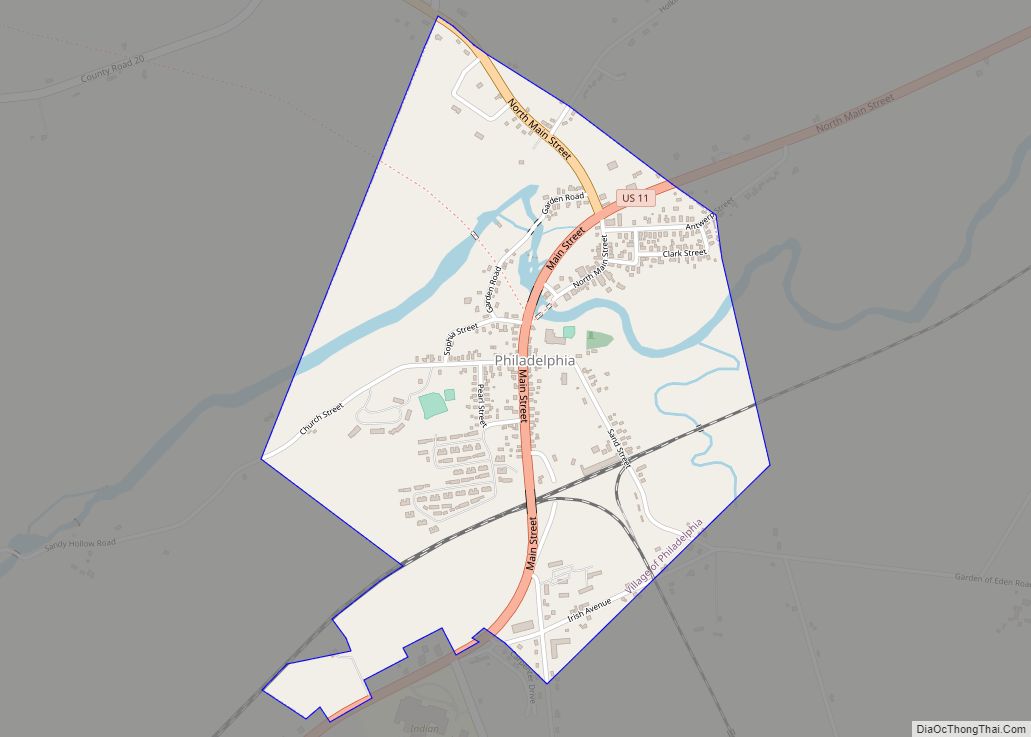
Philadelphia is a village in Jefferson County, New York, United States. The population was 1,252 at the 2010 census, down from 1,519 in 2000. The village is in the town of Philadelphia and is northeast of Watertown. It is also just northwest of Fort Drum. The village contains a “Quaker Cemetery”, and its summer festival ... Read more
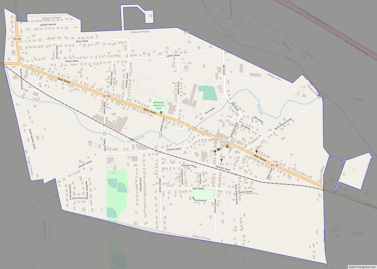
Phelps is a village in Ontario County, New York, United States. The population was 1,989 at the 2010 census. The village is named after an original proprietor, Oliver Phelps. The Village of Phelps is near the center of the Town of Phelps and is north of Geneva. A Sauerkraut Festival is held every August. Phelps ... Read more
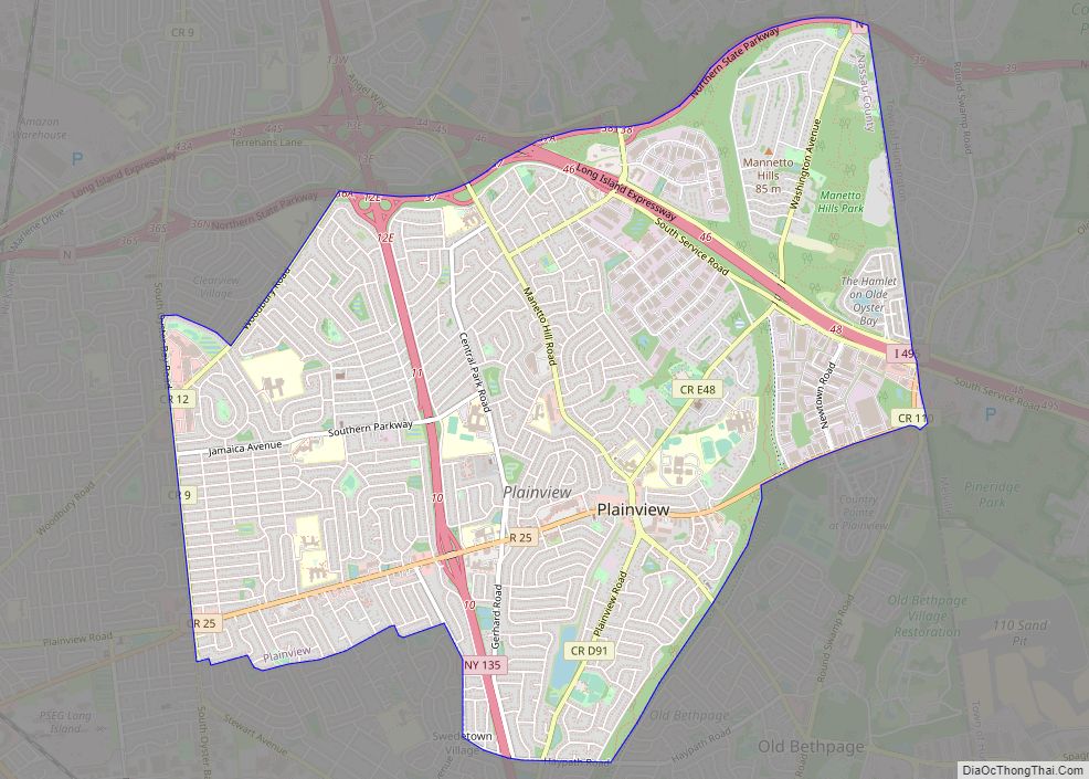
Plainview is a hamlet and census-designated place (CDP) located near the North Shore of Long Island in the town of Oyster Bay in Nassau County, New York, United States. The population of the CDP as of 2020 was 27,100. The Plainview post office has the ZIP code 11803. Plainview and its neighboring hamlet, Old Bethpage, ... Read more
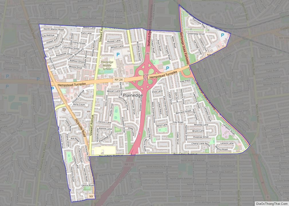
Plainedge is a hamlet and census-designated place (CDP) in the Town of Oyster Bay in Nassau County, on Long Island, in New York, United States. The population was 8,817 at the 2010 census. The area was once known as Turkeyville. Plainedge CDP overview: Name: Plainedge CDP LSAD Code: 57 LSAD Description: CDP (suffix) State: New ... Read more
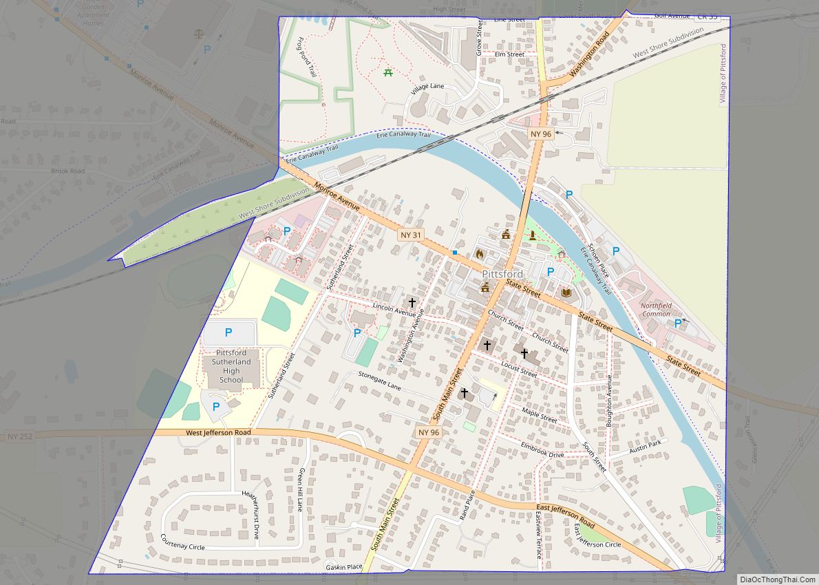
Pittsford is a village in Monroe County, New York, United States. The population was 1,355 at the 2010 census. It is named after Pittsford, Vermont, the native town of a founding father. The Village of Pittsford is the oldest village in New York, incorporated in 1827. The village, an Erie Canal community, is in the ... Read more
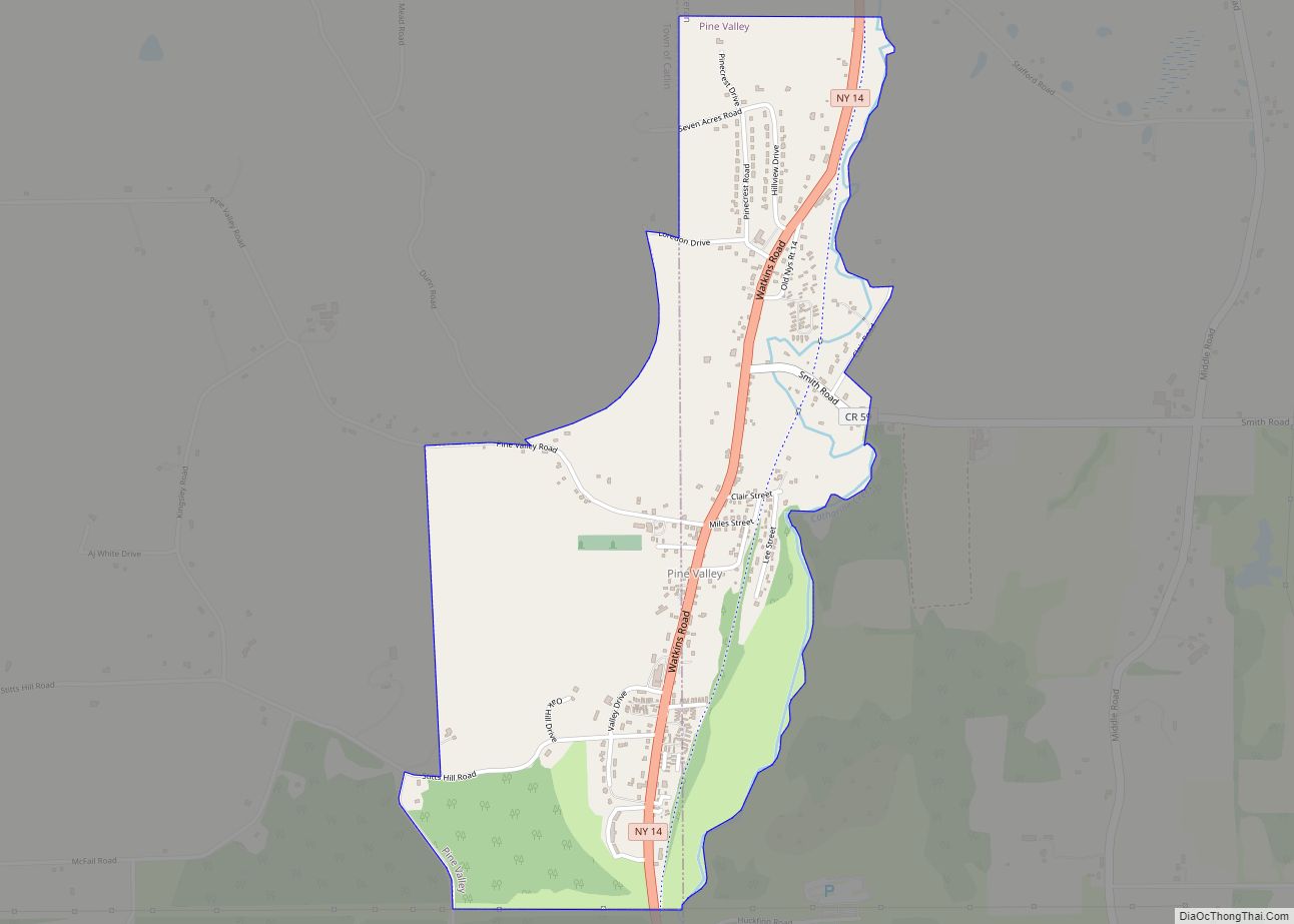
Pine Valley is a hamlet and census-designated place in the towns of Catlin and Veteran in Chemung County, New York, United States. The population was 813 at the 2010 census. Pine Valley CDP overview: Name: Pine Valley CDP LSAD Code: 57 LSAD Description: CDP (suffix) State: New York County: Chemung County Elevation: 930 ft (280 m) Total ... Read more
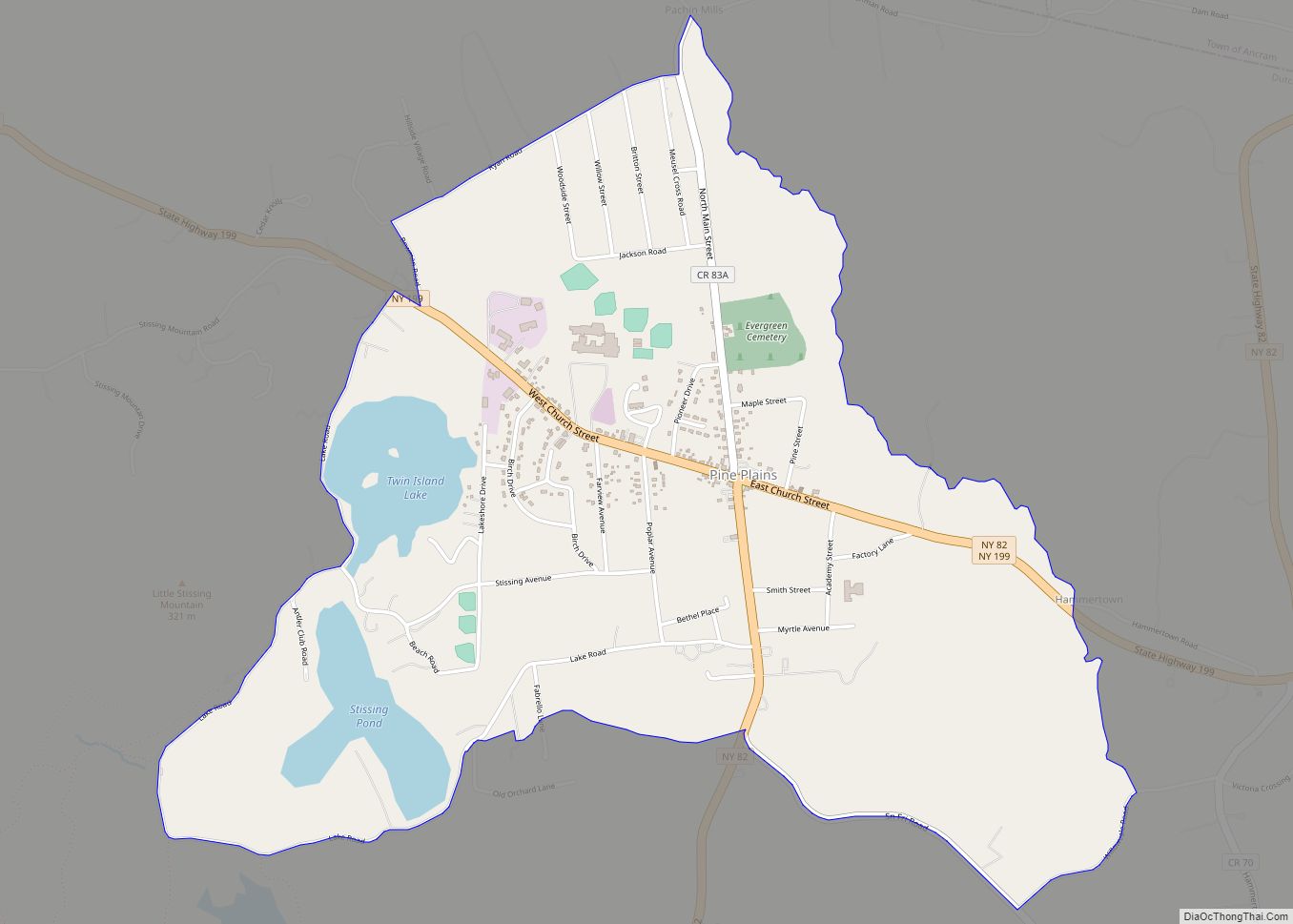
Pine Plains is a hamlet and census-designated place (CDP) in Dutchess County, New York, United States. The population was 1,142 at the 2020 census. It is part of the Poughkeepsie–Newburgh–Middletown, NY Metropolitan Statistical Area as well as the larger New York–Newark–Bridgeport, NY-NJ–CT–PA Combined Statistical Area. The community of Pine Plains is in the town of ... Read more
