Plainview is a hamlet and census-designated place (CDP) located near the North Shore of Long Island in the town of Oyster Bay in Nassau County, New York, United States. The population of the CDP as of 2020 was 27,100. The Plainview post office has the ZIP code 11803.
Plainview and its neighboring hamlet, Old Bethpage, share a school system, library, fire department, and water district. Law enforcement for the communities is provided by the Nassau County Police Department’s Second Precinct.
| Name: | Plainview CDP |
|---|---|
| LSAD Code: | 57 |
| LSAD Description: | CDP (suffix) |
| State: | New York |
| County: | Nassau County |
| Elevation: | 151 ft (46 m) |
| Total Area: | 5.74 sq mi (14.85 km²) |
| Land Area: | 5.72 sq mi (14.83 km²) |
| Water Area: | 0.01 sq mi (0.03 km²) |
| Total Population: | 27,100 |
| Population Density: | 4,734.45/sq mi (1,827.98/km²) |
| ZIP code: | 11803 |
| Area code: | 516 |
| FIPS code: | 3658442 |
| GNISfeature ID: | 0960664 |
Online Interactive Map
Click on ![]() to view map in "full screen" mode.
to view map in "full screen" mode.
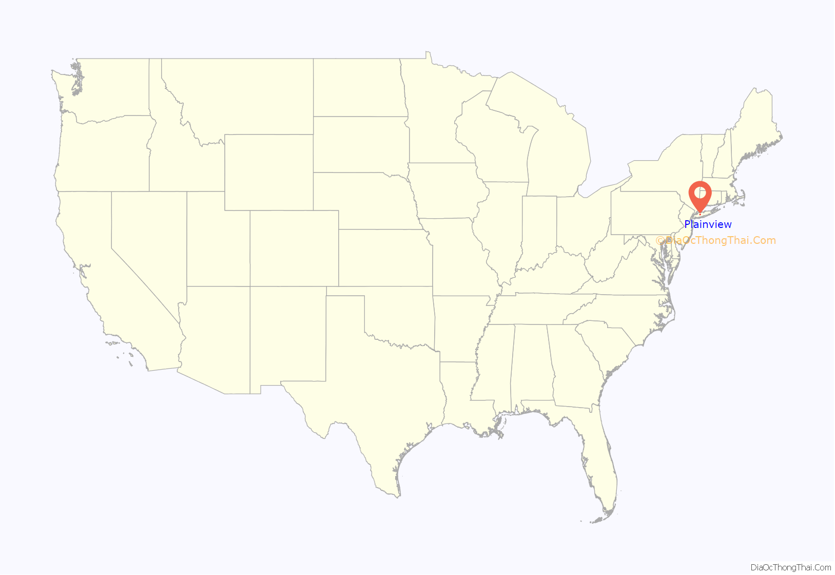
Plainview location map. Where is Plainview CDP?

History
Plainview’s origins date to 1648, when Robert Williams, a settler from Wales, bought land in the area. The land was considered desirable for farming because of a small pond named the Moscopas by local Native Americans, meaning “hole of dirt and water”. The remainder of the land in the area was purchased by Thomas Powell in 1695 as part of the Bethpage Purchase. The name “Mannatto Hill” had already appeared on the 1695 deed of the Bethpage Purchase, and the settlement came to be called “Manetto Hill”. Manitou was the Native American word either for “god” or for “spirit”.
The 1837 arrival of the Long Island Rail Road to nearby Hicksville brought a boom to local farming. In 1885, residents of Manetto Hill petitioned the United States Postal Service for a local post office, but were turned down because, according to several accounts, a similar name was already in use upstate. The hamlet was then named “Plainview”, for the view of the Hempstead Plains from the top of the Manetto Hills.
Plainview remained a farming community, famous for growing cucumbers for the huge Heinz pickle factories located in nearby Farmingdale and Hicksville. In the early 1900s blight destroyed the cucumber crop and many farmers switched to potatoes. After World War II, a potato blight combined with the desire of many returning GIs to leave New York City for the more rural Long Island, convinced many farmers to sell their property, leading to massive development in the area, giving rise to so-called suburban sprawl. Between 1950 and 1960, the hamlet grew from a population of 1,155 to more than 35,000. Most of the available land was developed during this period or otherwise designated as parkland. While overall development declined it did continue sporadically as smaller remaining parcels of land were also developed. In recent years, some of the few large remaining parcels have given way to gated communities, which are in contrast to most housing in the area. Some of these developments include “The Hamlet on Olde Oyster Bay” and “The Seasons at Plainview”, a residential community focused on over age 55 residents and first time home buyers.
Plainview Road Map

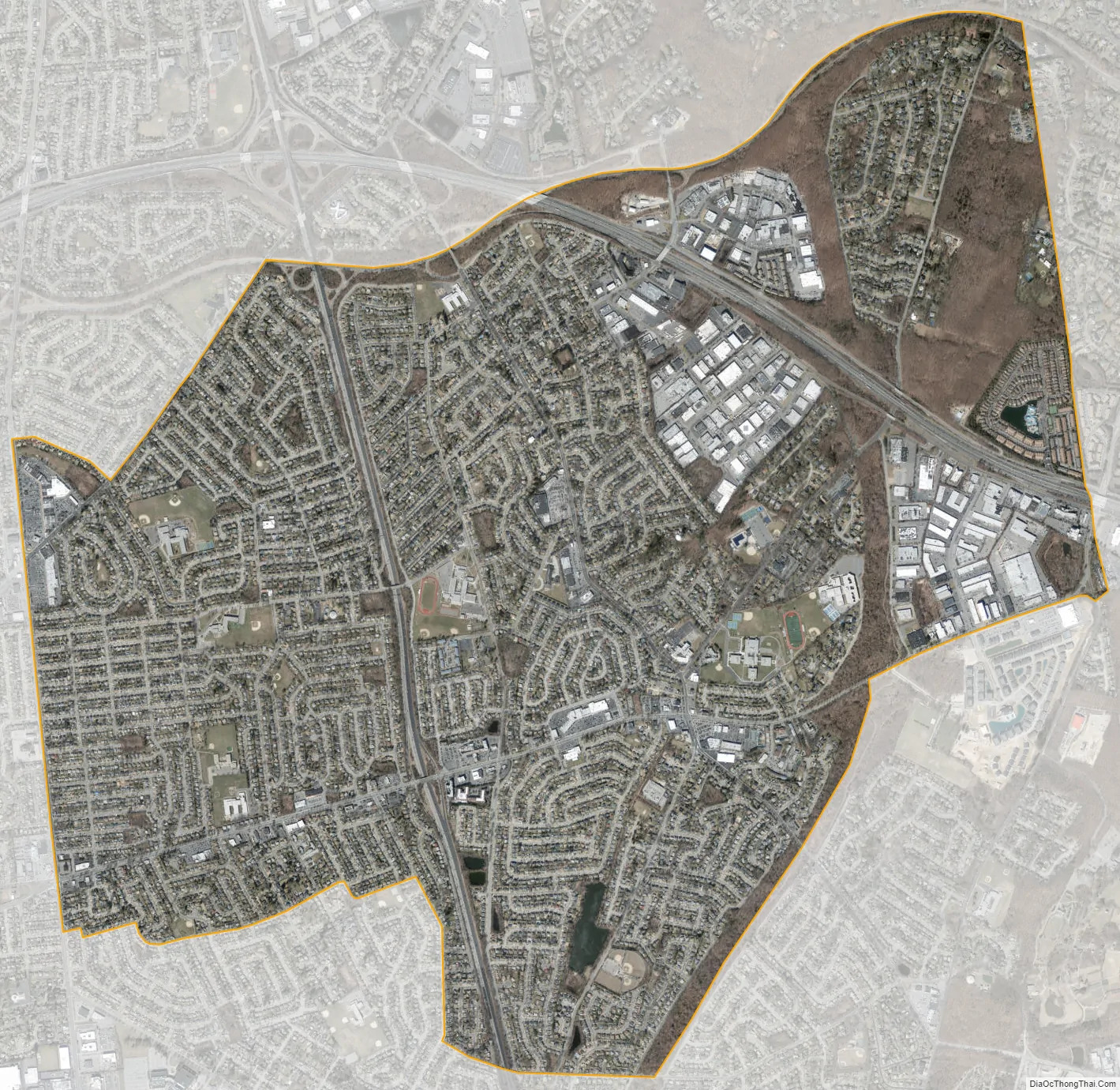
Plainview city Satellite Map
Geography
Plainview is located at 40°46′48″N 73°28′46″W / 40.78000°N 73.47944°W / 40.78000; -73.47944 (40.779911, -73.479483).
According to the United States Census Bureau, the CDP has a total area of 5.7 square miles (15 km). Plainview is on the Nassau County side of the border with Suffolk County. On the Nassau side it borders the hamlets of Bethpage, Hicksville, Old Bethpage, Syosset, and Woodbury. On the Suffolk side, its primary border is with Melville, but also touches West Hills.
See also
Map of New York State and its subdivision:- Albany
- Allegany
- Bronx
- Broome
- Cattaraugus
- Cayuga
- Chautauqua
- Chemung
- Chenango
- Clinton
- Columbia
- Cortland
- Delaware
- Dutchess
- Erie
- Essex
- Franklin
- Fulton
- Genesee
- Greene
- Hamilton
- Herkimer
- Jefferson
- Kings
- Lake Ontario
- Lewis
- Livingston
- Madison
- Monroe
- Montgomery
- Nassau
- New York
- Niagara
- Oneida
- Onondaga
- Ontario
- Orange
- Orleans
- Oswego
- Otsego
- Putnam
- Queens
- Rensselaer
- Richmond
- Rockland
- Saint Lawrence
- Saratoga
- Schenectady
- Schoharie
- Schuyler
- Seneca
- Steuben
- Suffolk
- Sullivan
- Tioga
- Tompkins
- Ulster
- Warren
- Washington
- Wayne
- Westchester
- Wyoming
- Yates
- Alabama
- Alaska
- Arizona
- Arkansas
- California
- Colorado
- Connecticut
- Delaware
- District of Columbia
- Florida
- Georgia
- Hawaii
- Idaho
- Illinois
- Indiana
- Iowa
- Kansas
- Kentucky
- Louisiana
- Maine
- Maryland
- Massachusetts
- Michigan
- Minnesota
- Mississippi
- Missouri
- Montana
- Nebraska
- Nevada
- New Hampshire
- New Jersey
- New Mexico
- New York
- North Carolina
- North Dakota
- Ohio
- Oklahoma
- Oregon
- Pennsylvania
- Rhode Island
- South Carolina
- South Dakota
- Tennessee
- Texas
- Utah
- Vermont
- Virginia
- Washington
- West Virginia
- Wisconsin
- Wyoming


