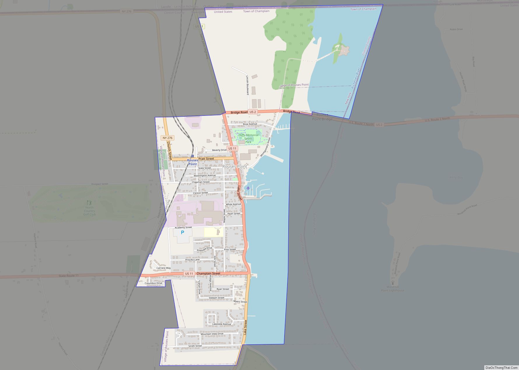
Rouses Point is a village in Clinton County, New York, United States, along the 45th parallel. The population was 2,209 at the 2010 census. The village is named after Jacques Rouse, a French Canadian soldier who fought alongside the Americans during their war for independence. The village is on the western shore of Lake Champlain ... Read more
New York Cities and Places
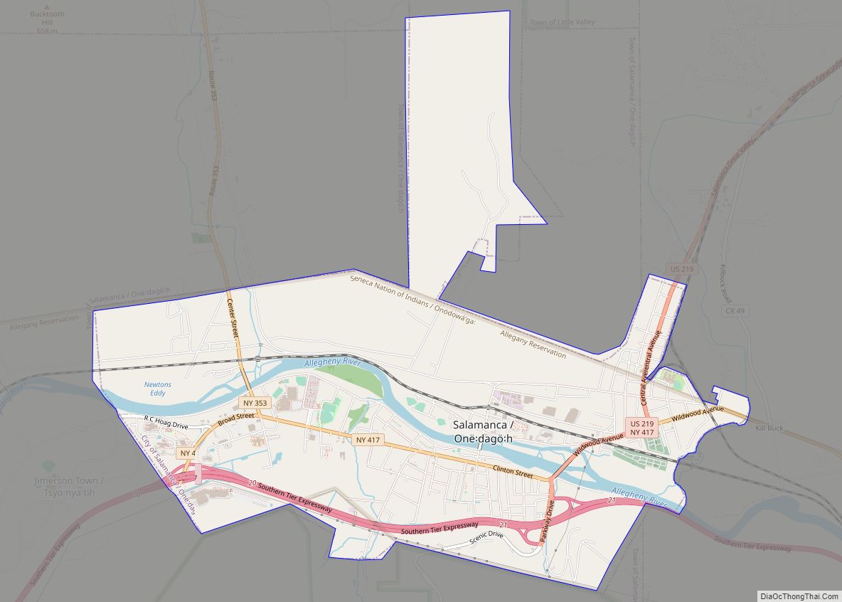
Salamanca (Seneca: Onë:dagö:h) is a city in Cattaraugus County, New York, United States, inside the Allegany Indian Reservation, one of two governed by the Seneca Nation of New York. The population was 5,929 at the 2020 census. It was named after José de Salamanca, a Spanish nobleman and cabinet minister of the mid-19th century. Salamanca ... Read more
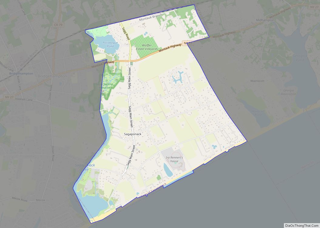
Sagaponack /sæɡəˈpɒnək/ is a village in the Town of Southampton in Suffolk County, on the East End of Long Island, in New York, United States. The population of the village was 770 at the 2020 census. Sagaponack village overview: Name: Sagaponack village LSAD Code: 47 LSAD Description: village (suffix) State: New York County: Suffolk County ... Read more
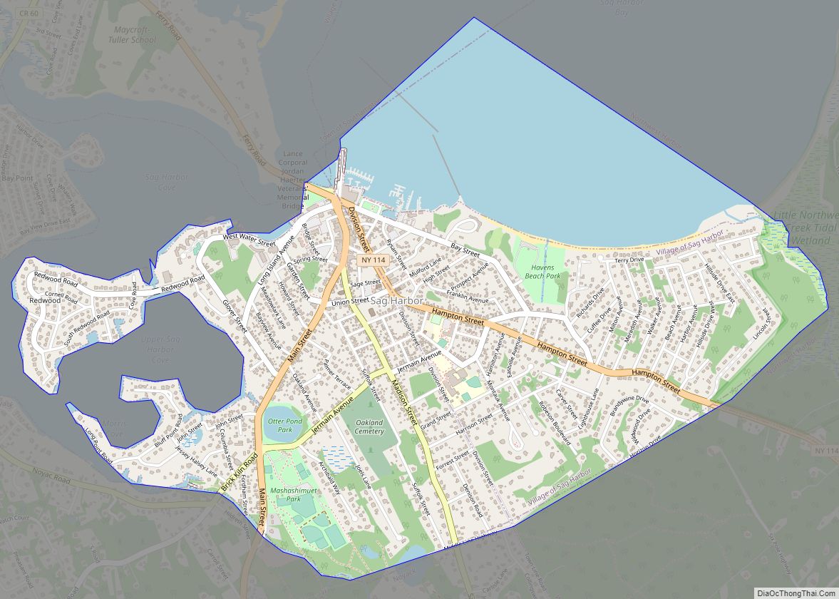
Sag Harbor is an incorporated village in Suffolk County, New York, United States, in the towns of Southampton and East Hampton on eastern Long Island. The village developed as a working port on Gardiner’s Bay. The population was 2,772 at the 2020 census. The entire business district is listed as the historic Sag Harbor Village ... Read more
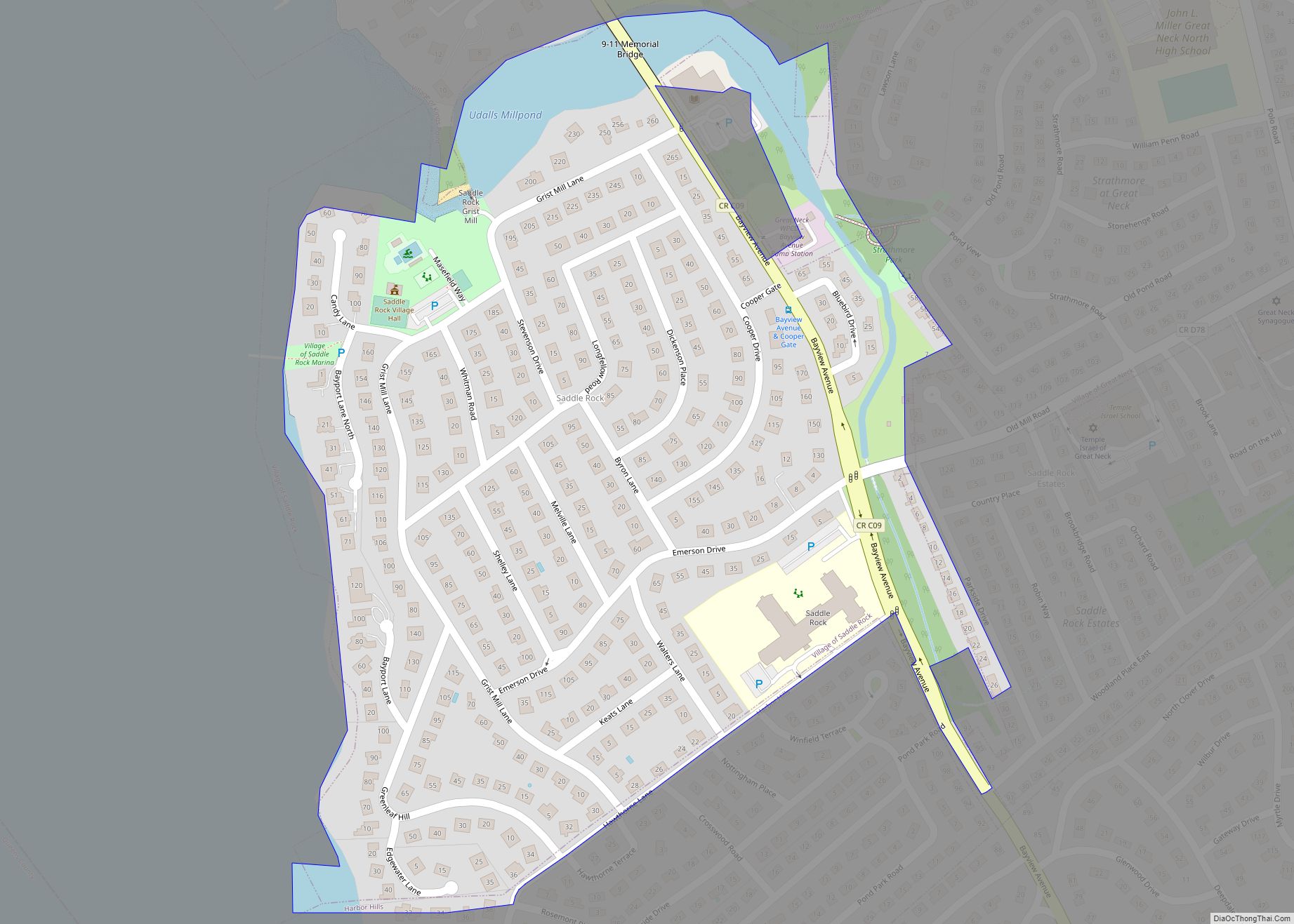
Saddle Rock is a village on the Great Neck Peninsula in the Town of North Hempstead, in Nassau County, on the North Shore of Long Island, in New York, United States. The population was 830 at the 2010 census. Saddle Rock village overview: Name: Saddle Rock village LSAD Code: 47 LSAD Description: village (suffix) State: ... Read more
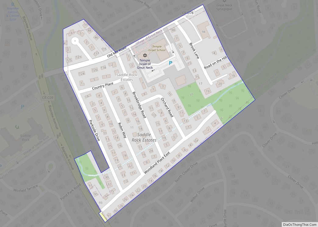
Saddle Rock Estates is a hamlet and census-designated place (CDP) located on the Great Neck Peninsula within the Town of North Hempstead in Nassau County, on the North Shore of Long Island, in New York, United States. The population was 466 at the 2010 census. Saddle Rock Estates CDP overview: Name: Saddle Rock Estates CDP ... Read more
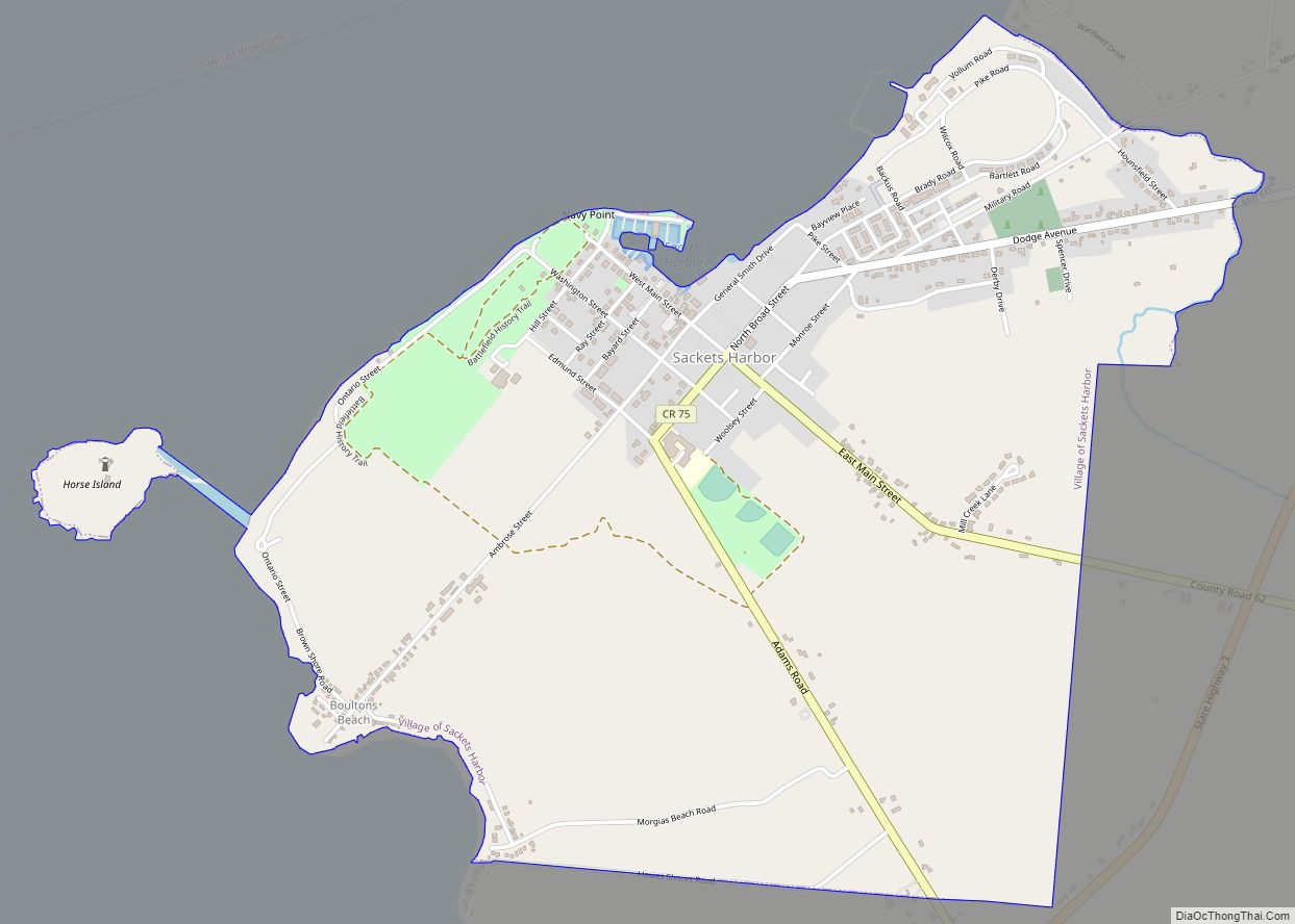
Sackets Harbor (earlier spelled Sacketts Harbor) is a village in Jefferson County, New York, United States, on Lake Ontario. The population was 1,450 at the 2010 census. The village was named after land developer and owner Augustus Sackett, who founded it in the early 1800s. Sackets Harbor is in the western part of the town ... Read more
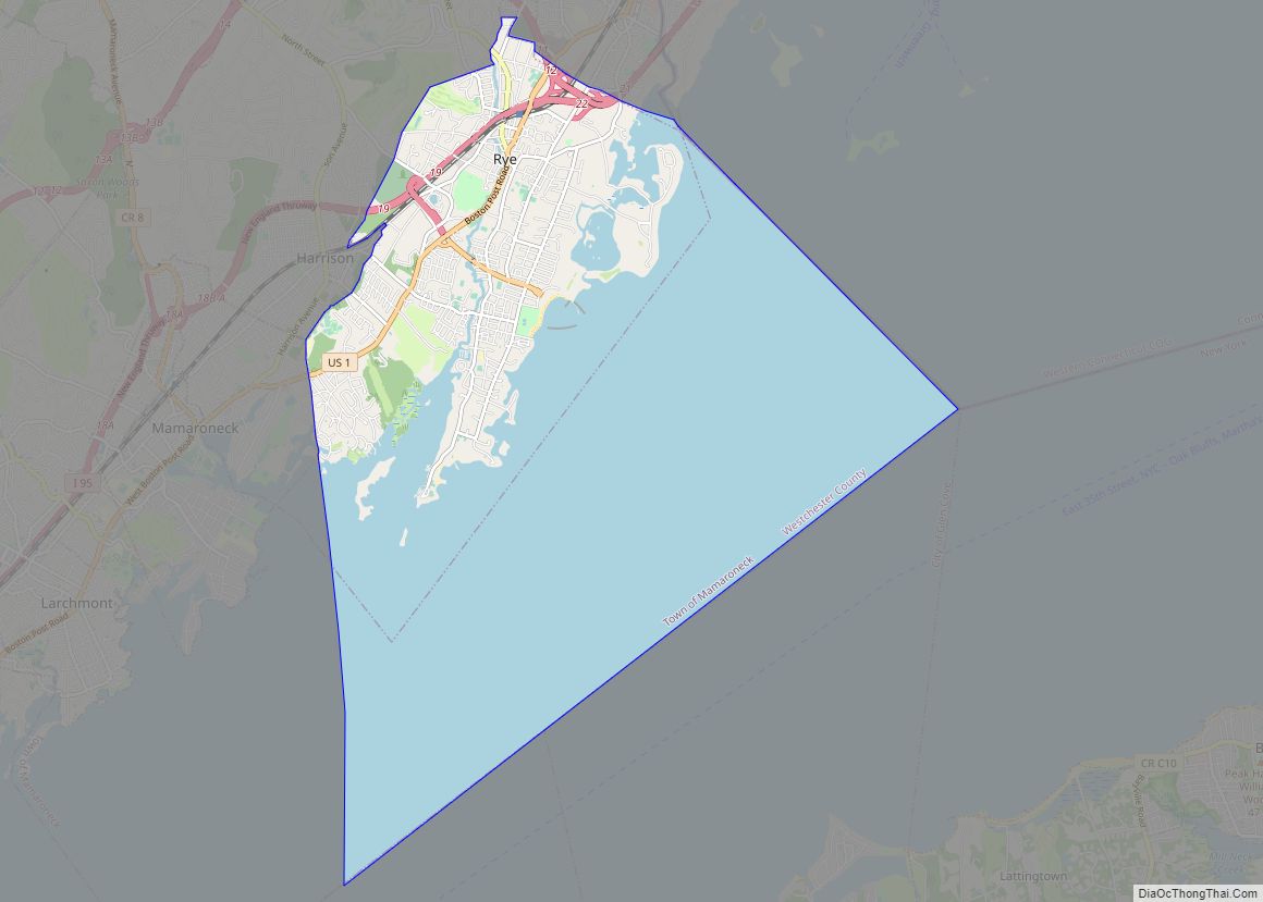
Rye is a coastal city in Westchester County, New York, United States, located near New York City and within the New York metropolitan area. It is separate from the Town of Rye, which has more land area than the city. The City of Rye, formerly the Village of Rye, was part of the Town until ... Read more
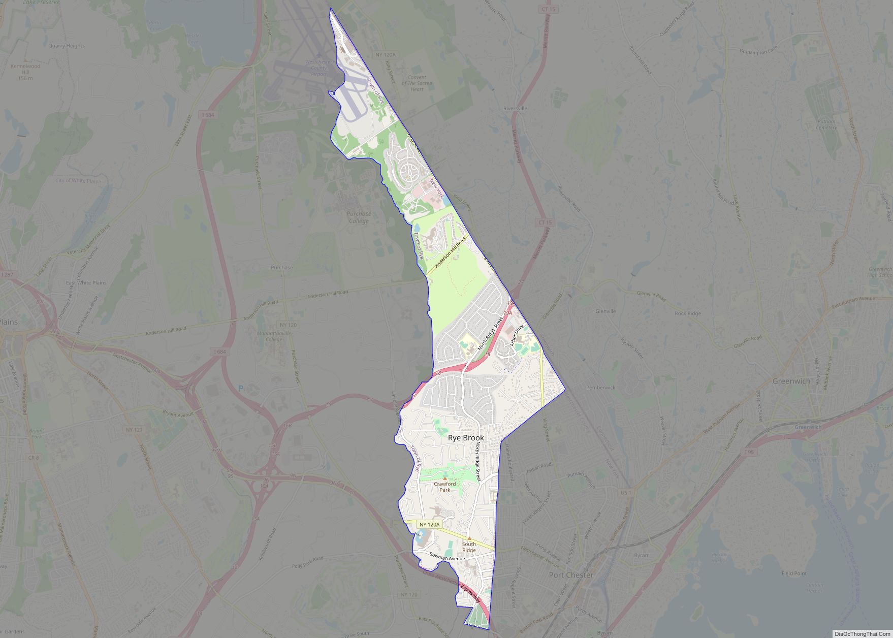
Rye Brook is a village in Westchester County, New York, United States, within the town of Rye. The population was 9,347 at the 2010 census. Rye Brook has been designated as a Tree City USA for 14 years. Rye Brook village overview: Name: Rye Brook village LSAD Code: 47 LSAD Description: village (suffix) State: New ... Read more
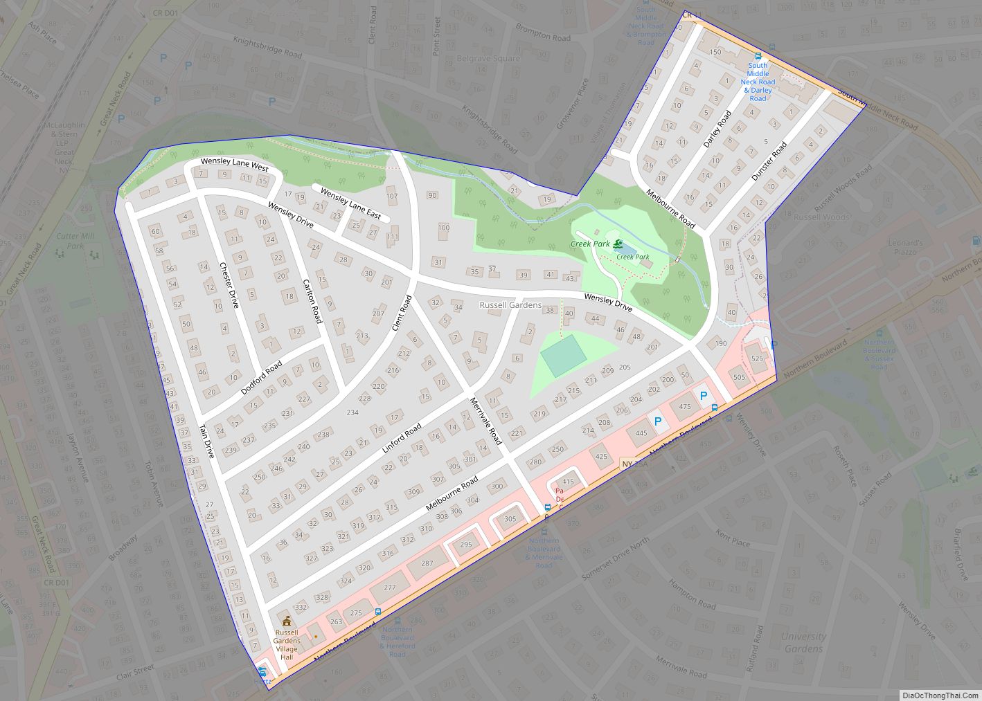
Russell Gardens is a village on the Great Neck Peninsula in the Town of North Hempstead, in Nassau County, on the North Shore of Long Island, in New York, United States. The population was 945 at the 2010 census. The area was proposed to become part of neighboring Thomaston in that village’s original incorporation plans ... Read more
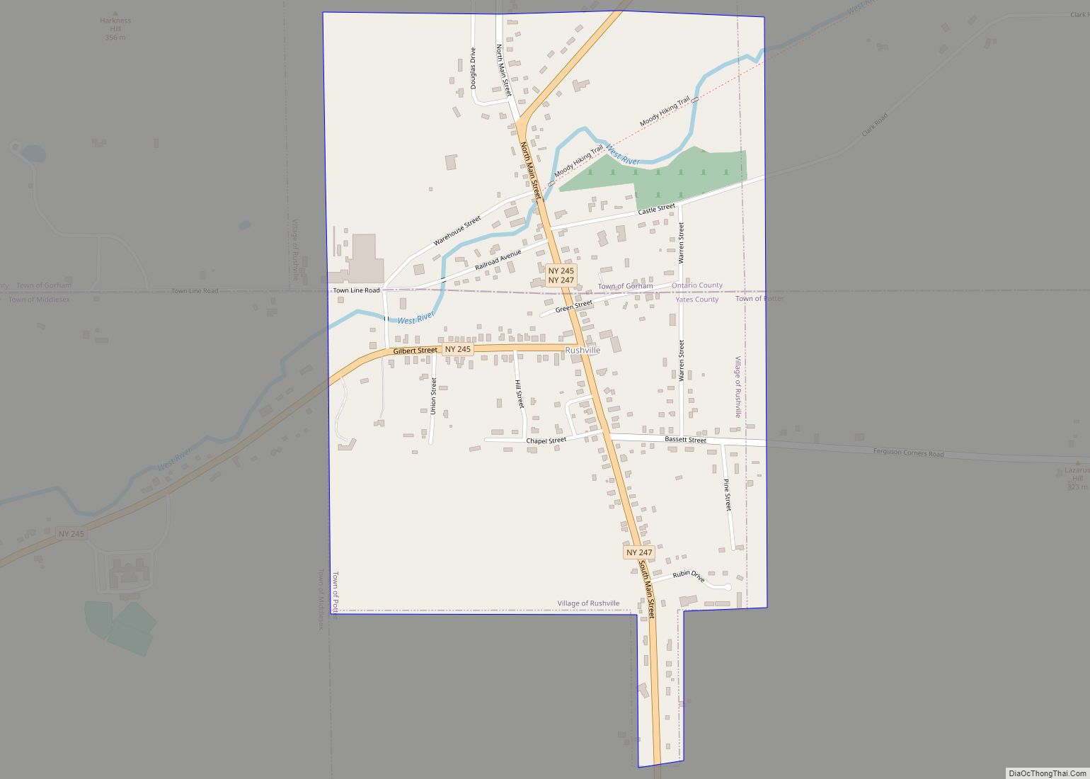
Rushville is a village in Ontario and Yates Counties in the U.S. state of New York. The population was 655 in the 2019 American Community Survey. Most of the Village of Rushville is within the Town of Potter in Yates County and a small part is in the Town of Gorham in Ontario County. It ... Read more
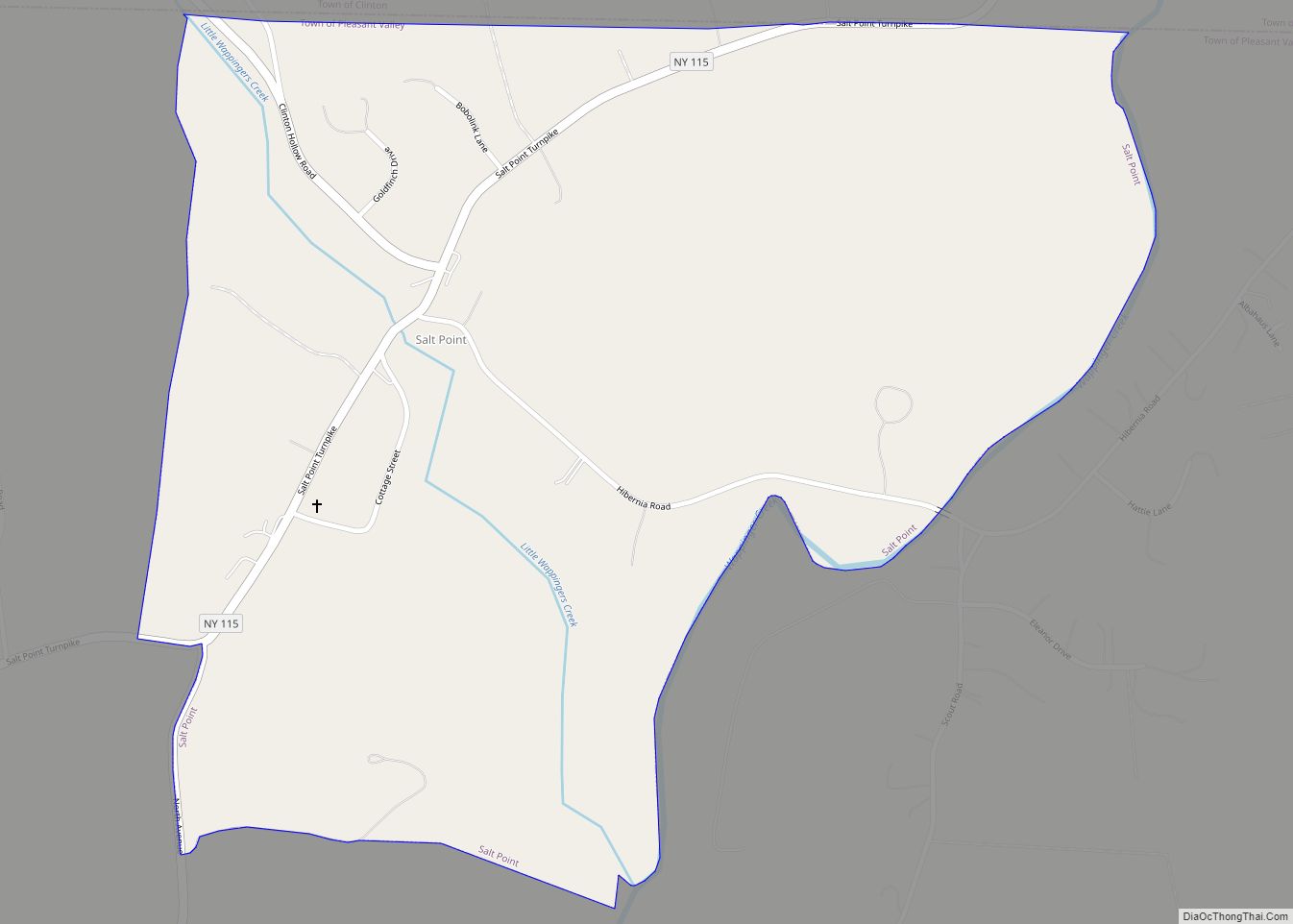
Salt Point is a hamlet and census-designated place (CDP) located in the Town of Pleasant Valley, Dutchess County, New York, United States. As of the 2020 census it had a population of 202. It lies northeast of Poughkeepsie following New York Route 115, the Salt Point Turnpike. East of Salt Point, the Taconic State Parkway ... Read more
