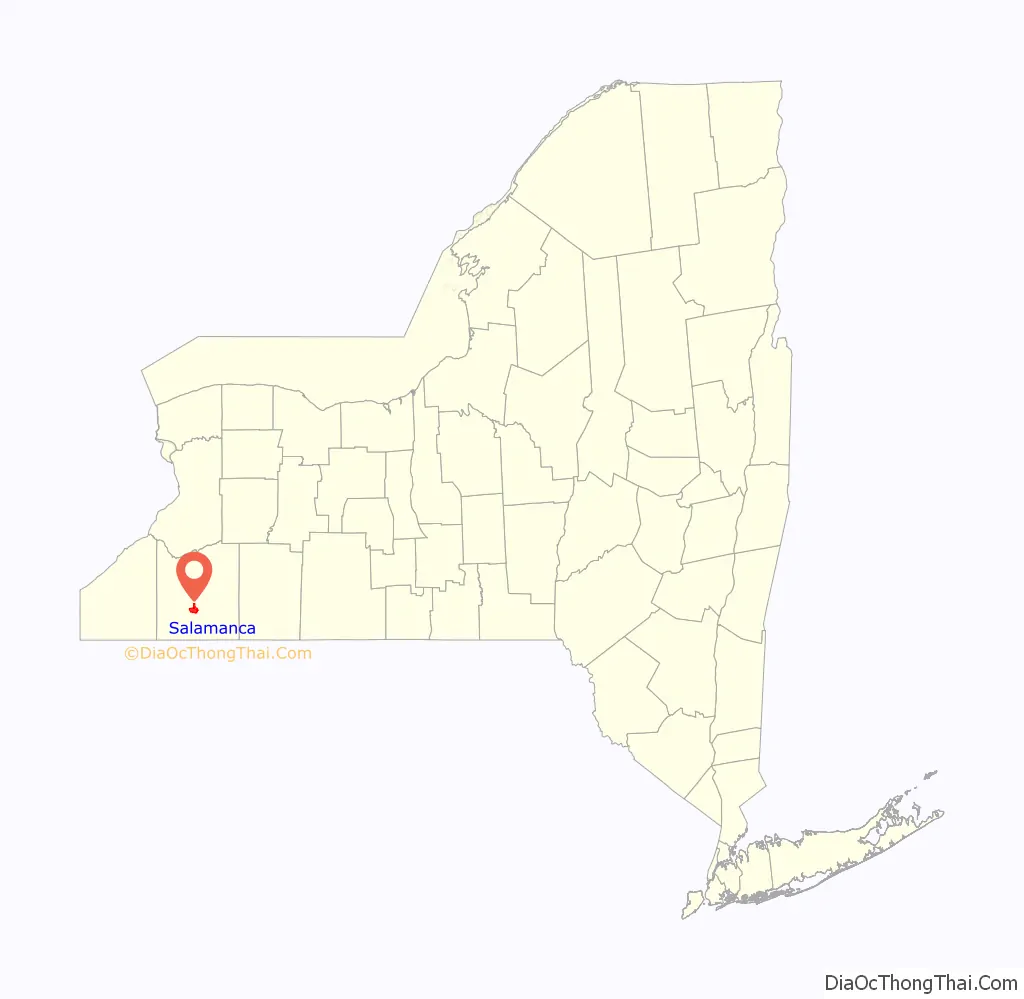
Salamanca (Seneca: Onë:dagö:h) is a city in Cattaraugus County, New York, United States, inside the Allegany Indian Reservation, one of two governed by the Seneca Nation of New York. The population was 5,929 at the 2020 census. It was named after José de Salamanca, a Spanish nobleman and cabinet minister of the mid-19th century.
| Name: | Salamanca city |
|---|---|
| LSAD Code: | 25 |
| LSAD Description: | city (suffix) |
| State: | New York |
| County: | Cattaraugus County |
| Elevation: | 1,381 ft (421 m) |
| Total Area: | 6.24 sq mi (16.15 km²) |
| Land Area: | 5.99 sq mi (15.52 km²) |
| Water Area: | 0.24 sq mi (0.63 km²) |
| Total Population: | 5,929 |
| Population Density: | 989.16/sq mi (381.93/km²) |
| ZIP code: | 14779 |
| Area code: | 716 |
| FIPS code: | 3664749 |
| GNISfeature ID: | 0964291 |
| Website: | www.salmun.com |
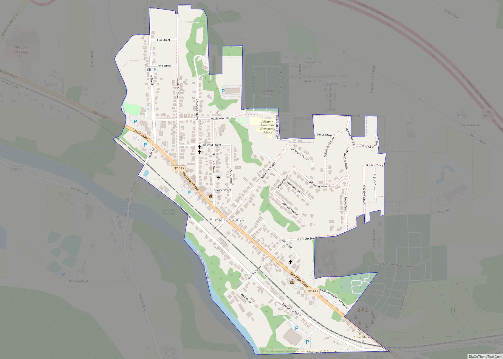
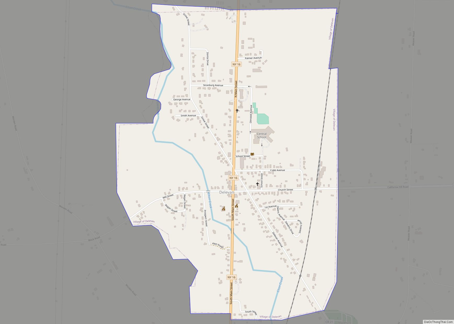
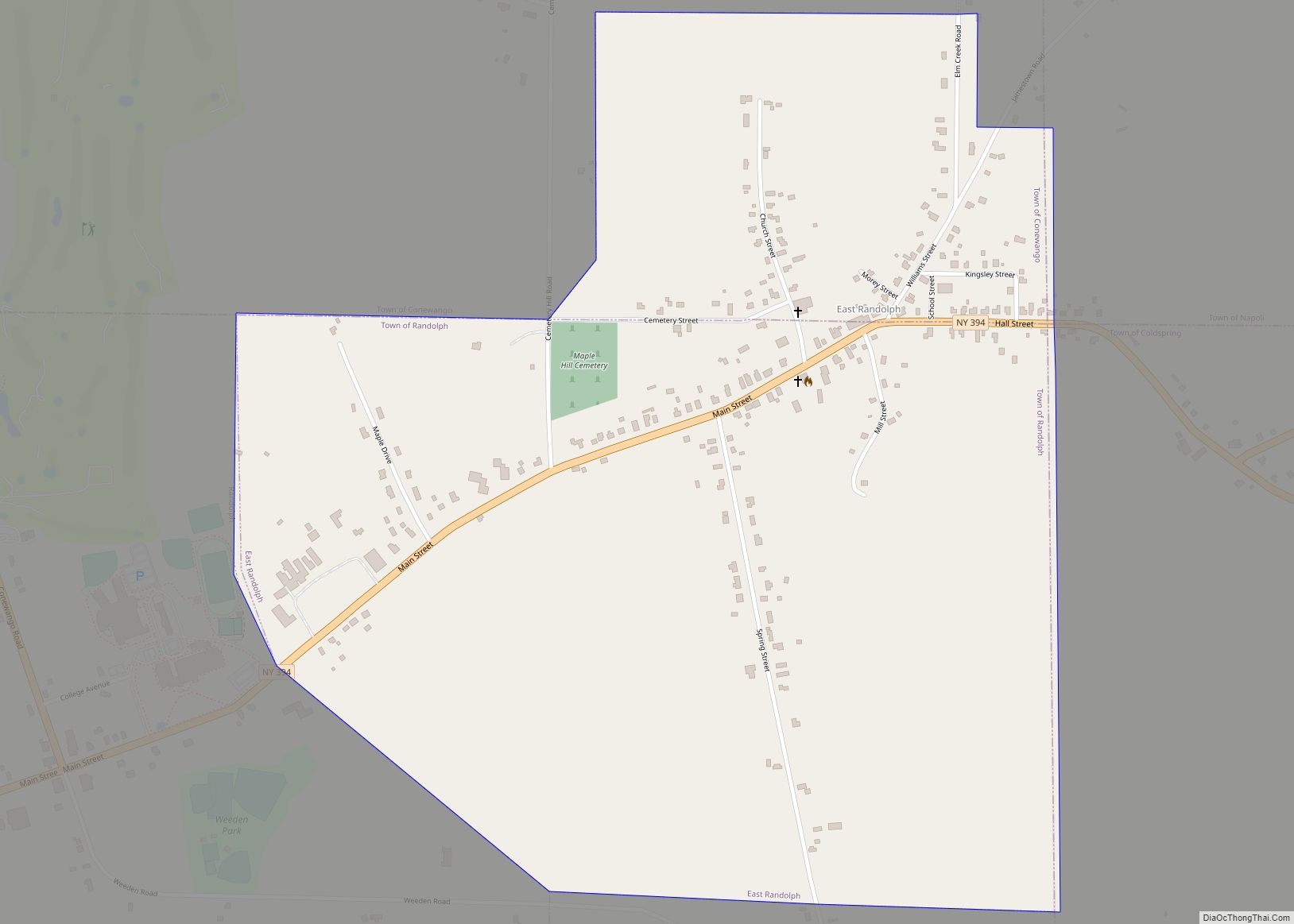
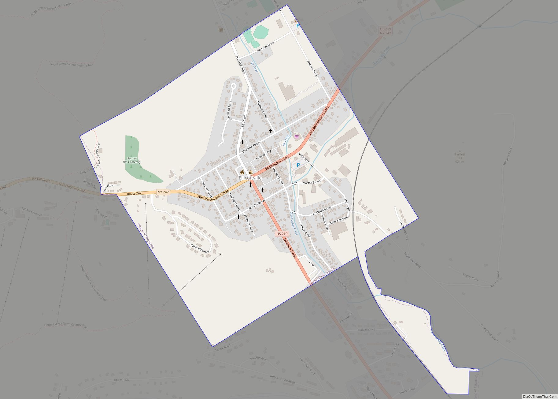
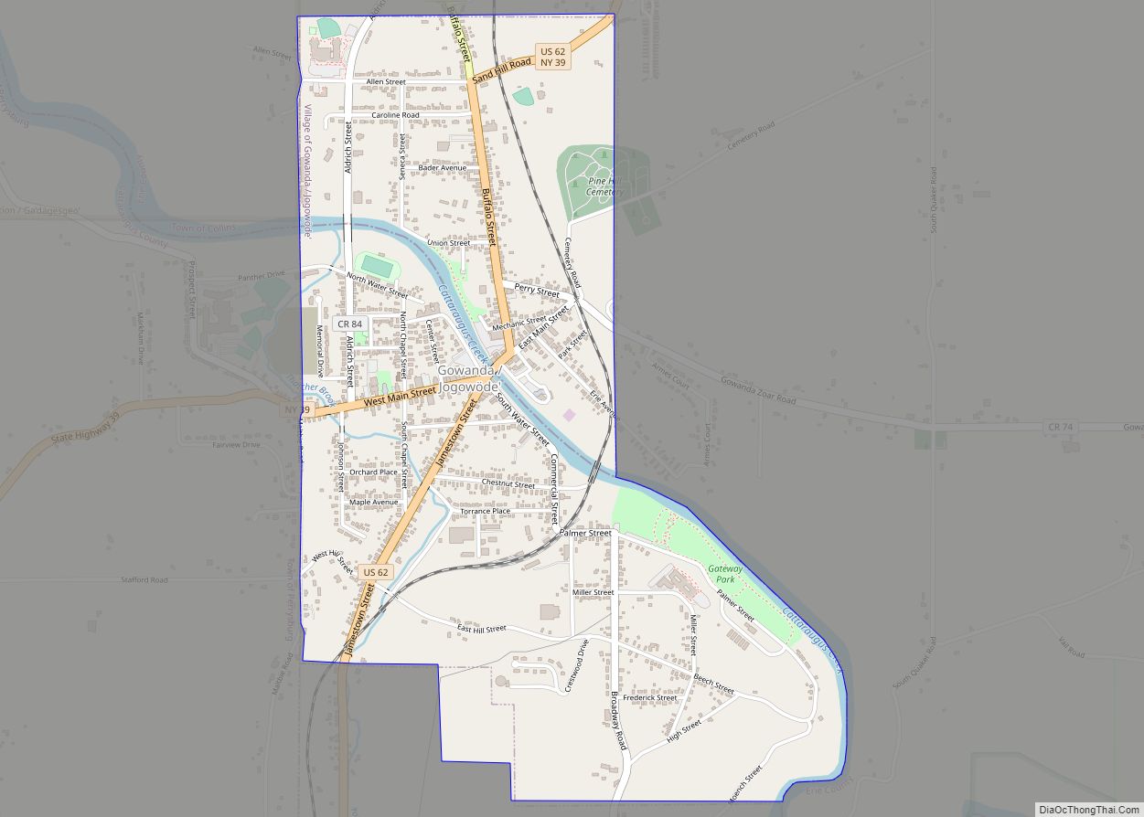
Online Interactive Map
Click on ![]() to view map in "full screen" mode.
to view map in "full screen" mode.
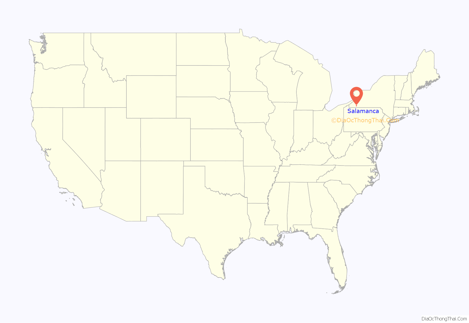
Salamanca location map. Where is Salamanca city?
History
What is now known as the city of Salamanca was originally two separate communities, one on Little Valley Creek and the other on Great Valley Creek; the westernmost one of the two was called “Hemlock”, a name derived from the numerous hemlock trees throughout the surrounding mountains. The eastern community (from modern-day Conrath Avenue eastward) was Kill Buck’s Town; the eastern half of what is now Kill Buck remains an unincorporated hamlet independent of the city of Salamanca. Hemlock was later renamed “West Salamanca” and (although it was marked on road signs as late as the 1990s) was eventually incorporated into the single city of Salamanca. The city was incorporated in 1913.
At one time the city was a thriving railroad hub, with the Erie Railroad (later Conrail), Buffalo, Rochester and Pittsburgh Railway (BR&P) (later Baltimore and Ohio Railroad) both having facilities there. Generations of Salamanca residents worked for the railroads, and much of the housing was originally built for them by the railroads. The city also benefited from the then-thriving lumber industry that dominated much of southwestern Cattaraugus County at the turn of the century, as boomtowns along the Allegheny River such as Elko, South Valley and Red House (all much-less-populated ghost towns today) all used the railroads to ship their goods upstream. At the time of the city’s incorporation, it peaked at under 10,000 residents, not far behind Olean, 19 miles to the east, the major hub of the county; Olean, however, would continue to grow rapidly into the 1950s, while Salamanca’s population would begin falling behind almost immediately. The Salamanca Rail Museum was opened in the former BR&P depot in 1984 to house its archives.
The majority of the city, with the exception of a northeastern spur along Great Valley Creek, was constructed on the Allegany Indian Reservation held by the Seneca Nation of New York, as established in various treaties. Under the nation’s policy, non-Seneca residents are barred from owning real property on the reservation, and non-Senecas can only lease the property from the Seneca Nation. As arranged by the railroads, the previous leases had nominal payments and covered only the land; improvements (i.e., buildings and houses) were considered to be owned by the non-native citizens.
When the leases expired in the early 1990s, the nation tried to gain more from its leases, raising their costs and asserting not only the land, but the improvements were also subject to the native leases. Numerous people living in the city did not agree on the amount of lease payments or the legitimacy of the Senecas’ absolute ownership claim. The controversy aroused bitterness, lawsuits, and appeals to government officials. Congress passed a law explicitly placing the improvements under Seneca jurisdiction, the new leases were put into effect, and fifteen houses were seized and their owners evicted for refusing to sign the leases. The current leases are in effect until 2030, with an option to extend until 2070; proceeds from the lease payments are distributed quarterly to enrolled Seneca Nation members, providing a basic income guarantee.
Despite the lack of ownership, leased land held by non-Senecas is subject to property tax, which the lessee must pay to the city, Cattaraugus County and the Salamanca City Central School District. Seneca-owned land is exempt under the Treaty of Buffalo Creek. Once a Seneca acquires the land, it is taken off the tax rolls; for this reason, the city of Salamanca does not auction-off abandoned properties on the reservation in a property-tax auction, for fear Seneca individuals will buy the land, removing it from the tax rolls.
Salamanca Road Map

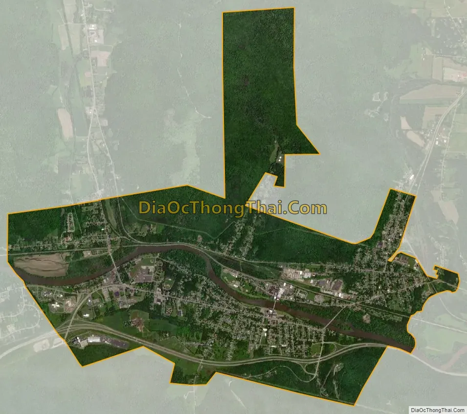
Salamanca city Satellite Map
Geography
According to the United States Census Bureau, the city has an area of 6.24 square miles (16.15 km), of which 5.99 square miles (15.52 km) is land and 0.24 square miles (0.63 km), or 3.88%, is water.
Salamanca is within the Allegany Indian Reservation of the Seneca Nation of New York (one of the six tribes of the Iroquois Confederacy). The city population of about 5,900 is about 19% Native American; this does not include Seneca people living in the nearby hamlets of Jimerson Town (one of the two capitals of the nation) and Kill Buck. The city lies along the Allegheny River and is adjacent to Allegany State Park.
Salamanca is one of the two cities in Cattaraugus County, the other being Olean.
See also
Map of New York State and its subdivision:- Albany
- Allegany
- Bronx
- Broome
- Cattaraugus
- Cayuga
- Chautauqua
- Chemung
- Chenango
- Clinton
- Columbia
- Cortland
- Delaware
- Dutchess
- Erie
- Essex
- Franklin
- Fulton
- Genesee
- Greene
- Hamilton
- Herkimer
- Jefferson
- Kings
- Lake Ontario
- Lewis
- Livingston
- Madison
- Monroe
- Montgomery
- Nassau
- New York
- Niagara
- Oneida
- Onondaga
- Ontario
- Orange
- Orleans
- Oswego
- Otsego
- Putnam
- Queens
- Rensselaer
- Richmond
- Rockland
- Saint Lawrence
- Saratoga
- Schenectady
- Schoharie
- Schuyler
- Seneca
- Steuben
- Suffolk
- Sullivan
- Tioga
- Tompkins
- Ulster
- Warren
- Washington
- Wayne
- Westchester
- Wyoming
- Yates
- Alabama
- Alaska
- Arizona
- Arkansas
- California
- Colorado
- Connecticut
- Delaware
- District of Columbia
- Florida
- Georgia
- Hawaii
- Idaho
- Illinois
- Indiana
- Iowa
- Kansas
- Kentucky
- Louisiana
- Maine
- Maryland
- Massachusetts
- Michigan
- Minnesota
- Mississippi
- Missouri
- Montana
- Nebraska
- Nevada
- New Hampshire
- New Jersey
- New Mexico
- New York
- North Carolina
- North Dakota
- Ohio
- Oklahoma
- Oregon
- Pennsylvania
- Rhode Island
- South Carolina
- South Dakota
- Tennessee
- Texas
- Utah
- Vermont
- Virginia
- Washington
- West Virginia
- Wisconsin
- Wyoming