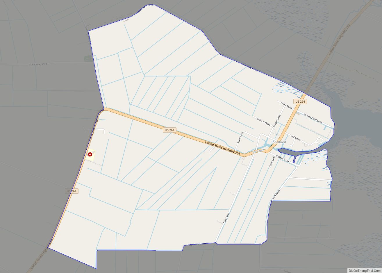
Engelhard CDP overview: Name: Engelhard CDP LSAD Code: 57 LSAD Description: CDP (suffix) State: North Carolina County: Hyde County FIPS code: 3721380 Online Interactive Map Engelhard online map. Source: Basemap layers from Google Map, Open Street Map (OSM), Arcgisonline, Wmflabs. Boundary Data from Database of Global Administrative Areas. Engelhard location map. Where is Engelhard CDP? ... Read more
North Carolina Cities and Places
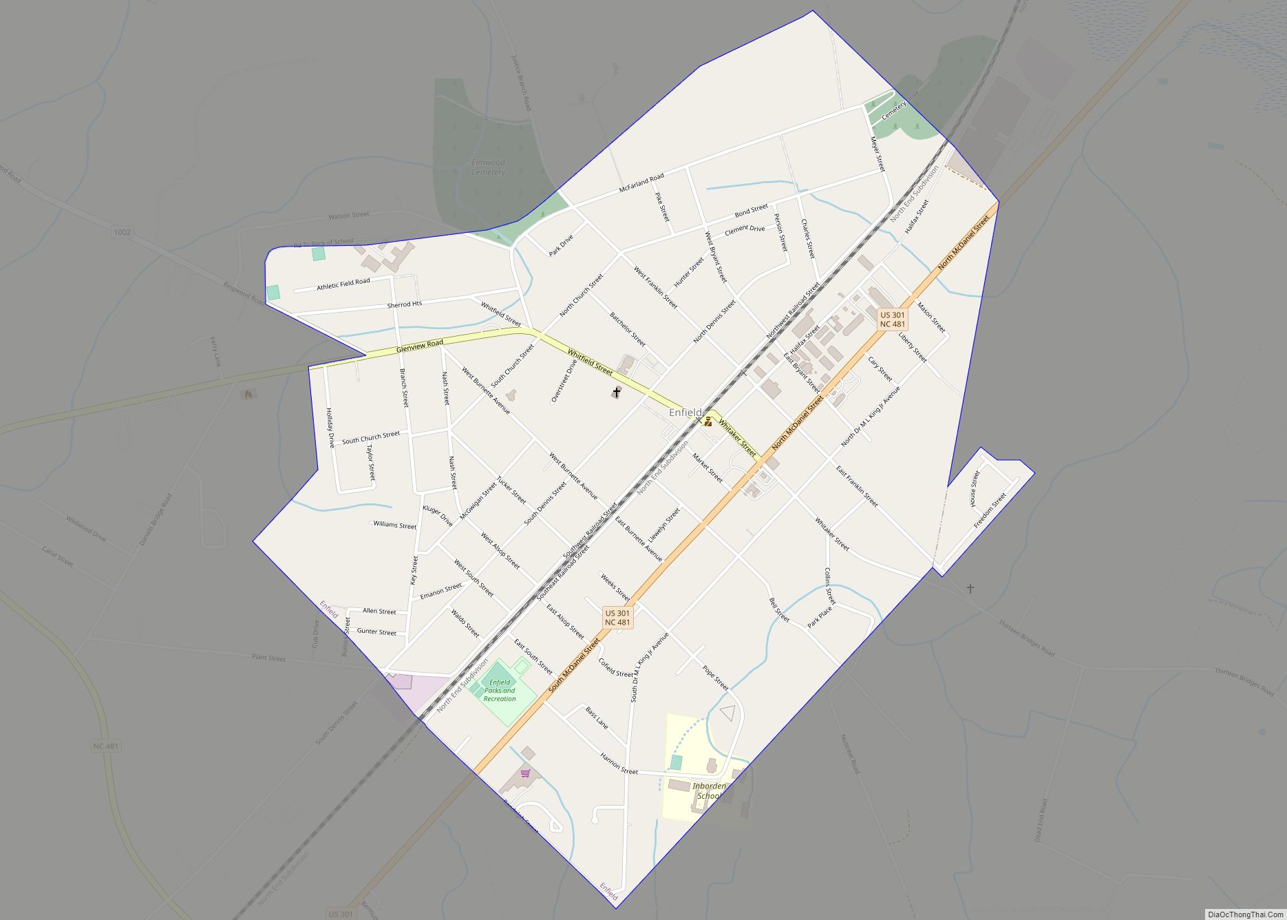
Enfield is a town in Halifax County, North Carolina, United States, and was founded in 1740. As of the 2010 United States Census, the town’s population was 2,532, which reflected an increase of almost 8% from the population of 2,347 in 2000. It is the oldest town in Halifax County, North Carolina, and was once ... Read more
Fairfield is a census-designated place (CDP) and unincorporated community in Hyde County, North Carolina, United States. As of the 2010 census it had a population of 258. The Fairfield Historic District was listed on the National Register of Historic Places in 1985. Fairfield CDP overview: Name: Fairfield CDP LSAD Code: 57 LSAD Description: CDP (suffix) ... Read more
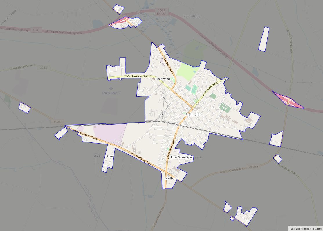
Farmville is a town in Pitt County, North Carolina, United States, eight miles to the west of Greenville. At the 2010 Census, the population was 4,654. Farmville is a part of the Greenville Metropolitan Area located in North Carolina’s Inner Banks region. Farmville has been a Tree City USA community through the Arbor Day Foundation ... Read more
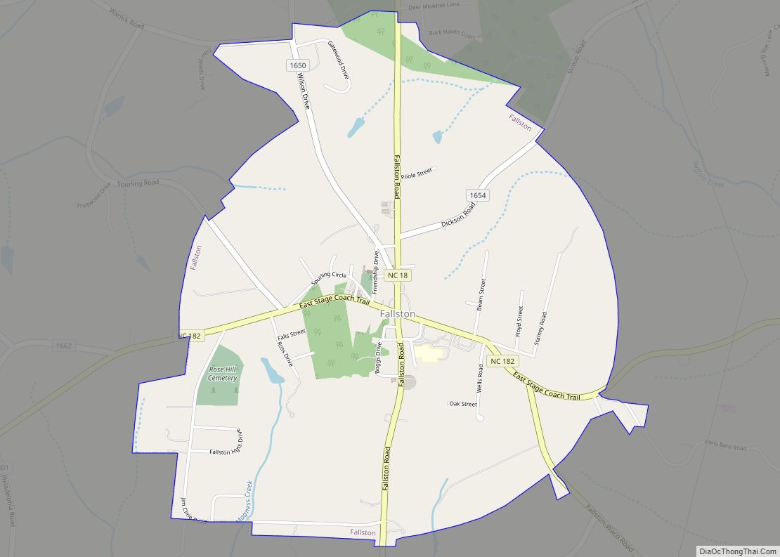
Fallston is a hamlet in Cleveland County, North Carolina, United States. The population was 607 at the 2010 census. Fallston town overview: Name: Fallston town LSAD Code: 43 LSAD Description: town (suffix) State: North Carolina County: Cleveland County Elevation: 1,040 ft (317 m) Total Area: 2.17 sq mi (5.62 km²) Land Area: 2.17 sq mi (5.61 km²) Water Area: 0.01 sq mi (0.01 km²) Total Population: ... Read more
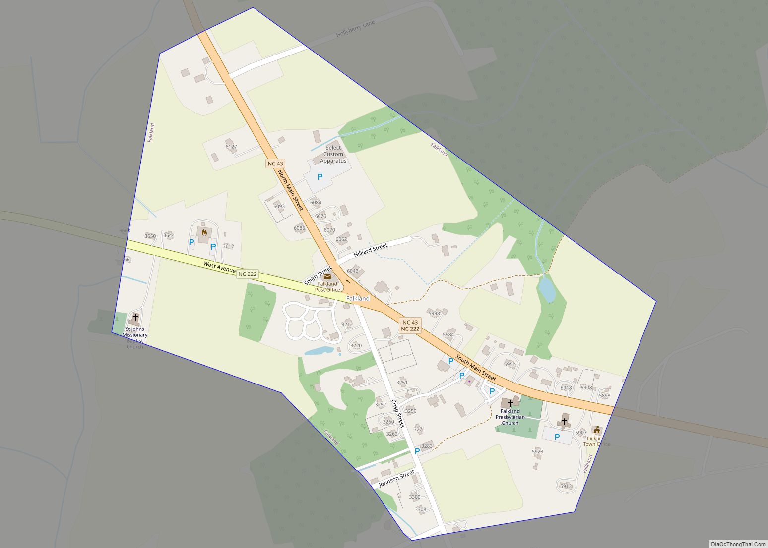
Falkland is a town in Pitt County, North Carolina, United States. The population was 96 at the 2010 Census, making it the least populous town in Pitt County. The town is a part of the Greenville Metropolitan Area located in North Carolina’s Inner Banks region. Falkland town overview: Name: Falkland town LSAD Code: 43 LSAD ... Read more
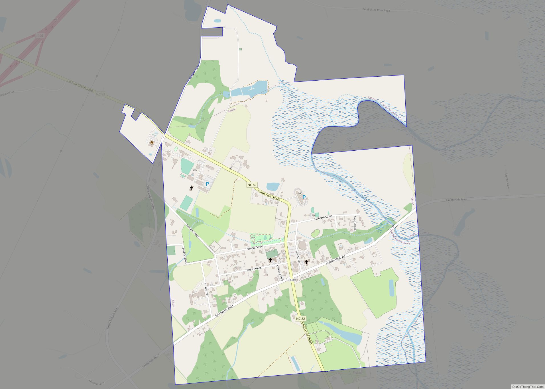
Falcon is a town in Cumberland and Sampson counties in the U.S. state of North Carolina. The population was 258 at the 2010 census. Falcon town overview: Name: Falcon town LSAD Code: 43 LSAD Description: town (suffix) State: North Carolina County: Cumberland County, Sampson County Elevation: 141 ft (43 m) Total Area: 1.41 sq mi (3.66 km²) Land Area: 1.41 sq mi ... Read more
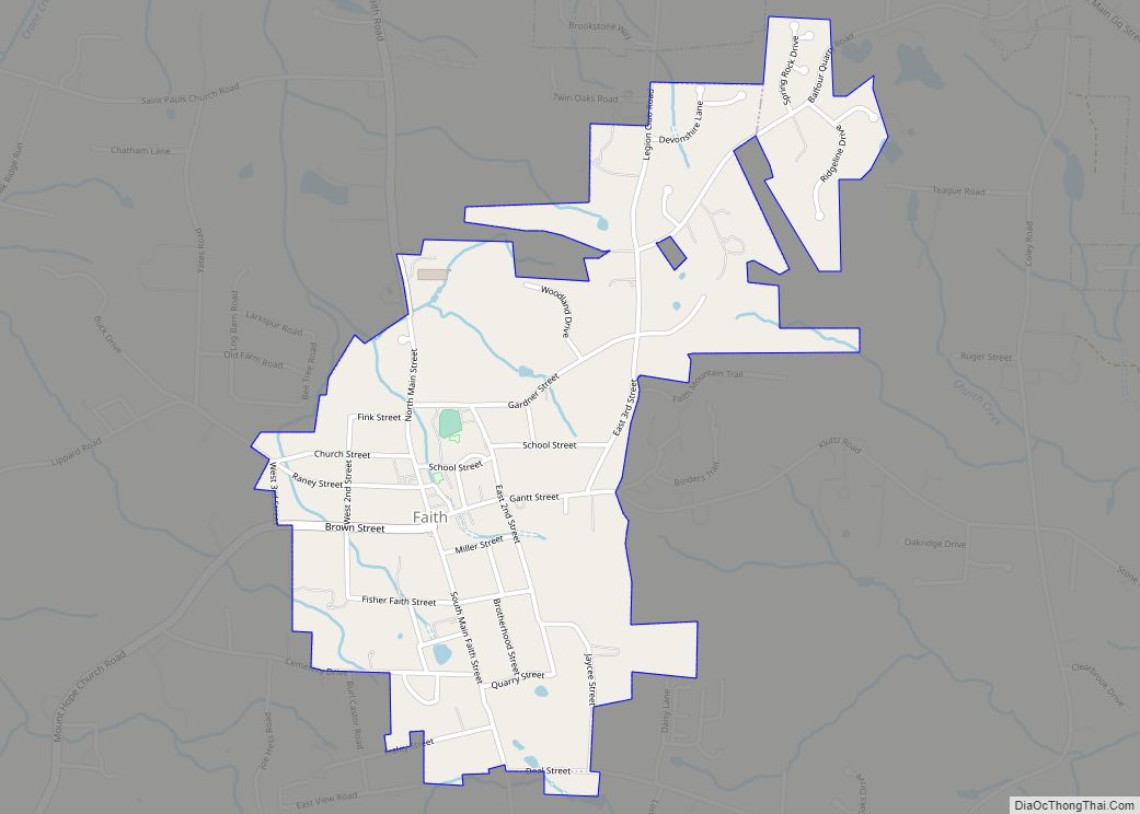
Faith is a town in Rowan County, North Carolina, United States, incorporated in 1903. The population was 807 at the 2010 census. Since 1946, the town has hosted a Fourth of July celebration that has become notably large for a town of its population – running for several days and drawing visitors from many states. ... Read more
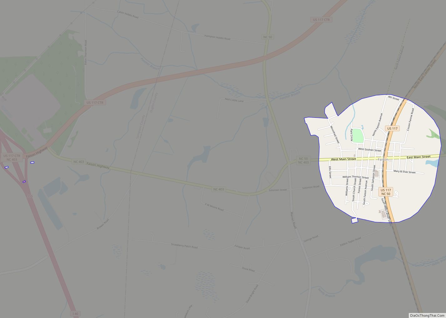
Faison is a town in Duplin County in the U.S. state of North Carolina. The population was 961 at the 2010 census. Faison town overview: Name: Faison town LSAD Code: 43 LSAD Description: town (suffix) State: North Carolina County: Duplin County, Sampson County Elevation: 161 ft (49 m) Total Area: 0.87 sq mi (2.24 km²) Land Area: 0.87 sq mi (2.24 km²) Water ... Read more
Fairview is a census-designated place (CDP) in Buncombe County, North Carolina, United States. The population was 2,678 at the 2010 census. It is part of the Asheville Metropolitan Statistical Area. Fairview CDP overview: Name: Fairview CDP LSAD Code: 57 LSAD Description: CDP (suffix) State: North Carolina County: Buncombe County Elevation: 2,208 ft (673 m) Total Area: 6.22 sq mi ... Read more
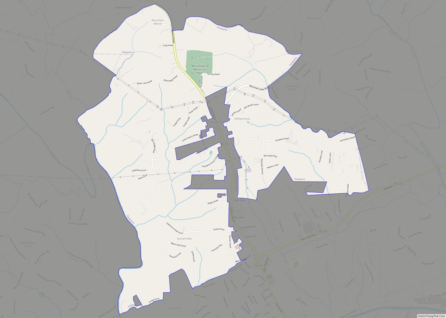
Fairplains is a census-designated place (CDP) in Wilkes County, North Carolina, United States. The population was 2,051 at the 2000 census. The community was named “fairplains” because it was located at the geographic point where the foothills of the Blue Ridge Mountains begin to level off to the gently rolling Piedmont region of central North ... Read more
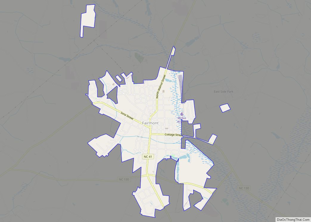
Fairmont is a town in Robeson County, North Carolina, United States. The population was 2,663 at the 2010 Census. Fairmont town overview: Name: Fairmont town LSAD Code: 43 LSAD Description: town (suffix) State: North Carolina County: Robeson County Elevation: 125 ft (38 m) Total Area: 2.77 sq mi (7.16 km²) Land Area: 2.76 sq mi (7.15 km²) Water Area: 0.01 sq mi (0.01 km²) Total Population: ... Read more
